Click/tap image to enlarge | Mainly dry this morning then scattered to numerous showers and lightning storms will develop this afternoon and move east-northeast and off the coast early this evening. A few gusty storms up to 50 mph and locally heavy rain will accompany the stronger storms, especially near the coast.
Click/tap image to enlarge | A Marginal risk of excessive rainfall exists today across all of east central Florida. While most areas will see rainfall amounts less than 1 inch, localized areas could see 2 to 4 inches where heavy rain persists. This will cause temporary flooding, especially in urbanized and low lying areas. Do not drive through flooded roadways.
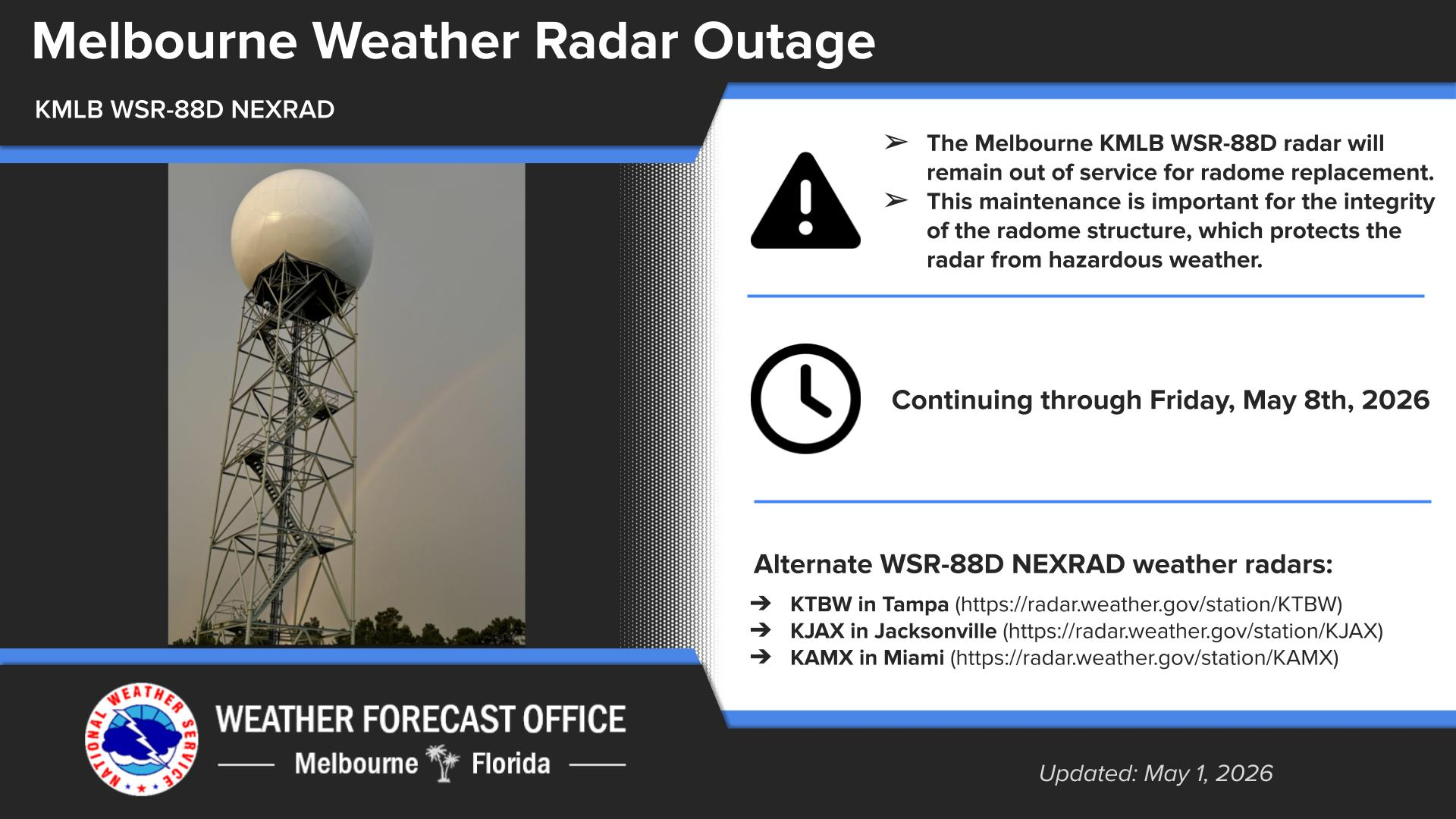


 Interactive Radar
 Regional Satellite
 Tropical Weather