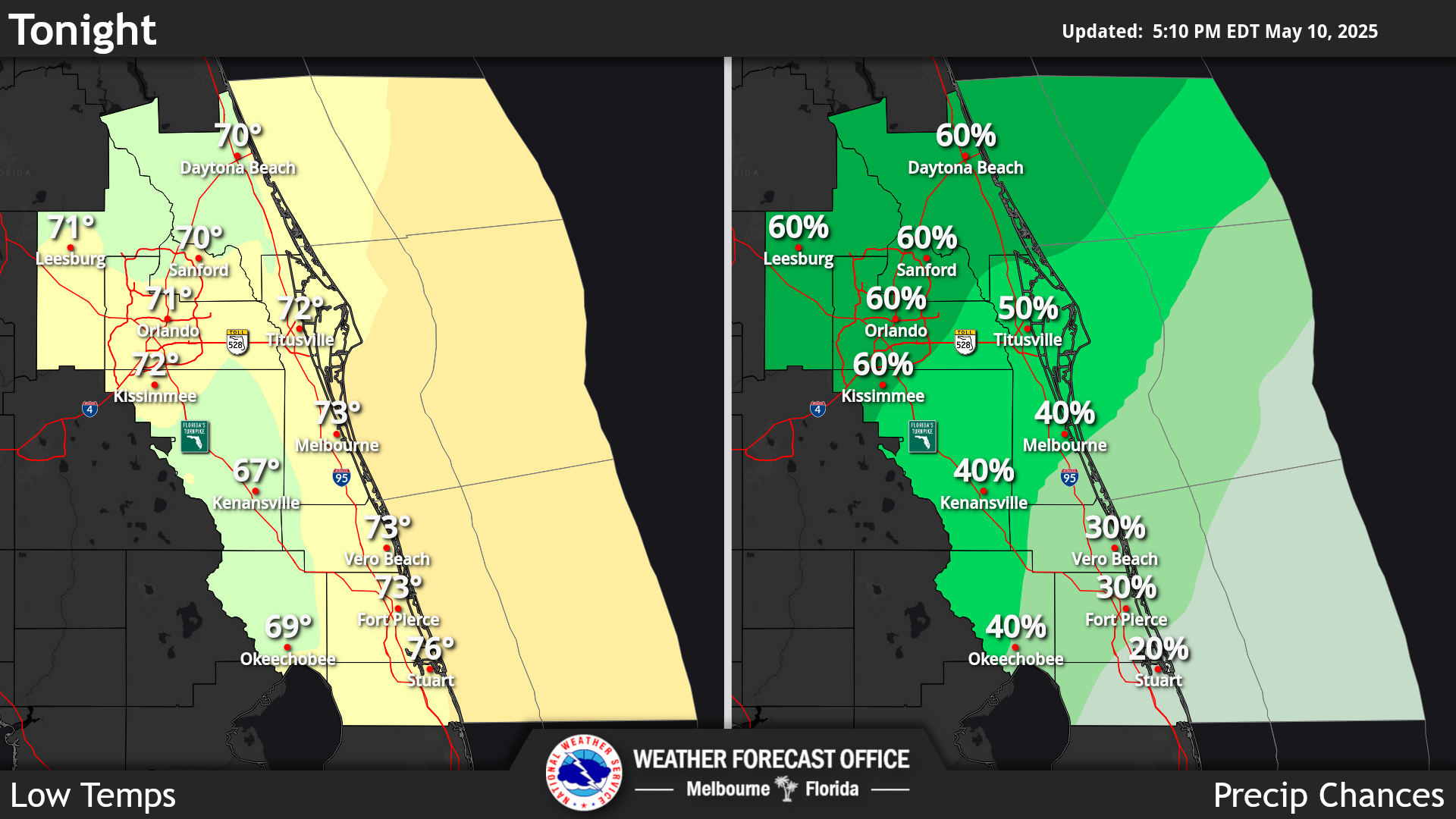
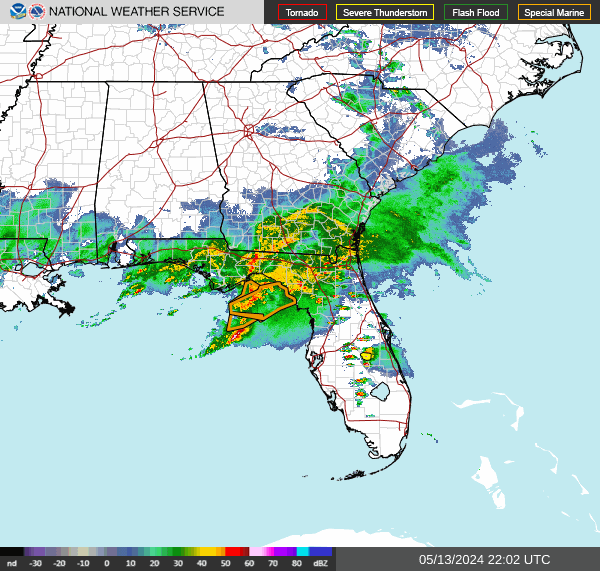
Click/tap image to enlarge | Mostly dry weather is forecast today, especially across the interior, however, isolated to scattered (onshore-moving) showers are forecast through tonight along the coast. Locally heavy downpours are possible at the coast. Below to near normal high temperatures in the upper 70s to low 80s are expected. Hazardous beach and boating conditions continue with a High Risk for rip currents. It is not advised to enter the surf!
Click/tap image to enlarge | Poor to Hazardous boating conditions continue. A Small Craft Advisory is in effect for portions of the east central Florida Atlantic waters for seas 6 to 8 feet and northeast winds 15-20 knots and gusty.
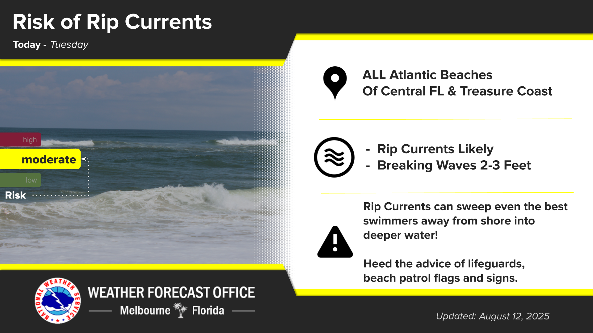
Click/tap image to enlarge | There is a High risk of numerous, strong, life-threatening rip currents at all area beaches today. Surf will be 4-7 feet. Entering the surf is strongly discouraged.
Click/tap image to enlarge | Coastal and marine conditions are forecast to deteriorate through this weekend as northeast winds increase, seas increase, and high astronomical tides return. Moderate to major beach erosion will be possible and minor to moderate coastal flooding also expected.











 Interactive Radar
 Regional Satellite
 Tropical Weather
 Follow us on X
 Follow us on Facebook
 MLB RSS Feed