Strong thunderstorms associated with a potent upper level system produced scattered occurrences of severe weather across eastern North Carolina late March 4th into the early part of March 5th. Although some the storms that produced damage had strong low level circulations that may indicate the presence of a tornado, the damage that resulted was determined to have occurred due to downburst thunderstorm winds.
There were 2 distinctive areas of strong convection that produced wind damage. The initial reports of damage were from a series of supercell thunderstorms that moved north across eastern North Carolina during the very late evening through the early morning hours. These supercell thunderstorms produced scattered damage in Duplin County between Kenansville and Beulaville, in Onslow County near Richlands, and in western Craven County near Fort Barnwell and Riverside. Most of the damage that was reported from these storms was from downed trees, some of which fell onto power lines. The second band of strong convection was in a multicellular line which moved from west to east across the area from just before midnight through the early morning hours before exiting off the Outer Banks shortly after 3 am on March 5th. This second line of thunderstorms also produced sporadic reports of wind damage in Duplin County near Bowdens, in Lenoir County near Pink Hill, and in Beaufort County near Washington. Again, damage was mainly reported as downed trees from strong wind gusts, but there were also reports of damage to a house under construction east of Washington, and siding ripped off a house in Hubert. In addition to the observed damage, a high wind gust of 60 mph was reported in Pamlico County near Oriental, a 58 mph wind gust was recorded at Smith Field in Beaufort in Carteret County, and 78 mph wind gust was recorded at Hammocks Beach in Onslow County.
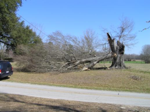
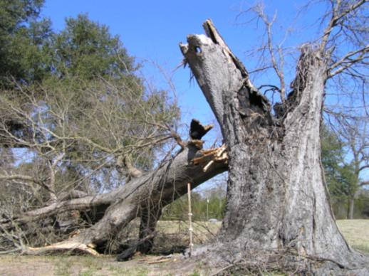
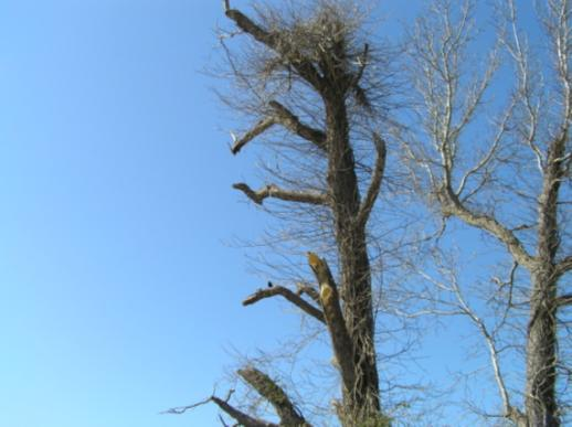
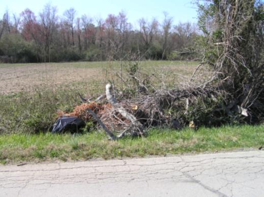
The following are pictures of damage to trees along Gregory Fork Road near Richlands.


Case Study Team:
WFO MHX