
A widespread heat wave will peak over the South and East today, with several dozen temperature records expected along the East Coast. Heat should begin to ease this weekend in the Northeast, while hazardous heat continues over the South. Severe thunderstorms capable of damaging winds are possible across parts of the Appalachians, Mid Atlantic, and Northeast this afternoon and evening. Read More >
The following data are snowpack. Basin snowpack images have been discontinued. Please find the latest Western Basin Snow Water Equivalent maps here. The following data are preliminary and estimated snow depths across the region. Methodology for this now depth imagery is here: https://www.nohrsc.noaa.gov/technology/pdf/NOAAs_National_Snow_Analyses.pdf
Latest Modeled Snow Depth per NOHRSC. Click for snow depth value. Latest Estimated Snow Depth per NOHRSC Latest Estimated Snow Depth Compared to Normal Snow Depth for Current Month per NOHRSC Estimated snowfall in past 24 hours per NOHRSC Estimated Snow depth over the CONUS per NOHRSC
Crater Lake Snow Depth
Regional Snow Depth Imagery


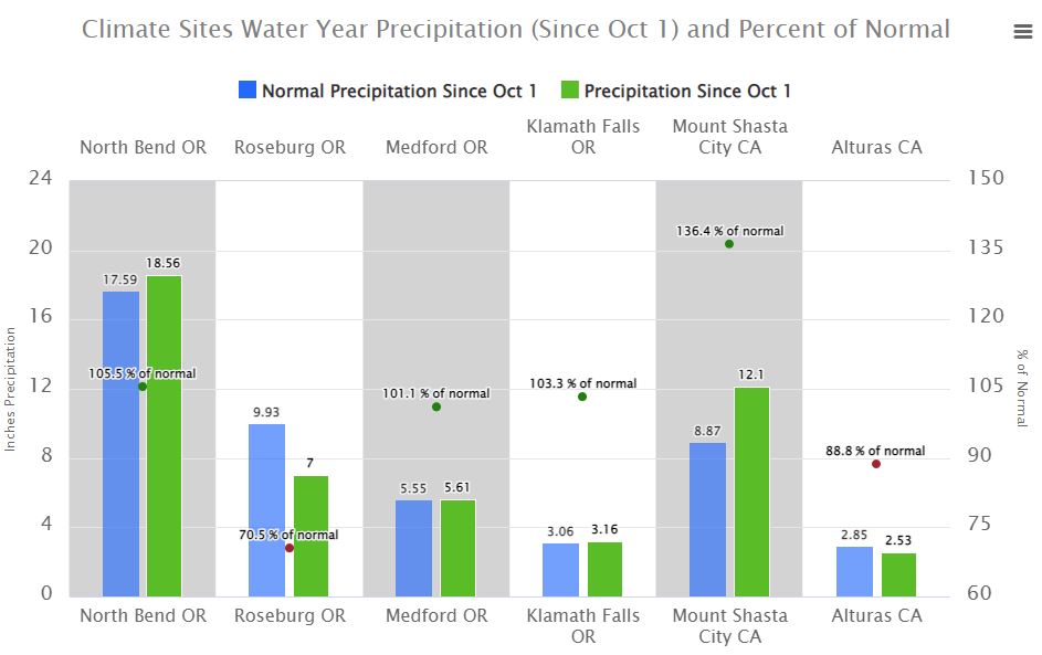 Precipitation Tracker
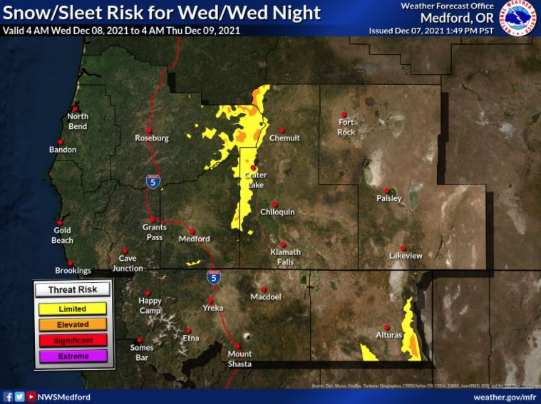 Graphical Hazards Outlook
 RADAR and Satellite
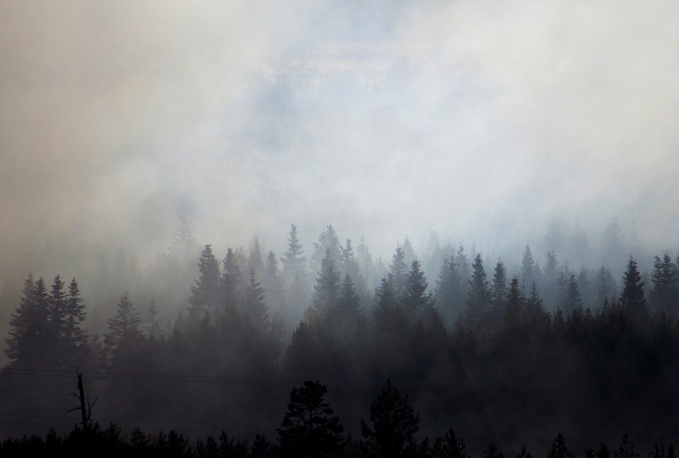 Wildfire Safety
 Forecast Discussion
 Snowfall and Depth With Crater Lake Details
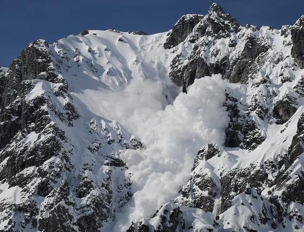 Avalanche Guidance
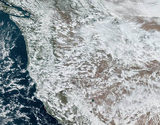 NESDIS Geocolor
 Weather Map
 Marine
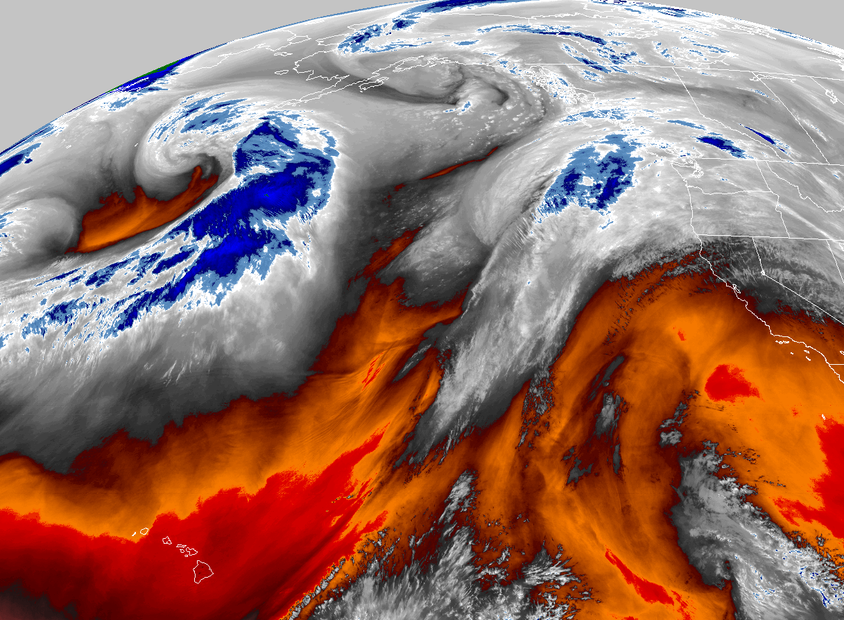 GOES 18 Water Vapor Imagery
 Local Climate Data
 Alternate Point Forecast
 Smoke Forecast
 Weather Stats
 Year Charts
 Fire Weather