
Dangerous and extreme heat will remain across portions of the southern U.S. this week. Heavy rainfall may bring significant flash flooding across portions of the Mid-Atlantic and Northeast through the night, and additional flash flooding concerns across New England on Wednesday. Monsoonal thunderstorms will bring a flash flood risk to the Four Corners region, especially in burn scar areas Read More >
Link to Pan and Zoom RADAR Imagery
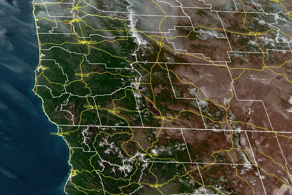
Latest RADAR imagery (KMAX--Mt Ashland)

KBHX--Eureka, CA

KBBX -- Beale AFB, CA

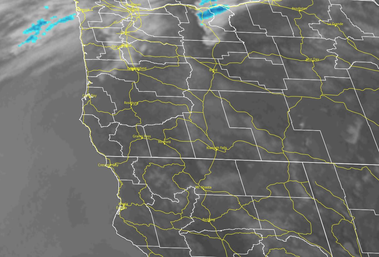
KRTX--Portland, OR


Click to enlarge national RADAR image

 |
|
| Helpful hints when viewing this "lite" RADAR imagery | |
|
Time is it UTC. Subtract 7 hours to get PDT and 8 hours to get PST |
|
|
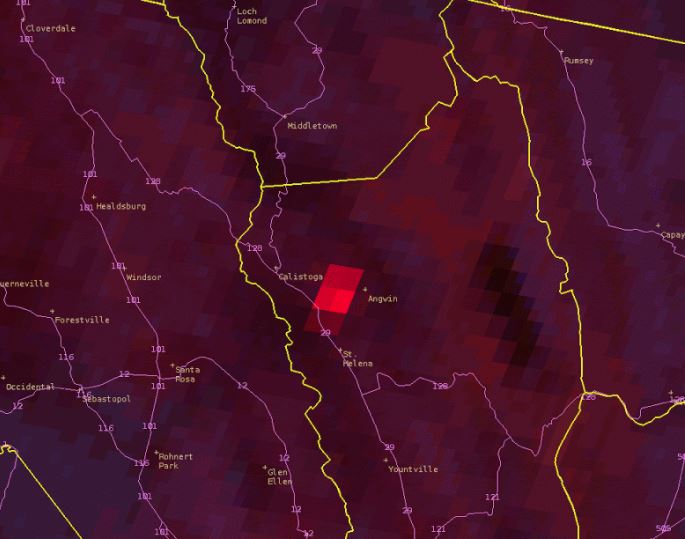
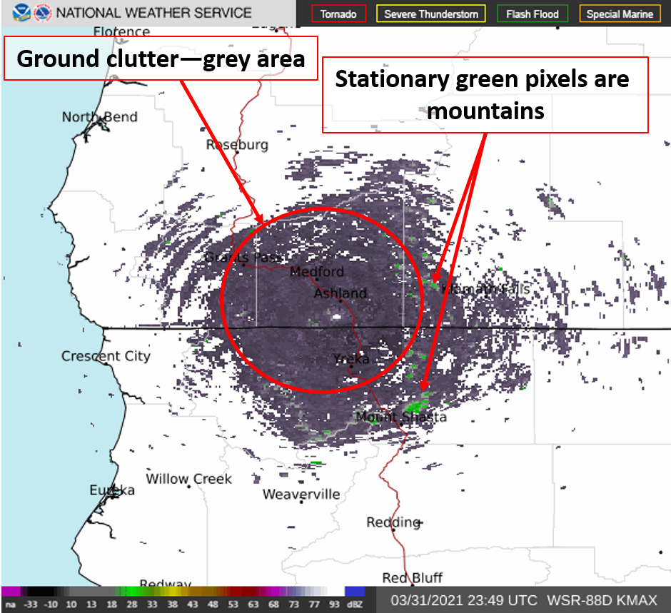
Ground Clutter: Image is what it can look like when there is no precipitation but significant ground clutter. The grey and green areas won't move much.
|
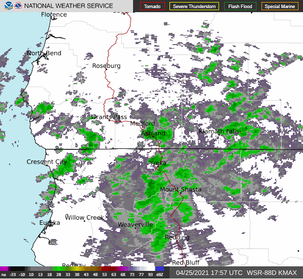
Actual Precipitation: Image below shows precipitation in the area. Green areas change/move like you'd expect with areas of rain/snow.
|
 |
|
 |
|
 |
|
 |
|
 |
|


 Precipitation Tracker
 Graphical Hazards Outlook
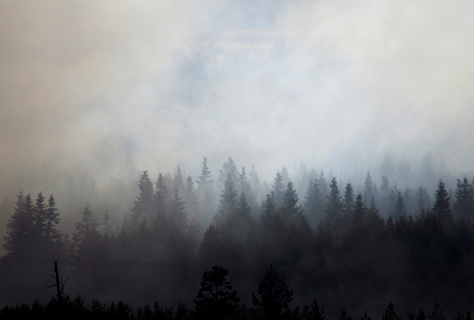 Wildfire Safety
 Forecast Discussion
 Snowfall and Depth With Crater Lake Details
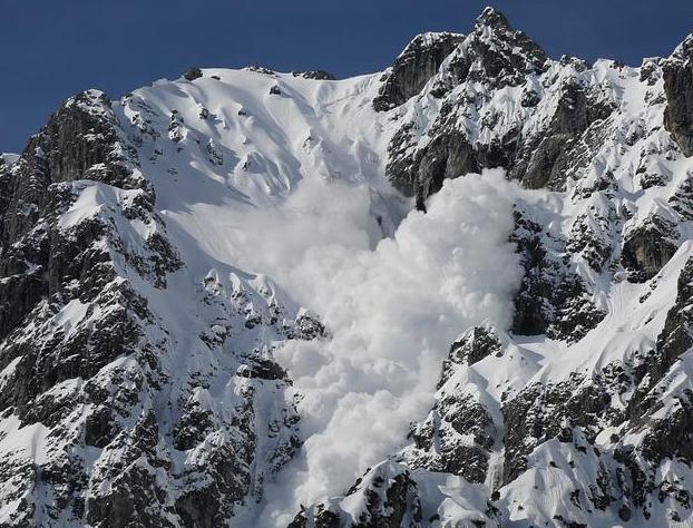 Avalanche Guidance
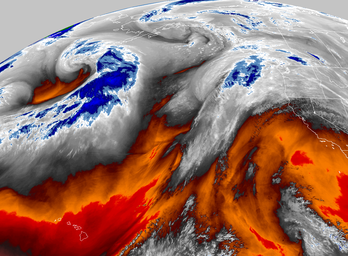
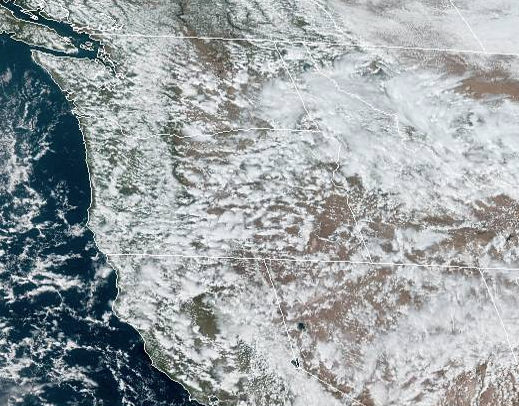 NESDIS Geocolor
 Weather Map
 Marine
 Local Climate Data
 Alternate Point Forecast
 Smoke Forecast
 Weather Stats
 Year Charts
 Fire Weather