
Thunderstorms, some severe, may produce heavy to excessive rainfall and isolated flooding over portions of the Southern Plains through Saturday. Widespread showers and thunderstorms will spread east into the Great Lakes, Ohio Valley, Mid Atlantic and Northeast. Dry conditions, combined with gusty winds will continue to support an elevated fire weather threat in the Desert Southwest. Read More >
Sign up for Jackson and Josephine County Phone Alerts here, including evacuation notices: https://member.everbridge.net/1332612387832182/login
Jackson County Evacuation notice maps: https://jacksoncountyor.org/emergency/News/Wildfires-Smoke/category/wildfires-in-jackson-county
Jackson County interactive evacuation maps: https://jcgis.maps.arcgis.com/apps/webappviewer/index.html?id=3caa39804db54631a61007180d5ef415
Oregon interactive evacuation maps: https://www.oregon.gov/oem/emops/Pages/RAPTOR.aspx
Air Quality Map for Southern Oregon and Northern California: https://tools.airfire.org/monitoring/v4/#!/?category=PM2.5_nowcast¢erlat=42.6178¢erlon=-122.6074&zoom=7
Oregon Dept of Environmental Quality Map: https://oraqi.deq.state.or.us/home/map
HRRR smoke model tutorial: https://www.weather.gov/mfr/HRRR_smoke_tutorial


 Graphical Hazards Outlook
 RADAR and Satellite
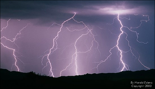 Lightning Climatology
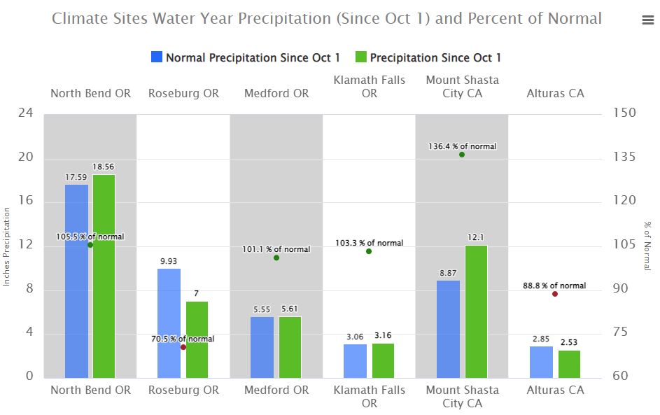 Precipitation Tracker
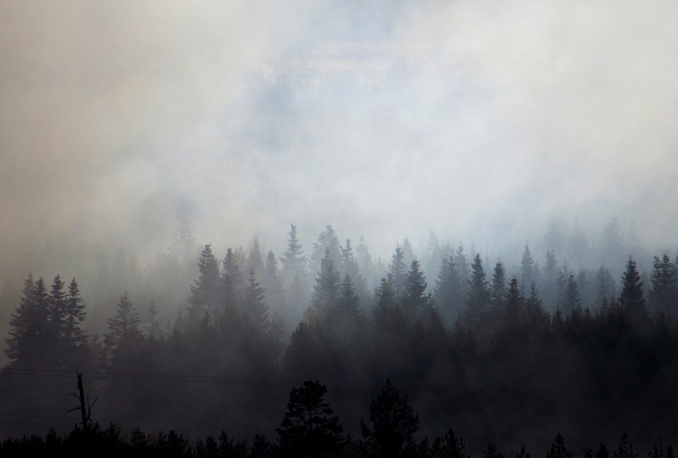 Smoke and Wildfire Safety
 Forecast Discussion
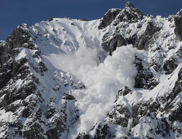 Avalanche Guidance
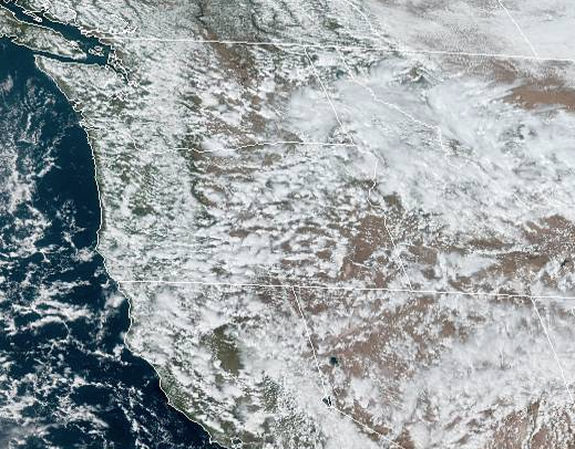 NESDIS Geocolor
 Weather Map
 Forecast Weather Tables
 Climate Graphs
 Marine
 Fire Weather
 Crater Chronicle and Monthly Climate Summaries
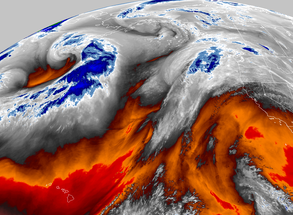 GOES 18 Water Vapor Imagery
 Mountain Pass Forecasts