
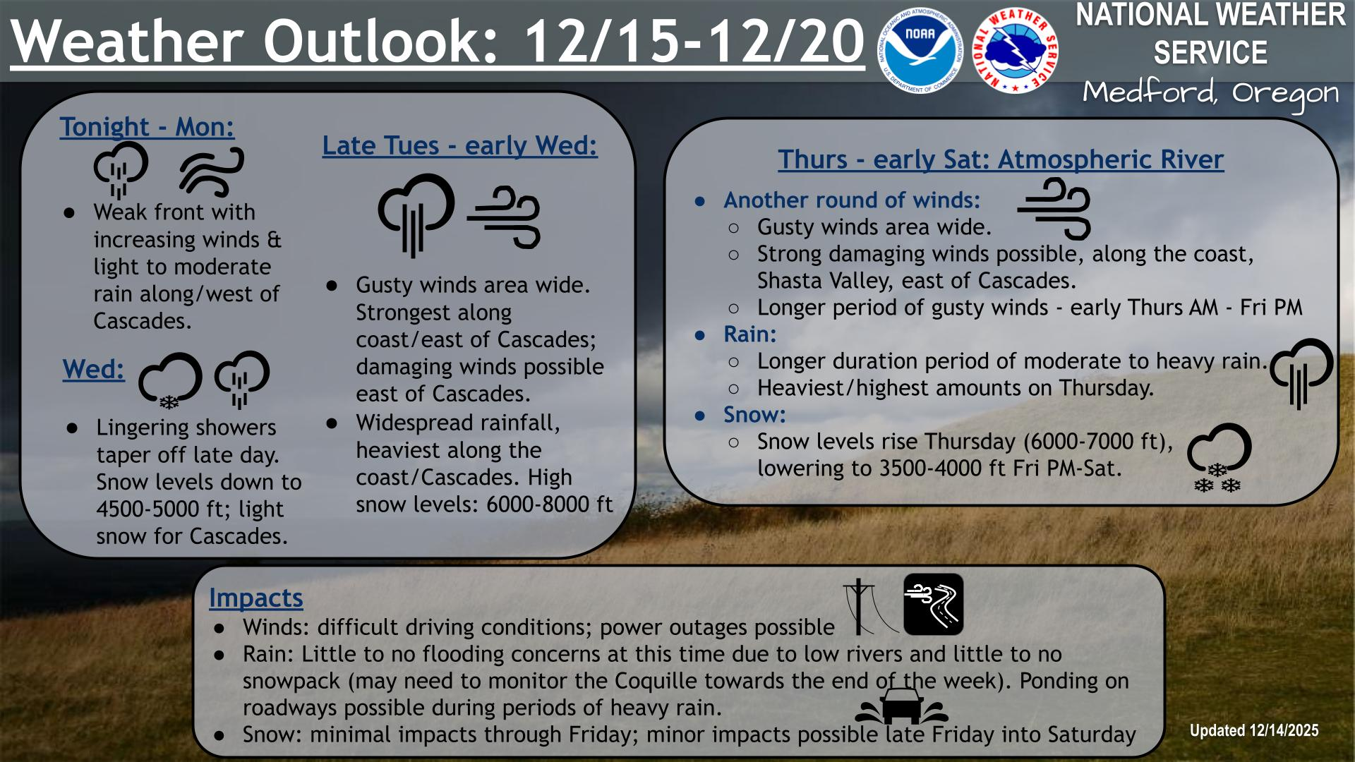
A winter storm will bring heavy snow and ice to the Ohio Valley into the Mid-Atlantic Tuesday into Wednesday. Significant ice is forecast for the Central Appalachians. Heavy snow is likely through the I-95 corridor from Virginia to Pennsylvania. Another winter storm is slated to bring heavy snow and ice to the Central Plains later Tuesday, and spread into the Midwest and Great Lakes Wednesday. Read More >
Last Map Update: Tue, Feb 11, 2025 at 1:24:11 am PST


|
Text Product Selector (Selected product opens in current window)
|
|


 Precipitation Tracker
 Graphical Hazards Outlook
 RADAR and Satellite
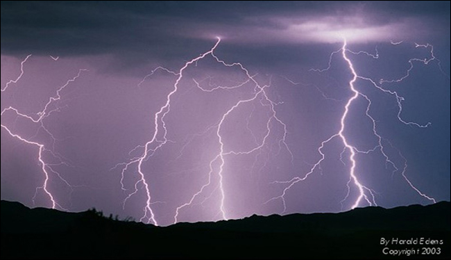 Lightning Climatology
 Smoke and Wildfire Safety
 Forecast Discussion
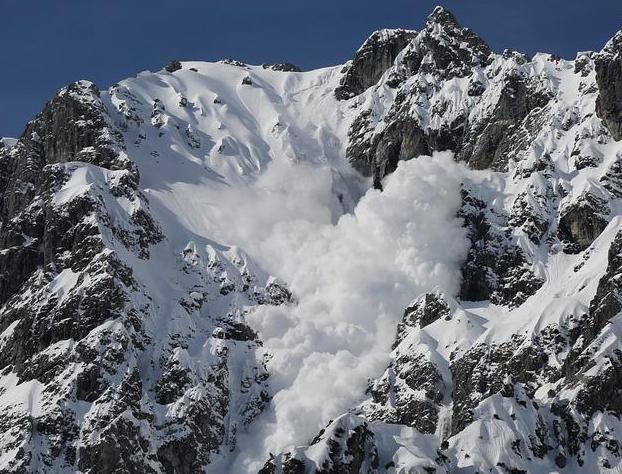 Avalanche Guidance
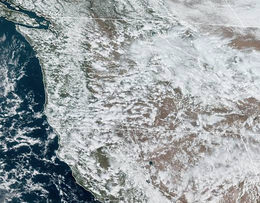 NESDIS Geocolor
 Weather Map
 Forecast Weather Tables
 Climate Graphs
 Marine
 Fire Weather
 Crater Chronicle and Monthly Climate Summaries
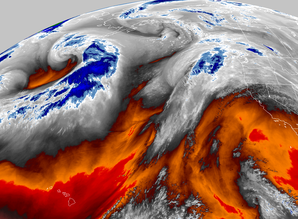 GOES 18 Water Vapor Imagery
 Mountain Pass Forecasts