
Multitude of significant hazards are in the forecast this week across the country. Severe thunderstorms are expected for the eastern third of the country through mid-week. Record warmth expected across the Deep South and Southeast. Excessive rainfall potential increases for the Ohio and Mississippi Valley. Winter storm for the Sierra Nevada and Intermountain West, spreading to Northern Plains. Read More >
Last Map Update: Mon, Mar 31, 2025 at 7:08:26 am PDT

|
Text Product Selector (Selected product opens in current window)
|
|


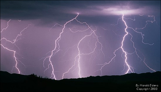 Lightning Climatology
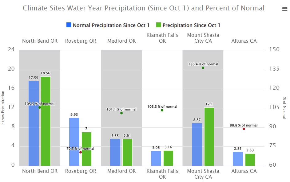 Precipitation Tracker
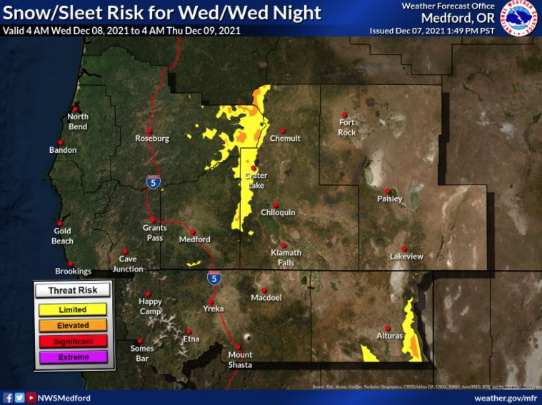 Graphical Hazards Outlook
 RADAR and Satellite
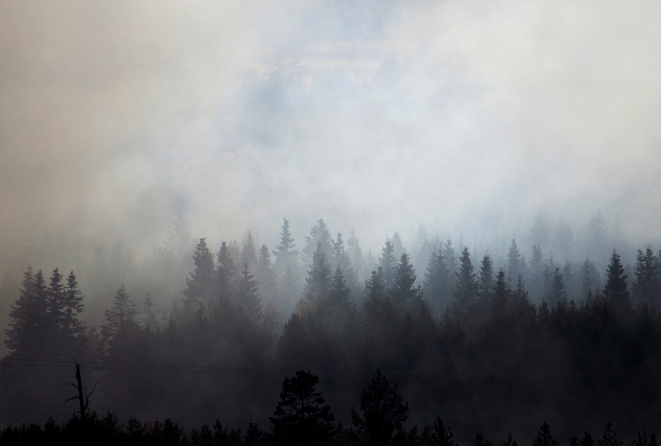 Smoke and Wildfire Safety
 Forecast Discussion
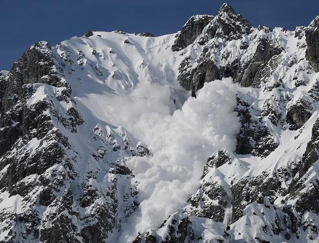 Avalanche Guidance
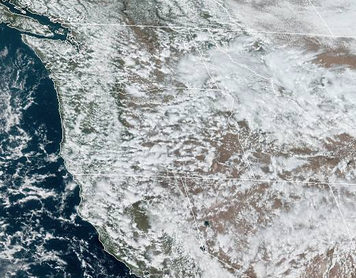 NESDIS Geocolor
 Weather Map
 Forecast Weather Tables
 Climate Graphs
 Marine
 Fire Weather
 Crater Chronicle and Monthly Climate Summaries
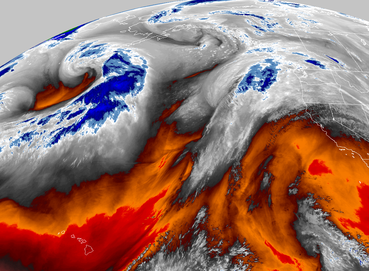 GOES 18 Water Vapor Imagery
 Mountain Pass Forecasts