
A Pacific storm will bring rain and high elevation snow from the Pacific Northwest into the Northern Rockies. A series of storms are expected to move through the Bering Sea bringing strong winds, heavy precipitation, and elevated water levels from the West Coast to northern Alaska. Read More >
Middle Atlantic RFC
River Forecast Center

Past Precipitation |
Water Story |
Future Precipitation |
 |
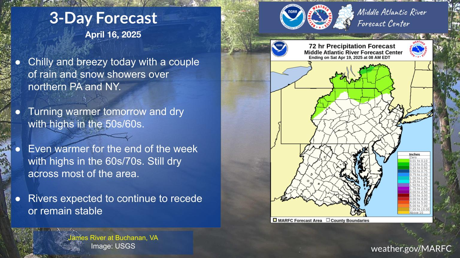 |
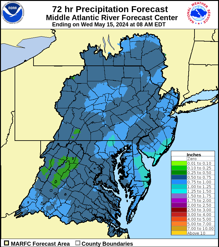 |

US Dept of Commerce
National Oceanic and Atmospheric Administration
National Weather Service
Middle Atlantic RFC
328 Innovation Boulevard
Suite 330
State College, PA 16803
814-954-6408
Comments? Questions? Please Contact Us.


 Follow us on X
 Follow us on Facebook
 Follow us on YouTube
 MARFC RSS Feed
