|
A cool and damp Columbus Day Weekend |
|||||
 |
|||||
| Lubbock WSR-88D radar animation valid from 11:39 am to 2:09 pm on 7 October 2022. | |||||
|
After a warm and mostly dry stretch through much of September and early October, the Columbus Day weekend brought significant changes. A return of moisture and clouds, along with northerly winds, provided much cooler temperatures and periodic rounds of rains for West Texas. |
|||||
 |
|||||
|
|||||
|
The clouds and rain were further spurred on by a slow-moving upper level disturbance that gradually approached via the Desert Southwest. This system pulled plenty of mid-high level moisture off of the Pacific Ocean and up and over the cooler air that became entrenched over the South Plains region. |
|||||
 |
|||||
|
|||||
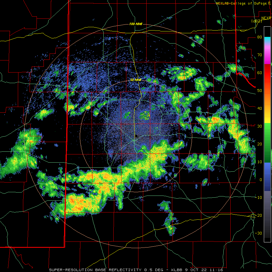
| The southwestern South Plains experience a nice round of rain as early as October 5th, but the more widespread precipitation didn't unfold until the 7th, while additional rounds of rain and occasionally an embedded rumble of thunder visited the region on the 8th, 9th and 10th. | |||||
 |
|||||
| Highs observed on Saturday, 8 October 2022. The data are courtesy of the West Texas Mesonet (WTM) and the COOP observers for the National Weather Service (NWS). Highs recorded on Thursday, 6 October 2022, can be VIEWED HERE. | |||||
| The heaviest rain on October 7th, 8th and 9th was mostly confined to the western and southern South Plains, with lighter totals generally found the further to the northeast from there. | |||||
 |
|||||
| Lubbock WSR-88D radar animation valid from 6:44 am to 9:30 am on 10 October 2022. An additional radar animation, valid from 6:16 am to 9:14 am on the 9th can be VIEWED HERE. | |||||
| Then, on October 10th (Monday), as the main upper level disturbance drew closer, the area of moderate to heavy rain developed further east, falling on parts of the central and eastern South Plains into the southern Rolling Plains. The rain quickly came to an end Monday night and skies cleared Tuesday morning as the mid-level wave shifted to our east. | |||||
 |
|||||
| 7-day radar-estimated and bias-corrected rainfall (inches) end at 7 am on Wednesday morning (12 October 2022). | |||||
| Over the course of the cool and damp Columbus Day Weekend, most of the region recorded 0.5 to 1.0+ inches of rainfall, with pockets of 2 to 3+ inches. The heaviest rain favored the southwestern South Plains, including much of Yoakum County, though other small pockets of heavy rain were observed through the central and northern South Plains. Officially, the Lubbock Airport recorded 0.95 inches from the 7th through the 10th, boosting the annual total to 12.75 inches. This mark is 3.07 inches below the average year-to-date total. Even so, the recent rain, along with the wet end to August and start to September, has helped to mitigate the ongoing drought. | |||||

