| Widespread rain falls on the central and southern South & Rolling Plains 3-4 March 2020 |
|||
 |
|||
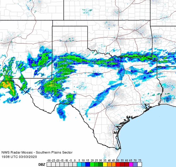
| Regional radar animation valid from 1:38 pm to 2:48 pm on 3 March 2020. Additional regional radar animations can be viewed at: 5:48 am to 6:58 am on 3 March 2020; and 9:58 am to 11:08 am on 3 March 2020. | |||
|
A potent upper level low approaching via the Gulf of California transported deep moisture into the region in early March 2020. Widespread light rain initially developed well ahead of the system across Far West Texas early on the 3rd (Tuesday). This precipitation expanded northeastward through the day on Tuesday, affecting the central and southern South Plains by mid-late afternoon. |
|||
 |
|||
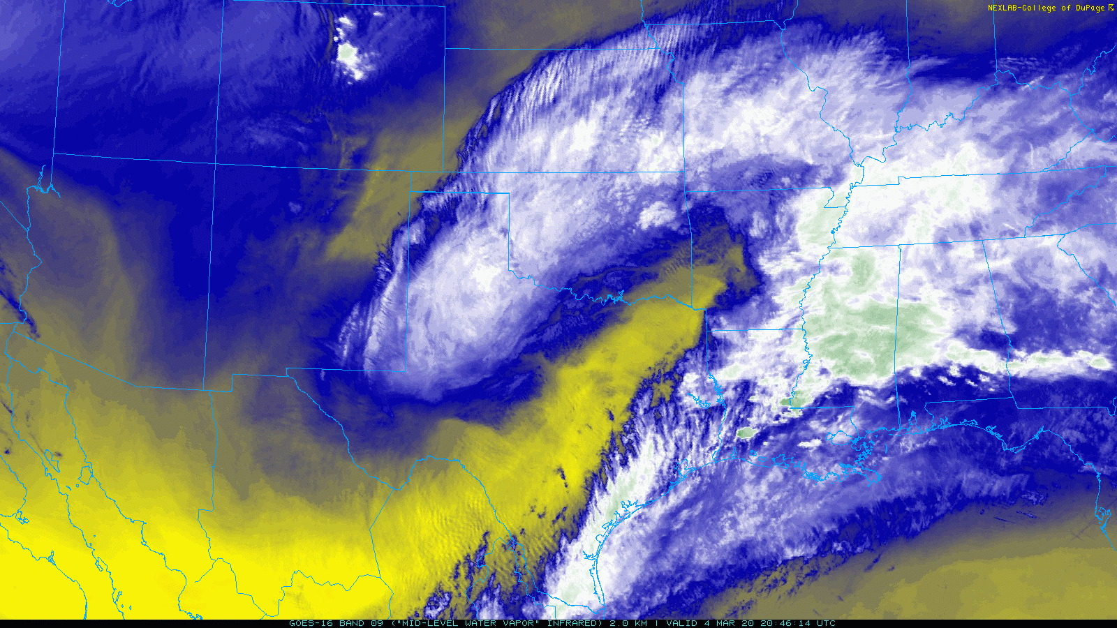
| Water vapor satellite image captured at 2:21 pm on 4 March 2020. | |||
| The precipitation increased in intensity and coverage through Tuesday night and into Wednesday morning as the center of the upper level storm system moved across the Big Bend. The rainfall curled north and northwest of the center, and persisted across the much of the southern South Plains and Rolling Plains, as well as southeast New Mexico and the Permian Basin, through much of the day Wednesday (4 March). | |||
 |
|||
| Regional radar animation valid from 10:48 am to 11:58 am on 4 March 2020. Additional regional radar animations can be viewed at: 6:18 am to 7:28 am on 4 March 2020; and 1:18 pm to 2:28 pm on 4 March 2020. | |||
|
|
|||
| The precipitation finally diminished Wednesday evening, as the system weakened and shifted off to the east, but not before dropping widespread significant rainfall. Unfortunately, the southern track of the system and dry air to the north did result in a sharp cutoff in the rainfall across the northern South Plains, with little to no rain falling across the Texas Panhandle. | |||
 |
|||
| 48-hour radar-estimated and bias-correct rain (inches) ending at 1 pm on 4 March 2020. A regional view for this same period can be ACCESSED HERE. A plot of West Texas Mesonet rain totals ending at 2:40 pm on 4 March 2020 can be FOUND HERE. | |||
| Rain totals were robust south of the Texas Panhandle, especially across the southern South Plains and southern Rolling Plains, where totals near and above an inch were common. The heaviest rainfall, from 2 to over 3 inches, fell in a swath from near Hobbs through Midland and San Angelo. Officially, Lubbock recorded 0.51 inches of rainfall at the airport on the north side of town, though totals closer to 3/4 of an inch were common further south, through much of the city. | |||

