
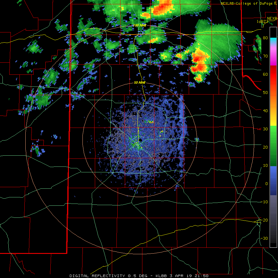
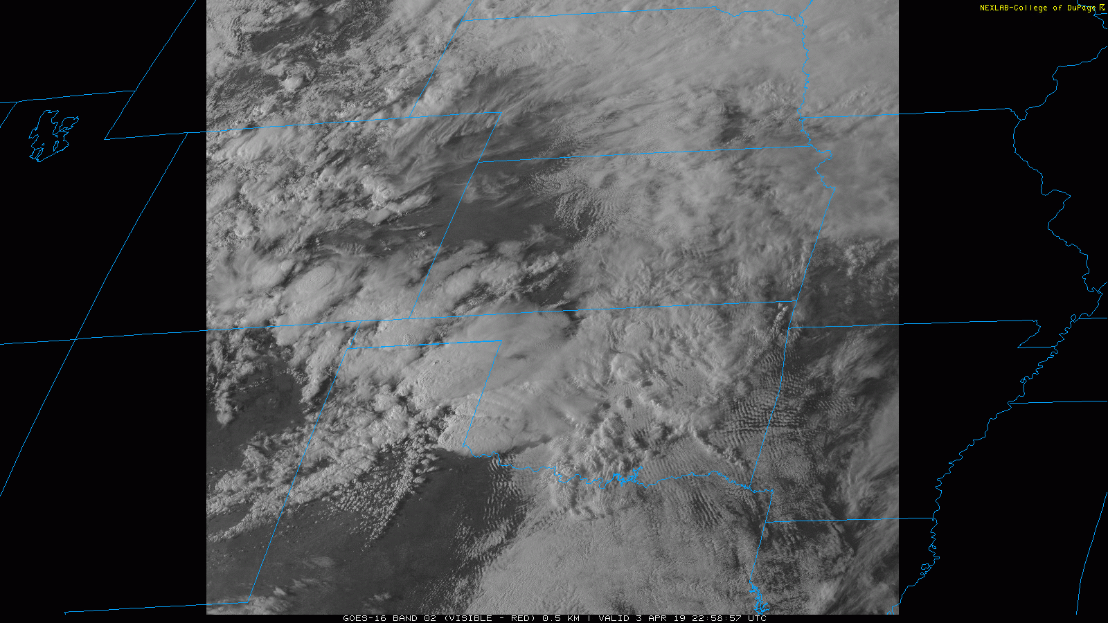
Scattered thunderstorms developed along and east of a dryline in the Texas Panhandle late Wednesday afternoon into the evening (3 April). A few of these thunderstorms became severe, including one long-lived supercell storm that tracked over northern Hall and Childress Counties before moving into southwest Oklahoma. This storm produced large hail and brief heavy rainfall as it moved from west-to-east across the southeast Texas Panhandle.
Golf ball size hail was common with the rotating storm as it passed near Lakeview, Memphis and north of Childress. One report of hail as large as 2 inches in diameter was received north of Childress near the intersection of Highways 62 and 83. The storm also occasionally produced a wall cloud.
A couple of pictures of the large hail that fell over the southeast Texas Panhandle are shown below. The large hail did cause damage, including cracking the window of storm chasers attempting to track the storm.
 |
 |
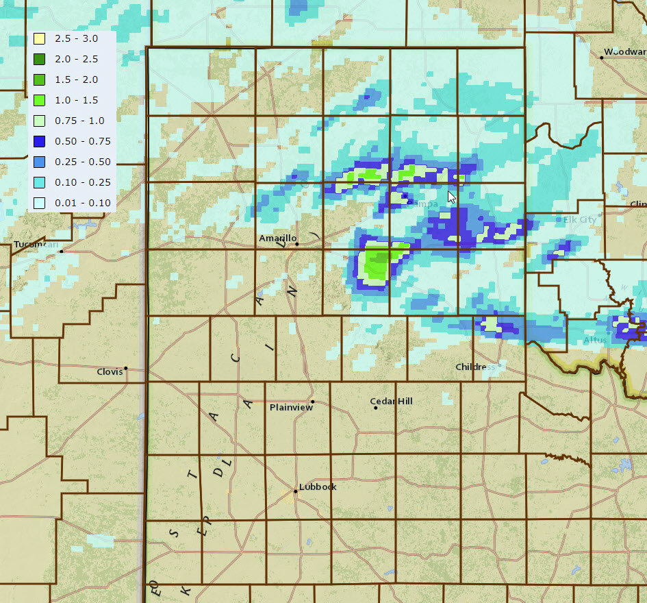
In addition to the large hail, the thunderstorms did drop swaths of moderate to heavy rainfall. The most widespread and heavy rainfall was in the east-central Texas Panhandle, though the northern portions of Hall and Childress Counties likely received anywhere from a quarter inch to over an inch of rain.
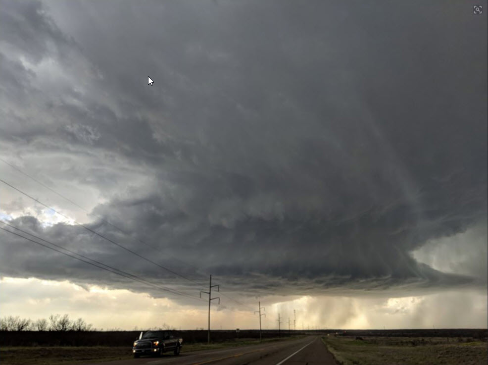
Below is another impressive view of the supercell storm as it tracked over northern Childress County Wednesday evening.
A list of the preliminary storm reports for Wednesday evening (3 April) can be viewed below.
PRELIMINARY LOCAL STORM REPORT...SUMMARY
NATIONAL WEATHER SERVICE LUBBOCK TX
1154 PM CDT WED APR 03 2019

..TIME...   ...EVENT...      ...CITY LOCATION...     ...LAT.LON...
..DATE...   ....MAG....      ..COUNTY LOCATION..ST.. ...SOURCE....
            ..REMARKS..

0510 PM     HAIL             LAKEVIEW                34.67N 100.70W
04/03/2019  E1.00 INCH       HALL               TX   EMERGENCY MNGR

0512 PM     HAIL             3 E LAKEVIEW            34.67N 100.64W
04/03/2019  E1.00 INCH       HALL               TX   BROADCAST MEDIA

0518 PM     HAIL             3 E LAKEVIEW            34.67N 100.64W
04/03/2019  E1.75 INCH       HALL               TX   BROADCAST MEDIA

0523 PM     HAIL             ELI                     34.69N 100.63W
04/03/2019  E1.75 INCH       HALL               TX   FIRE DEPT/RESCUE

0534 PM     HAIL             MEMPHIS                 34.73N 100.54W
04/03/2019  E1.00 INCH       HALL               TX   EMERGENCY MNGR

0536 PM     HAIL             MEMPHIS                 34.73N 100.54W
04/03/2019  E1.75 INCH       HALL               TX   EMERGENCY MNGR

0553 PM     HAIL             10 E MEMPHIS            34.73N 100.37W
04/03/2019  E1.50 INCH       CHILDRESS          TX   STORM CHASER

0606 PM     HAIL             21 N CHILDRESS          34.73N 100.25W
04/03/2019  E2.00 INCH       CHILDRESS          TX   STORM CHASER

0614 PM     HAIL             9 ESE MEMPHIS           34.68N 100.39W
04/03/2019  E1.75 INCH       CHILDRESS          TX   STORM CHASER

0625 PM     HAIL             20 N CHILDRESS          34.71N 100.25W
04/03/2019  E1.75 INCH       CHILDRESS          TX   STORM CHASER

            CORRECTED FOR LOCATION

0630 PM     NON-TSTM WND GST 1 S PLAINVIEW           34.18N 101.71W
04/03/2019  M61 MPH          HALE               TX   MESONET

0635 PM     NON-TSTM WND GST 6 S OLTON               34.09N 102.12W
04/03/2019  M58 MPH          LAMB               TX   MESONET

