|
Northerly winds blow across the Plains |
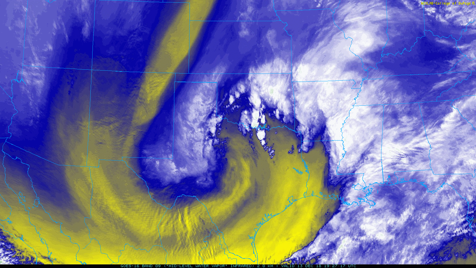 |
| Water vapor loop valid from 1:27 pm to 2:37 pm on 13 December 2018. |
|
A strong cold front plunged through northwest Texas early Thursday morning (13 December), concurrently with a passing upper level storm system. This system lacked the moisture that accompanied the snow storm which visited the region less than a week earlier. Even so, it did manage to squeeze out light rain over portions of the South Plains and Rolling Plains before tapping better moisture as it moved further eastward into the center part of the state. Temperatures dropped just enough to produce a pocket of heavy snow from near Sweetwater toward Abilene. |
 |
| Peak wind gusts (mph) measured across the South Plains region on 13 December 2018. The reports come from the West Texas Mesonet and the National Weather Service. |
|
However, north of the snow, the incessant northerly winds were the main story. Starting well before dawn, the winds continued unabated through the day Thursday, peaking during the morning and early afternoon. Wind gusts of 50 to 60 mph were common, with widespread sustained winds in excess of 40 mph. The wind did kick up dust too, though in general, the visibility didn't drop too low. A peak wind gust of 66 mph was measured at Caprock Canyons State Park at 2:02 pm. Lubbock officially measured a peak gust of 58 mph. |
 |
| A plot of the peak wind gusts (mph) measured across the South Plains region on 13 December 2018, courtesy of the West Texas Mesonet. |
|
The winds finally decreased during the evening, though breezy conditions persisted overnight and through much of Friday before finally diminishing. |
 |
| Regional radar animation valid from 12:58 pm to 2:08 pm on 13 December 2018. |
| When the powerful storm system encountered somewhat improved moisture, it did manage to produce widespread precipitation, a cold rain and even some snow, into the Big Country and Concho Valley. Much further east the system even produced a few strong to severe thunderstorms in the Arklatex region. |
 |
| Rainfall measured by the West Texas Mesonet on 13 December 2018. |
| Precipitation totals were relatively light, from a few hundredths to a couple tenths on an inch over the central and southern South Plains. Higher totals were founds further south into parts of the Permian Basin into the southern Rolling Plains. |

