| Unsettled Stretch of Weather Brings Widespread Rain 29 June through 2 July 2018 |
 |
| Downburst hitting the ground just east of Lubbock on the evening of Friday, 29 June 2018. |
| Late June and early July 2018 provided an active stretch of weather for West Texas. The action kicked off on Friday, June 29th, when a fetch of moisture off the eastern Pacific, combined with strong daytime heating, fueled several clusters of thunderstorms that tracked northeastward across much of West Texas during the evening and overnight hours. A couple of these storms produced severe wind gusts, including a gust to 63 mph at the White River Lake West Texas Mesonet (WTM) and a 74 mph gust at the Lake Alan Henry WTM. Thankfully, the severe gusts were limited, but many locations did receive at least a little rainfall. |
 |
| Regional radar animation valid from 8:28 pm to 9:38 pm on 29 June 2018. |
| Shower and thunderstorm coverage was more limited the next day, June 30th, but a few spots did get meaningful rainfall. The regional radar valid from 8:28 pm to 9:38 pm on the 30th can be VIEWED HERE. A weak cold front then moved into the region on the first day of July. Although this front provided very little cooling, it did help spark late day thunderstorm development. Storms initially developed over the western South Plains and southeast New Mexico, but then expanded eastward on outflows through the late evening hours. |
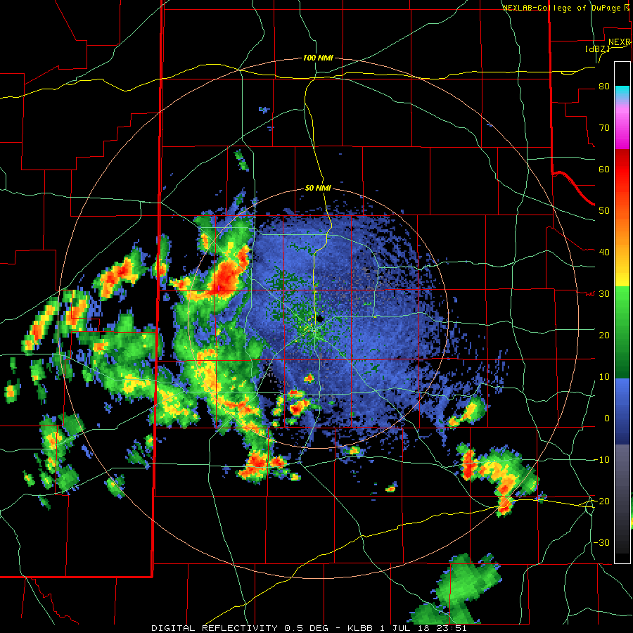 |
| Lubbock WSR-88D animation valid from 6:51 pm to 9:03 pm on 1 July 2018. |
| The activity faded shortly after midnight, but more isolated showers and thunderstorms then redeveloped toward dawn across the central and southern South Plains and persisted through much of the morning before lifting northward and fading. |
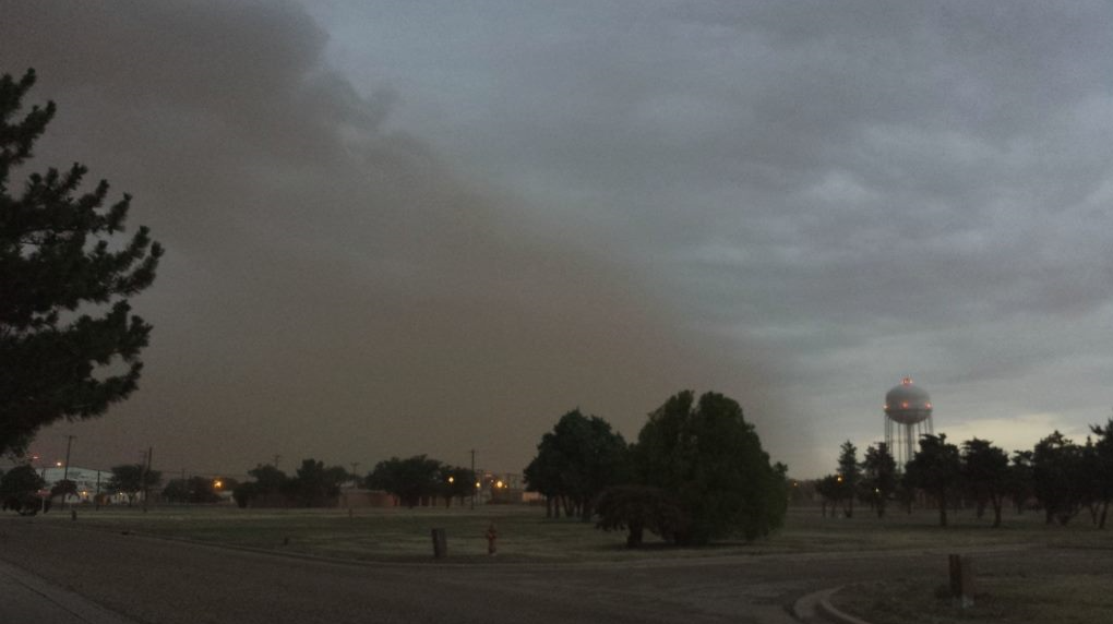 |
| Shelf cloud and dust approaching Reese Center just before sunset on 2 July 2018. The picture is courtesy of Wes Burgett. |
| However, additional thunderstorm development occurred in eastern New Mexico, with more isolated activity in the southern South Plains as well as the Rolling Plains. The storms in New Mexico then formed into a broken line and propagated eastward into the central South Plains before diminish shortly after midnight early on July 3rd. |
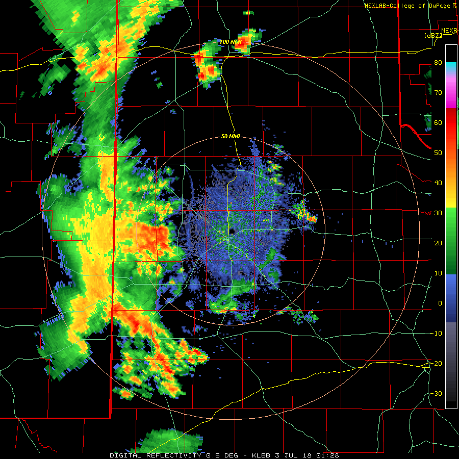 |
| Lubbock WSR-88D animation valid from 8:28 pm to 10:07 pm on 2 July 2018. |
| Over the course of the four day stretch, most of the South Plains region and West Texas recorded at least a little rainfall, with pockets of significant rain. A good portion of the southeast South Plains as well as the western South Plains saw upwards of an inch or more, with a few pockets of 2+ inches. |
 |
| 5-day radar-estimated and bias-corrected rainfall for the South Plains region, ending at 5 am on 3 July 2018. A regional view of this graphic can be FOUND HERE. In addition, a plot of the 5-day rainfall totals recorded by the West Texas Mesonet can be VIEWED HERE. |
| Officially Lubbock record 0.53" over the 4-day stretch, while Childress received 0.57". Although by no means a drought busting rain, the widespread precipitation did put welcome moisture in the soil in spots. |

