| Widespread Rain Falls on the Caprock 16-17 June 2018 |
 |
| Wall of wind and dust (haboob) approaching Shallowater on Saturday evening. The picture is courtesy of Bruce Haynie. |
| Deep southerly flow carried bountiful amounts of moisture into West Texas. This moisture was partially supplemented by the remnants of eastern Pacific Hurricane Bud. Strong daytime heating fostered the development of showers and thunderstorms Saturday afternoon (16 June). The initial development was across the higher terrain of eastern New Mexico. This activity moved eastward into the South Plains while additional scattered thunderstorms formed in advance of the approaching line. |
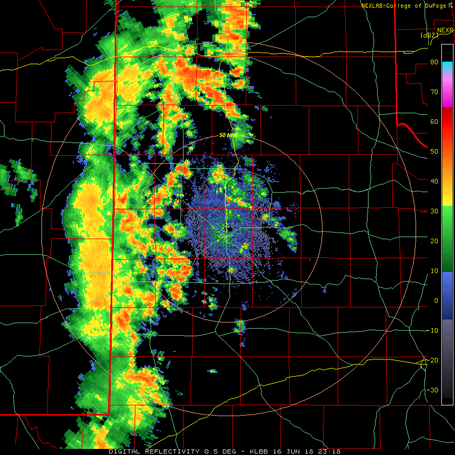 |
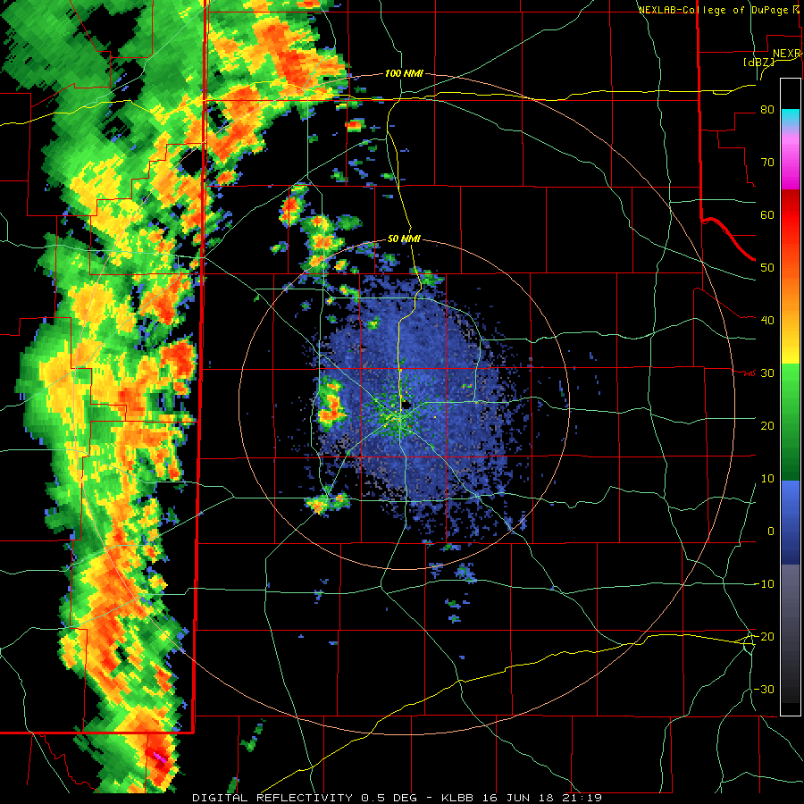
| Lubbock WSR-88D animation valid from 6:18 pm to 7:56 pm on 17 June 2018. An additional animation valid from 4:19 pm to 5 pm can be VIEWED HERE. |
| In addition to dropping very heavy rain, a few of the thunderstorms generated strong to briefly severe wind gusts. The strong winds kicked up plenty of blowing dust on its leading edge as it moved across the South Plains (see the top image on this page). The most intense winds, measured in excess of 60 mph near Levelland and Earth, did cause localized damage. Specifically, a metal roof was removed from a building in Levelland (seen below) as the intense winds moved through Saturday evening. |
 |
| Roof damage that occurred near 13th and Ave H in Levelland on the evening of 16 June 2018. The picture is courtesy of Jeff Pharis. Additional photos from this area can be found: HERE and HERE. |
| The more widespread story was the beneficial rains that fell across much of the Caprock. After the initial rounds of rain Saturday evening, additional areas of rain continued to move northward out of the Permian Basin and across much of the South Plains through early Sunday morning before largely diminishing. |
 |
| Regional radar animation valid from 5:38 am to 6:48 am on 17 June 2018. |
| Rain totals of 1/4" to 3/4" were fairly common over much of the South Plains and southwest and south-central Texas Panhandle. Localized higher totals in excess of an inch did fall from near Happy northward into Amarillo as well as from around O'Donnell southward. Officially the Lubbock Airport recorded 0.52 inches. Unfortunately, the far southeast Texas Panhandle and much of the Rolling Plains largely missed out on the rain. |
 |
| 24-hour radar-estimated and bias-corrected rain totals ending at 7 am on 17 June 2018. Also plotted are recorded totals from the West Texas Mesonet (WTM), COOP observers and NWS sites. A plot of all of the 24-hour WTM totals can be VIEWED HERE. |
| The preliminary storm reports for this event can be FOUND HERE. |

