 |
 |
| Thunderstorm near Olton, as viewed from Lubbock, at 4:50 pm on Monday evening (3 November 2014). |
| As has already happened several times this fall, an approaching upper level storm system was able to take advantage of a moisture tap off an eastern Pacific hurricane. This time around Hurricane Vance, centered off the tip of Baja California, provided the tropical moisture, with additional low-level moisture streaming northward off the Gulf. This moisture was all that was needed for an approaching upper level trough from the west and a cold front sinking southward through the southern High Plains to produce widespread showers and embedded thunderstorms Monday evening into Tuesday (3-4 November). Initially, widely scattered showers and thunderstorms develop Monday afternoon. A couple of these thunderstorms became strong and produced pockets of small hail, gusty winds and brief very heavy rain. The West Texas Mesonet (WTM) site located 6 miles south of Olton recorded a 48 mph wind gust as the storm pictured above moved through. The same storm also dropped 0.34 inches of rain at the Amherst WTM site in one five minute period, though the quick storm motion limited the overall rain totals with this early activity. |
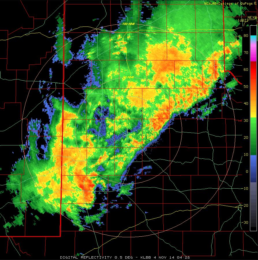 |
| Radar image from Monday night, November 3rd, 2014. |
| The showers and thunderstorms quickly blossomed into a large area from eastern New Mexico into the South Plains and southern Texas Panhandle Monday evening and then advanced eastward into the Rolling Plains through the overnight hours. Widespread light to moderate rain blanketed the region, with brief periods of heavy rain with the strongest activity. A cold front then moved southward through the South Plains in the predawn hours of Tuesday, providing another focus for rainfall. |
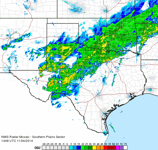 |
| Radar animation valid from 8:48 am to 9:58 am on Tuesday, November 4th, 2014. |
|
Periodic light to moderate rain than persisted over a good portion of the region Tuesday morning before gradually diminishing from northwest to southeast Tuesday afternoon. By the time all was said and done, most of the South Plains, Rolling Plains and southeast Texas Panhandle received 1-2 inches of rain, with a few spots recording 2+ inches. The Lubbock Airport officially recorded 2.89 inches for the event, including 2.01 inches on November 4th. The 2.01 inches set a single day rainfall record for the month, beating out the 1.59 inches that fell on November 15th of 2001. Additionally, the 2.89 inches of rain through the first four days of November already makes this the 3rd wettest November behind only 2001 (3.37 inches) and 2004 (6.65 inches). |
 |
| Total rainfall across the area as measured by stations of the West Texas Mesonet and NWS. Click on the image for a larger version. |
|
In addition to the rain, the early Tuesday morning cold front brought an end to the mild start to November. Most locations recorded their high temperatures for November 4th in the predawn hours before the cold front moved through, with afternoon and evening temperatures holding relatively steady in the 40s, making for a cool and raw election day. |
|
|
|||
|
Toggle 48-hr Rainfall Totals (inches) ending at 7 pm Nov. 4, 2014
|
Toggle Temperature (F) at 750 pm on November 4th, 2014
|
||

