 |
||
 |
||
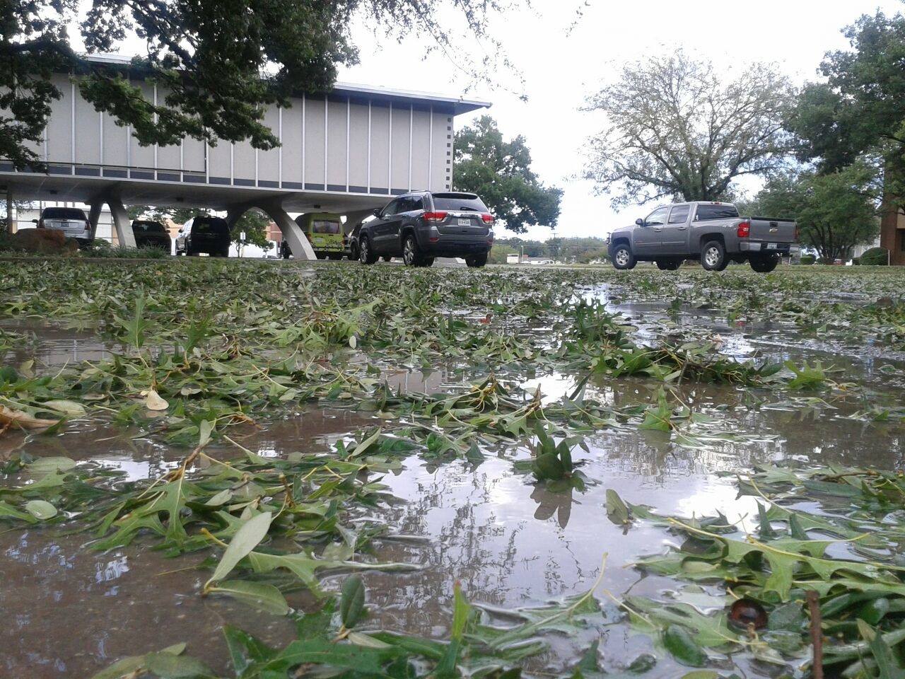
| Photo of leaves stripped from trees by large hail that fell at the Science Spectrum in south Lubbock Thursday afternoon. | ||
| Hot and relatively moist conditions provided the fuel for a well-timed passing upper level disturbance on Thursday, August 28th. The result was an explosion of thunderstorms during the afternoon hours across Texas Panhandle into the South Plains. The most intense of the storms dropped large hail, produced damaging wind gusts and frequent lightning while also dumping torrential downpours. One such storm developed directly over Lubbock. The heaviest rains fell squarely over the city and caused street flooding, while the strongest winds and largest hail (measured up to 1.25 inch in diameter) fell across the south side of the city. The wind and hail shredded trees and caused some minor damage around town. | ||
 |
||
| Heavy rain and hail falling on the south side of Lubbock shortly after 5 pm on 28 August 2014. | ||
| The radar animation below shows how the thunderstorm activity evolved Thursday afternoon (28 August). Additional strong to severe thunderstorms affected portions of the southeast Texas Panhandle into the Rolling Plains into the evening hours. | ||
 |
||
| Radar animation valid from 3:18 to 5:26 pm on 28 August 2014. | ||
| Several places experienced severe downburst winds clocked around 60 mph including near Ralls, Northfield, Childress and White River Lake. The strong winds knocked down multiple trees in Matador, and cut power to parts of Lubbock. In addition, pea to marble size hail was common with the stronger storms while a few places saw slightly larger hail. | ||
 |
 |
|
| (left) Thunderstorms developing to the east of Anton Thursday afternoon. (right) Hail that fell near 74th and Indiana in Lubbock. Pictures are courtesy of KCBD. | ||
| The storms eventually congealed into a complex as they moved eastward into the Rolling Plains Thursday evening, bringing widespread 1 to 2 inch rainfall amounts before shifting east of the area by early Friday morning. | ||
 |
||
|
Regional radar animation from 6:08 to 7:18 pm on 28 August 2014. |
||
|
Although the thunderstorms did produce pockets of severe weather, they also brought beneficial rains to portions of the South Plains and most of the southeast Texas Panhandle and Rolling Plains. The below map shows the preliminary storm reports gathered from around the area as well as the 24-hour rainfall totals, as recorded by the West Texas Mesonet, for the late August event. A listing of the preliminary storm reports can be FOUND HERE. |
||
|
|
||
|
Toggle the storm reports for Aug 28th, 2014
|
Toggle the 24-hr West Texas Mesonet rainfall totals for Aug 28th, 2014
|
|

