|
Large Hail and Landspouts: Far southeast TX Panhandle |
|
 |
|
| Photographs of two separate landspout tornadoes on the afternoon of May 29, 2013. The landspout on the left occurred near Valley Schools in far southeast Briscoe County and caused minor damage to a barn. The photo on the right is of the second landspout as viewed from Quitaque looking east. This latter tornado occurred over open land about one mile south of Turkey. | |
|
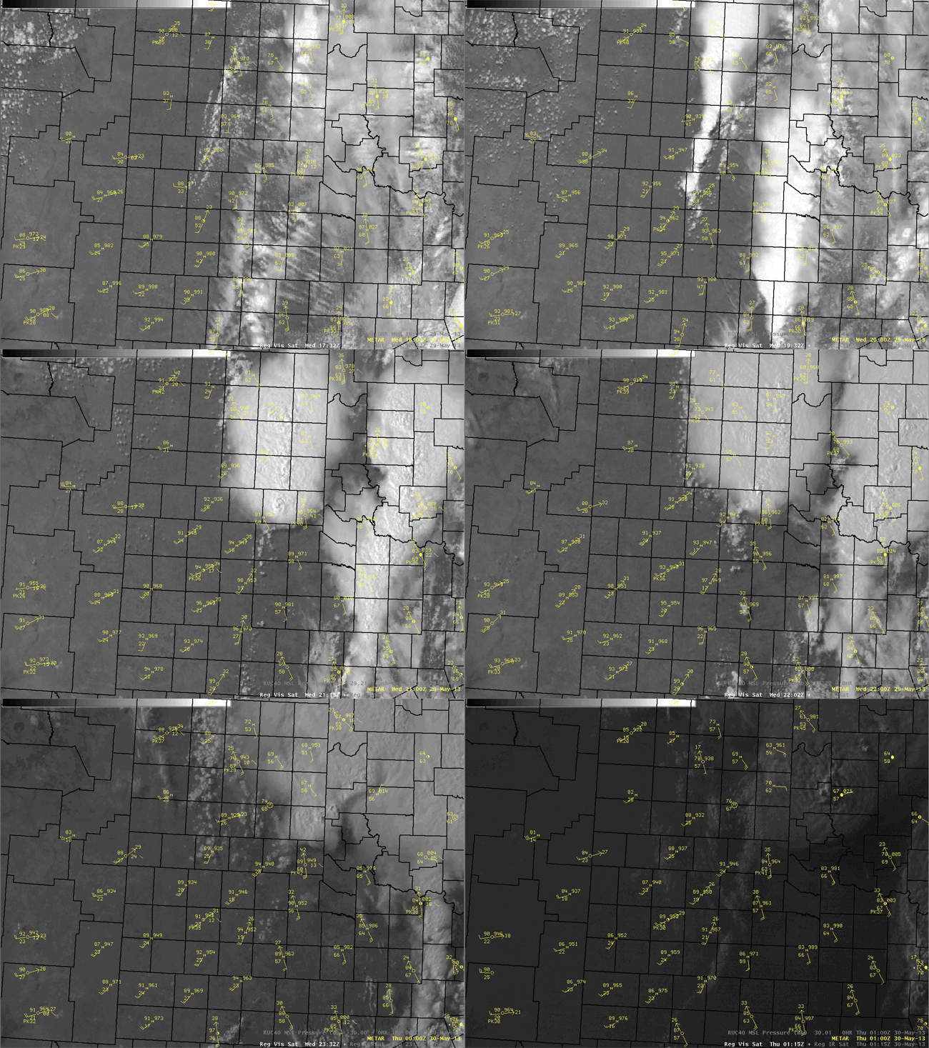
An already active week of severe weather over parts of the Texas South Plains culminated on the afternoon of May 29th as a vigorous upper level trough moved over the Texas Panhandle. By early this afternoon, a sharp surface dryline provided the focus for thunderstorm development in the central Texas Panhandle. With time, these storms developed southward along the dryline into portions of Briscoe and Floyd Counties where they soon reached severe levels with large hail between quarter and golf ball size. As one of these storms moved off the Caprock and encountered richer moisture, it intensified further and produced at least two landspout tornadoes. The first landspout developed near Valley Schools around 3:30 pm CDT in far southeast Briscoe County and caused EF-0 damage to a barn. The second landpsout occurred over open land roughly one mile south of Turkey a short while later. Later on, very large hail up to 2.25 inches in diameter was reported near Memphis before these storms exited into Oklahoma shortly after 6 pm. |
|
 |
|
| Visible satellite animation with surface weather observations spanning from 1232 pm to 815 pm. | |
|
|
|
 |
|
| NWS Lubbock radar animation valid from 3 pm to 6 pm on 29 May 2013. | |
 |
|
| Picture of a severe thunderstorm near Memphis, TX. Photo courtesy of Kendall Stanaland. | |
| Preliminary storm reports for the 29th can be found HERE. A graphical display of these reports is available below. | |
|
|
|||
|
Toggle Preliminary Local Storm Reports for May 29, 2013
|
|||