 |
||||||
|
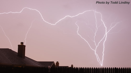
First Thunderstorms of 2009 |
||||||
 |
||||||
|
Map of rainfall totals collected across the area from stations of the West Texas Mesonet (www.mesonet.ttu.edu). Click on the image to view a larger version.
|
||||||
|
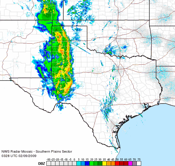
A line of showers and thunderstorms quickly developed across eastern New Mexico late Sunday afternoon. Early on, these storms produced some penny to quarter sized hail in eastern New Mexico in addition to brief heavy rains and strong winds. The squall line raced eastward into the South Plains and Texas Panhandle during the evening hours, and then through the Rolling Plains overnight. As the storms moved eastward, instability waned, and they no longer produced hail, but did continue to produce strong and occasionally severe wind gusts. Wind gusts between 60 and 70 mph were reported near Denver City, Friona, Anton and Olton. However, the main product from the thunderstorms was widespread moderated to briefly heavy rainfall. Most of the South Plains and Rolling Plains received a solid 0.30 inches of rain, with locations across the central and eastern South Plains and south-central Texas Panhandle generally getting 0.50-0.75 inches. The activity advanced into the Rolling Plains during the early morning hours of Monday (9 Feb), but the intensity decreased and lightning diminished before the whole system moved east of the area by 3 am.
|


