Lubbock, TX
Weather Forecast Office
Hail at the Lakes
26 April 2008

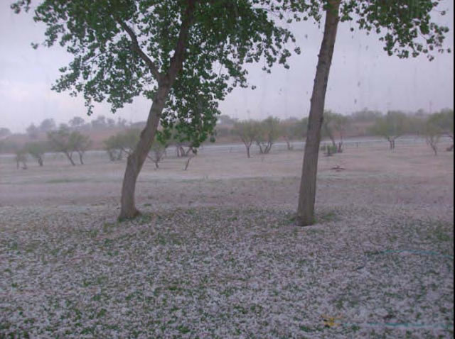
Image of hail that fell in White River Lake on 26 April 2008. Note the hail in the foreground and the lake in the background. Click on the image for a larger view. Picture courtesy of Tim Walker.
An approaching upper level disturbance, sufficient instability and moderate wind shear combined to produce a few severe thunderstorms across the Rolling Plains Saturday evening. Although moisture was rather sparse, a few of these storms still were able to produce some rather sizeable hail. In fact, both White River Lake and Lake Alan Henry saw some large hail during the evening.
Another view of the hail that fell in White River Lake on 26 April 2008. Click on the image for a larger view. Image courtesy of Tim Walker.
The showers and thunderstorms initially developed across the Texas Panhandle during the mid-afternoon hours. A few of the storms intensified further during the late afternoon and evening hours as they moved and developed southward into some slightly improved moisture. The strongest of the storms tracked across White River Lake around 7 pm, and produced hail up to the size of golf balls. This same storm moved east-southeast, eventually bringing penny size hail to Jayton around 8 pm.

A third view of the hail that fell in White River Lake on 26 April 2008. Click on the image for a larger view. Image courtesy of Tim Walker.
Later that same evening, another storm quickly developed and intensified just southeast of Post. This storm quickly began producing hail, with half-dollar size hail observed at Lake Alan Henry shortly before 9 pm. The severe storms moved south and east of the area by late evening, but a powerful cold front quickly invaded from the north. The front brought some much cooler air into the region on stout northerly winds sustained at 25 to 35 mph, with some gusts clocked over 50 mph.
US Dept of Commerce
National Oceanic and Atmospheric Administration
National Weather Service
Lubbock, TX
2579 S. Loop 289
Suite 100
Lubbock, TX 79423-1400
806-745-4260
Comments? Questions? Please Contact Us.

