Strong Outflow Winds and Blowing Dust Across the South Plains on June 22nd, 2006
 |
|
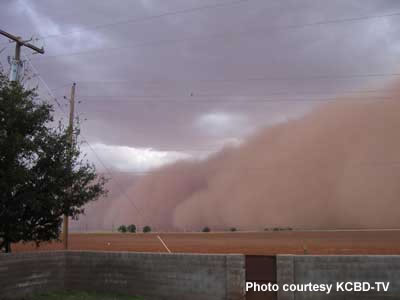
Photograph of the wall of dirt associated with the thunderstorm outflow. This picture was taken near the town of Lamesa, about 50 miles south of Lubbock. Photo courtesy KCBD Television. |
|
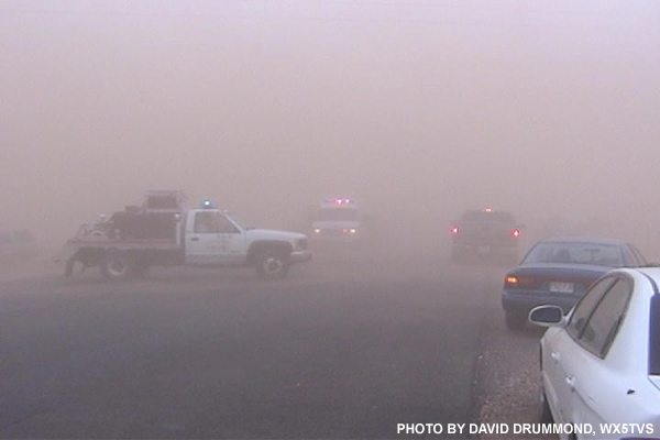
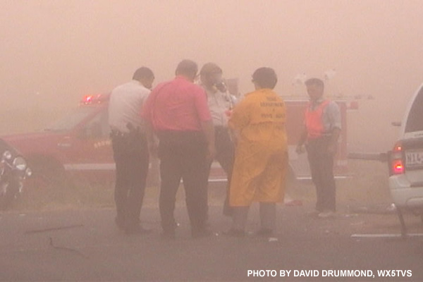
Thursday afternoon, a large outflow boundary moved southwest across the central and western portions of the South Plains and produced strong winds and areas of blowing dust. The blowing dust lowered visibilities to near zero along U.S. Highway 82 in northeast Terry County, and contributed to multiple car accidents, resulting in a fatality and several injuries. |
|
|
|
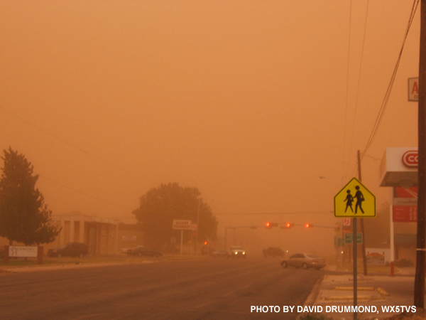
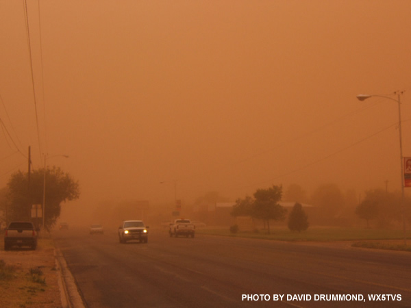
The pictures above show the reduced visibility in Brownfield when the outflow went through and also two scenes from the traffic accident on US 62/82. |
| Below is an image from the National Weather Service Doppler radar located at the Lubbock Airport. The image shows the leading edge of the thunderstorm outflow (labeled "haboob"). |
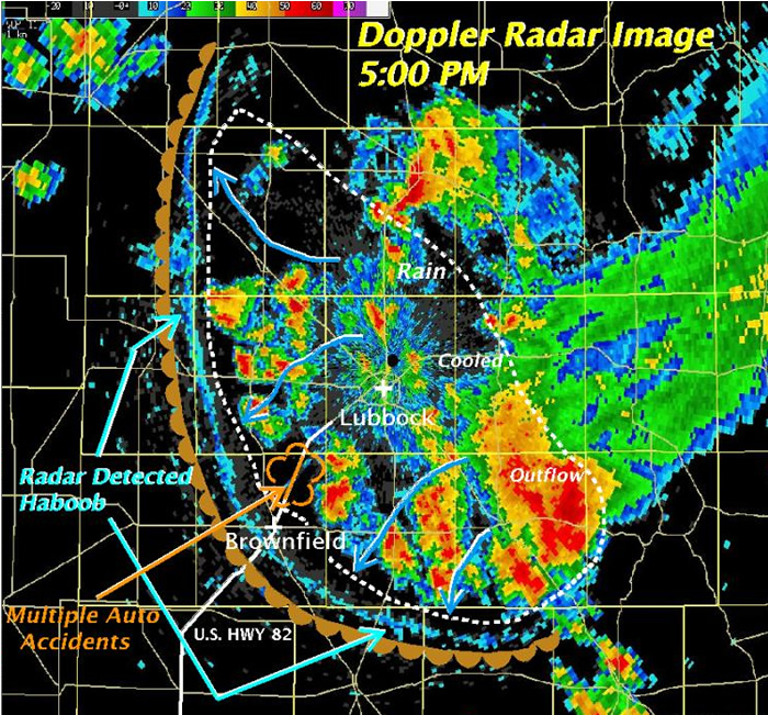 |
| Haboob comes from the Arabic word for wind and is used to describe sand and dust storms across the world. In addition to the accidents, this haboob uprooted trees, damaged roofs, and caused numerous power outages from downed power lines. Measured wind gusts were generally in the 50 to 70 mph range. |

