Overview
|
A bow echo developed across central Missouri and moved east across the St. Louis Metropolitan Area during the early afternoon of April 26th 2016, causing severe wind damage. The greatest and most widespread wind damage occurred from northwest of Marthasville (Warren County, MO) to northeast of Defiance (St. Charles County, MO) where thousands of trees were toppled by 80 mph winds. Two weak tornadoes were also surveyed from this storm system in Warren and St. Charles Counties.
Here is also a link to a printable pdf. for this event. |
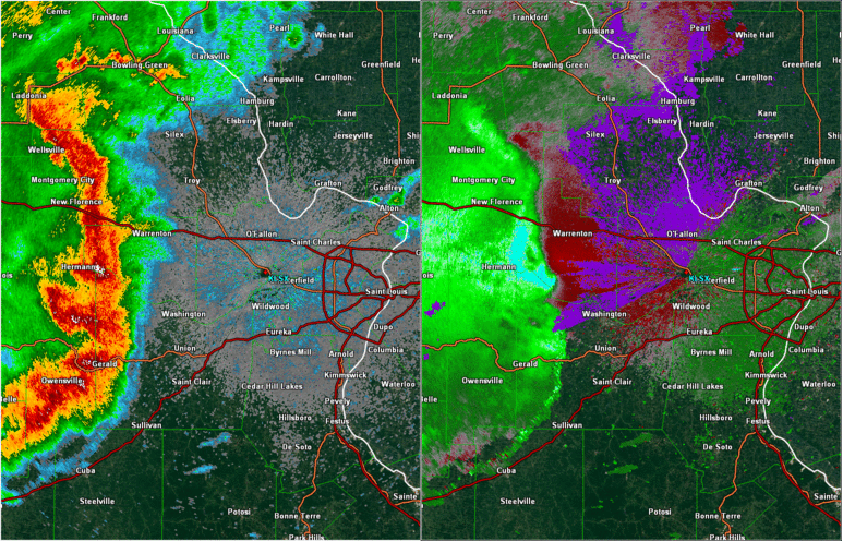 Radar Loop of Base Reflectivity and Velocity |
Damage Survey:
|
+Switch Basemap
|
||||||||||
|
||||||||||
|
Widespread Wind Damage
Track Map 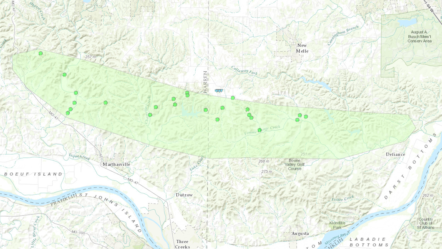 
|
||||||||||||||
|
Tornado - 4WSW New Melle
Track Map 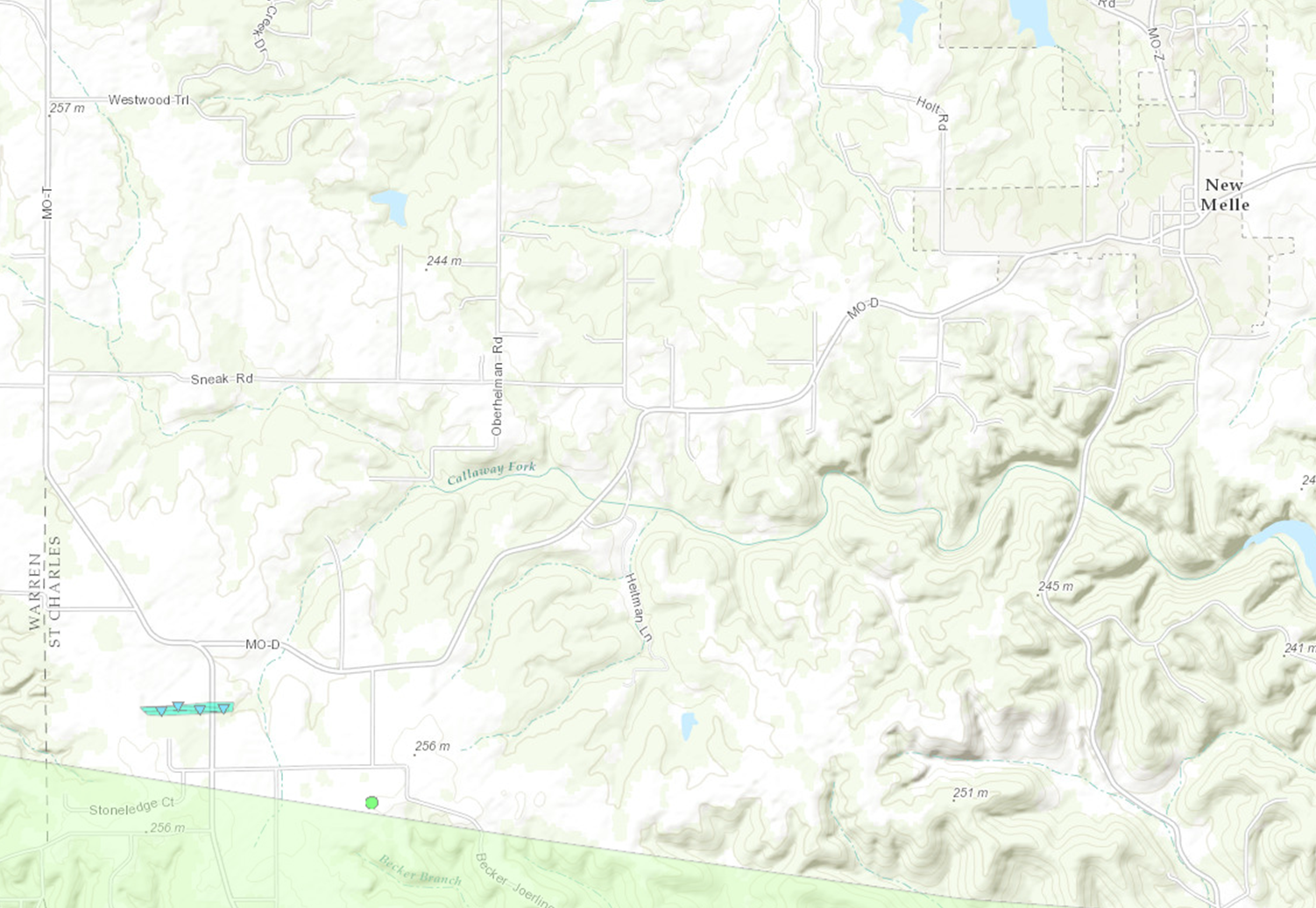
|
||||||||||||||||
|
Tornado - Pinckney
Track Map 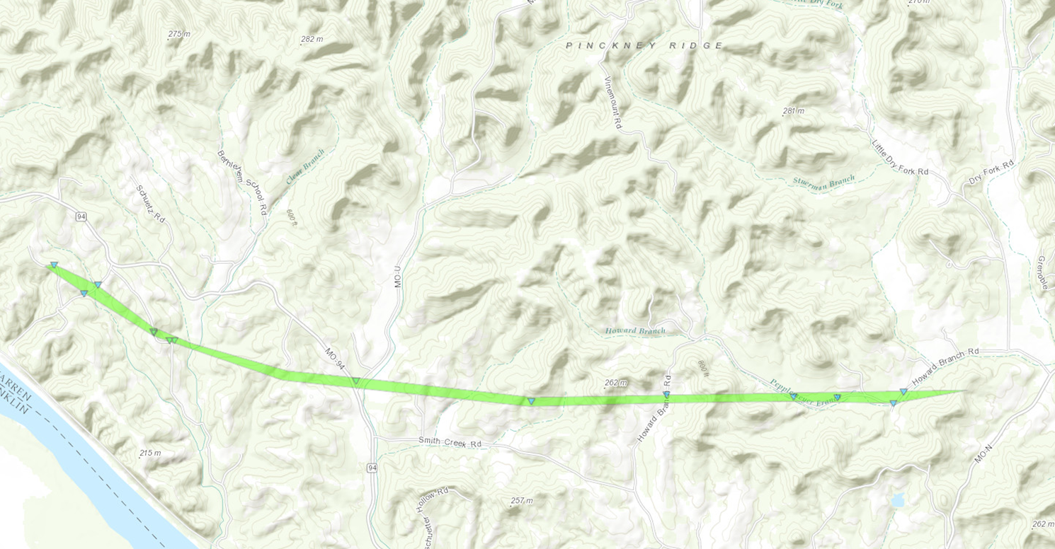
|
||||||||||||||||
The Enhanced Fujita (EF) Scale classifies tornadoes into the following categories:
| EF0 Weak 65-85 mph |
EF1 Moderate 86-110 mph |
EF2 Significant 111-135 mph |
EF3 Severe 136-165 mph |
EF4 Extreme 166-200 mph |
EF5 Catastrophic 200+ mph |
 |
|||||
 |
Media use of NWS Web News Stories is encouraged! Please acknowledge the NWS as the source of any news information accessed from this site. |
|


 Weather Map
 Local Radar