NWS All NOAA
Los Angeles, CA
Weather Forecast Office
Last Map Update: Sat, May 9, 2026 at 11:14:29 am PDT


 Hazards
 Observations
 Marine Weather
 Fire Weather
 Aviation Weather
 Hydrology
 Forecast Discussion
 Graphical Forecasts
 Climate Graphs
 Fast Page
 Mobile Devices
 Past Weather Data
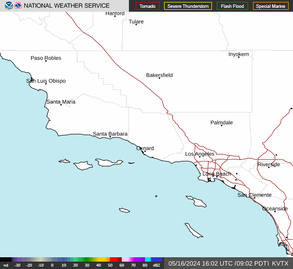 Southern CA Radar
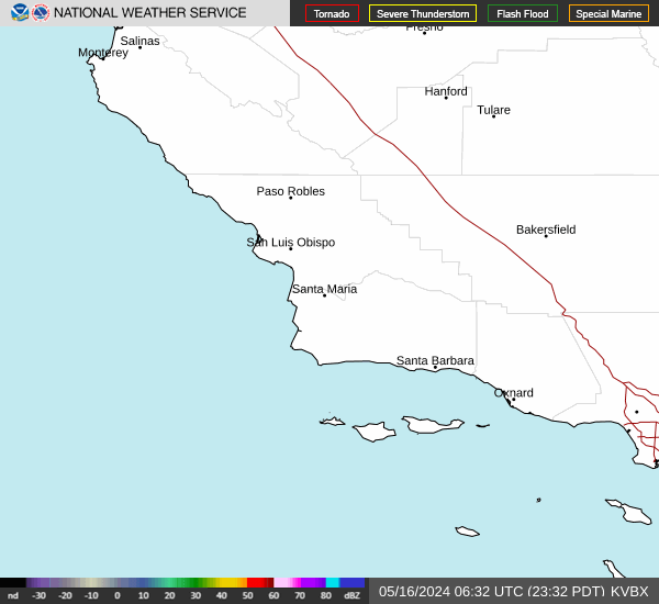 Southwest CA Radar
 Satellite
 Social Media OneStop
 Student Opportunities
 Weather Stats