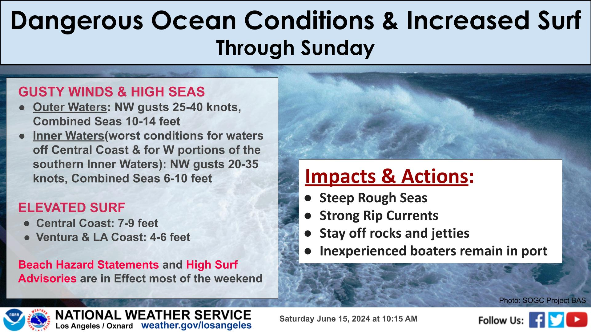
Persistent south swell from a series of tropical systems will bring larger surf and strong rip currents to much of the coastline through the week. Expecting surf to peak Thursday and Friday around 4-8 feet for south facing beaches of the Central Coast, Ventura, and Los Angeles Counties. Strong rip currents are also expected. Rock jetties will not be safe during these conditions, as large, powerful waves can inundate jetties quickly and without warning. Swimmers should first check with a lifeguard and follow their advice. If swimming is safe, remain closer to shore, and swim in groups and near a lifeguard.


 Hazards
 Observations
 Marine Weather
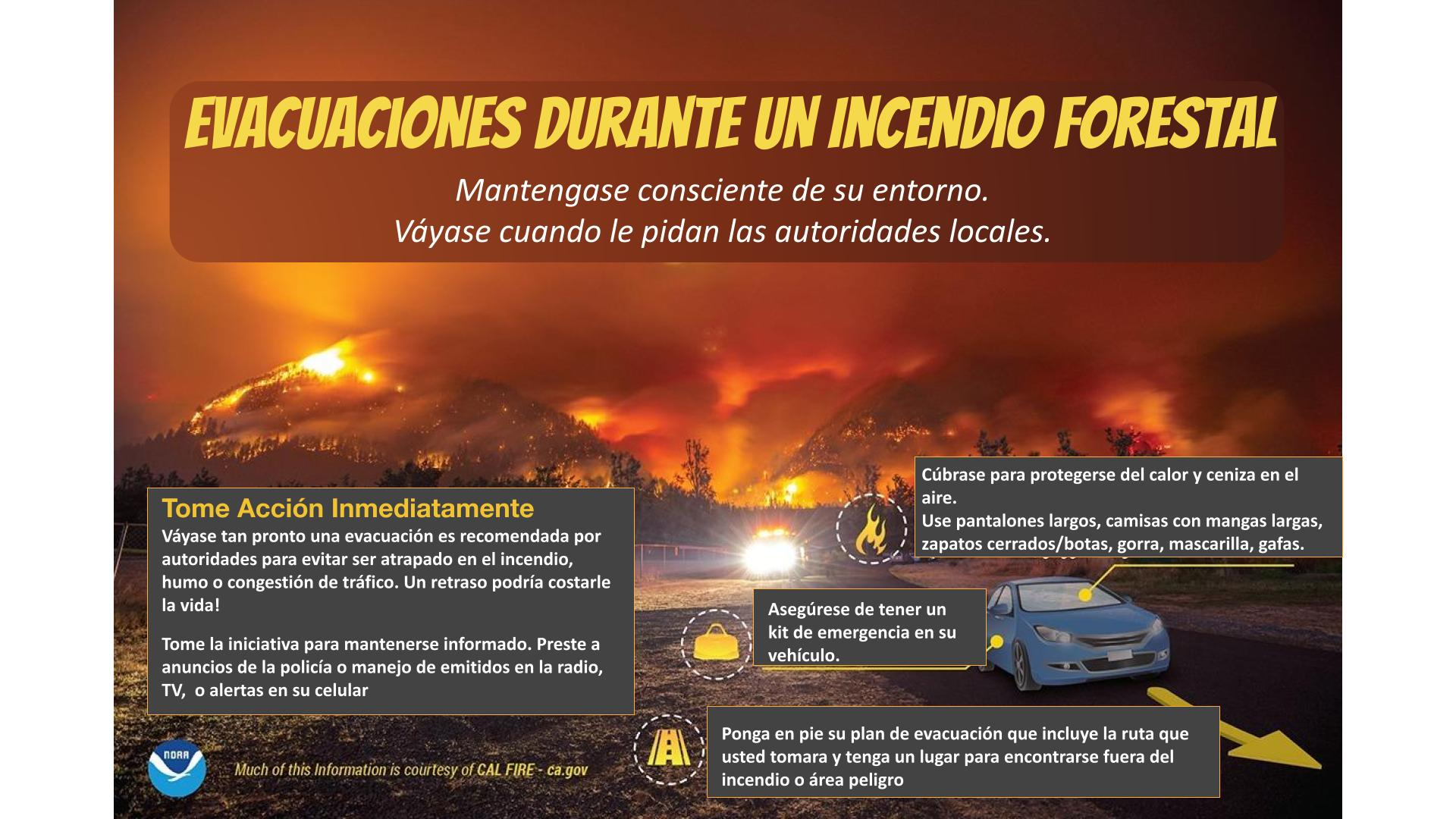
 Fire Weather
 Aviation Weather
 Hydrology
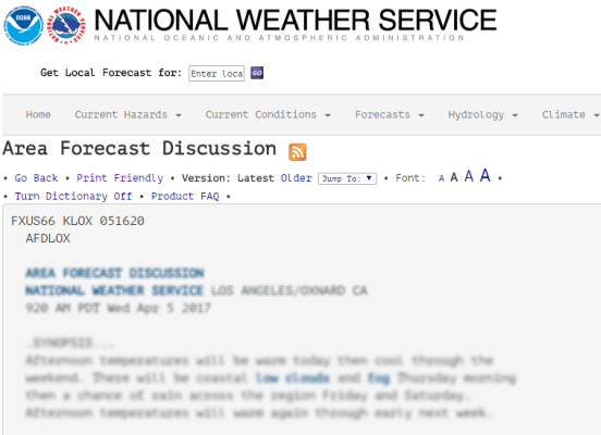 Forecast Discussion
 Graphical Forecasts
 Fast Page
 Weather Stats
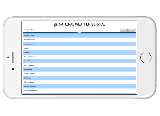 Mobile Devices
 Past Weather Data
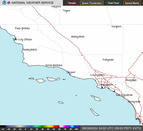 Southern CA Radar
 Southwest CA Radar
 Satellite
 Social Media OneStop
 Student Opportunities