
A Pacific storm and atmospheric river will impact the Pacific Northwest states and northern Rockies this weekend, bringing locally heavy low elevations rain and heavy high elevation snow in the mountains. By Sunday over the Interior Northwest, rain combined with snowmelt will increase the risk of flood hazards. Flood Watches are in effect. Read More >
Last Map Update: Sat, Feb 22, 2025 at 12:34:14 am PST

|
Text Product Selector (Selected product opens in current window)
|
|


 Social Media - Click to view more
 Elko Radar
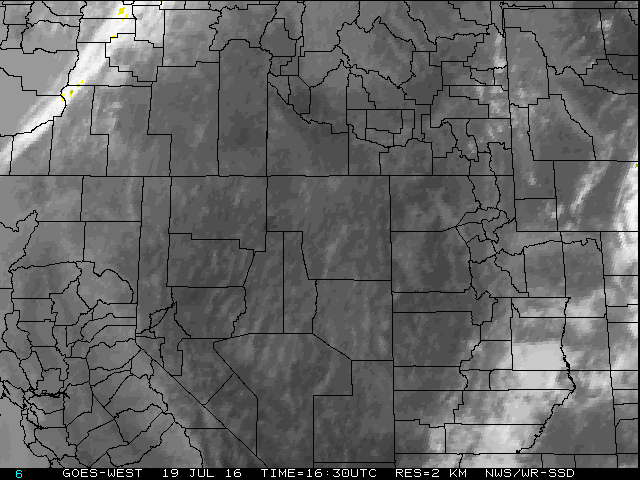 Regional Infrared Satellite Image
 National Weather Map - Click to enlarge
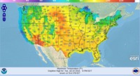 Gridded Forecast Image
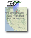 Forecast Weather Tables
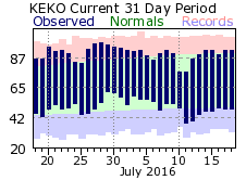 Recent LKN Temperatures
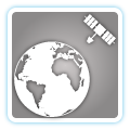 Satellite-GOES
 Winter Weather