
Widespread, life-threatening considerable flash flooding is expected in south-central Texas through at least Friday. Catastrophic river flooding and rapid rises on small streams, arroyos, and typically dry washes are expected in the Texas Hill Country. Wildfire smoke is impacting air quality across much of the Great Lakes region into the Northeast U.S. with Air Quality Alerts in effect. Read More >
Last Map Update: Wed, Jul 15, 2026 at 10:26:35 pm PDT


|
Text Product Selector (Selected product opens in current window)
|
|


 Social Media - Click to view more
 Elko Radar
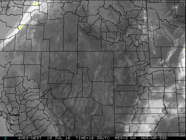 Regional Infrared Satellite Image
 National Weather Map - Click to enlarge
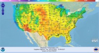 Gridded Forecast Image
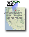 Forecast Weather Tables
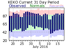 Recent LKN Temperatures
 Satellite-GOES
 Winter Weather
 Weather Stats