Eastern New Orleans, LA Tornado - February 7, 2017
|
Rating:
|
EF-3
|
|
Estimated Maximum Wind:
|
150 mph
|
|
Injuries/Fatalities:
|
33 injuries
|
|
Damage Path Length:
|
10.1 miles
|
|
Maximum Path Width:
|
600 yards
|
|
Approximate Start Point/Time:
|
New Orleans, LA at 1112 AM CST
|
|
Approximate End Point/Time:
|
New Orleans, LA at 1132 AM CST
|
|
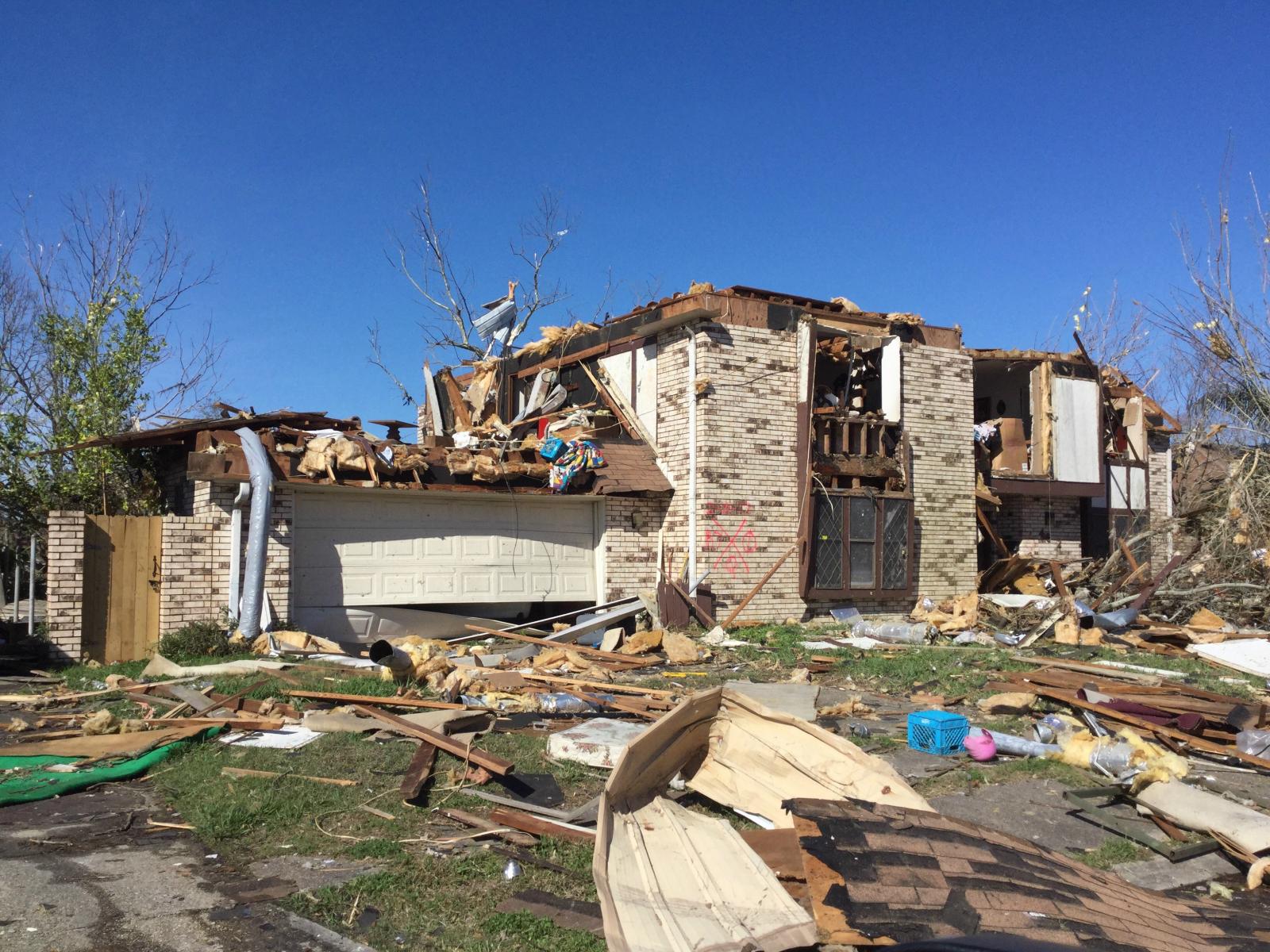
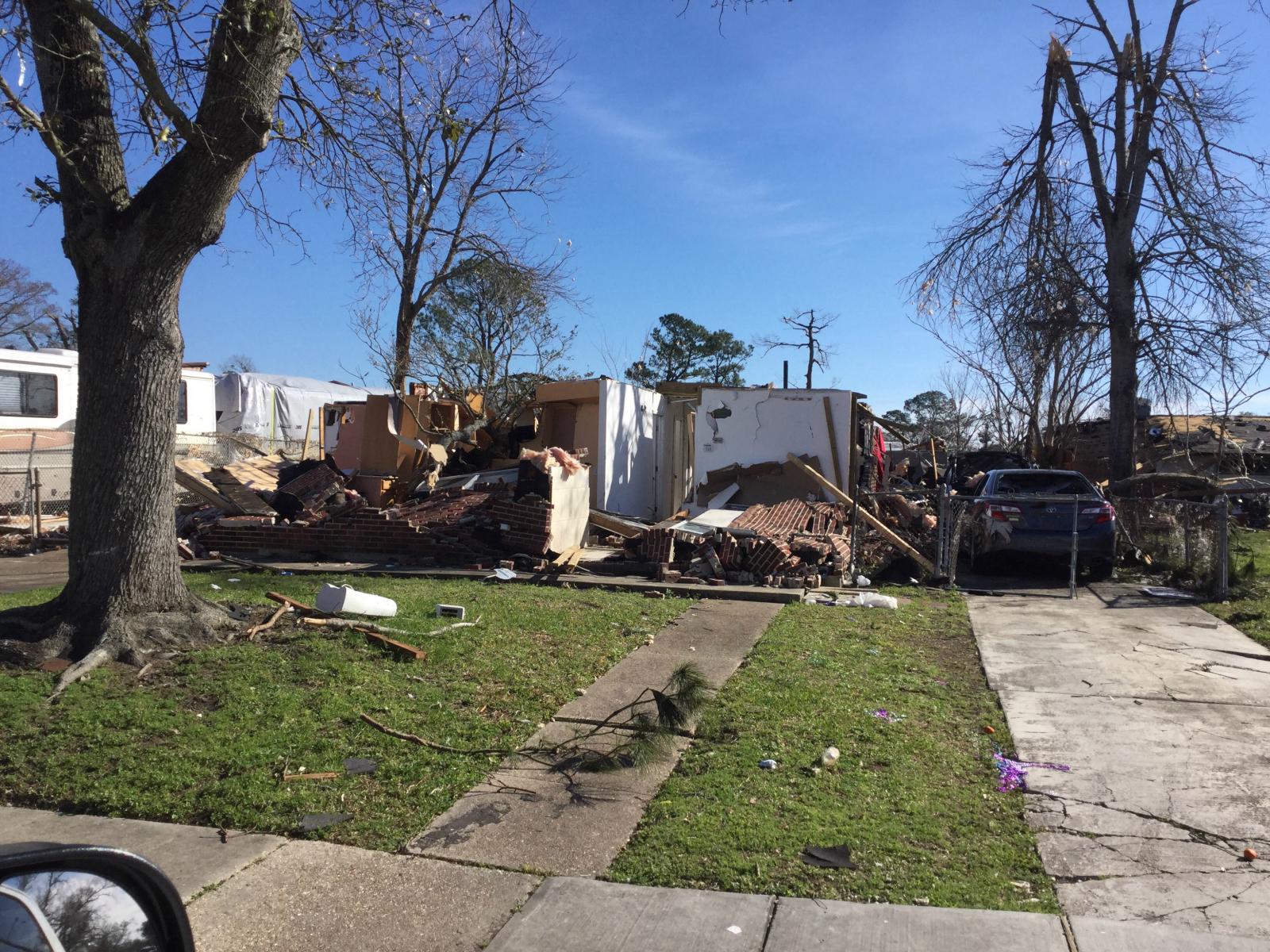
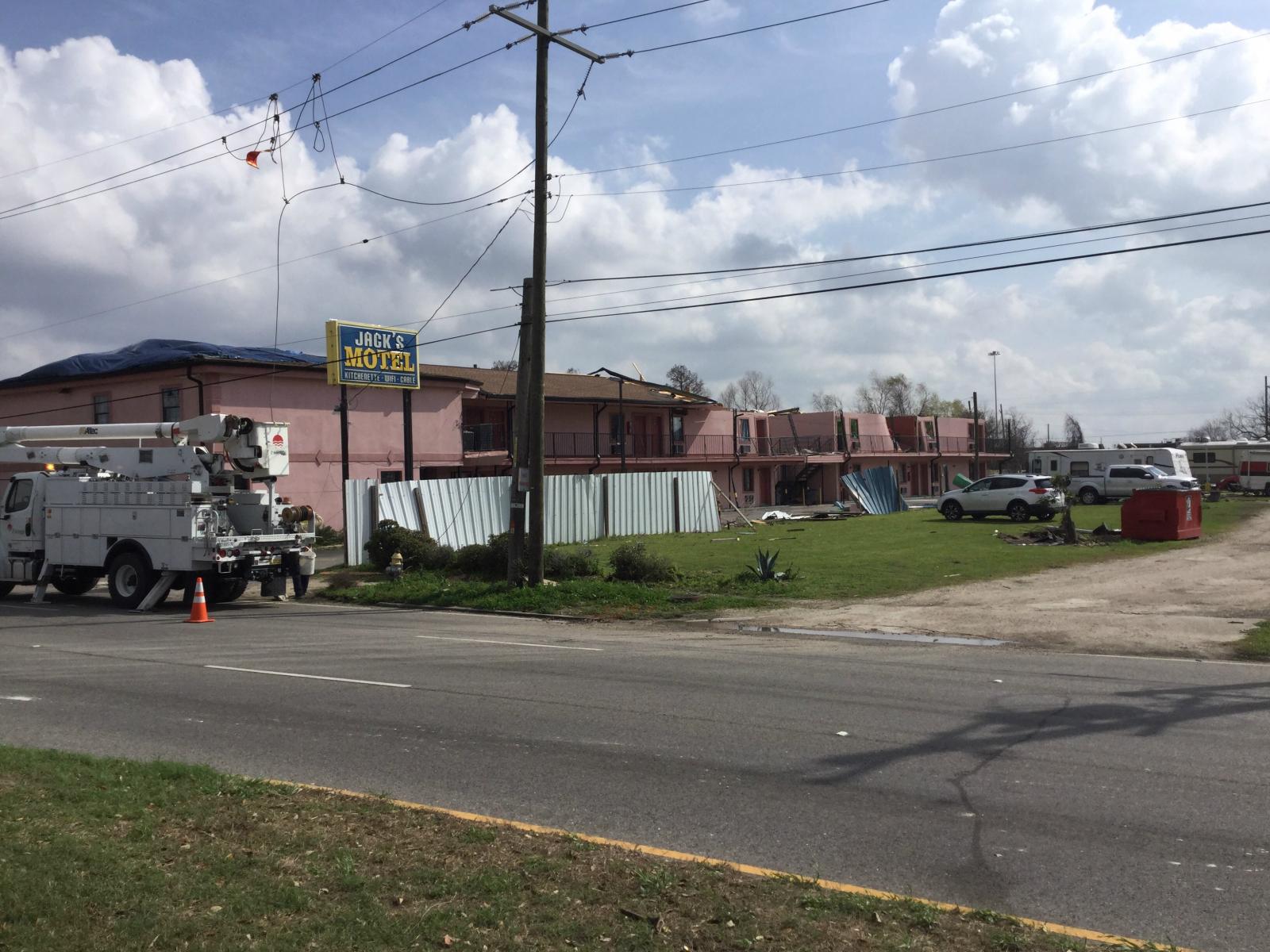
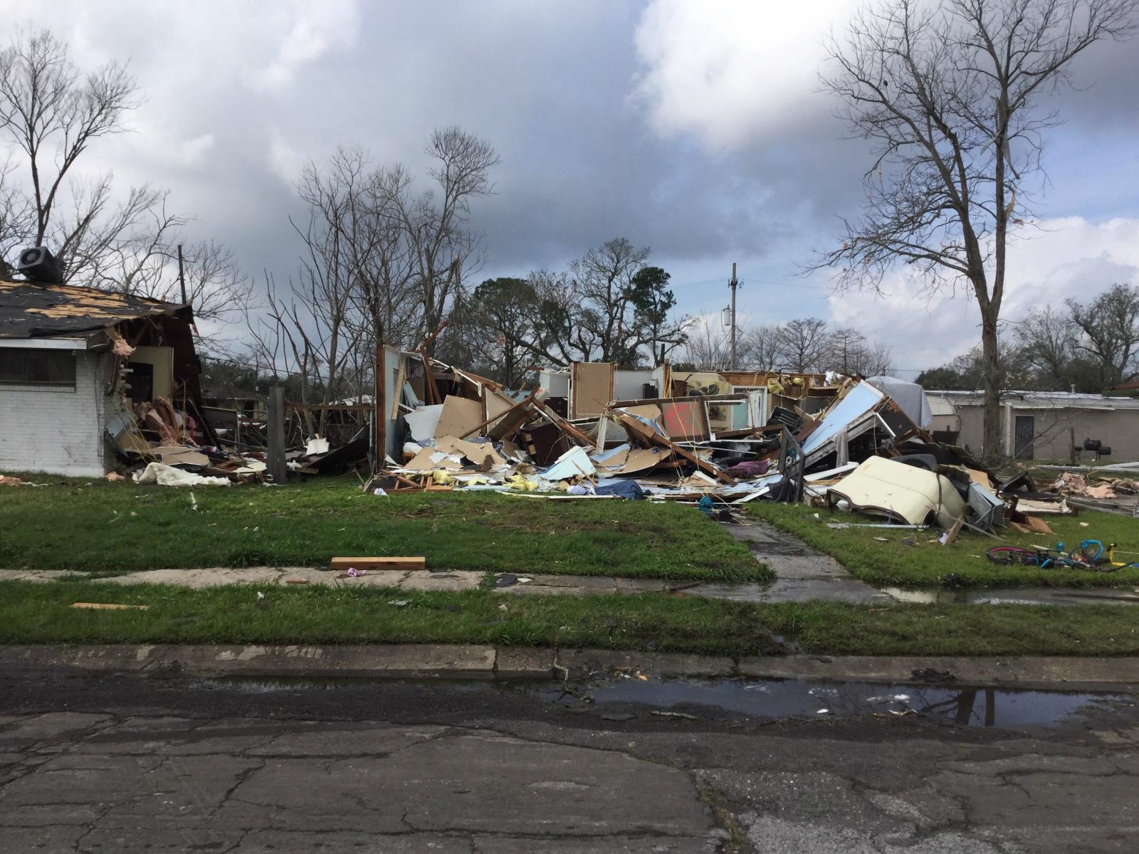
A National Weather Service Damage Assessment Team has surveyed the storm damage in eastern New Orleans, LA. It has been determined the damage was the result of a tornado. The tornado has been rated an EF-3 on the Enhanced Fujita Scale. Damage estimates were consistent with winds of 150 mph. The tornado touched down along Old Gentilly Rd about 1.5 miles east of the Industrial Canal. It moved northeast, quickly strengthening into an EF-2 tornado by the time it reached Chef Hwy. Here it snapped several wooden power poles and caused significant roof damage to an apartment complex and another building similar to an automobile service building. As it moved farther northeast, the damage clearly indicates it became multi- vortex with a second strong vortex taking over as the primary circulation to the north of the first. This second vortex began moving northeast near the intersection of Flake Street and Grant Avenue. On Arthur Drive and Charlene Drive, two homes were severely damaged with most exterior walls and one or two interior walls collapsed. Winds are estimated to have been around 140 mph in this area. At this point the tornado turned more to the east producing a fairly wide swath of solid EF-2 damage with numerous homes losing significant portions or all of their roofing structure. The worst damage was in the area along and just north of Grant Ave from Charlmark Drive to Read Blvd. In this area, nearly every home suffered complete loss of the roof structure and several homes suffered collapsed exterior walls. There were 3 two-story homes on which the entire second floor was destroyed with only a few interior walls remaining. These homes are the basis for the 150 mph maximum wind rating. This area was by far the largest swath of EF- 3 damage with an approximate width of 125 yards and length of 550 yards. The tornado continued to cause mostly EF-2 damage with a few small patches of lower end EF-3 damage as it move eastward toward Bullard Ave. The small pockets of EF-3 damage were noted near the intersection of Good Drive and Chef Menteur Boulevard where a church lost all but one exterior wall and most interior walls, and immediately along Chef Menteur Boulevard from Wright Road to Major Dr where three steel electrical transmission poles were bent. As the tornado approached Bullard Avenue, a third vortex took over as the primary circulation resulting in an apparent turn to the southeast. This third vortex appears to have remained the primary circulation for the remainder of the tornado`s existence over land. It began to move nearly due eastward as it approached the intersection of Almonaster Avenue and Paris Road, producing primarily EF-0 and EF- 1 damage. One small pocket of EF-2 damage was noted in the vicinity of the NASA Michoud Assembly Center where a metal building suffered buckling of the roof supports and one of the NASA buildings suffered significant roof damage and collapse of both the brick facade and cinder block walls in a few places. The tornado continued eastward until it reached Lake Borgne, at which point the track is terminated. However, the tornado likely continued to be in contact with the water for some time based on radar signatures of very tight rotation, a well defined hook echo, and even a continued debris signature as it carried debris from over land into marine areas. In total, the tornado caused moderate to severe damage to 638 homes, of which around half will likely be considered total losses. At least 40 businesses also suffered moderate to severe damage. |
|
|
|
|
||||||||||||||||||||||||||||||||||||