National Weather Service United States Department of Commerce

Severe Thunderstorm Threat From the Central Plains to the Northeast; Extreme HeatRisk for the East Coast

Strong to severe thunderstorms are possible from the central Plains to the Northeast through this evening. Widespread damaging winds are the primary threat but hail and a tornado or two is also possible. Extremely dangerous heat continues across the Eastern U.S. Warm overnight low temperatures will provide little to no relief. Read More >

Click a location below for detailed forecast.

Last Map Update: Wed, Jul 17, 2024 at 7:10:57 am CDT
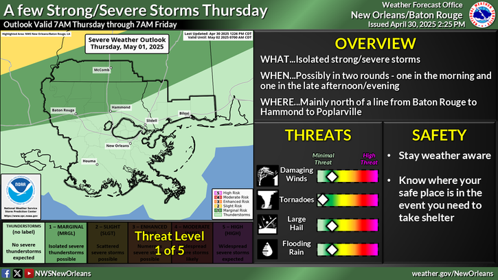
One more day of high heat index values on Wednesday before higher rain chances and cloud cover provide some relief to end the week. Heat index readings of 108F to 112F are forecast in most locations Wednesday. Find ways to cool down if outdoor activity is needed and check on those who may need attention.
Beat the Heat! Never leave people or pets in a closed car on a warm day. Drink plenty of fluids to stay hydrated. Wear loose, lightweight, and light-colored clothing. Spend time in the air conditioning and shade.


CoCoRaHS
CoCoRaHS - Click for more information
Submit
Storm Report

Submit a Storm Report

River Stages
Latest River Stages


Quick Access to Text Products


 Current Weather Observations...
Location Time
(CDT)
Weather Vsby.
(SM)
Temp.
(ºF)
Dewpt.
(ºF)
Hum.
(%)
Wind
(mph)
Wind Chill / Heat Index
(ºF)
Pres.
(in)
Baton Rouge LA06:53Lightning Observed10817684NNE 3-30.03
Biloxi MS06:56Light Rain With Thunder6777388CALM-30.02
Gulfport MS06:53Thunder In The Vicinity \ Lightning Observed10817787SE 3-30.03
Hammond LA06:55Lightning Observed10757599CALM-30.04
Houma LA06:47Partly Cloudy7787383CALM-30.04
McComb MS12:53Mostly Clear10907153VRB 396 [HI]30.07
New Orleans LA06:53Cumulonimbus Clouds Observed10817890CALM-30.03
Slidell La06:53Mostly Clear10787590N 3-30.03