Severe thunderstorms will continue today across portions of the Southeast as this system tracks offshore. Meanwhile, dry and breezy conditions will increase fire weather concerns for areas of central Florida today; The threat shifts into portions of the northern Plains on Friday. Record warmth will spread for the southern Plains, Southwest, central Great Basin and interior California next week. Read More >
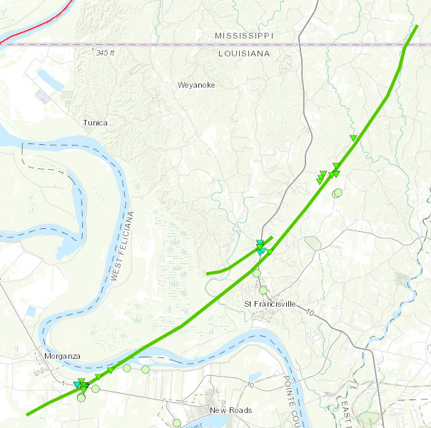
Labarre, LA to Spillman, LA Tornado - April 10, 2024
|
Rating:
|
EF-1
|
|
Estimated Maximum Wind:
|
110 mph
|
|
Injuries/Fatalities:
|
None
|
|
Damage Path Length:
|
32.4 miles
|
|
Maximum Path Width:
|
1,760 yards
|
|
Approximate Start Point/Time:
|
3 miles SSW of Morganza, LA at 758 AM CDT
|
|
Approximate End Point/Time:
|
6 miles NNE of Spillman, LA at 827 AM CDT
|
|
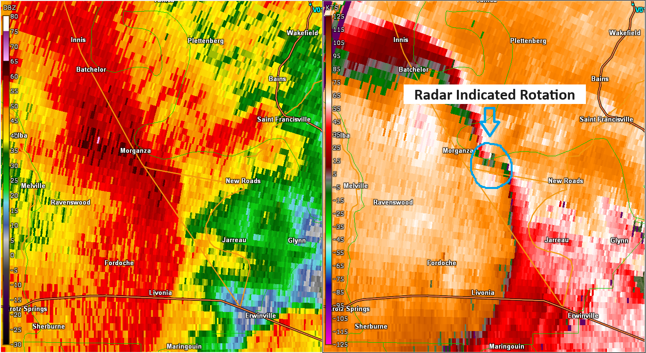
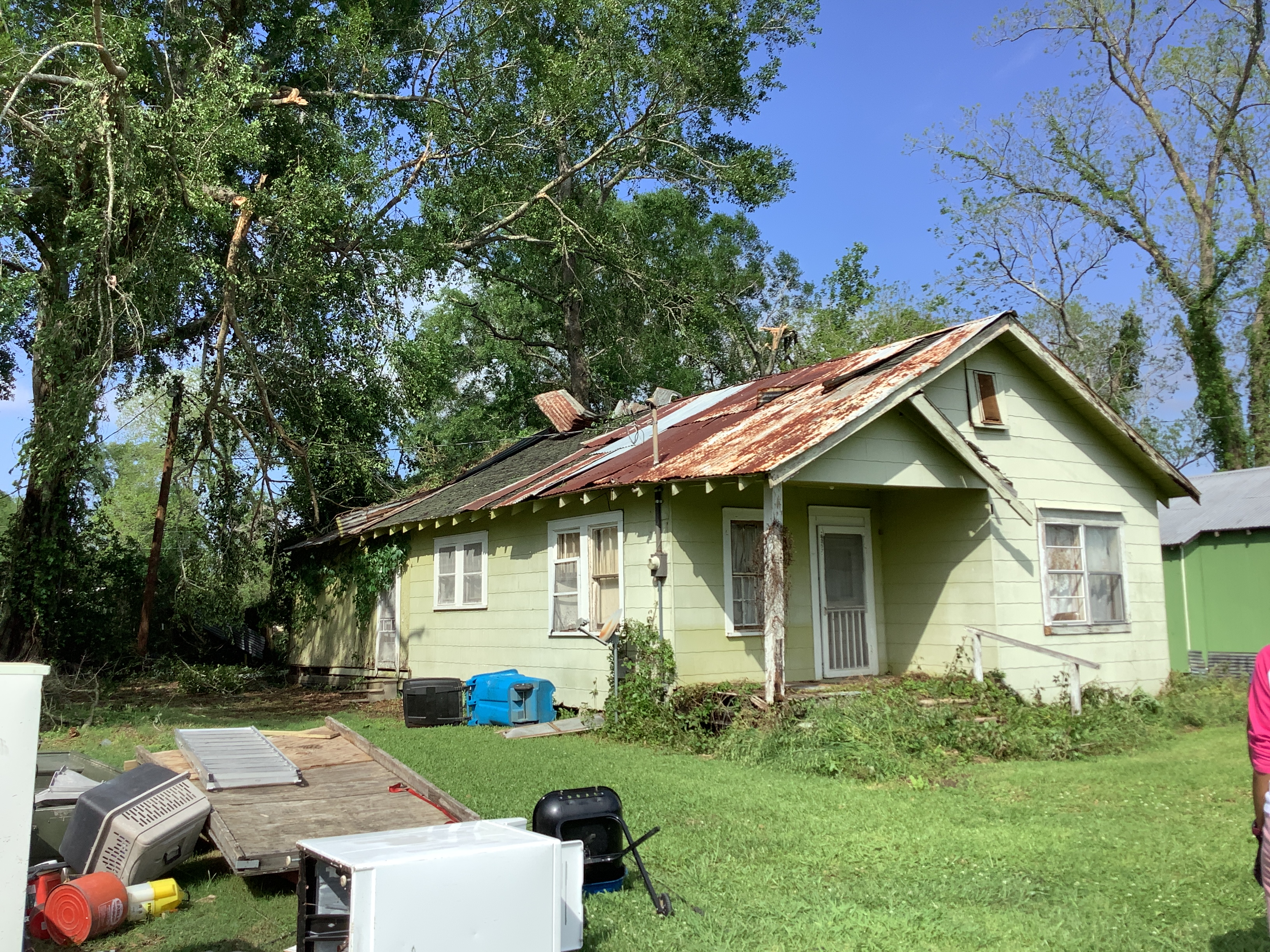
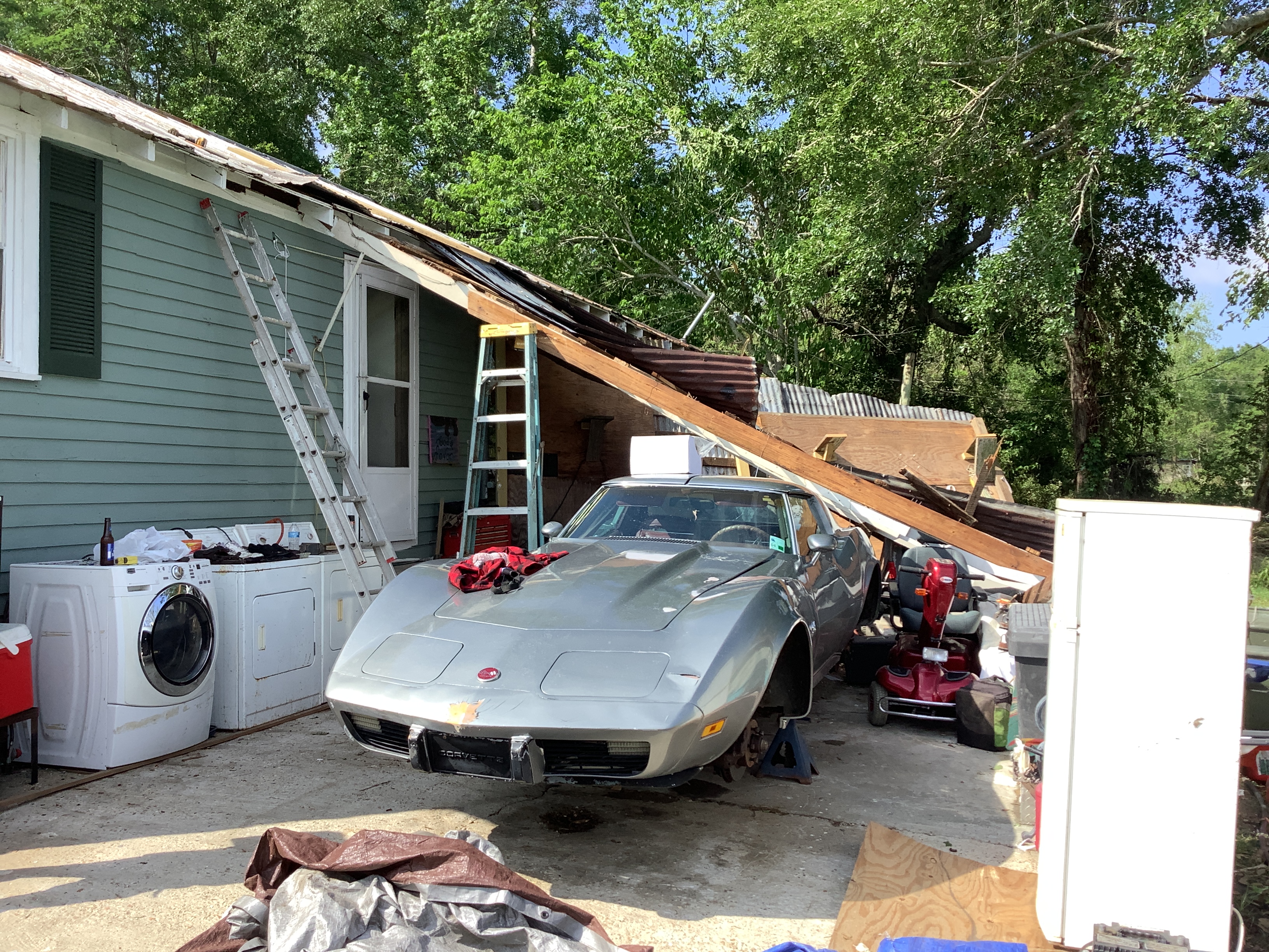
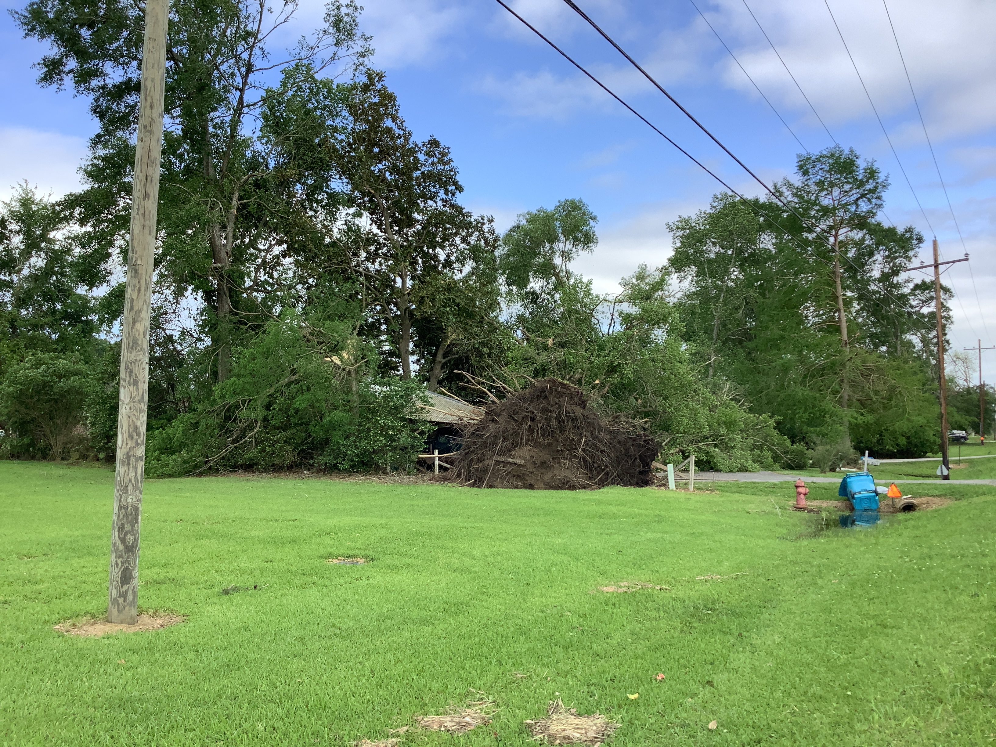
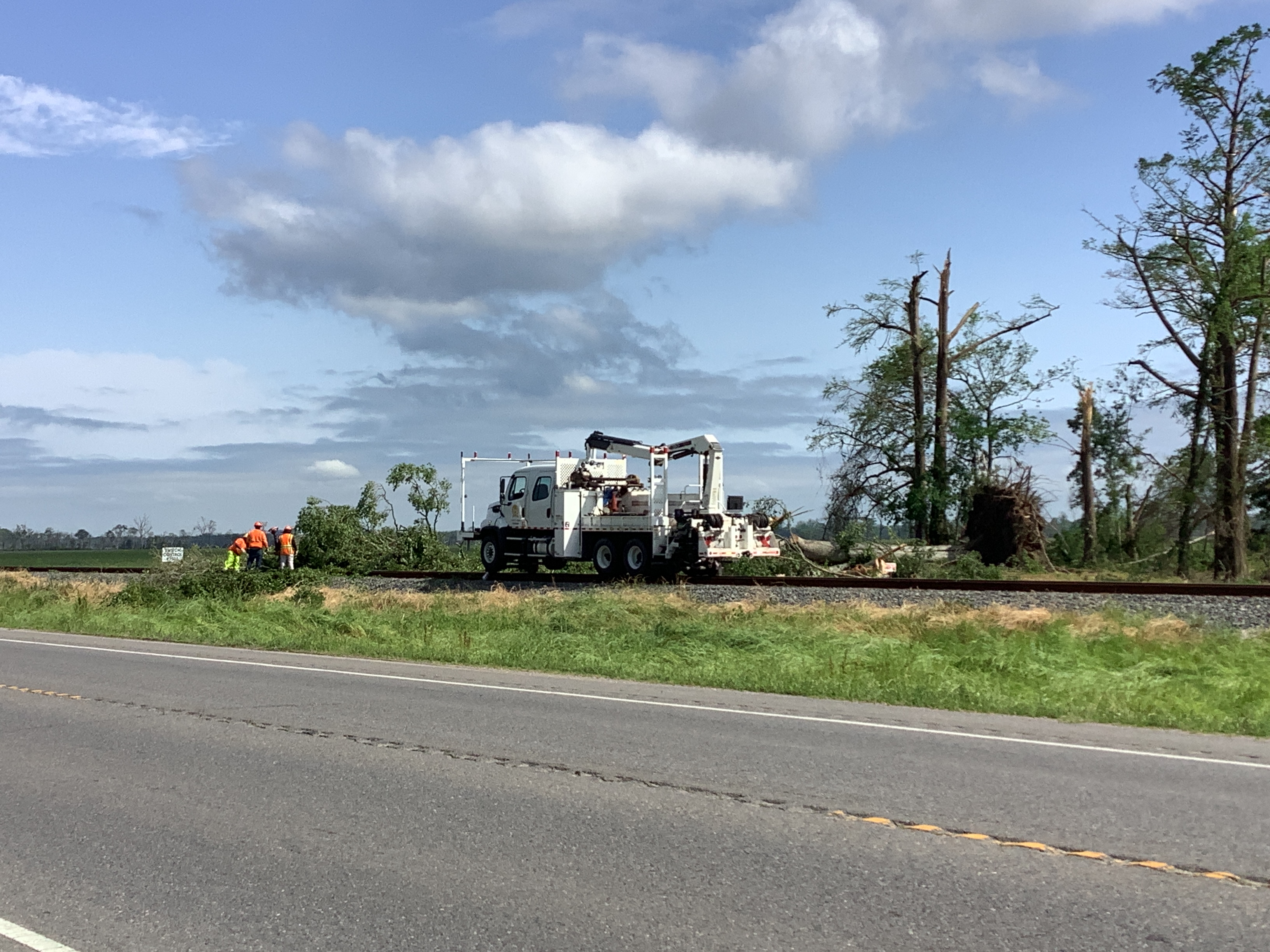
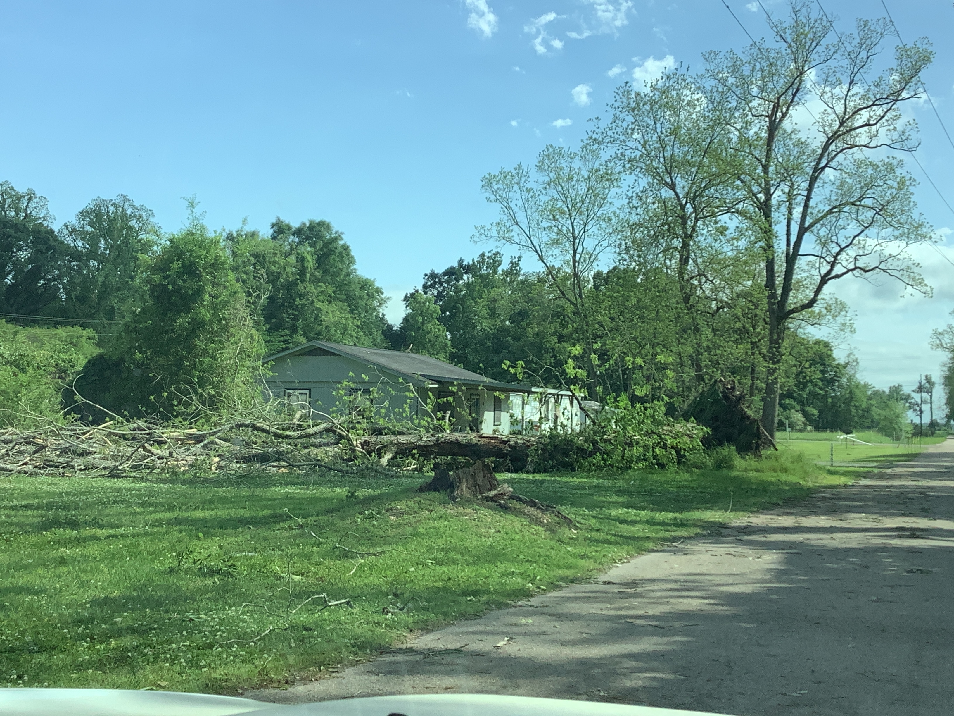
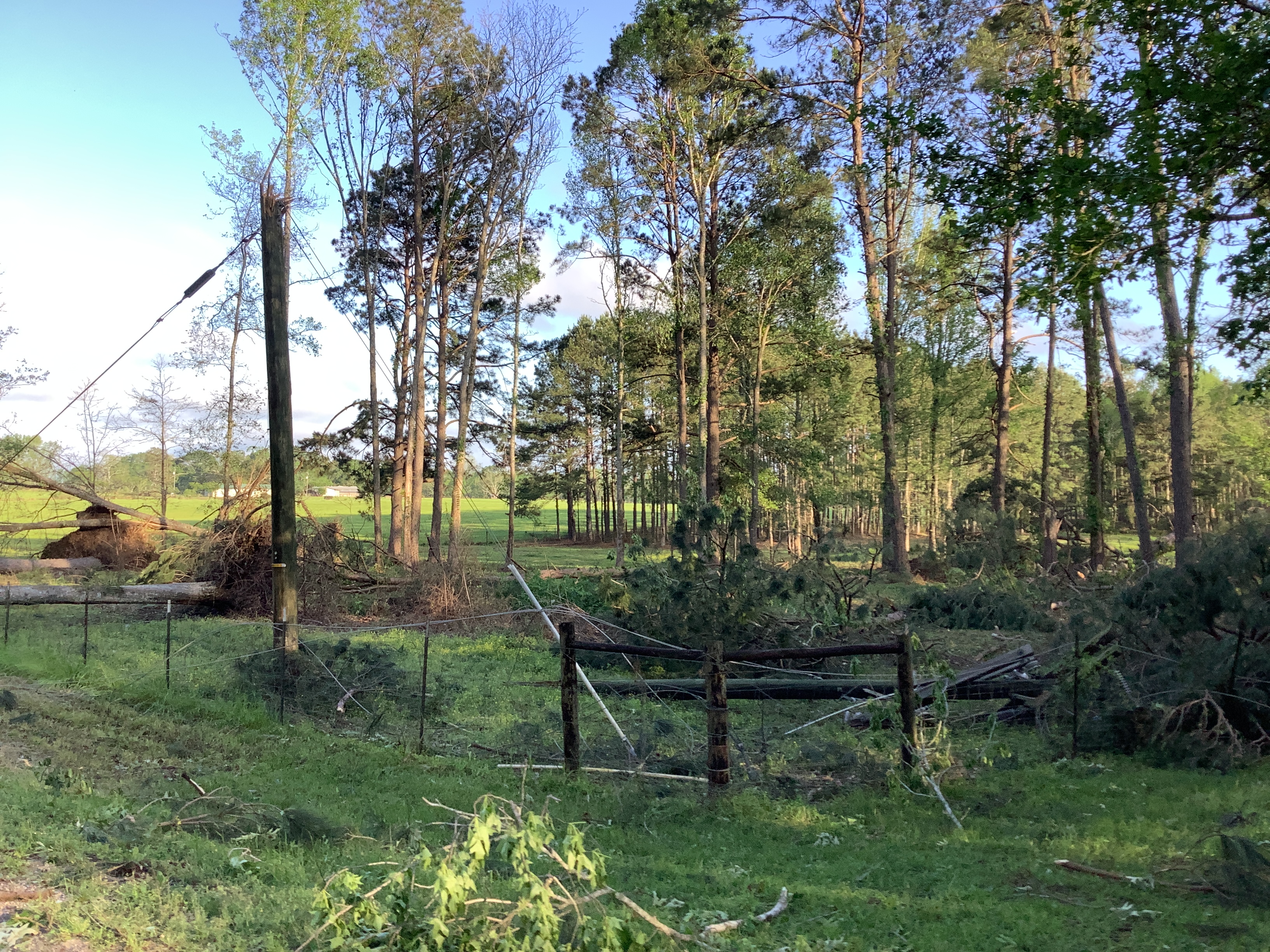
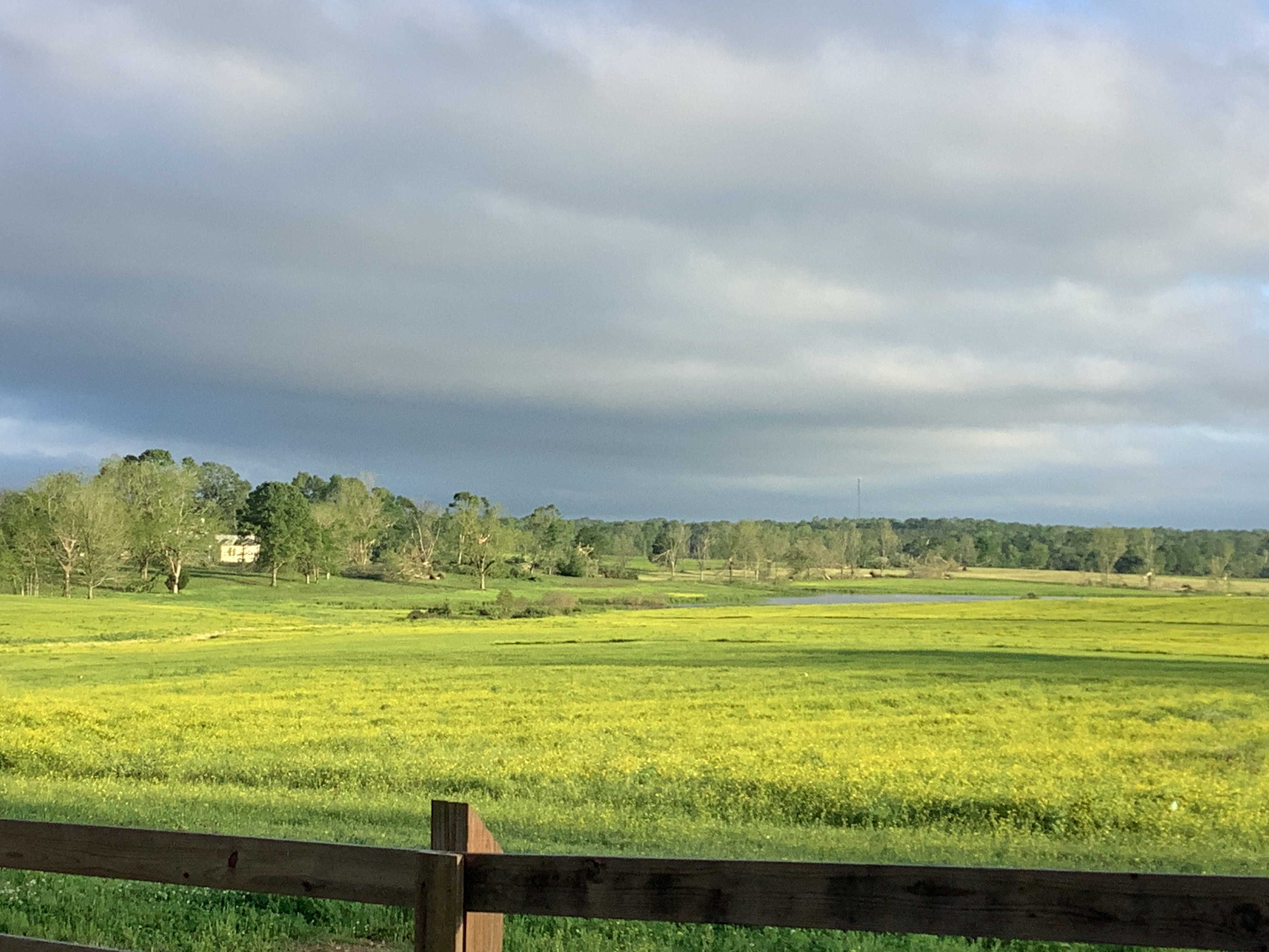
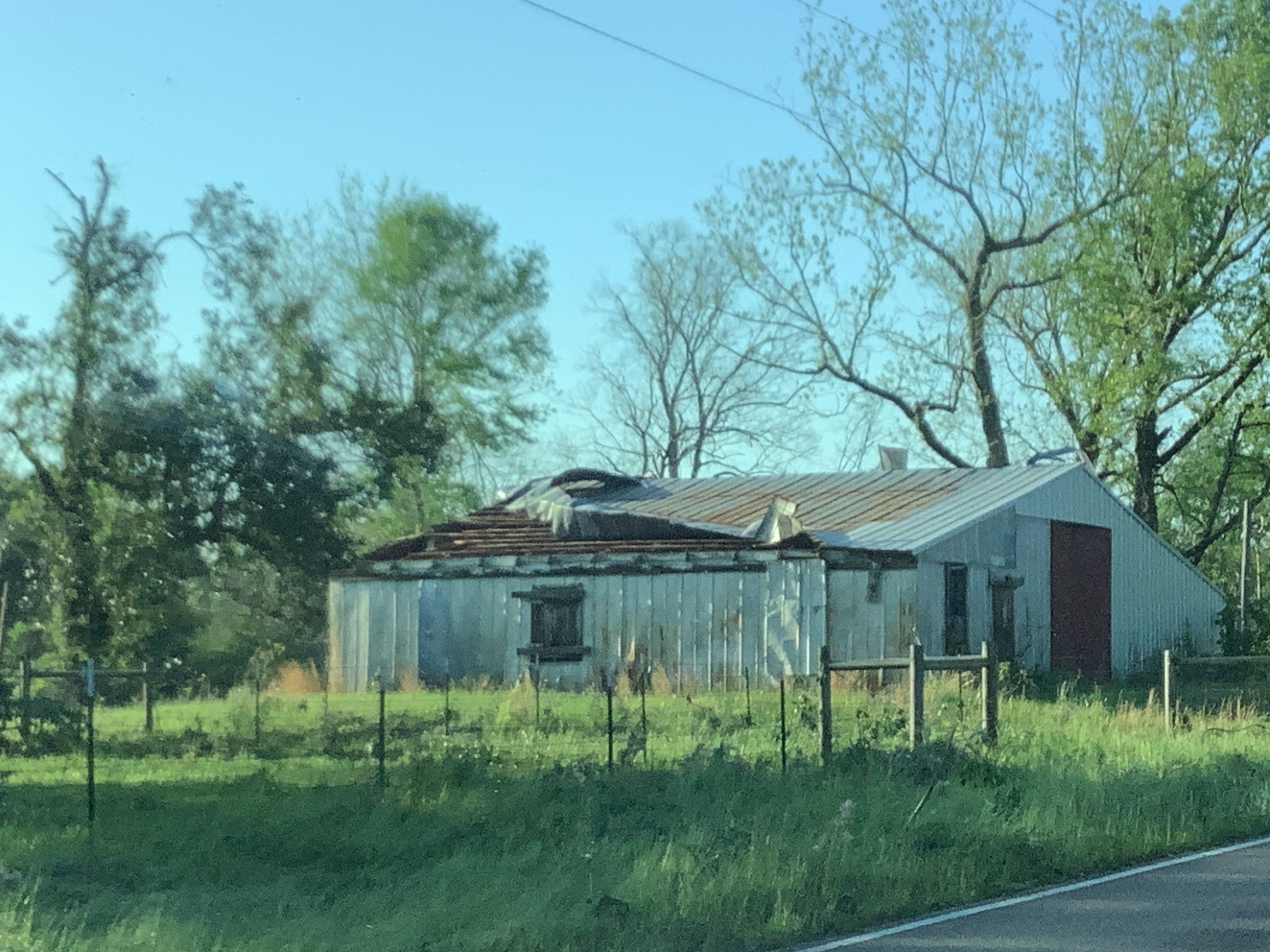
A National Weather Service Damage Assessment Team has surveyed the storm damage between Labarre, LA and Spillman, LA. It has been determined the damage was the result of a tornado. The tornado has been rated an EF-1 on the Enhanced Fujita Scale. Damage estimates were consistent with winds of 110 mph. A strong and long-lived tornado tracked across portions of Pointe Coupee and West Feliciana Parishes carving out a nearly 33-mile- long path with a maximum width of approximately 1 mile just southwest of Spillman, LA. Per NDVI differencing on satellite analysis, this tornado formed south of Morganza, LA within a powerful line of thunderstorms and quickly moved northeast over mainly rural lands before causing more substantial tree damage as it crossed Morganza Hwy. The tree damage became increasingly more widespread and intense as the tornado crossed Levee Road and the Mississippi River. High resolution satellite imagery identified a focused swath of tree damage roughly 400 yards in width that continued northeast through the Cat Island National Wildlife Refuge up through US Highway 61. Tree damage was observed on Highway 61 with another large swath of tree damage further northeast on Bains Road. Due to the heavily wooded and rural areas, ground surveys were impeded in identifying parts of this track as it continued northeast. The tornado quickly grew in size thereafter and the most significant damage began after the tornado crossed Polk Brannon Road. The ground survey was able to access along Spillman Road and Jones Vaughn Creek Road where numerous trees were snapped, large hardwood trees were uprooted, and several wooden electrical transmission poles were snapped. The peak width of the damage path was measured in this vicinity with widespread damage evident along a mile wide swath. Ground surveys were impeded near Spillman, LA due to widespread tree damage from this tornado, but the damage path and track remained wide and significant as it tracked northeast along Highway 421. High resolution satellite analysis was used to provide the end point for this tornado in which the tornado finally lifted after crossing into rural parts of Wilkinson County in Mississippi. |
|
|
|
|
|||||||||||||||||||||