These graphics provide 'zoomed-in' visualization of where specific weather hazards may occur during a specific time frame or over a defined period of time. Data is typically updated daily between 3 and 4 am/pm. Additional Resources Daily Web Briefing NWS JAX Decision Support Website NWS JAX Social Media
Thunderstorm Outlook Graphics
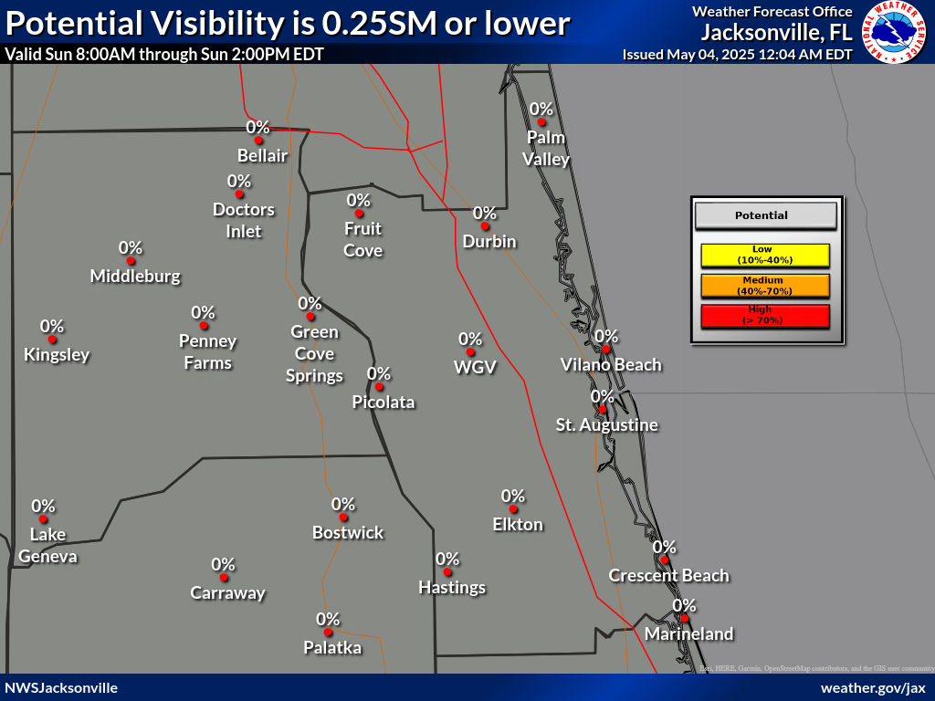
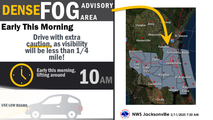
Probability Dense Fog Advisory One Quarter Mile or less
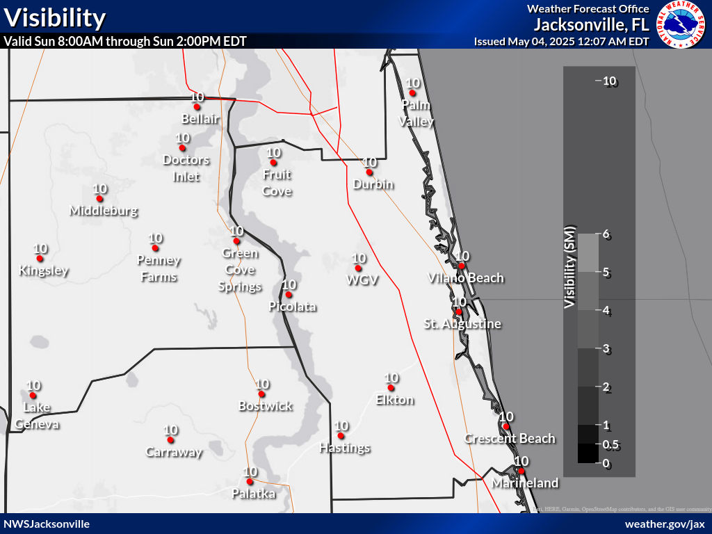
Visibility (Fog) Forecast (miles)
Probability Wind Advisory Sustained Winds ≥26 mph
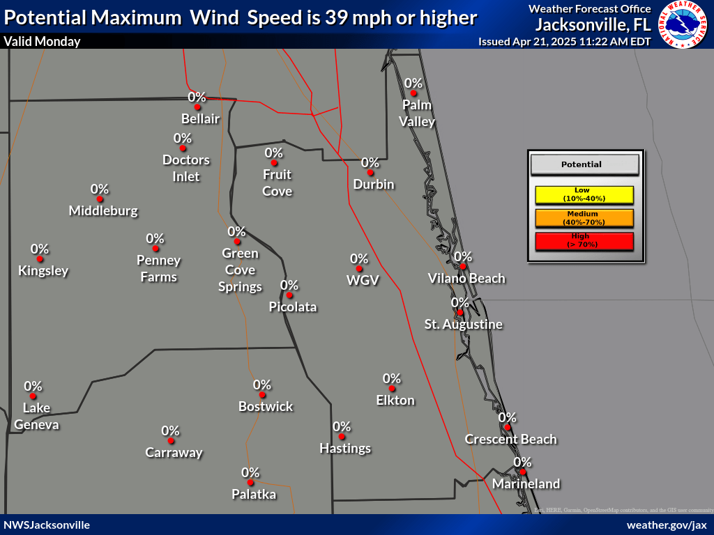
Probability High Wind Warning Sustained Winds ≥39 mph
Probability Wind Advisory Wind Gusts ≥39 mph
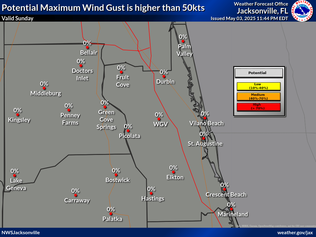
Probability High Wind Warning Wind Gusts ≥58 mph
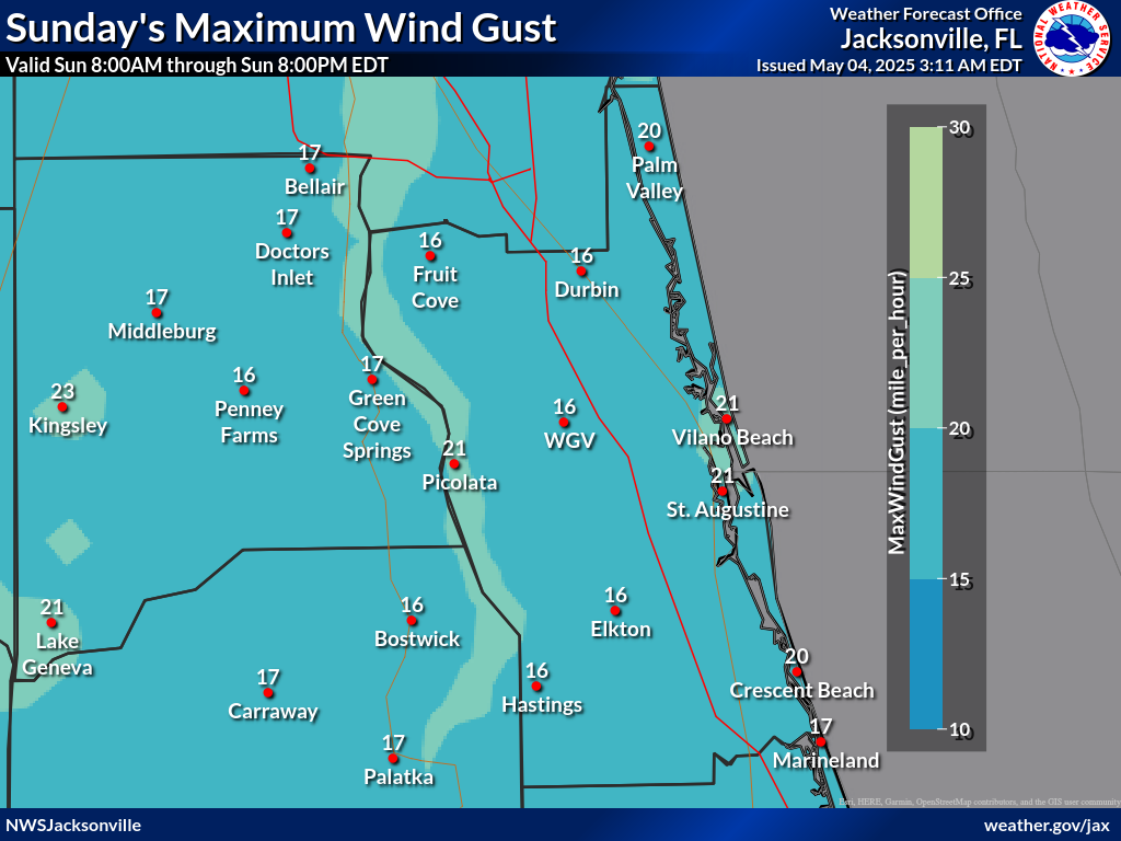
Forecast Maximum Wind Gusts (MPH)
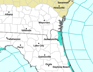
Watches/Warnings/Advisories (WWA)
Daily Weather Impact Graphic
Local and Regional Radars
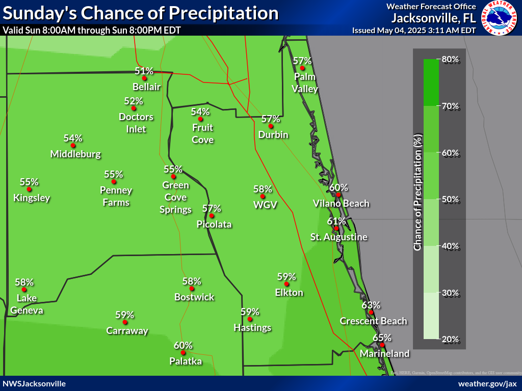
Probability of Precipitation
Click on any image below to view a full screen version
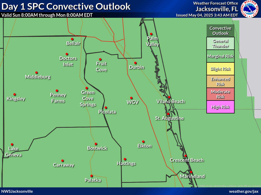
SPC Outlooks: Day 1 SPC Outlooks: Days 2-8
Click anywhere to return