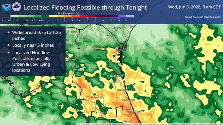
🌀 Outer rain bands of Tropical Storm Bertha will primarily impact the Suwannee Valley and inland southeast GA through early Tuesday evening.
⛈️ A few stronger storms capable of 40-50 mph wind gusts 💨and possibly some localized flooding from persistent heavy downpours🌧️will be possible, mainly for locations west of the U.S. Highway 301 corridor in southeast GA, and also north central FL and the Suwannee Valley.
⚡ REMEMBER: If you hear thunder, you are close enough to be struck by lightning
🌩 When Thunder Roars, Go Indoors!


 Jacksonville Radar
 Weather Map
 Regional Satellite
  DAY 1 Convective Outlook
 Tropical Weather Outlook
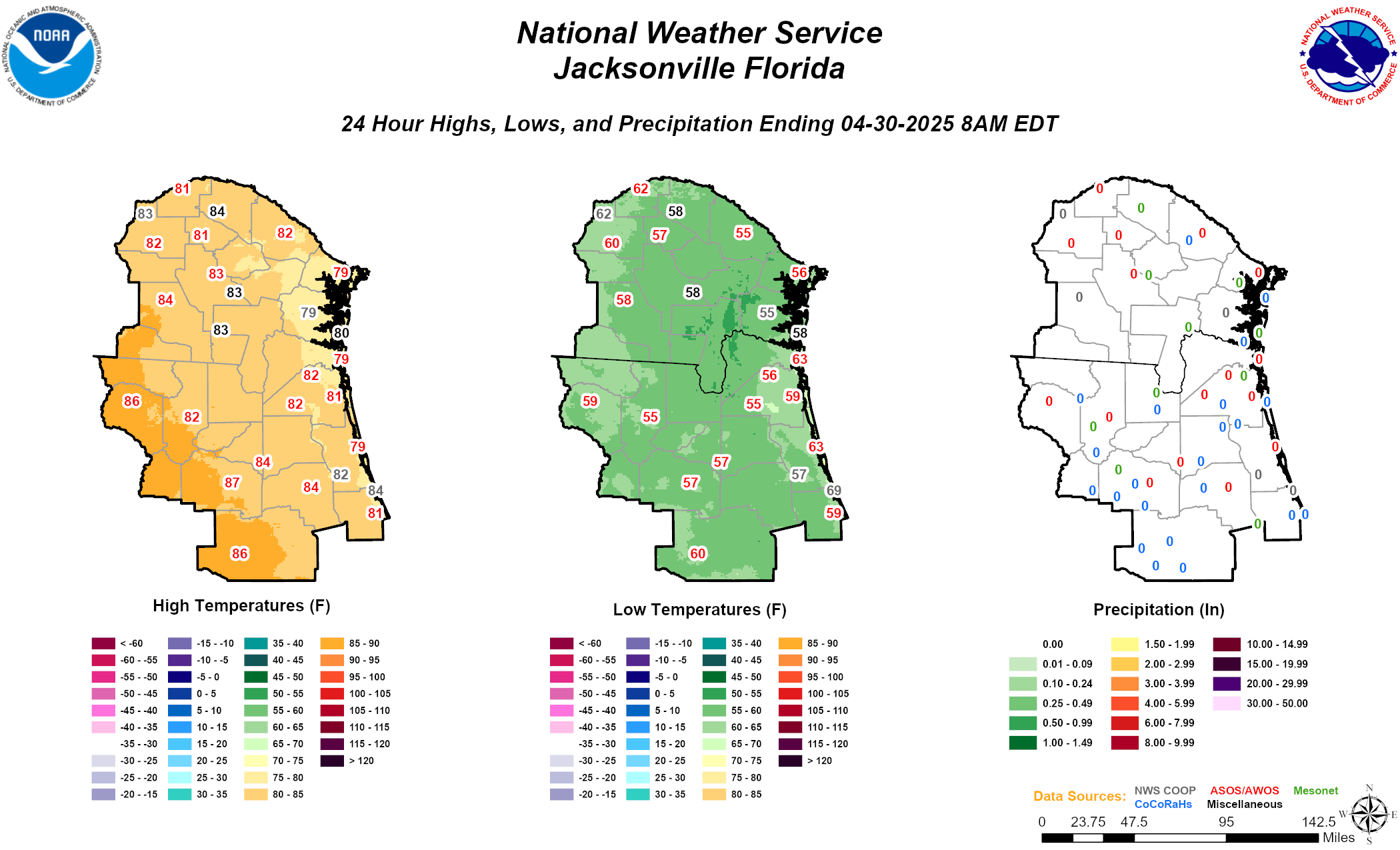 Daily Graphics