National Weather Service United States Department of Commerce
Click a location below for detailed forecast.

Last Map Update: Sun, Sep 29, 2024 at 3:12:51 pm CDT

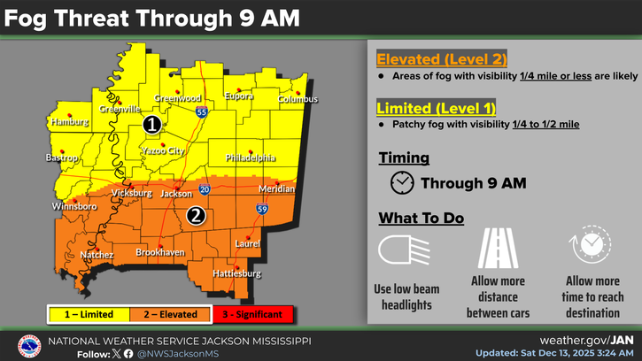
Areas of fog are expected to develop late tonight and persist into early Monday, especially for central and north central Mississippi. Some of the fog could be dense at times.
Considerable cloudiness will linger today mainly along and north of I-20, with a slight chance for showers in the northeast. High temperatures will range from the upper 70s in the Golden Triangle where clouds will be more persistent to upper 80s in the Pine Belt where more sun is expected.
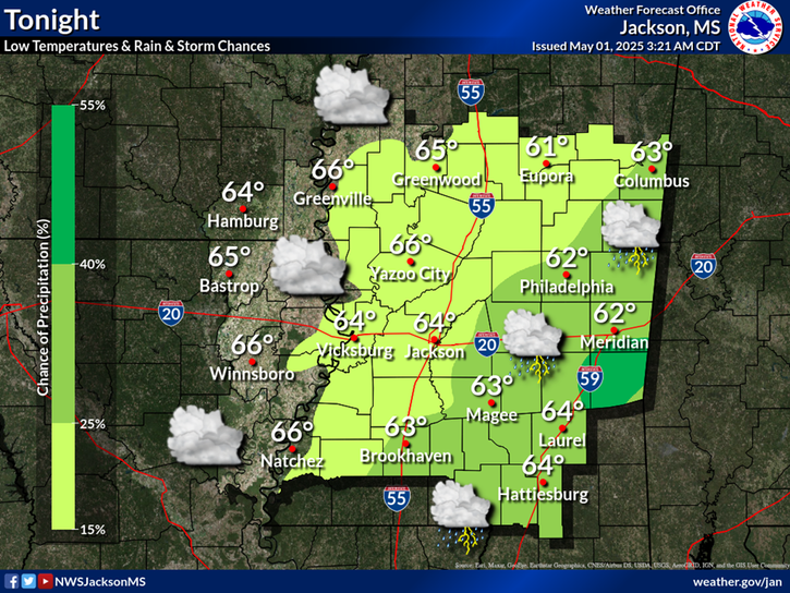
Clouds will hang around for much of the evening over the northern half of the area, with mostly clear skies further south and west. Lows tonight will fall into the low & middle 60s.
Once again on Sunday, mostly cloudy skies will exist north of I-20 with an isolated shower or sprinkle not out of the question. Further south, partly sunny skies will prevail. Highs temperatures will top out in the 80s.


SAFE Page Briefing Probabilistic Graphics Past Weather Events Precip Maps Weather History
SAFE Page Briefing Probabilistic Graphics Past Events Recent Rainfall Weather History
Forecast Discussion
Gridded Forecast Hourly Forecast Forecast Discussion Local Climate Tornado Database Submit Storm Report
    Be Prepared Estar Preparado    
    Be Prepared Estar Preparado