An unusually long-lived lake effect snow event occurred to start 2010. Low pressure off the New England coast combined with strong high pressure over Greenland supported a persistent period of blocked flow over eastern North America (Figure 1). This, combined with an arctic high pressure centered over the upper Midwest allowed for a prolonged northwesterly flow of arctic air over the Great Lakes.
 |
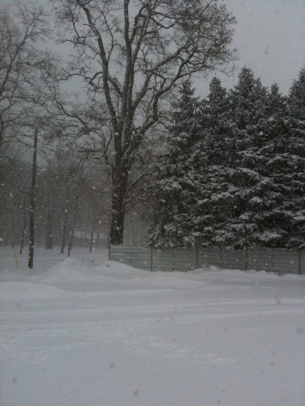
Snow showers developed downwind of Lake Michigan early on the morning of New Year’s Day and continued through the 5th of January. During this five day period, snowfall totals of 1 to 2 feet occurred over extreme northwest Indiana and southwest Lower Michigan, including 19” at the South Bend airport (Figure 2). Total snowfall of 4 to 8 inches occurred farther inland, along a Knox to Warsaw to Lagrange line in Northwest Indiana, with much less to the south and east of this. This ended up being the second snowiest first week of January at South Bend.
 |
Interestingly, even though this event was prolonged, with a nearly 5 day period of continuous snowfall immediately downwind of Lake Michigan, a majority of the snowfall occurred during two periods. The first was on the evening of January 1st, when an intense single-band of lake effect snow brought snowfall rates of up to 3 inches per hour (Figure 3). In many locations, this 6 to 9 hour period of occasionally heavy snow brought about one half of the event total for the five day event (Figure 4).
 |
 |
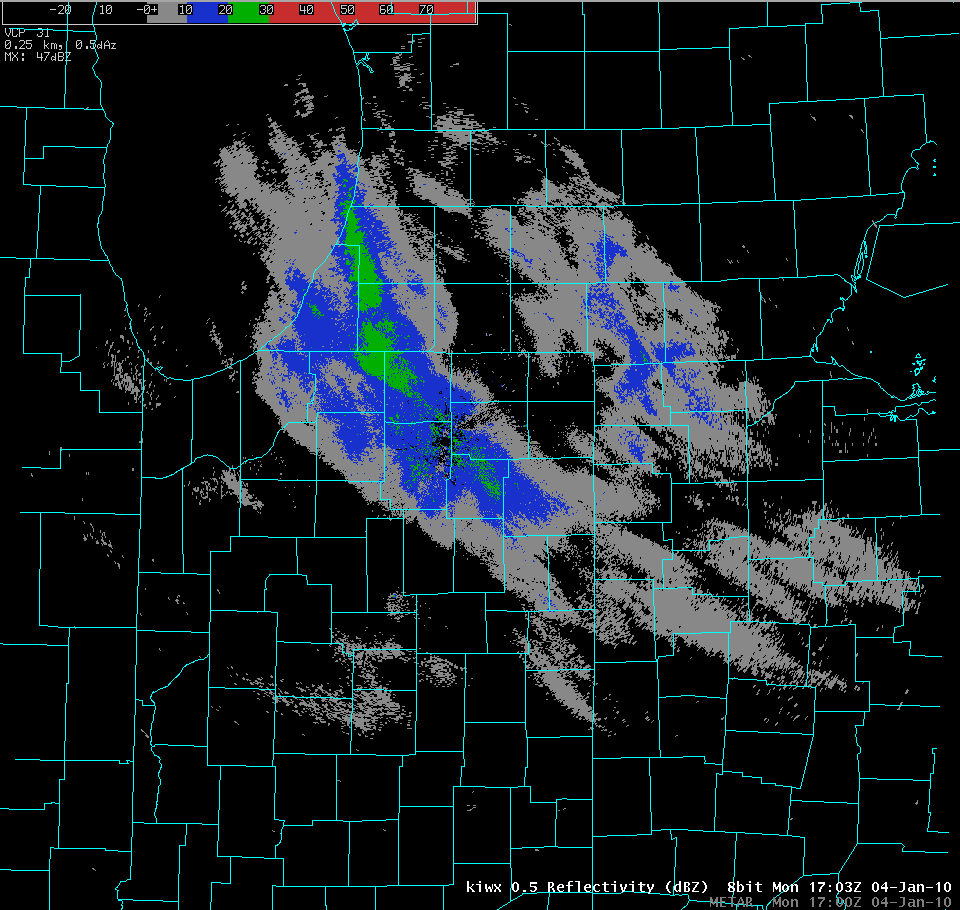
The second period of significant snow accumulations began early on the morning of January 4th and continued through the early afternoon as an area of moisture rotating west off of the Atlantic reinvigorated a pre-existing band of lake effect snow (Figure 5). During this approximately 12 hour period, additional snowfall of 4 to 6 inches fell along an axis extending from Cass County in southwest Michigan southeast through Kosciusko County in northwest Indiana (Figure 6). Outside of these two periods, much lighter snowfall was observed, indicating that while this event was prolonged and persistent, it was also highly variable.
 |
 |
 |
Story written by Justin Arnott
Webpage Creation by Sam Lashley

