After an extended period of very dry weather and weeks of moderate to severe drought...most of northern Indiana...northwest Ohio and southwest lower Michigan have experienced very heavy rainfall during the month of August.
The months of June and July were very dry over the entire area, with precipitation deficits of 25 to 50 percent of normal (Figure 1). Moderate drought (D1) was reported across many areas...but eastern Indiana and northwest Ohio reported Severe drought (D2) conditions during July and early August (Figure 2). Many agricultural crops, especially corn, was considered a total loss due to the very dry conditions. Rivers and streams were at critically low levels, as were local ponds and even some lakes.
The month of August has brought an extreme change in the weather, especially for northwest Ohio. Between August 16th and 22nd...much of northern Indiana...southwest lower Michigan and northwest Ohio has received between 4 and 15 inches of rain (Figure 3). Van wert and Putnam counties in northwest Ohio have been the hardest hit areas...with the higher amounts of between 8 and 15 inches falling in these counties. This is an astonishing 500 to 600 percent of normal rainfall for this period (Figure 4).
These incredible rainfall amounts have led to numerous road closures and moderate to major river flooding. National Weather Service radar and precipitation analysis indicate the max amount of 12 to 15 inches to have have fallen in Putnam county. 6 to 8 inches was estimated to have fallen on August 21st and 22nd.
The village of Ottawa Ohio in Putnam county has been completely engulfed by flood waters from the Blanchard river. The river is expected to crest around 31 feet...8 feet above the flood stage of 23 feet. This would be the second highest crest ever at Ottawa, second only to the March 1913 crest of 33.3 feet. As of Wednesday afternoon, August 22nd, much of the village of Ottawa was experiencing major flooding and many areas had been evacuated. Flood waters were 4 to 8 feet deep in parts of downtown Ottawa, with first floors of many homes and businesses under water (Pictures below).
Additional rain is expected through Friday. The atmosphere remains very moist and capable of torrential rainfall in very short periods of time. Rainfall rates of 1 to 3 inches per hour are possible across any part of northern Indiana, southwest lower Michigan and northwest Ohio with any thunderstorm this week. Due to the saturated ground as well as current flooding conditions, runoff from any additional storms will quickly lead to more flooding. Stay tuned to forecasts this week and listen for watches and warnings and follow their directions for safety. When in doubt, turn around, don’t drown!

Figure 1 - Percent of Normal Precipitation for July. Many areas were 25 to 50 percent below normal.
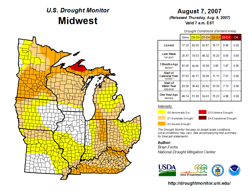
Figure 2 - Drought Monitor showing drought conditions across the U.S. and our local area.

Figure 3 - Precipitation estimates for 7 day period ending on August 22nd.

Figure 4 - Percent of Normal Precipitation for 7 day period ending August 22nd. Many areas in excess of 600 percent.
Below are a few pictures of flooding from Wednesday, August 22nd in and around Ottawa Ohio


Web Story by Sam Lashley

