Northern Indiana
Weather Forecast Office
Funnel Clouds Form Over Northern Indiana July 5, 2005
During the evening of July 5th, 2005, numerous reports of funnel clouds were received at the Northern Indiana National Weather Service Office. While there were no thunderstorms in the area, trained NWS weather observers and photographs confirmed the presence of funnel clouds over parts of southern Kosciusko and Miami counties of northern Indiana.
These funnel clouds were not part of a typical thunderstorm that might produce funnel clouds and tornadoes. However, similar atmospheric processes did contribute to the formation of these funnel clouds.
A weak trough of low pressure was moving across northern Indiana during the late afternoon and early evening hours, extending from near Lafayette Indiana to Toledo, Ohio around 700 pm CDT. At the same time, a secondary trough of low pressure extended from near Knox to Marion, Indiana. The intersection of these boundaries was in the vicinity of southern Kosciusko, Fulton, Wabash, and Miami Counties. These boundaries can be seen in visible satellite imagery where the cumulus cloud field is enhanced. Local Analysis and Prediction System (LAPS), a local computer model that runs hourly, also shows an area of weak Equivalent Surface Potential Temperature Convergence (ESPTC) lined up nicely with these enhanced clouds. ESPTC is an indication of moisture converging in an area and a source of rising air.
Where these subtle boundaries and weak moisture convergence intersected was the location where most funnel cloud reports originated. Since atmospheric conditions were not conducive to thunderstorms and tornadoes, the funnel clouds that formed were small, weak and short lived. The atmosphere below the cloud bases were relatively stable and also helped prevent the funnel clouds from reaching the ground.
These type of funnel clouds rarely touch the ground, but if they do, might produce damage similar to an F0 tornado. In this case, no reports of touchdowns were reported and most funnel clouds were very brief.
7/7/05...SLL/LF
 Funnel Clouds in Macy, IN (Courtesy Pamila Deaton) |
 Visible Satellite Images of clouds and boundaries associated with funnel clouds |
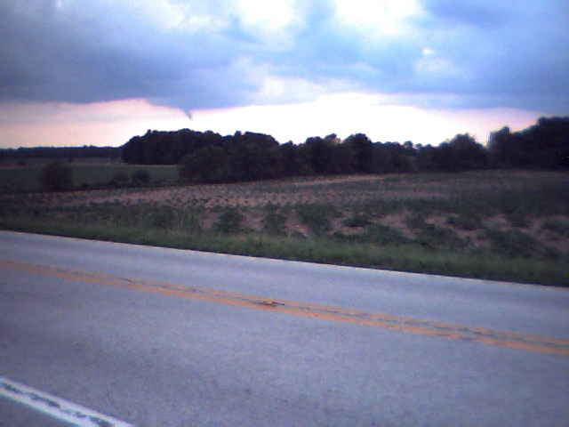 Funnel cloud 2 miles south of Akron, IN, facing south (Courtesy Craig Lewis) |
|
|
Hazards
Heat Related
Watch/Warning
Outlook
Storm Prediction Center
Storm Reports
Submit a Report
Outdoor Event Watcher
EM Briefing
Current Conditions
Hourly Weather
Surface Observations
Regional Temps/Precip
Precip Reports
Satellite
Climate
CoCoRaHS
FWA Daily
SBN Daily
FWA Monthly
SBN Monthly
Cliplot
Spring Frost Climatology
Fall Frost Climatology
Severe Climatology
Tornado Climatology
Local Information
Public Information Statement
Probabilistic Snowfall
Storm Data
Skywarn
COOP
Our Office
WSR-88D
Headline Criteria
NOAA Weather Radio
Weather History
Social Media Feeds
Weather Events Page
US Dept of Commerce
National Oceanic and Atmospheric Administration
National Weather Service
Northern Indiana
7506 E 850 N
Syracuse, IN 46567
574-834-1104
Comments? Questions? Please Contact Us.

