Northern Indiana
Weather Forecast Office
F0 Tornado Near Granger, Indiana
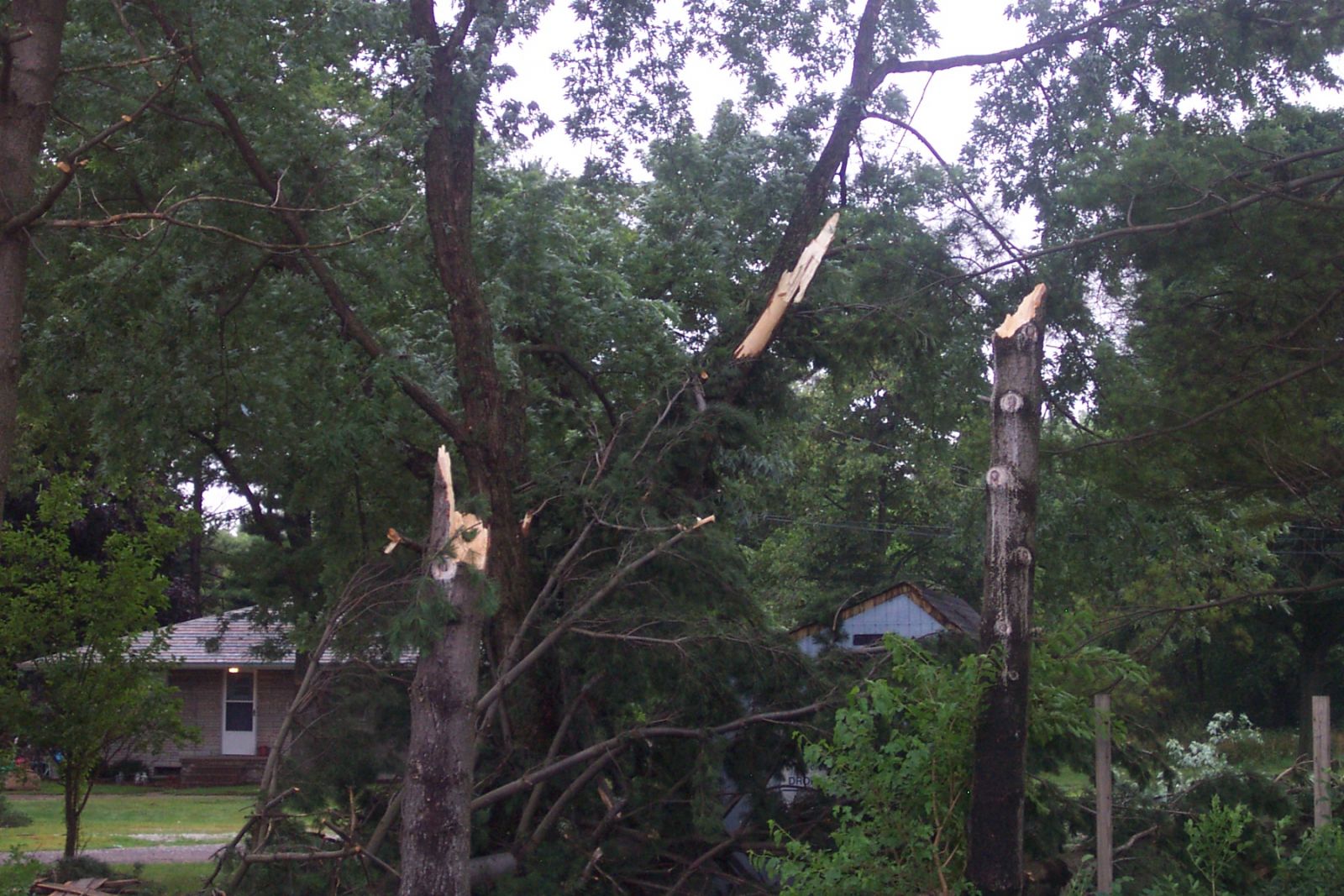
A National Weather Service storm survey team confirmed that an F0 tornado briefly touched down about 2 miles southwest of Granger, IN in northeast St. Joseph county around 737 pm EST on Saturday July 3, 2004. The tornado touched down near the intersection of Indiana Route 23 and Fir Road. According to witnesses, the tornado touched down and then lifted almost immediately. An F0 tornado produces winds of less than 73 mph.
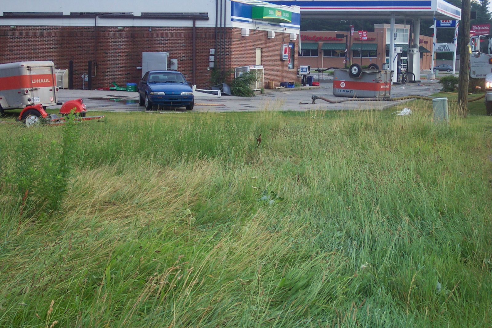
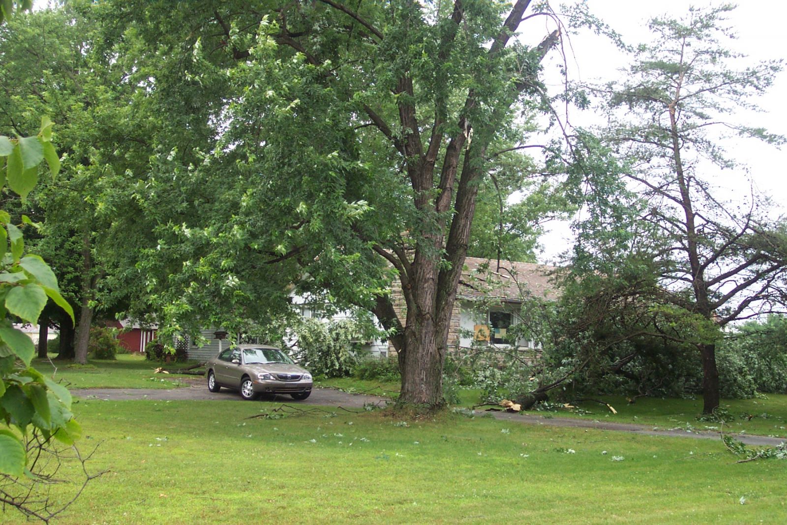
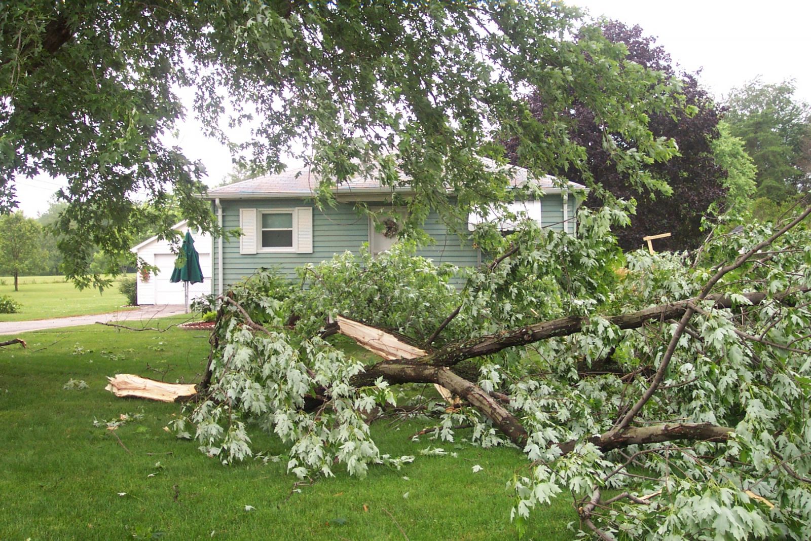
Much of the damage in the area of Granger was produced by strong straight line winds that also swept through the area at the same time as the tornado. These winds were caused by a narrow microburst (approximately 50 yards wide) associated with a line of thunderstorms. The straight line wind speeds were estimated at between 70 and 80 mph based on the damage they caused. The damage in the area consisted of downed tree limbs, signs, and damage to a few small structures. A swath of damage and debris was noted for approximately one and a half miles, starting near the intersection of Fir and CLeveland Roads and ending just north of the intersection of Fir and Brick Roads. More detail on damage can be found on the Damage Map.
For official storm data, contact the National Climatic Data Center. Please allow 2 to 4 months for the data to be compiled.
Pictures from the Intersection of Fir and Cleveland Roads.
 |
 |
 |
 |
 |
 |
|
Pictures From a Credit Union near Fir Road and Indiana Route 23
 |
 |
 |
 |
 |
 |
 |
 |
 |
Pictures at Fir Road and Indiana Route 23
 |
 |
 |
 |
 |
 |
 |
 |
Pictures near the Intersection of Fir and Brick Roads
 |
 |
 |
 |
 |
 |
 |
 |
Hazards
Heat Related
Watch/Warning
Outlook
Storm Prediction Center
Storm Reports
Submit a Report
Outdoor Event Watcher
EM Briefing
Current Conditions
Hourly Weather
Surface Observations
Regional Temps/Precip
Precip Reports
Satellite
Climate
CoCoRaHS
FWA Daily
SBN Daily
FWA Monthly
SBN Monthly
Cliplot
Spring Frost Climatology
Fall Frost Climatology
Severe Climatology
Tornado Climatology
Local Information
Public Information Statement
Probabilistic Snowfall
Storm Data
Skywarn
COOP
Our Office
WSR-88D
Headline Criteria
NOAA Weather Radio
Weather History
Social Media Feeds
Weather Events Page
US Dept of Commerce
National Oceanic and Atmospheric Administration
National Weather Service
Northern Indiana
7506 E 850 N
Syracuse, IN 46567
574-834-1104
Comments? Questions? Please Contact Us.

