NWS All NOAA
Portland, OR
Weather Forecast Office
Last Map Update: Sat, Aug 1, 2026 at 10:22:30 am PDT


 Forecast Discussion
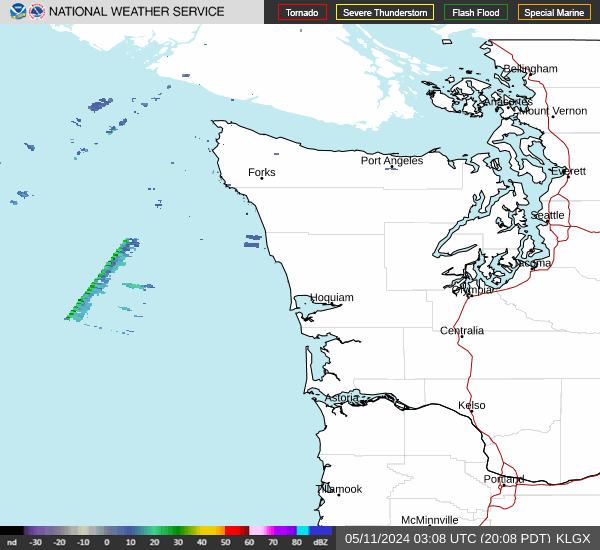 Langley Hill Radar
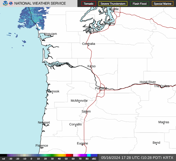 Portland Radar
  Satellite
 Rivers & Lakes
 Current Weather
 Graphical Forecasts
 Forecast, Hourly
 Submit Storm Report
 Experimental QPF Probability
 Experimental Winter Probability
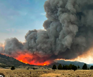 Fire Weather
 Aviation Weather
 Marine Weather
 Bar Obs & Cams
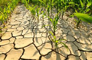 Drought Info
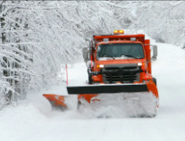 Road Conditions
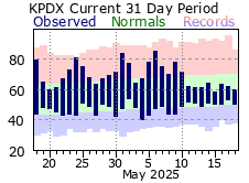 Climate Charts