National Weather Service United States Department of Commerce

Heavy Rains from the Plains to the East; Fire Weather Risk in the Desert Southwest

Thunderstorms, some severe, may produce heavy to excessive rainfall and isolated flooding over portions of the Southern Plains through Saturday. Widespread showers and thunderstorms will spread east into the Great Lakes, Ohio Valley, Mid Atlantic and Northeast. Dry conditions, combined with gusty winds will continue to support an elevated fire weather threat in the Desert Southwest. Read More >

Click a location below for detailed forecast.

Last Map Update: Fri, Apr 25, 2025 at 12:16:18 am MDT
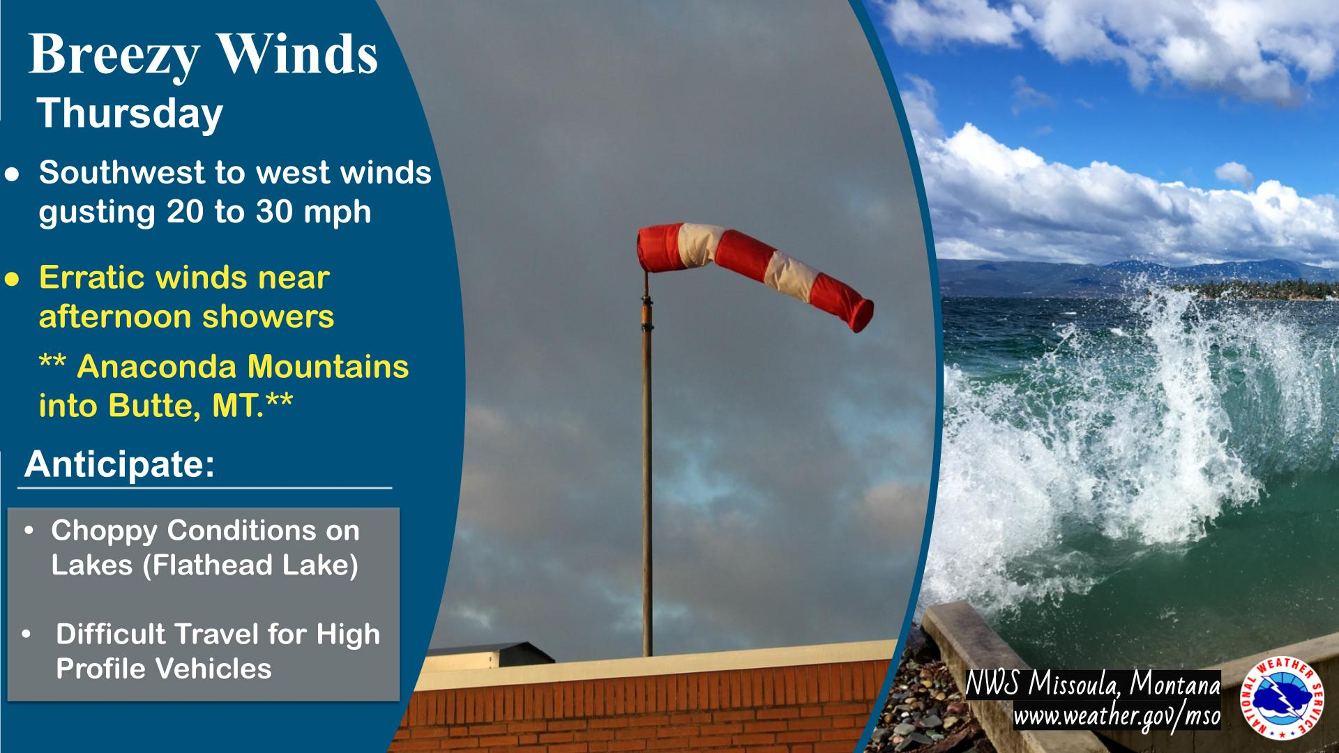
Gusty east winds will develop on Thursday, lasting into Friday morning. Most locations across western Montana and north central Idaho will see gusts 20 to 30 mph, with exposed higher terrain in western Montana seeing gusts of 35 mph. The main impact will be to small water craft on area lakes due to choppy conditions. If wind is a concern for you, continue to monitor the forecast and consider securing outdoor items.
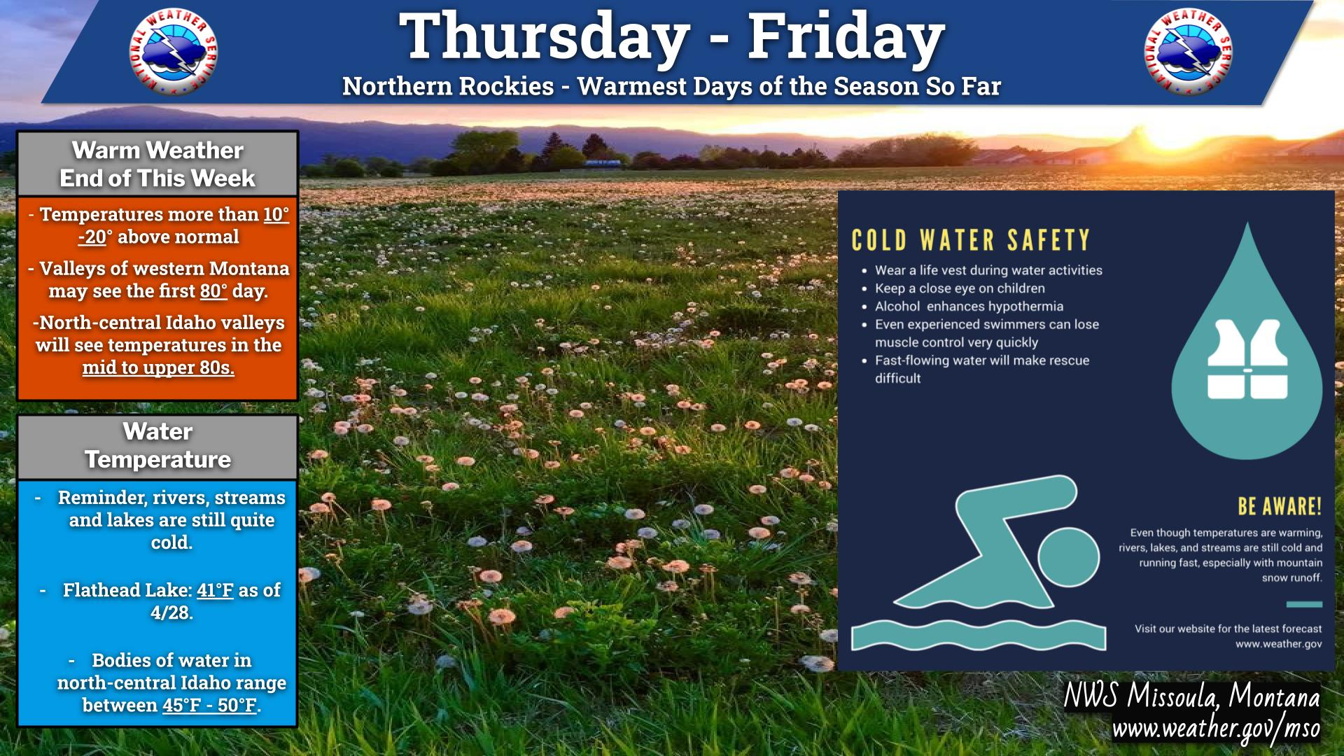
Warm and relatively dry conditions through Friday will be replaced by wet and cooler conditions by Sunday and Monday. Precipitation will favor west-central and southwest Montana as well and north central Idaho, while far northwest Montana near the Idaho Panhandle will likely miss out on most of the moisture. Snow levels will drop as low as 6500 feet by Monday morning allowing for some light snow accumulations in the higher terrain along the Continental Divide into southwest Montana.


Text Product Selector (Selected product opens in current window)