 |
| |
| A cluster of strong to severe thunderstorms developed across the Southern South Plains during the late afternoon and evening in conjunction with an upper level disturbance, stemming from a vigorous low pressure system coming onshore the coast of California. This feature helped to produce strong moisture advection into the South Plains region courtesy of stout southeast surface winds. |
| |
 |
| Water vapor imagery at 3:15 pm on Thursday, 14 May 2015. The pink to purple color south and west of West Texas corresponds to higher moisture content in the mid-upper levels of the atmosphere and is indicative of where the upper level disturbance is located. |
| |
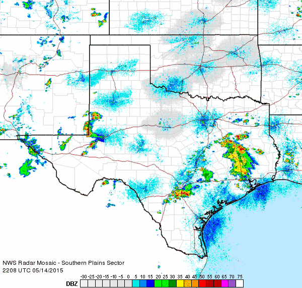
| These storms continued to expand in coverage and produce isolated severe wind and hail while moving northeast toward Lubbock. Outflow out ahead of this cluster brought wind gusts of near 50 mph to portions of the city behind a shelf cloud that pushed through from west to east. |
| |
 |
| Regional radar animation valid from 5:08 to 6:18 pm on Thursday, 14 May 2015. |
| |
 |
| Approaching shelf cloud from the NWS Lubbock office webcam. |
| |
| At the same time, a discrete supercell thunderstorm was able to ingest unperturbed warm and moist air east of this area of storms. The larger initial cluster of storms as well as the individual supercell can both be seen in the visible satellite image below, each denoted by the higher cloud tops jutting upward from the more expansive area of lower clouds. |
| |
 |
| Visible satellite imagery at 6:45 pm on Thursday, 14 May 2015. |
| |
| The supercell storm moved northeast just west of Post, before slowly drifting northeast across Garza County and producing reports of large hail and severe wind gust. This storm did produce a wall cloud, but its low level rotation was undercut by a stabilizing airmass as daytime heating came to an end. |
| |
 |
| Supercell thunderstorm just west of Post. Photo courtesy of Michael Isbell (Garza County Emergency Management Coordinator). |
| |
| Widespread flooding then occurred in Lubbock as three rounds of intense rainfall moved through. This resulted in multiple road closures and stranded vehicles, most notably over the southwestern side of town. Almost every major intersection between Milwaukee Avenue and Quaker Avenue was flowing with water, with the greatest impact being between 98th and 82nd Streets. Widespread rainfall amounts of one to two inches were common, while localized amounts of up to 2.5 inches of rain fell over the course of an hour and a half. |
| |
 |
| Flooding at Urbanovsky Park on the campus of Texas Tech University. Photo courtesy of Matt Mahalik. |
| |
| Flash flooding also impacted areas between Kalgary and White River Lake in southeast Crosby County through northeast Garza County where the above mentioned supercell remained nearly stationary through much of the evening. Radar estimated rainfall was as high as six to eight inches over a couple hour period. A NWS Storm Survey was conducted the following day, finding water still flowing across several Farm-to-Market roads as well as numerous areas of mud. One of these actually caused a road grader to become stuck while trying to remove mud off of a roadway near Kalgary. A high water rescue was also performed in this area the previous night. The abundant rainfall brought swiftly flowing water back to nearby portions of the Brazos River. |
| |
|
|
| Photos taken during an NWS Flood Survey near Kalgary (Crosby County) and White River Lake. From left to right: mud and high water along FM 40 just east of Highway 207 south of Ralls; a road grader stuck in mud while trying to clear road near Kalgary; and a swiftly flowing Brazos River along FM 1081 southwest of Spur. |
| |
| The map below shows the Local Storm Reports from Thursday May 14, 2015. A text listing of the preliminary storm reports for the date can be VIEWED HERE. |
| |


