|
Strong Winter Storm hits the South Plains area: |
||||||||||||
| A strong winter storm brought widespread snowfall, blowing snow, and very cold temperatures to the South Plains region late on the 23rd through early Christmas Eve. | ||||||||||||
|
|
||||||||||||
|
The aftermath - 8 am Christmas Eve morning. 4-5 inches of snow fell across southwest Lubbock. Drifts up to a foot or so made travel difficult
|
||||||||||||
|
Snowfall across the area was fairly evenly distributed. The area from the central South Plains to the far southeast Texas Panhandle received the most snowfall, while blowing snow created drifts of up to 4 feet. Due to all the drifting, measurement of the snowfall was difficult. Observers at Littlefield and Shallowater measured 7 inches. The wind speeds peaked around 60 mph during the event. To view a summary of the local storm reports from the 13th please click HERE. To view the Public Information Statement issued by the National Weather Service office please click HERE.
The storm system tracked out of the desert southwest and directly over the southern South Plains and northern Permian Basin-before turning northeast into Oklahoma. This track was very favorable to bring snow to much of our forecast area, as in general, precipitation/snowfall is greatest just to the north of the center of a closed circulation of a storm system of that type. The images below show a satellite and radar view of the storm early on the morning of the 24th. |
||||||||||||
 |
||||||||||||
| Water vapor channel image from the GOES-11/12 Satellites taken at 7 am, December 24th. Click on the image to view a larger version. Image courtesy Texas Commission on Environmental Quality. | ||||||||||||
|
|
||||||||||||
| Radar animatation around the height of the storm over Lubbock, from 3:08 am to 4:18 am on December 24th. | ||||||||||||
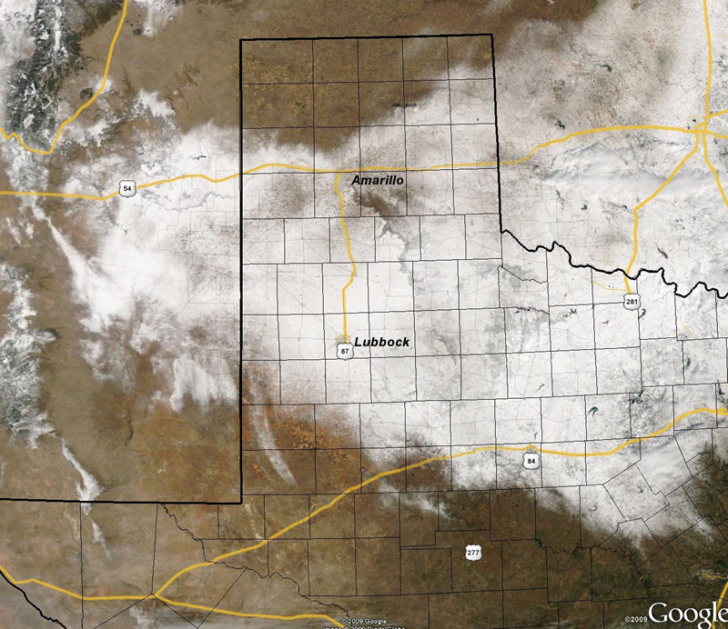
| The resulting swath of snow extended eastward from eastern New Mexico, gradually broadening across the TX Panhandle and South Plains and extending as far east as the DFW metroplex. The image below shows the snowfield as it appeared from space around midday on Christmas. | ||||||||||||
|
|
||||||||||||
|
NASA MODIS satellite image on December 25, 2009. Click on the image to view a larger version.
|
||||||||||||
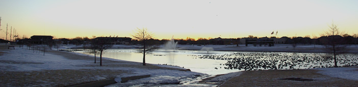
| The pictures below show some of the wintery scenes across the area. If you have a photo you would like us to include, please send it in an email to sr-lub.webmaster@noaa.gov. Click on any of the images to view a larger version. | ||||||||||||
|
||||||||||||
|
To view the report of this storm from the West Texas Mesonet Group at Texas Tech University please click HERE.
|
||||||||||||
|
|
||||||||||||
|
Christmas sunrise at Huneke Park
|
||||||||||||


