
Strong to severe thunderstorms may produce heavy to excessive rainfall over portions of the Central/Southern Plains and Mississippi Valley today. There is a Slight Risk (Level 2 of 4) for Excessive Rainfall and a Slight Risk (Level 2 of 5) for severe thunderstorms today. Elevated fire weather conditions are possible over parts of western Florida today. Read More >
Last Map Update: Thu, Apr 24, 2025 at 10:56:18 am PDT

|
Text Product Selector (Selected product opens in current window)
|
|


 Social Media - Click to view more
 Elko Radar
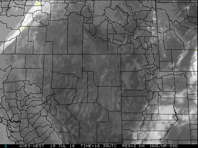 Regional Infrared Satellite Image
 National Weather Map - Click to enlarge
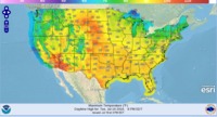 Gridded Forecast Image
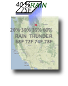 Forecast Weather Tables
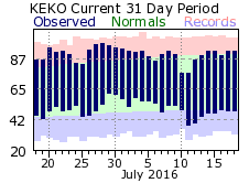 Recent LKN Temperatures
 Satellite-GOES
 Winter Weather