National Weather Service United States Department of Commerce


Ice Storm of February 1-2, 1996


Overview Surface/Upper Air Videos
Photos Radar Loop Other Links
 

Overview

On Thursday, February 1st, a cold air mass was already in place across much of the Southeast. Highs that afternoon were only in the 30s for most locations in north and central Alabama. By late afternoon and early evening, moisture from the Gulf of Mexico began to flow northward across the region ahead of a developing low pressure system off the Louisiana coast. The warm, moist air was lifted up and over the shallow layer of cold air in place near the surface. The result was a mix of freezing and frozen precipitation that fell across the northern half of Alabama from Thursday evening into Friday. The wintry precipitation ended across the state by Saturday morning.


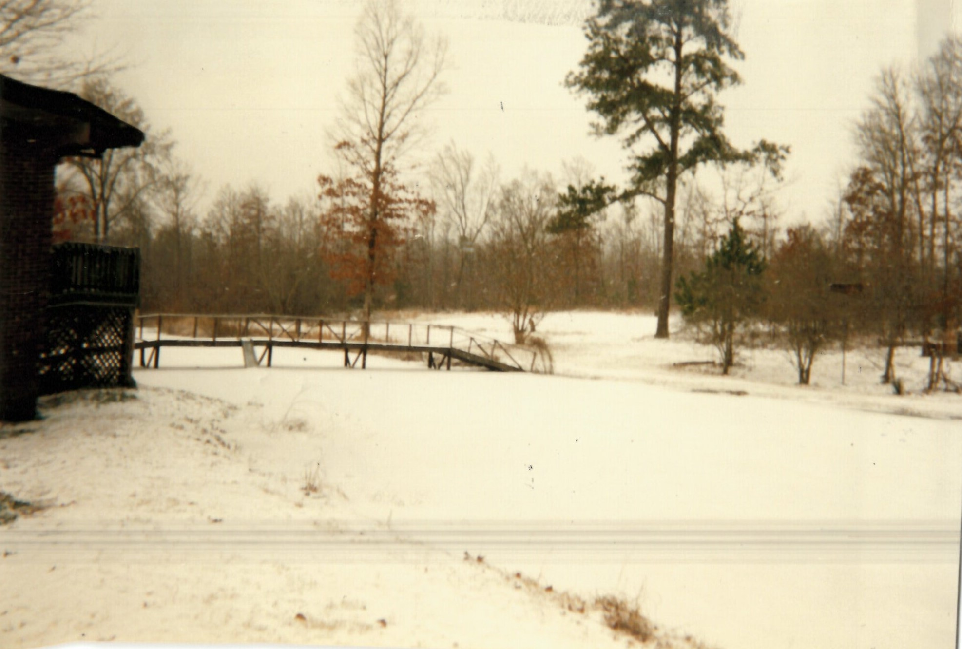
A period of freezing rain followed by light snow brought traffic to a complete standstill across north Alabama. Ice accumulations up to 1 inch downed numerous trees and caused power outages. A number of chicken houses in the northern part of the state collapsed under the weight of the ice and snow. Ice and snow accumulations varied widely with some of the highest amounts reported in the 1 to 3 inch range. Effects of the storm lingered into Monday and Tuesday when a number of school systems remained closed, primarily because of problems associated with travel. Temperatures also plummeted in the days that followed. High temperatures only rose into the teens for many locations from February 3rd-5th, with lows dropping into the single digits.


Surface/Upper Air

Surface Charts

Surface Chart

Feb 1st

Surface Chart

Feb 2nd


KBMX Upper Air Soundings

KBMX Sounding

6 AM Feb 1st

KBMX Sounding

6 PM Feb 1st

KBMX Sounding

6 AM Feb 2nd

KBMX Sounding

6 PM Feb 2nd

Upper Air Charts

250mb Chart

250 mb Chart at 6 AM Feb 1st

500mb Chart

500 mb Chart at 6 AM Feb 1st

850mb Chart

850 mb Chart at 6 AM Feb 1st

250mb Chart

250 mb Chart at 6 PM Feb 1st

500mb Chart

500 mb Chart at 6 PM Feb 1st

850mb Chart

850 mb Chart at 6 PM Feb 1st

250mb Chart

250 mb Chart at 6 AM Feb 2nd

500mb Chart

500 mb Chart at 6 AM Feb 2nd

850mb Chart

850 mb Chart at 6 AM Feb 2nd

250mb Chart

250 mb Chart at 6 PM Feb 2nd

500mb Chart

500 mb Chart at 6 PM Feb 2nd

850mb Chart

850 mb Chart at 6 PM Feb 2nd

 
Radar Loop
 

Radar Loop

 
Photos
 

Baileyton, AL
Courtesy of Tara Goggins

Baileyton, AL
Courtesy of Tara Goggins

Cottondale, AL
Courtesy of Eric T. Lewis

McCalla, AL
Courtesy of Renee Cayton

McCalla, AL
Courtesy of Renee Cayton

Huntsville, AL
Alabama Department of Archives and History
Donated by Alabama Media Group. Photo by Dave Dieter, Huntsville Times.

Huntsville, AL
Alabama Department of Archives and History
Donated by Alabama Media Group.
Photo by Michael A. Mercier, Huntsville Times.

Huntsville, AL
Alabama Department of Archives and History
Donated by Alabama Media Group. Photo by Alan Warren, Huntsville Times.


Videos


Other Links