A series of Pacific storm systems will continue to impact the western U.S. into this weekend with periods of strong to damaging winds, high surf, heavy lower elevation rain, and heavy mountain snow. Severe thunderstorms are expected Saturday from north-central Louisiana to west-central Alabama. Damaging winds, large hail, and strong tornadoes will be possible. Read More >
Bismarck, ND
Weather Forecast Office
 Ice continues to form and move through the Bismarck and Mandan stretch
of the Missouri River. As of late Thursday afternoon, ice continued
to move all the way down to the Hazelton boat ramp area. While this
suggests lots of storage remains for the ice pans, sooner...rather
than later, ice will start to accumulate where the river meanders
down by the University of Mary. Once ice occupies a continuous stretch
across the Missouri River in that area, it usually only takes about
one day to fill the river channel up through the Bismarck and Mandan area.
While it is impossible to predict exactly when the river through the
metro area will fill with ice, the effects of this freezing in of the
river are fairly well known.
Since 2010, once the river ice collects in the Bismarck and Mandan area,
the rise in the Missouri River ranges between 4.9 and 6.9 feet, with an
average rise of just over 6.0 feet. The Bismarck gage for the Missouri River
is currently right around 4.7 feet. This suggests if the river were to become
ice filled or covered, the Bismarck gage would rise to a maximum stage
between 9.6 and 11.6 feet. Minor Flood Stage, where problematic high water
begins, is defined as a stage of 14.5 feet as measured at the Bismarck gage.
Once the river starts to collect ice, the river can rise very fast and reach
its winter maximum in less than 24 hours.
Slightly warmer weather over the second full weekend of December is not going
to cease ice production. Instead, falling snow beginning Sunday evening and
into early next week will encourage more ice development. The icing in of
the river is likely to occur within the coming week, if not before.
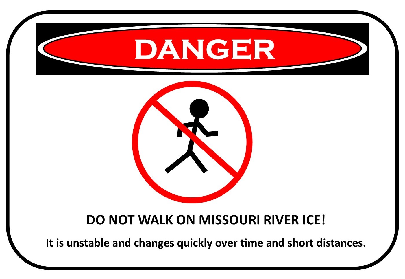
As a reminder, people should avoid walking on the Missouri River as
ice accumulates. The first ice on the Missouri River tends to be a collection
of small, unstable ice pans that can give way with no notice. Also, anyone
who notices damaging high water should report their observations to local
emergency management.
US Dept of Commerce
National Oceanic and Atmospheric Administration
National Weather Service
Bismarck, ND
2301 University Drive, Building 27
Bismarck, ND 58504
701-250-4224
Comments? Questions? Please Contact Us.

