Public Information Statement
National Weather Service Wilmington OH
1031 PM EST Thu Mar 2 2017
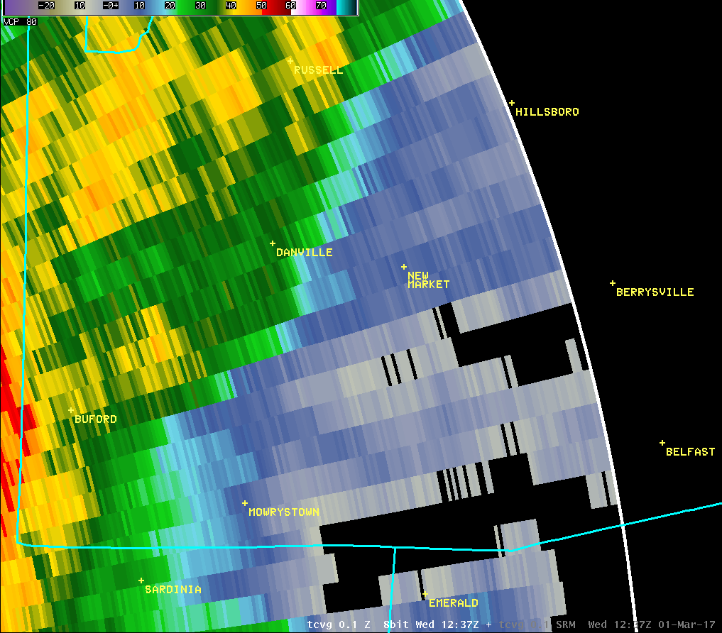
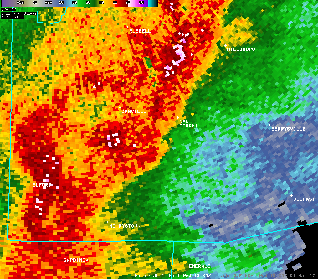
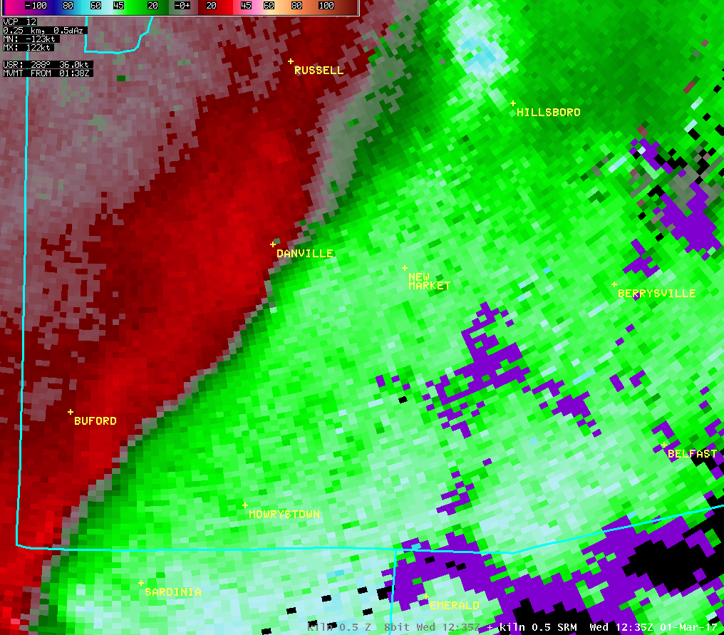
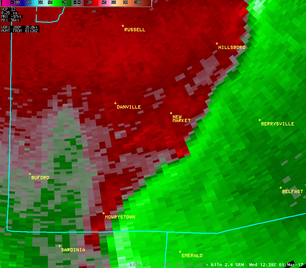
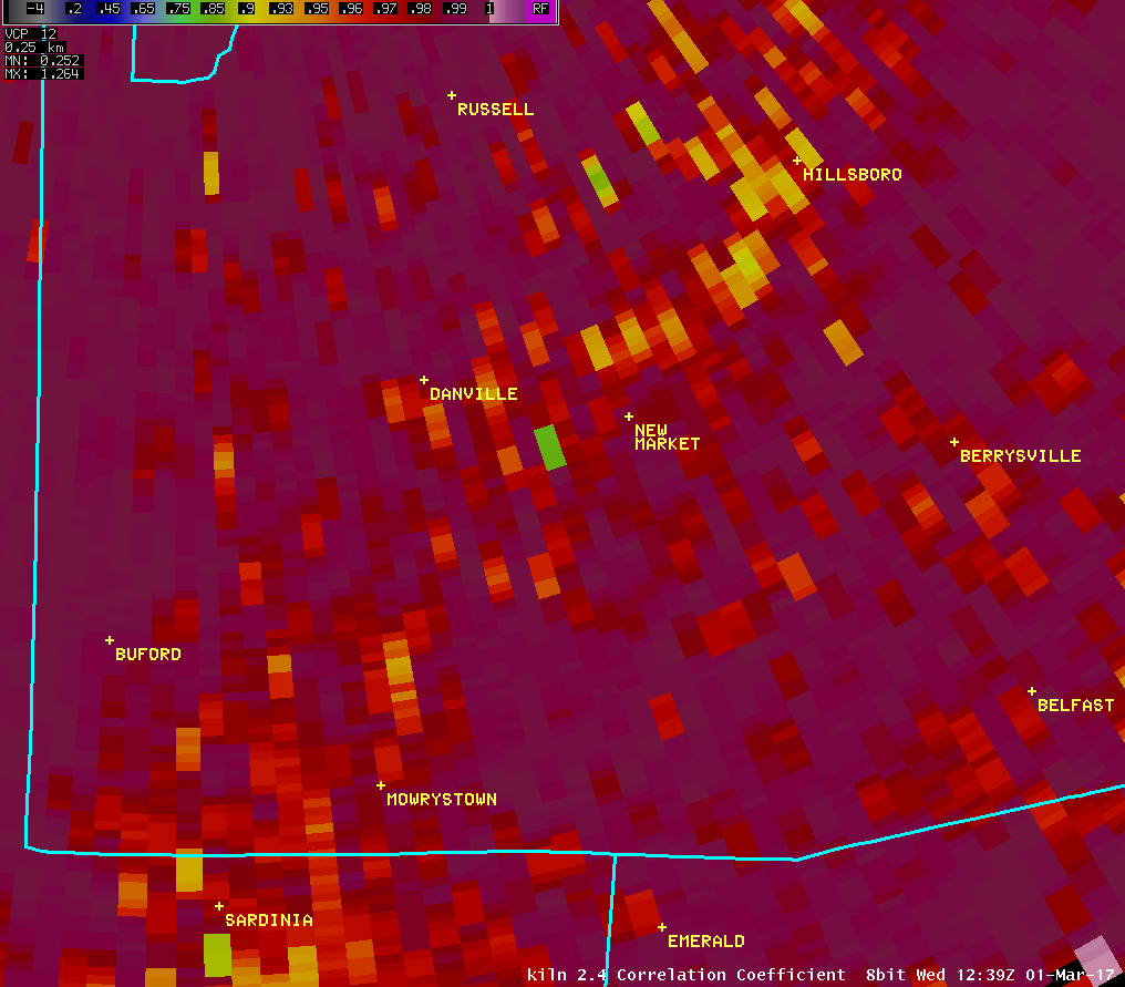
...Tornado Confirmed Near New Market in Highland County Ohio...
Location...New Market in Highland County Ohio
Date...March 1 2017
Estimated Start Time...739 AM
Estimated End Time...741 AM
Maximum EF-Scale Rating...EF1
Estimated Maximum Wind Speed...95 MPH
Maximum Path Width...150 Yards
Path Length...2.2 Miles
Beginning Lat/Lon...39.1078N / 83.6814W
Ending lat/Lon...39.0969N / 83.6431W
* Fatalities...0
* Injuries...0
* The information in this statement is preliminary and subject to
change pending final review of the event(s) and publication in
NWS Storm Data.
...Summary...
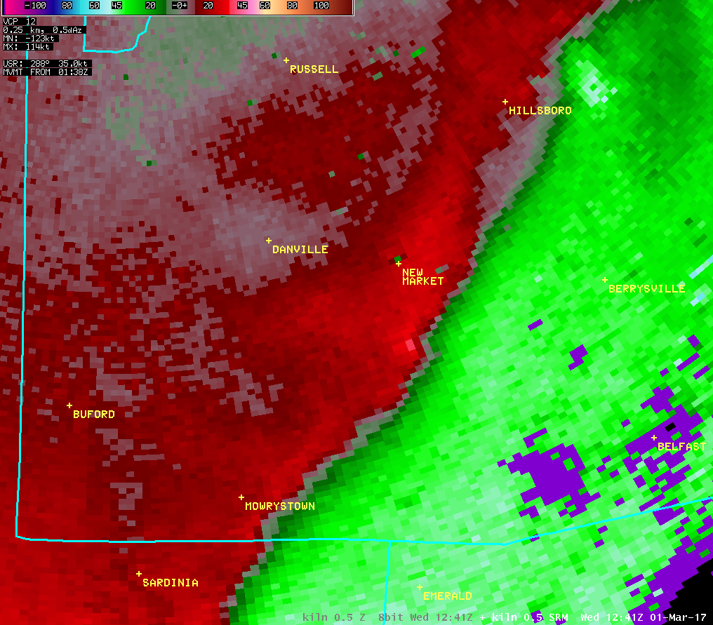
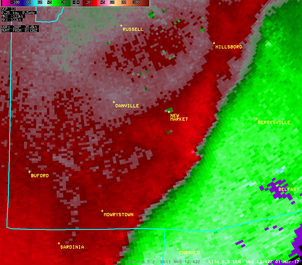
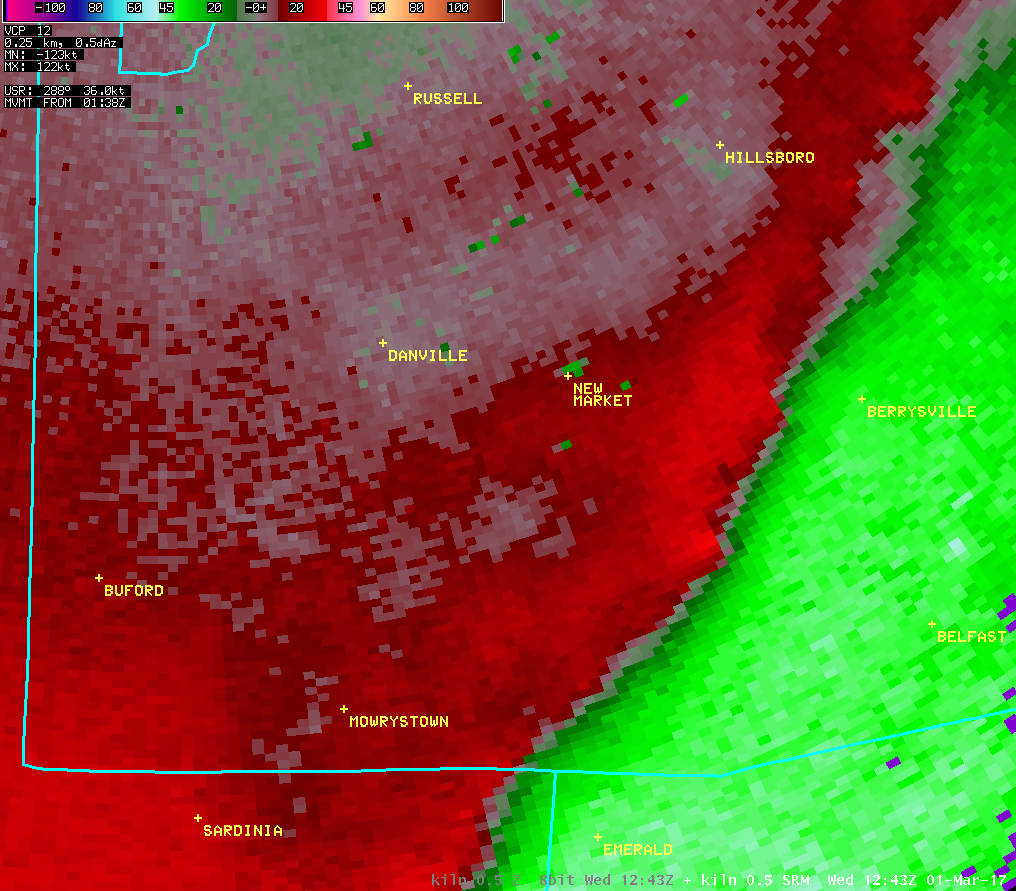
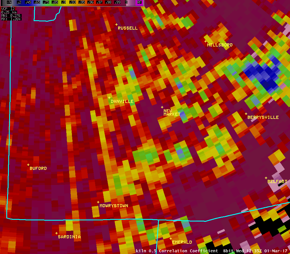
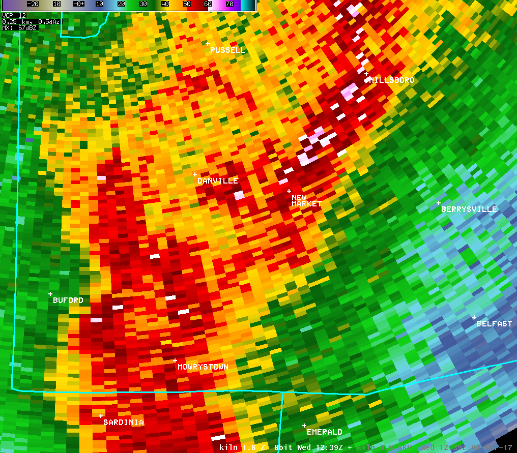
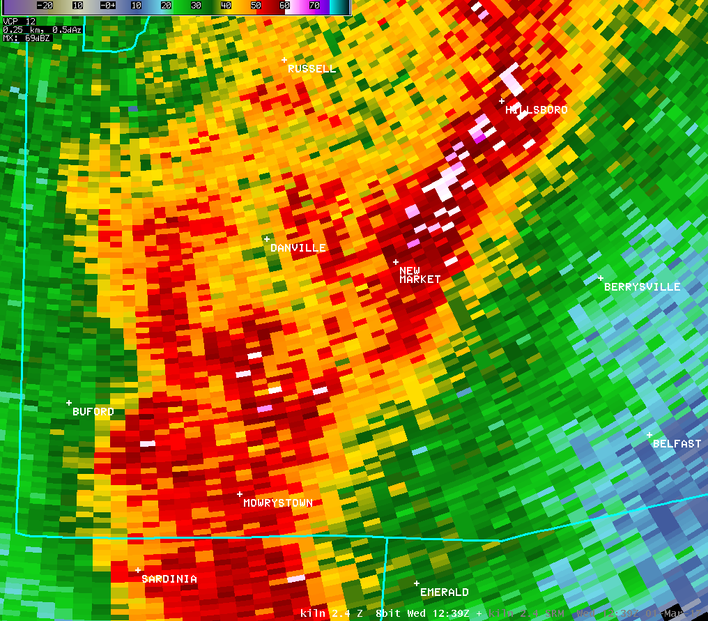
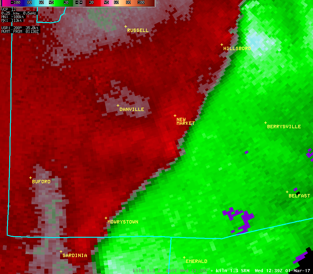
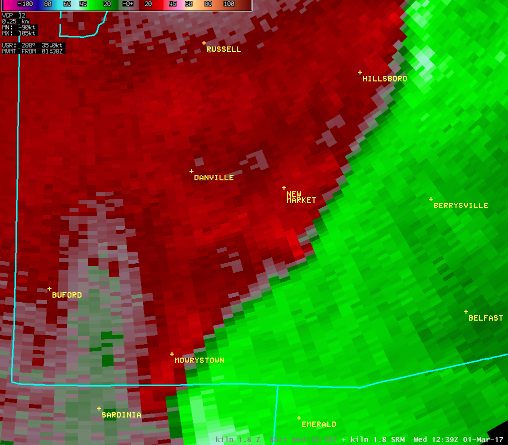
The National Weather Service in Wilmington OH has confirmed a
tornado near New Market in Highland County Ohio on March 1 2017.
At a location on Sanders Road just west of US Route 62, a barn
roof was significantly damaged, with roofing material thrown to
the east as much as a half mile away. A few trees were downed in
this area.
Damage was most significant at a dairy farm on State Route 136,
about 1.3 miles south of Millers Chapel Road. A large barn at this
property experienced a significant amount of roof damage,
including a total loss of the roof on the east side of the
structure. Insulation, wood beams, and sheet metal from this roof
were scattered across the property, and well into a field across
State Route 136. A roof was also removed from a dog kennel, and a
roof was partially removed from another barn at the property.
Other outbuildings had minor damage as well. The house at this
property sustained minor roofing damage and several broken
windows, with some damage (and partial removal) of siding. Mud
splatter was observed on several sides of both the main barn and
the house. Trees were snapped or downed at this property, as well
as along a tree line further to the west.
Tree damage occurred on Millers Chapel Road near the intersection
with Poole Lane. A few other trees were snapped in the field just
to the north of Poole Lane, but damage was not observed west of
the end point of Poole Lane.
For reference...the Enhanced Fujita Scale classifies tornadoes
into the following categories:
EF0...wind speeds 65 to 85 mph.
EF1...wind speeds 86 to 110 mph.
EF2...wind speeds 111 to 135 mph.
EF3...wind speeds 136 to 165 mph.
EF4...wind speeds 166 to 200 mph.
EF5...wind speeds greater than 200 mph.
$$
HATZOS/BPP
|

