|
Straight Line Winds and Hail in Adams County, OH |
PUBLIC INFORMATION STATEMENT NATIONAL WEATHER SERVICE WILMINGTON OH 233 PM EDT THU MAY 15 2014 ...STRAIGHT LINE WIND DAMAGE IN ADAMS COUNTY OHIO... THE NATIONAL WEATHER SERVICE IN WILMINGTON OH HAS CONCLUDED THAT TREE DAMAGE IN ADAMS COUNTY THAT OCCURED DURING THE SEVERE WEATHER OF MAY 14 2014 WAS STRAIGHT LINE WIND DAMAGE. FOR REFERENCE...STRAIGHT-LINE WINDS ARE GENERALLY ANY WIND THAT IS NOT ASSOCIATED WITH ROTATION...USED MAINLY TO DIFFERENTIATE THEM FROM TORNADIC WINDS. $$ |
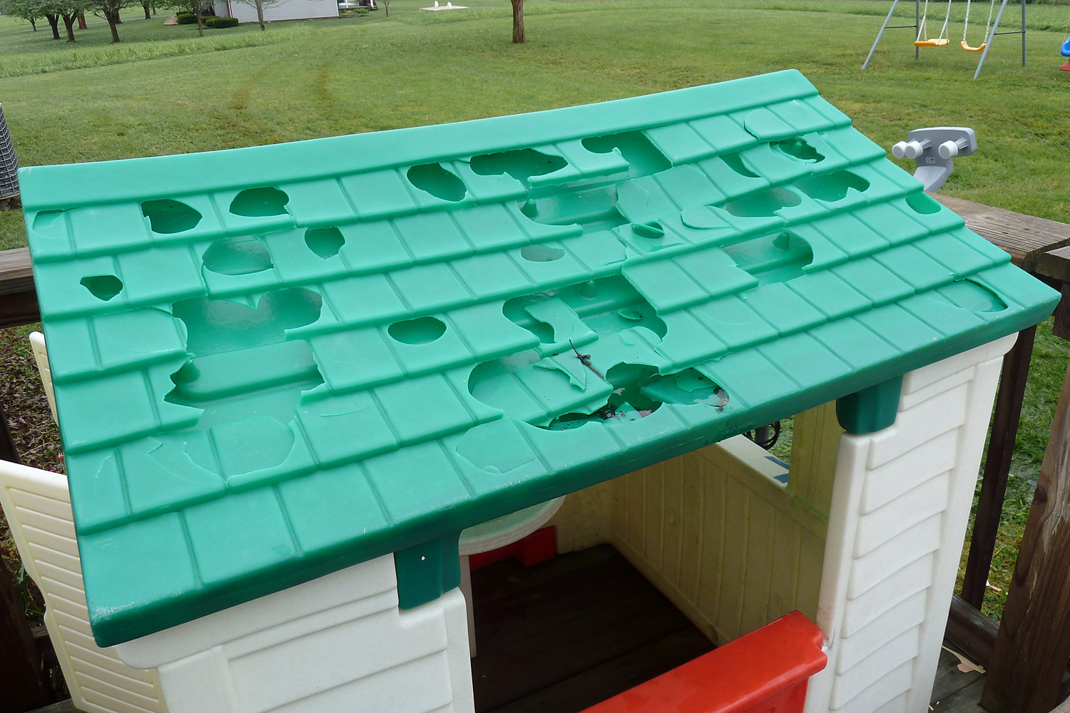
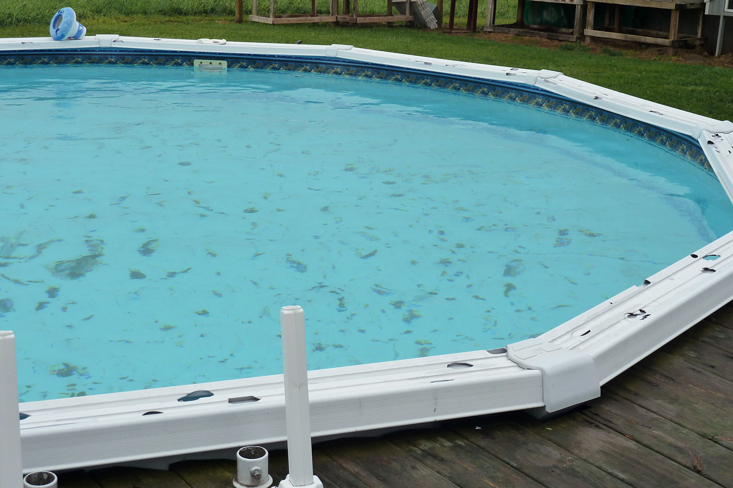
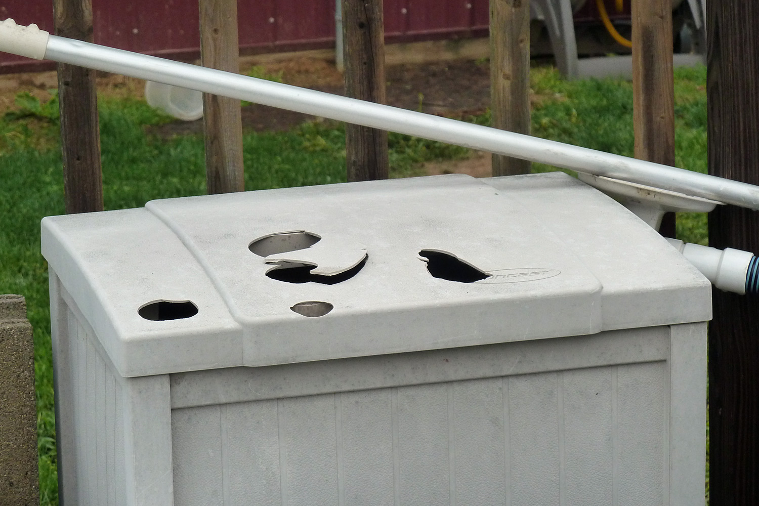
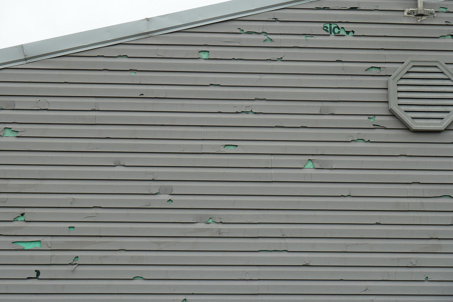
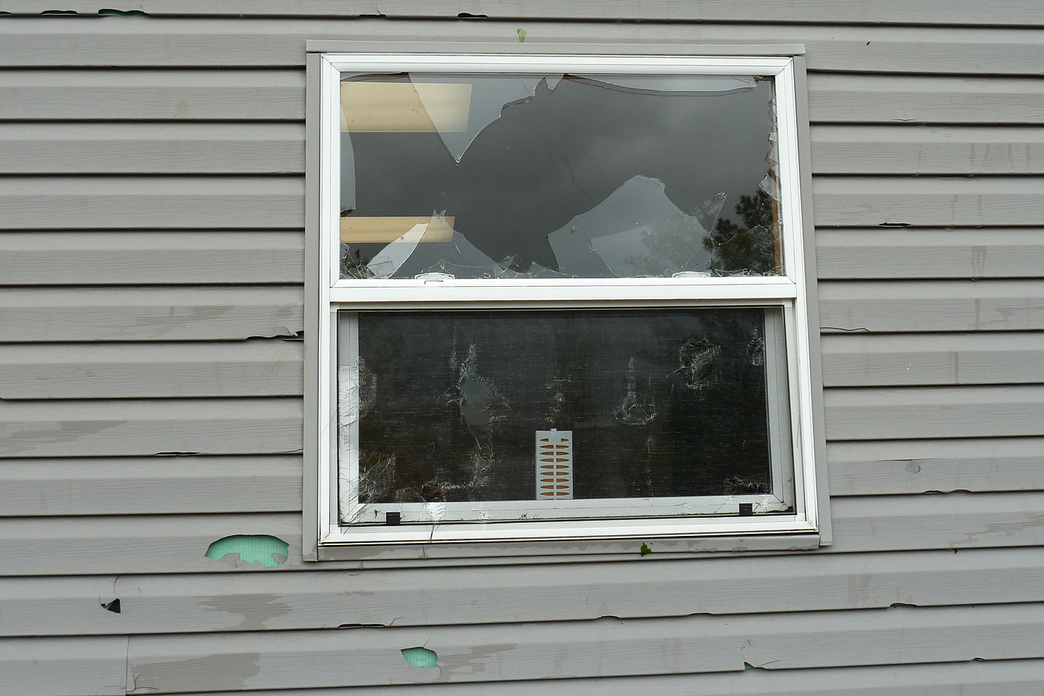
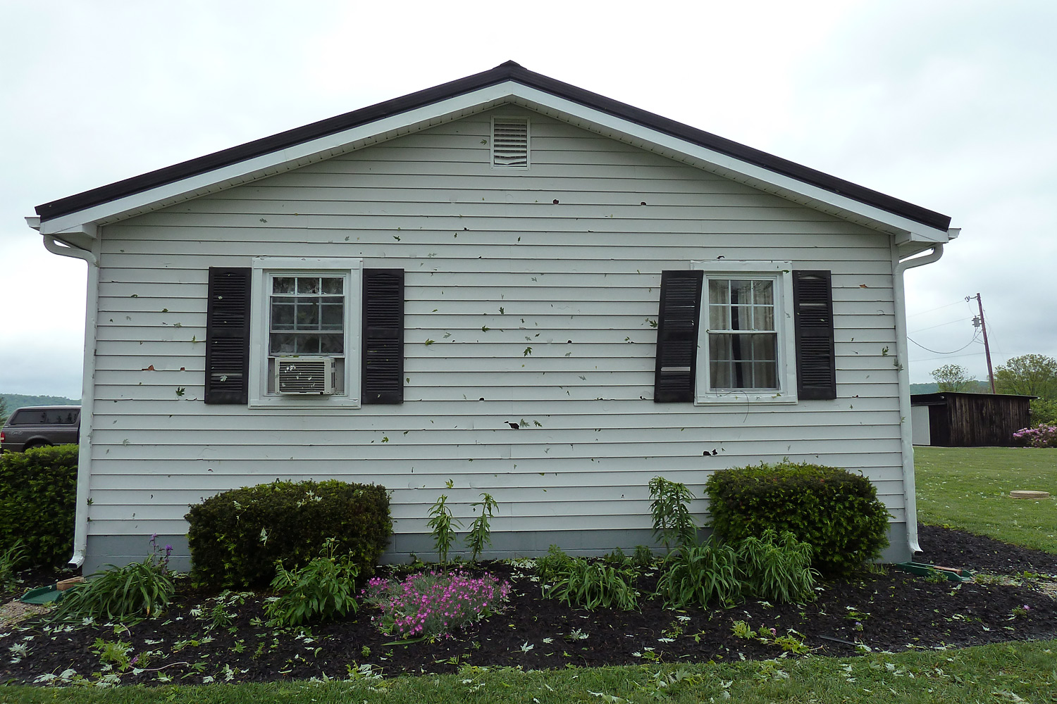
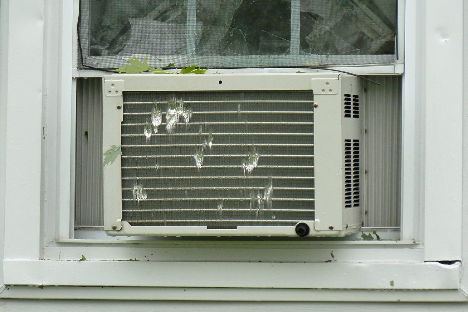
| Pictures from the storm survey: | |||
 |
 |
 |
 |
 |
 |
 |
|
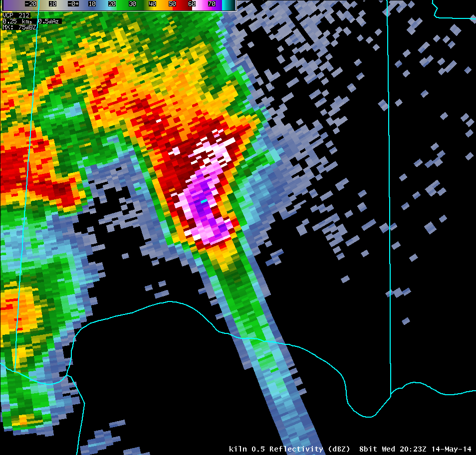
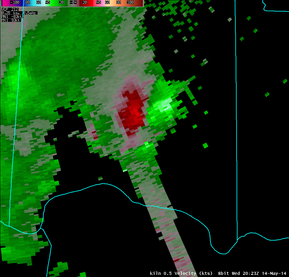
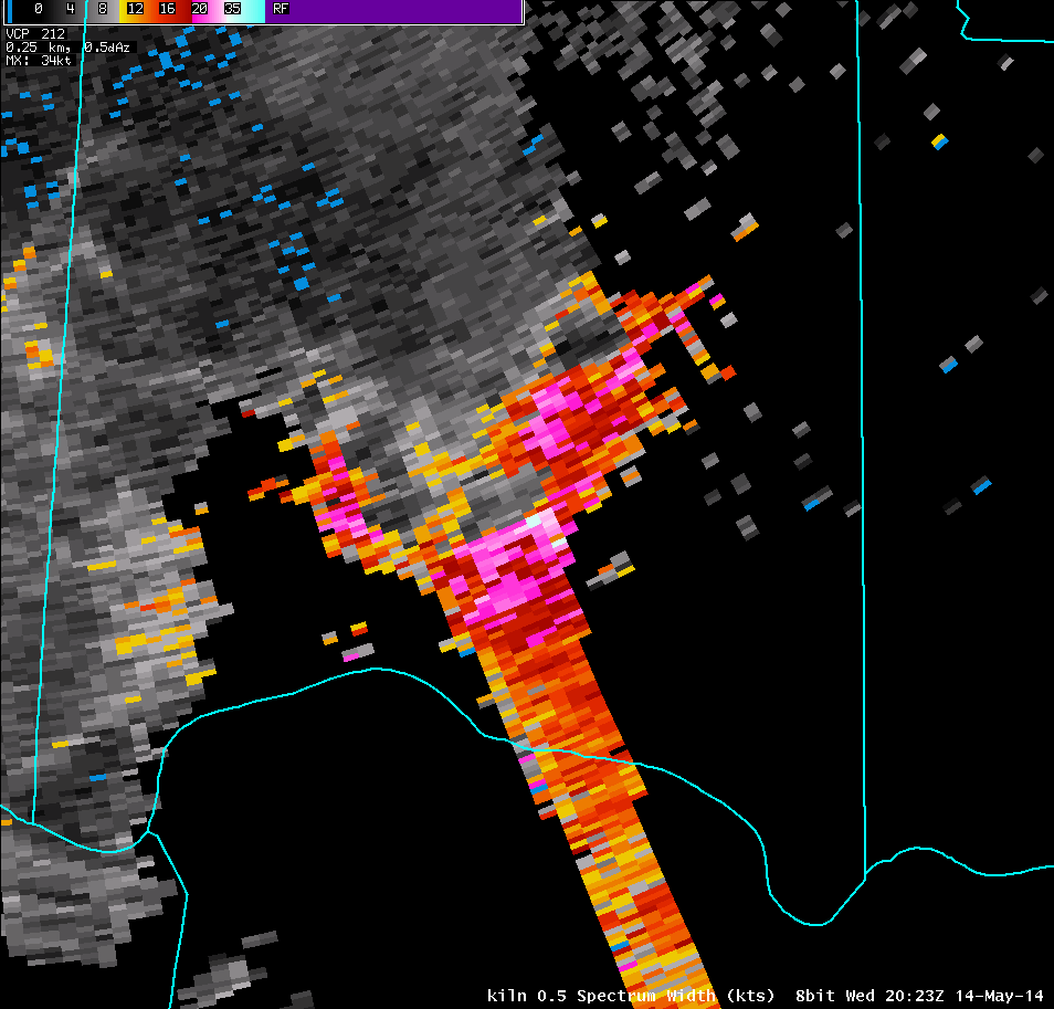
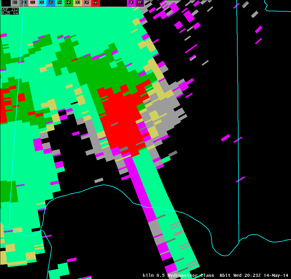
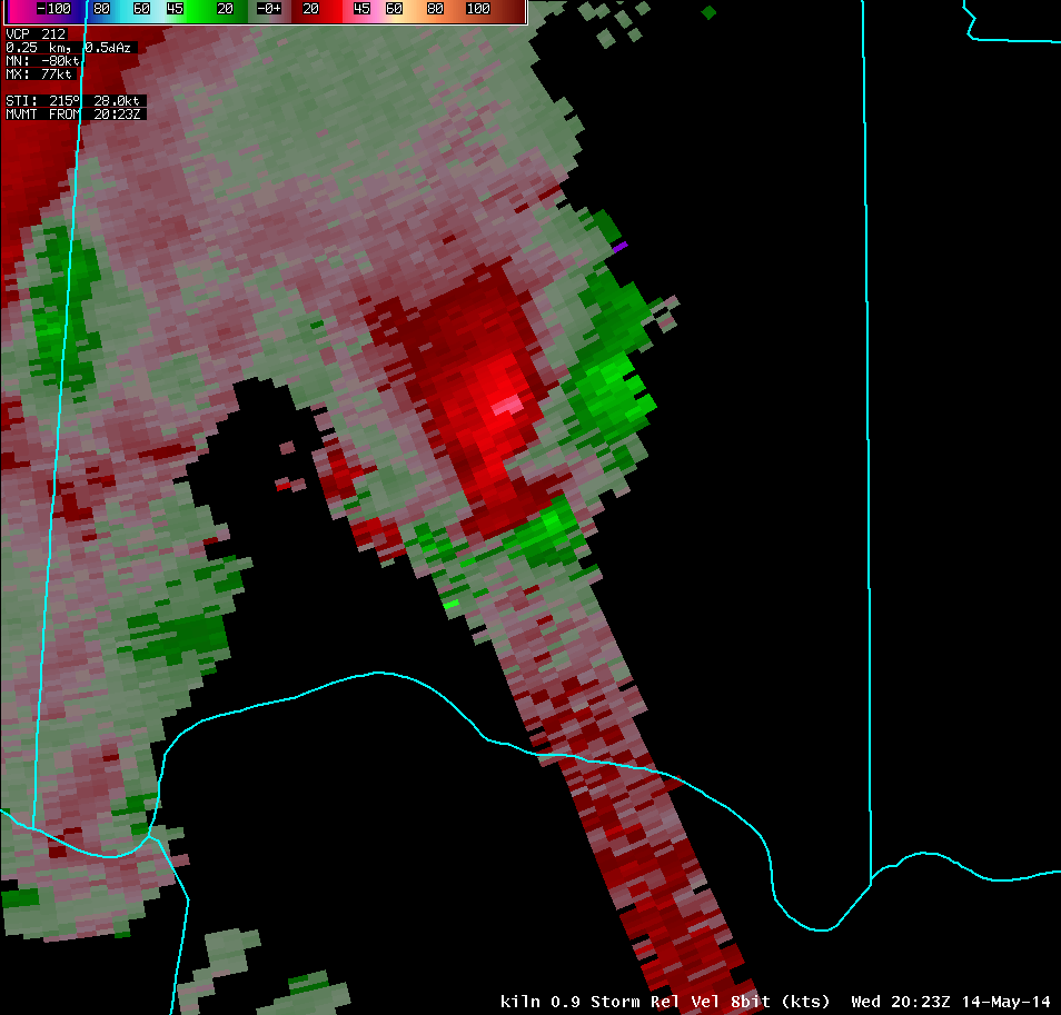
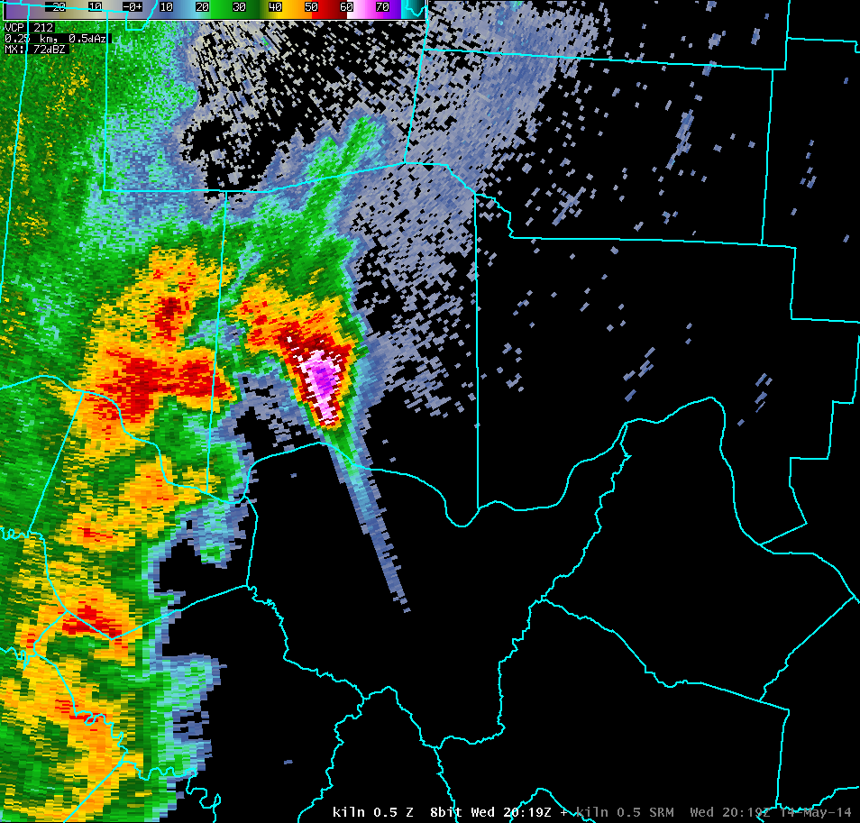
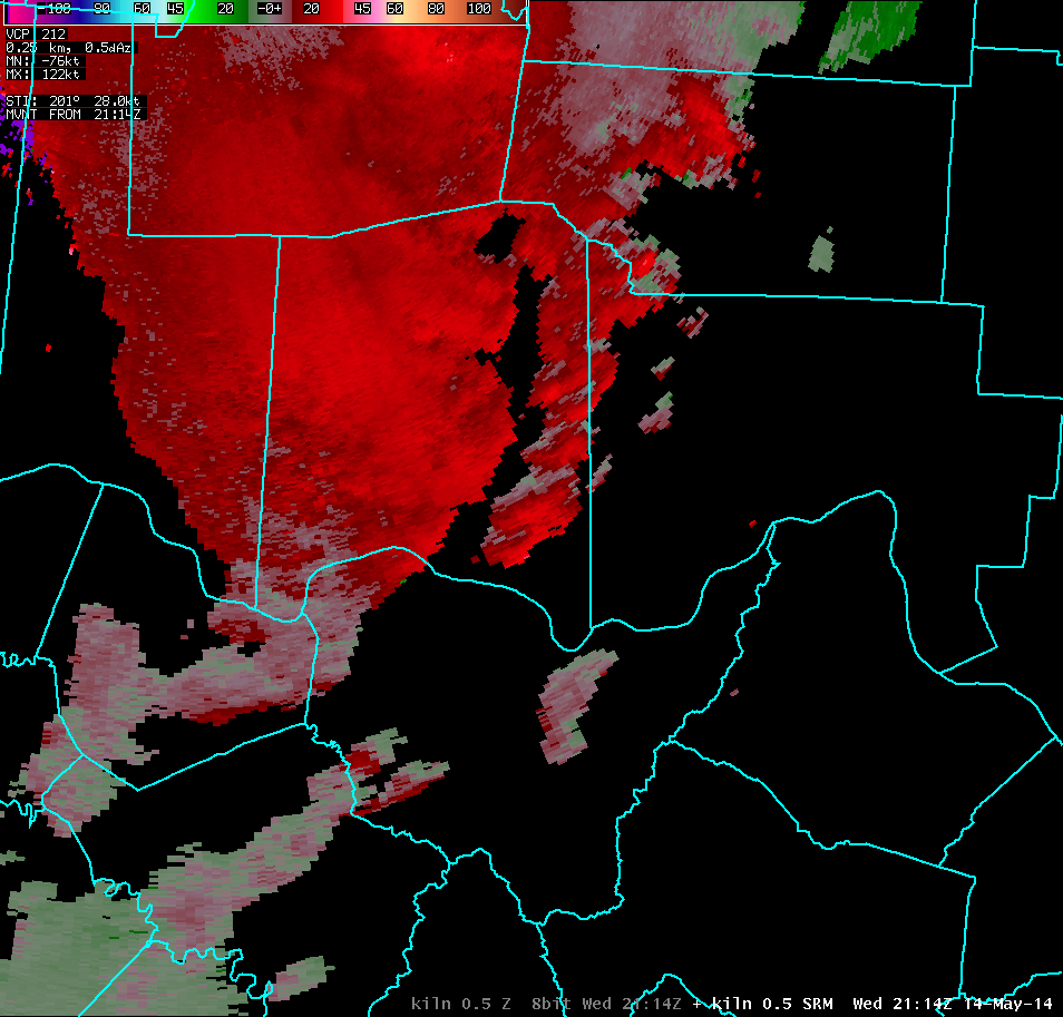
| Vertical Loop of KILN Radar Imagery near Peak Intensity (4:23 PM) | |||
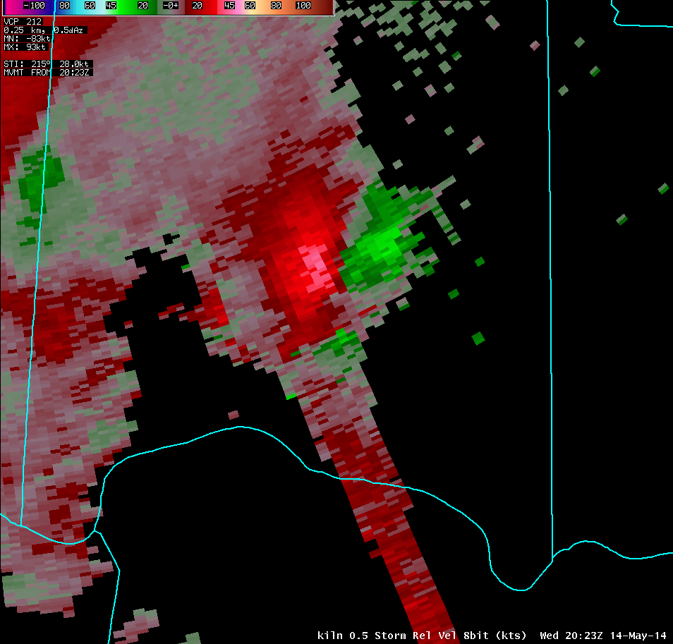
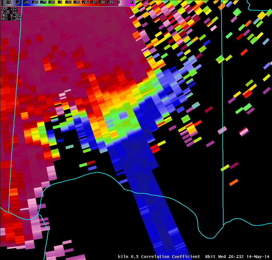
| 0.5° Reflectivity | 0.5° Storm-Relative Motion | 0.5° Correlation Coefficient | 0.5° Differential Reflectivity |
 |
 |
 |
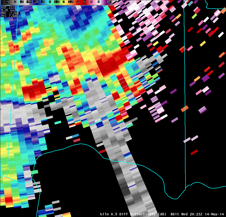 |
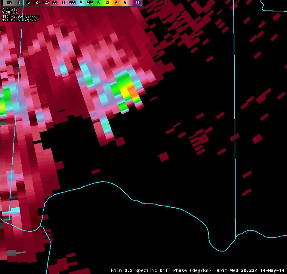
| 0.5° Specific Differential Phase | 0.5° Velocity | 0.5° Spectrum Width | 0.5° Hydrometeor Classification |
 |
 |
 |
 |
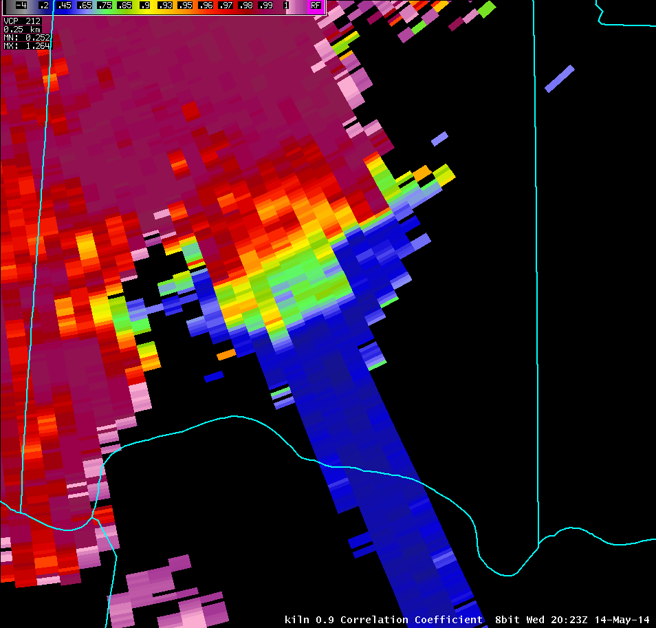
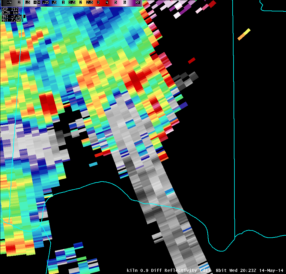
| 0.9° Reflectivity | 0.9° Storm-Relative Motion | 0.9° Correlation Coefficient | 0.9° Differential Reflectivity |
 |
 |
 |
 |
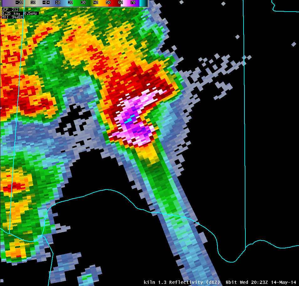
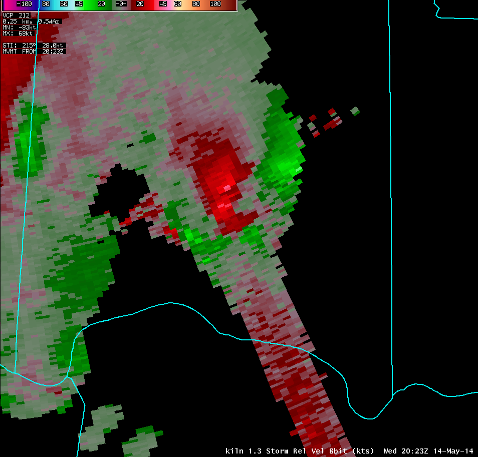
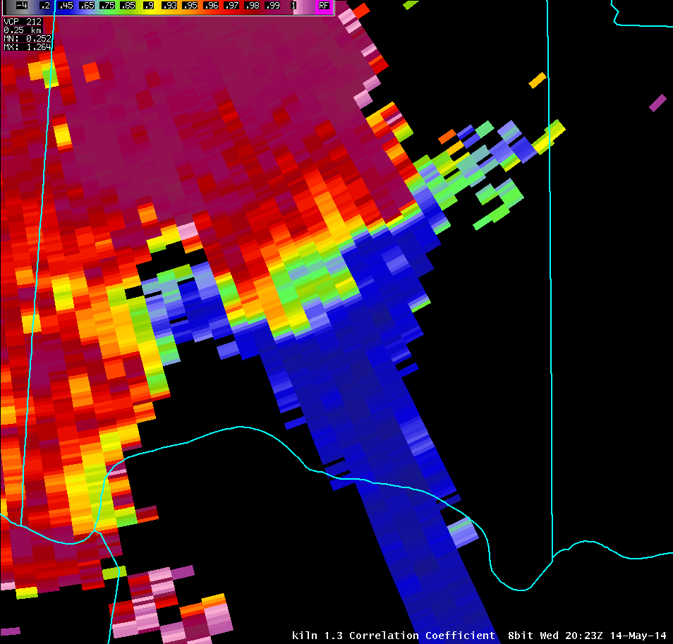
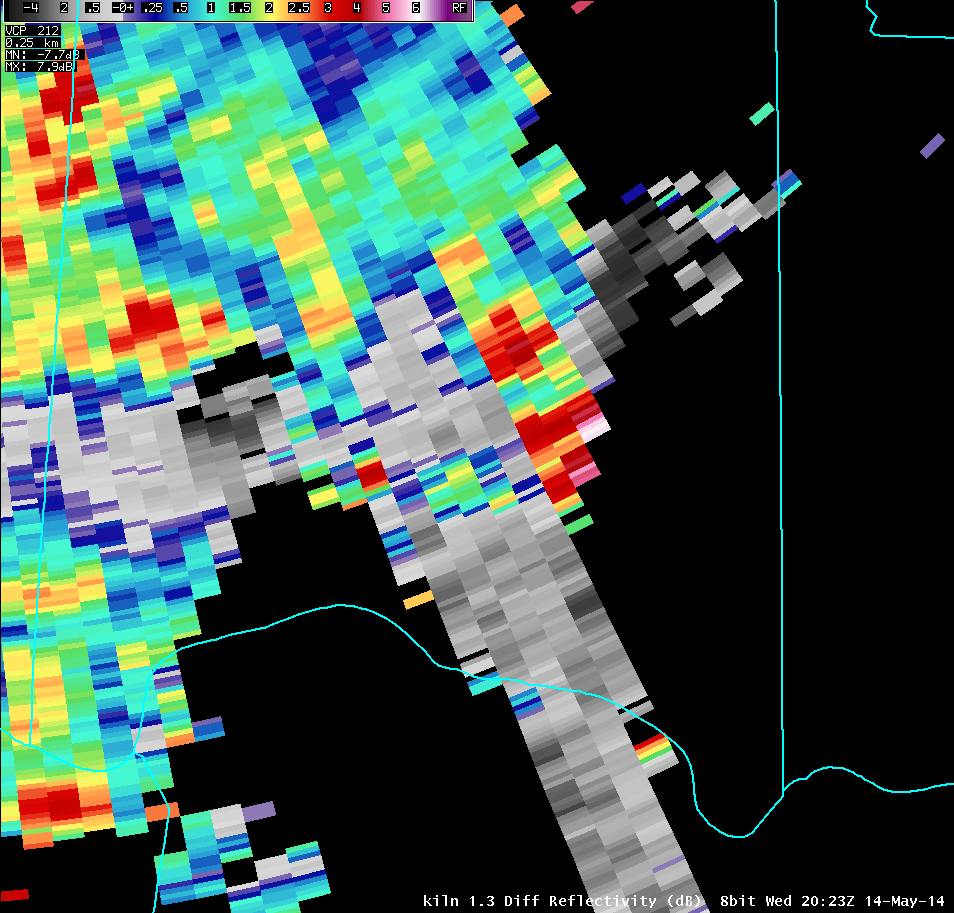
| 1.3° Reflectivity | 1.3° Storm-Relative Motion | 1.3° Correlation Coefficient | 1.3° Differential Reflectivity |
 |
 |
 |
 |
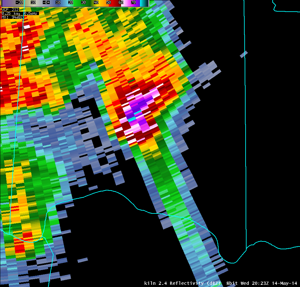
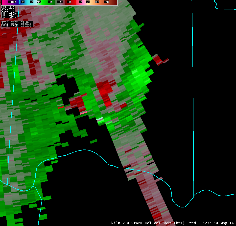
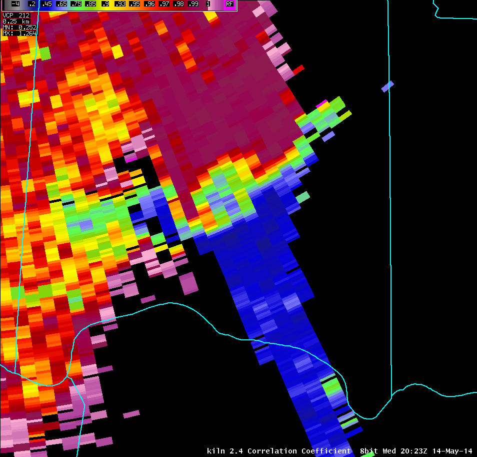
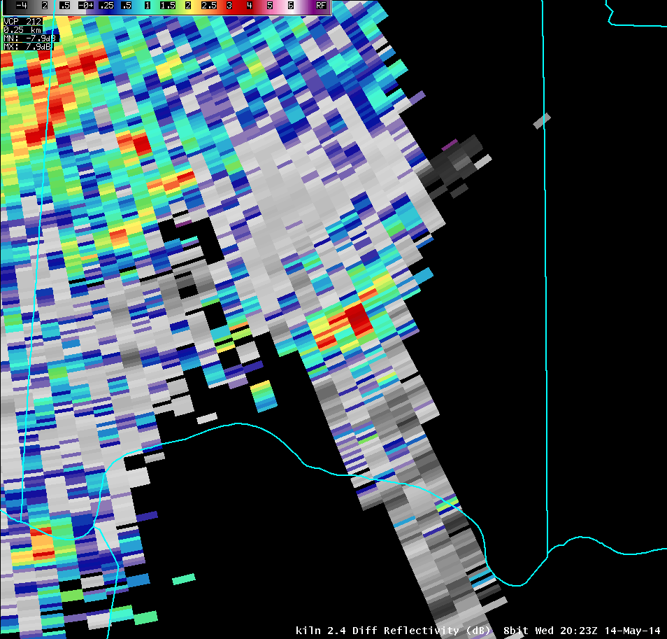
| 2.4° Reflectivity | 2.4° Storm-Relative Motion | 2.4° Correlation Coefficient | 2.4° Differential Reflectivity |
 |
 |
 |
 |
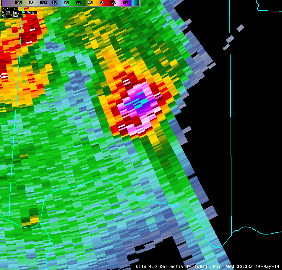
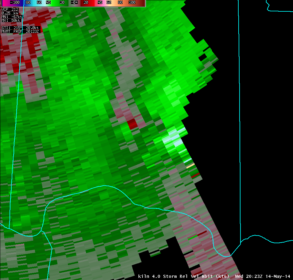
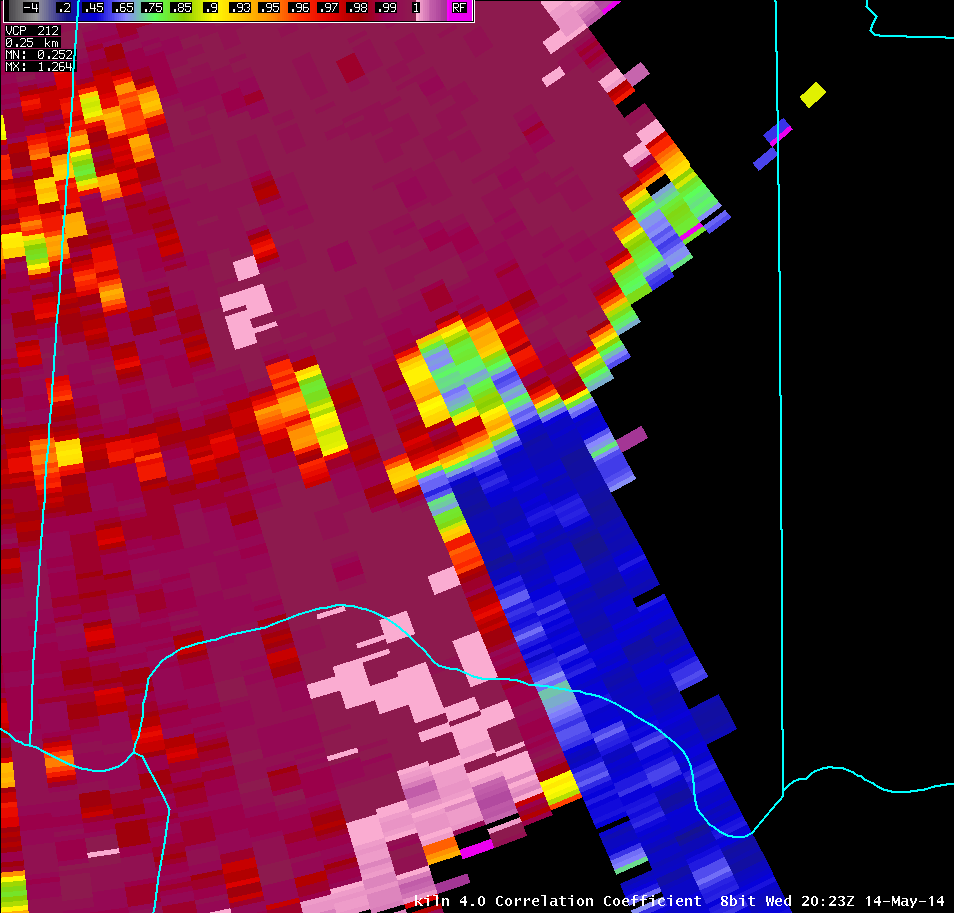
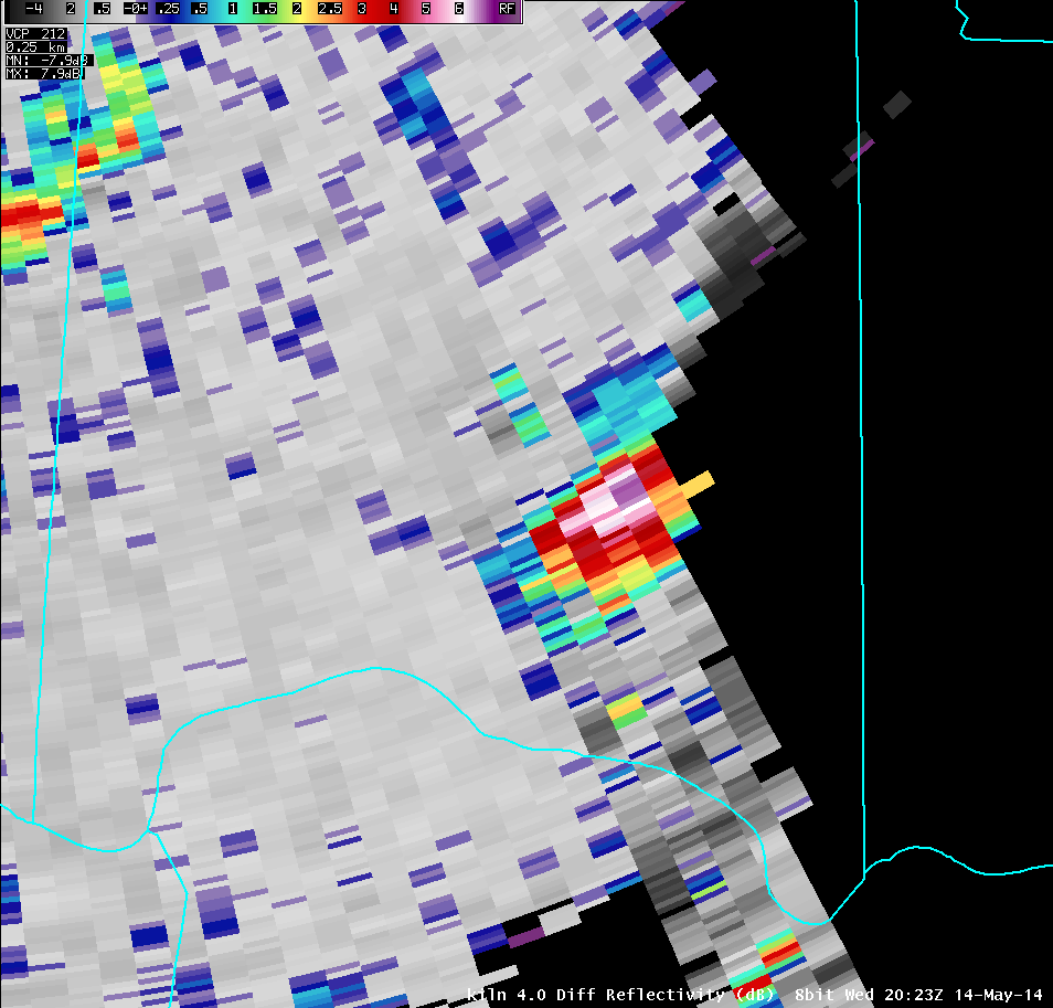
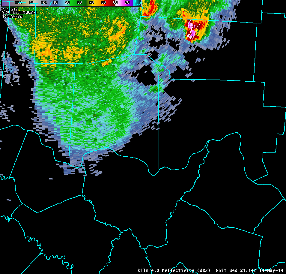
| 4.0° Reflectivity | 4.0° Storm-Relative Motion | 4.0° Correlation Coefficient | 4.0° Differential Reflectivity |
 |
 |
 |
 |
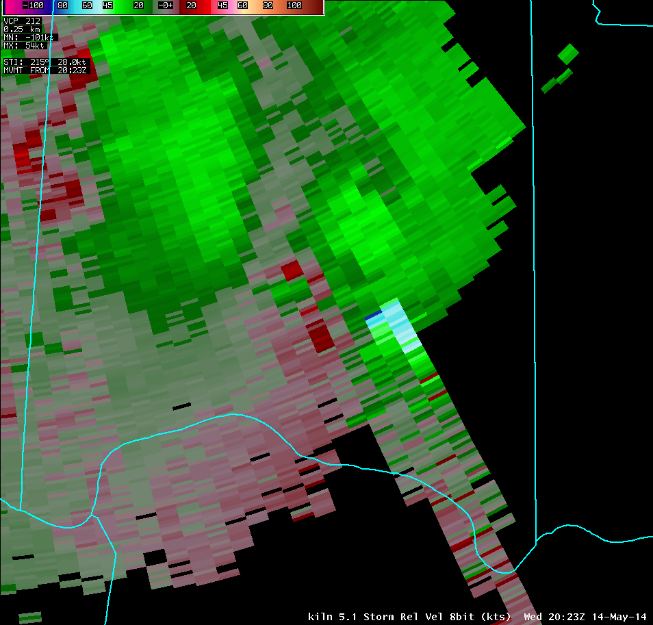
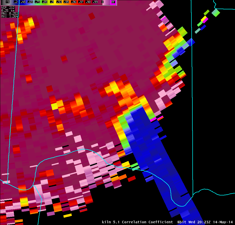
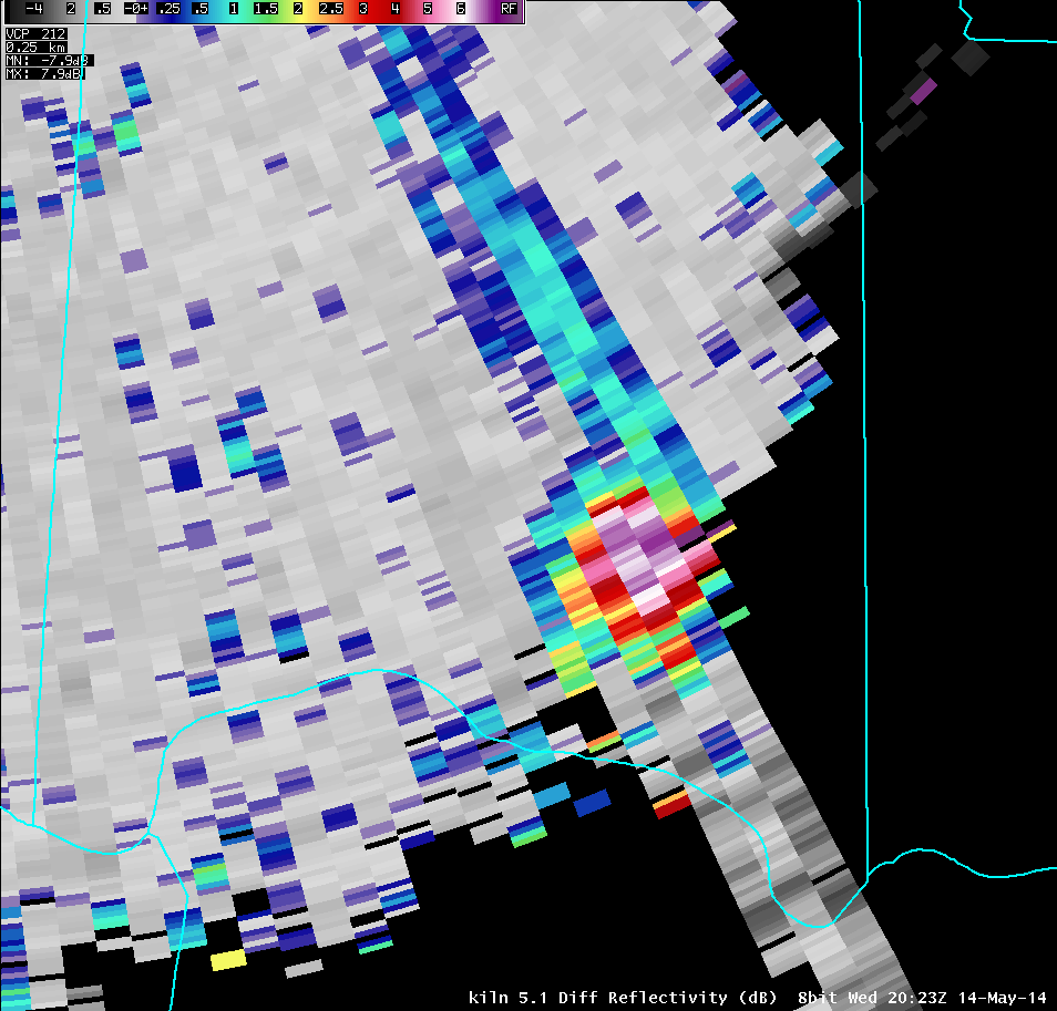
| 5.1° Reflectivity | 5.1° Storm-Relative Motion | 5.1° Correlation Coefficient | 5.1° Differential Reflectivity |
 |
 |
 |
 |
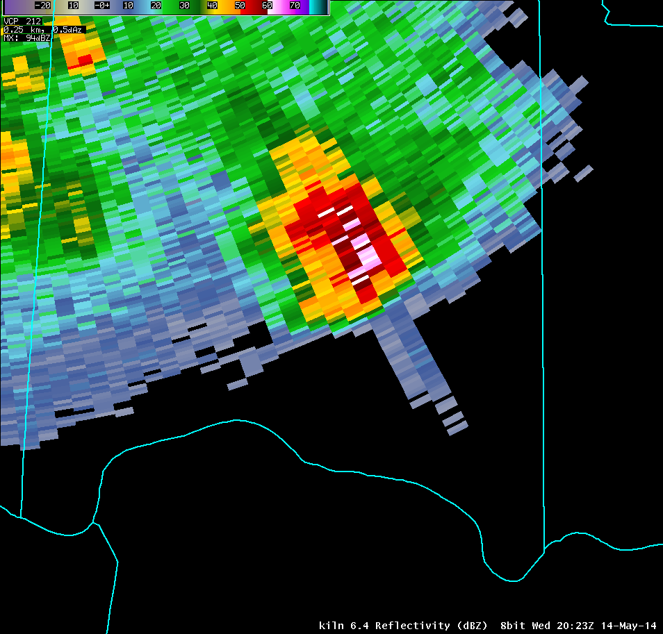
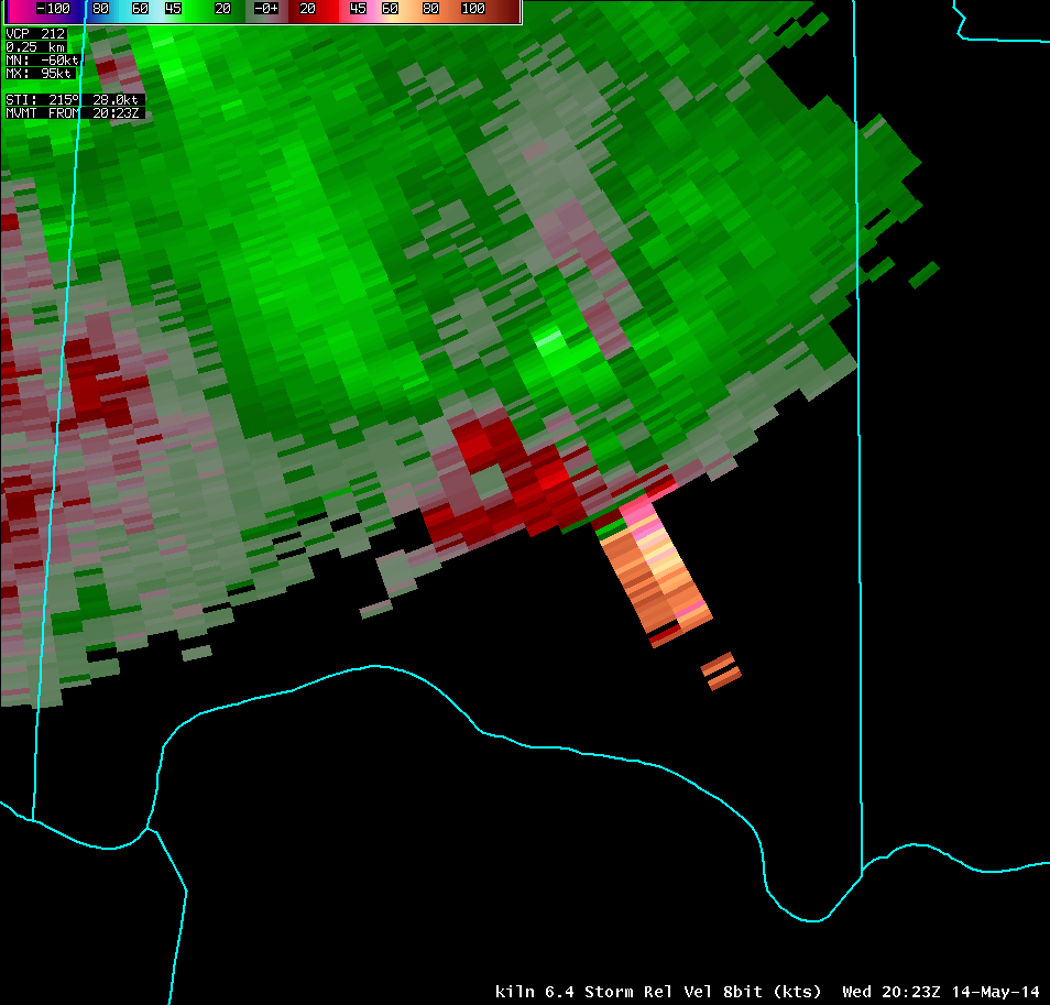
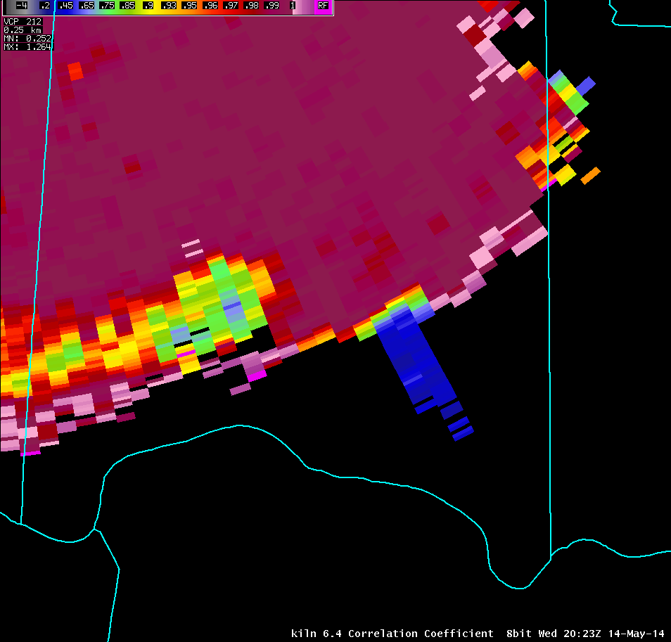
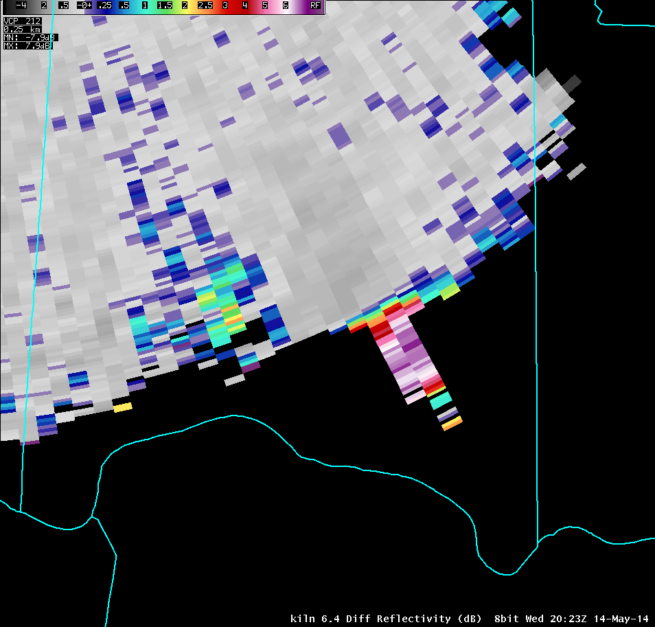
| 6.4° Reflectivity | 6.4° Storm-Relative Motion | 6.4° Correlation Coefficient | 6.4° Differential Reflectivity |
 |
 |
 |
 |
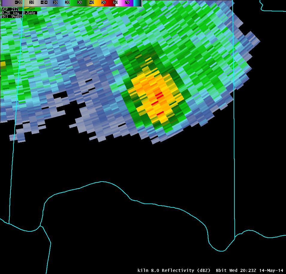
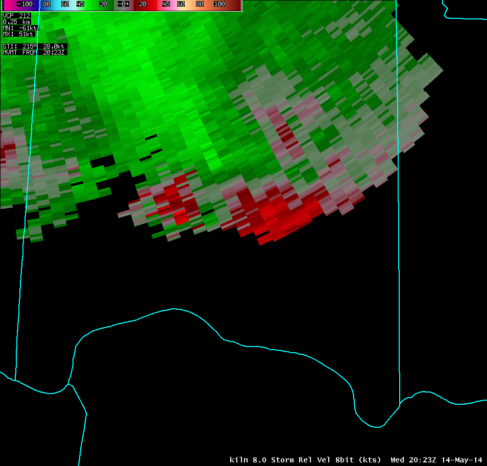
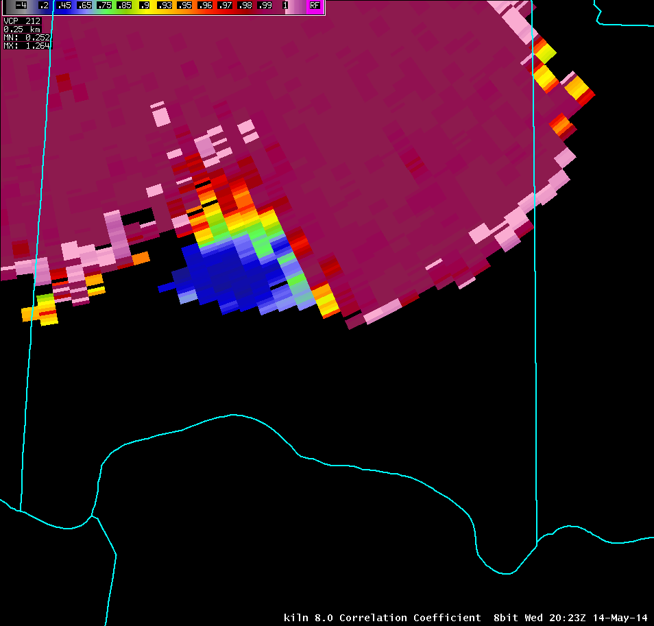
| 8.0° Reflectivity | 8.0° Storm-Relative Motion | 8.0° Correlation Coefficient | 8.0° Differential Reflectivity |
 |
 |
 |
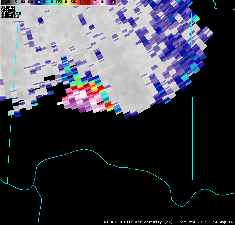 |
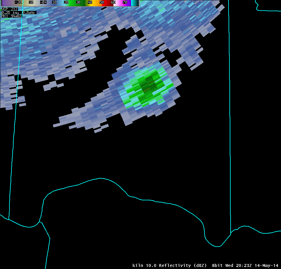
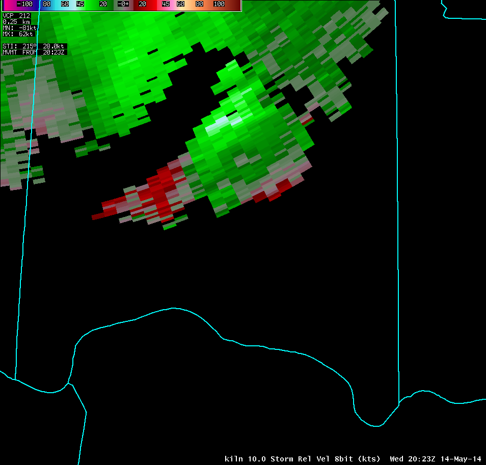
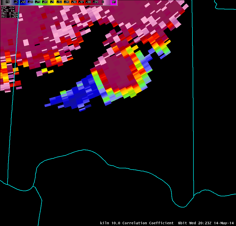
| 10.0° Reflectivity | 10.0° Storm-Relative Motion | 10.0° Correlation Coefficient | 10.0° Differential Reflectivity |
 |
 |
 |
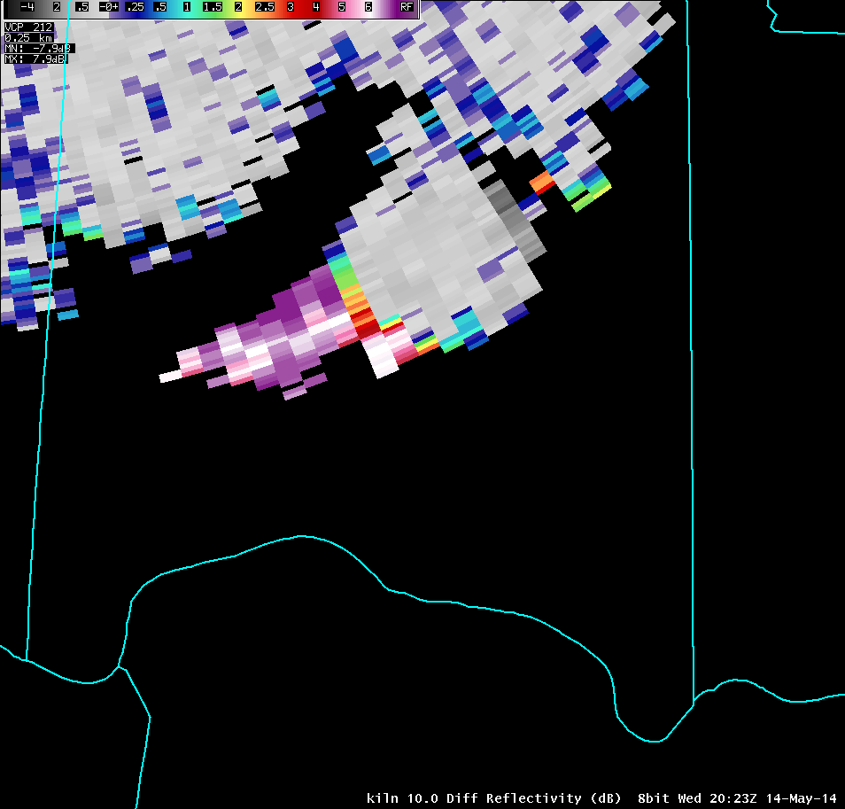 |
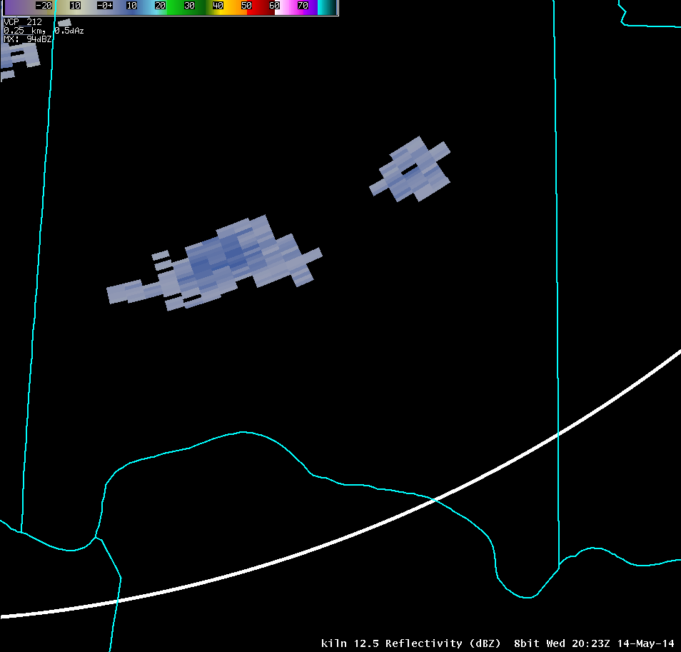
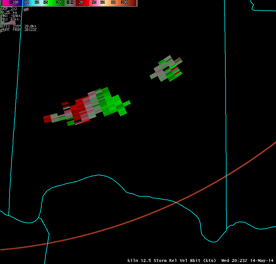
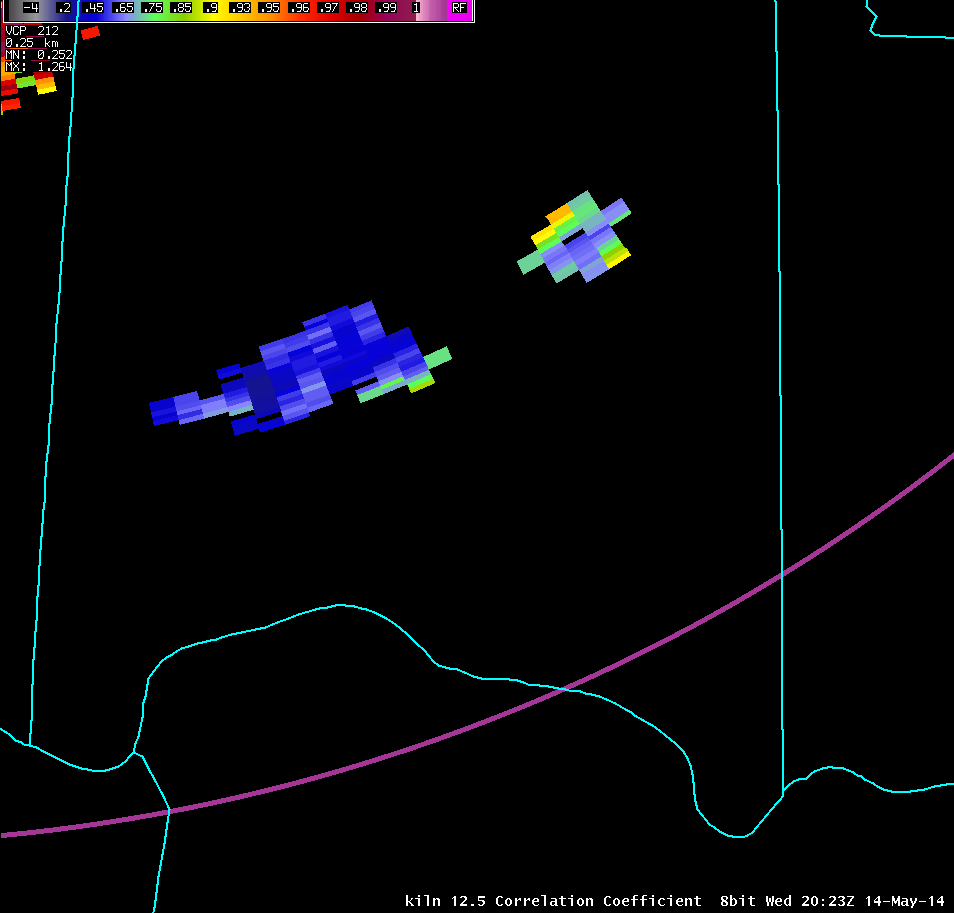
| 12.5° Reflectivity | 12.5° Storm-Relative Motion | 12.5° Correlation Coefficient | 12.5° Differential Reflectivity |
 |
 |
 |
 |
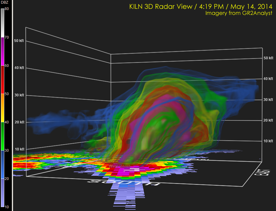
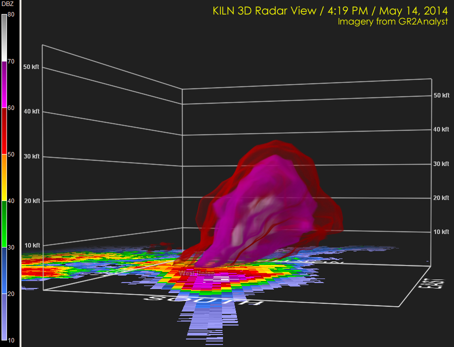
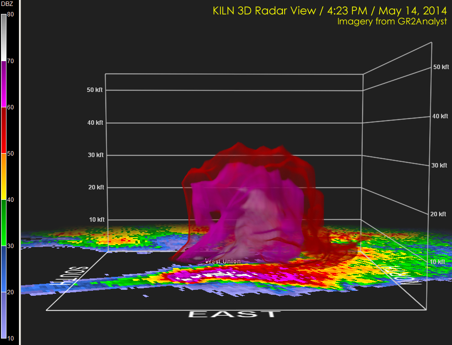
| 3-Dimensional KILN Radar Imagery | |
| 4:19 PM (>20 dBZ) | 4:19 PM (>50 dBZ) |
 |
 |
| 4:23 PM (>20 dBZ) | 4:23 PM (>50 dBZ) |
 |
 |
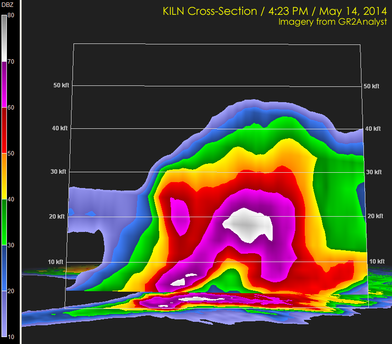
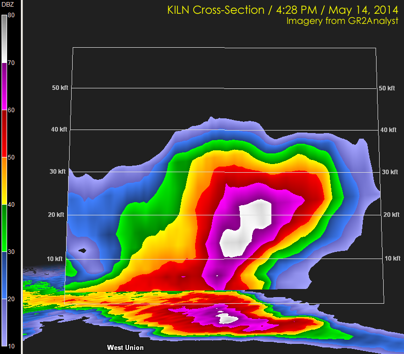
| KILN Radar Cross-Sections | |
| 4:23 PM | 4:28 PM |
 |
 |
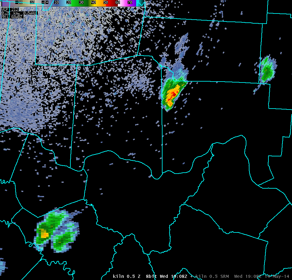
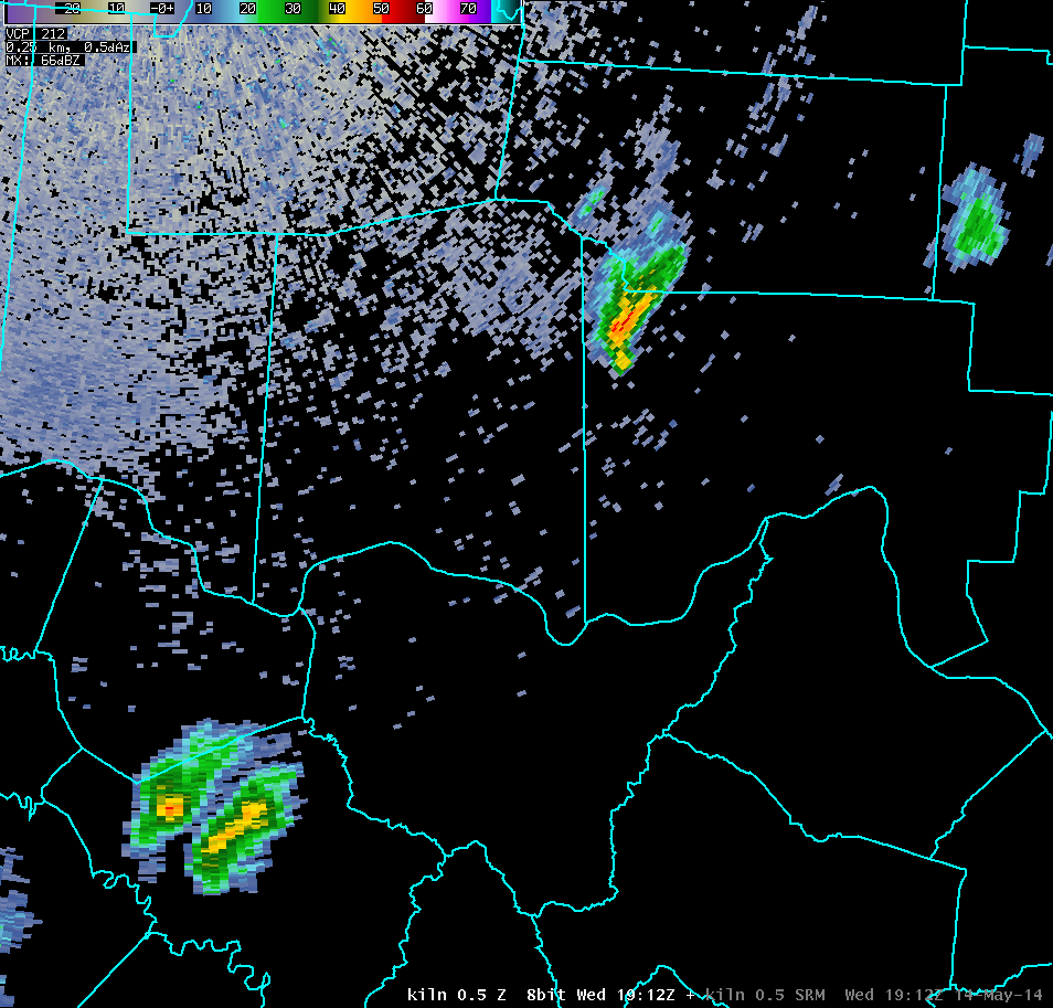
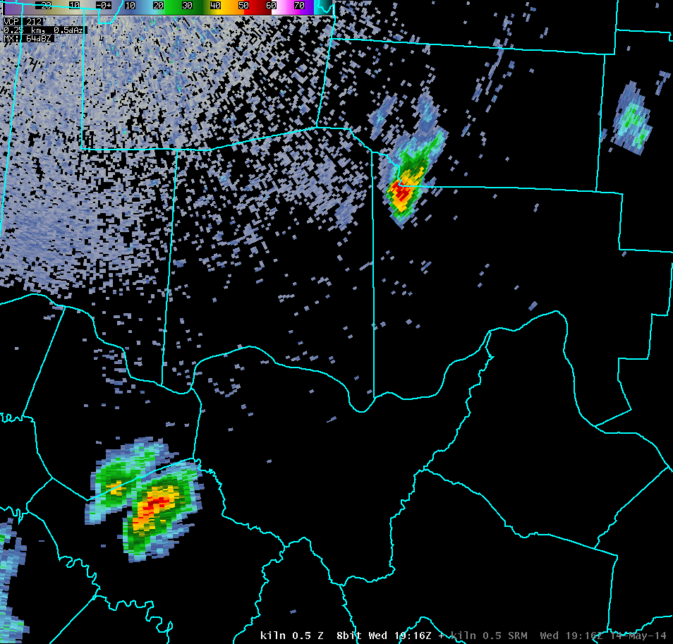
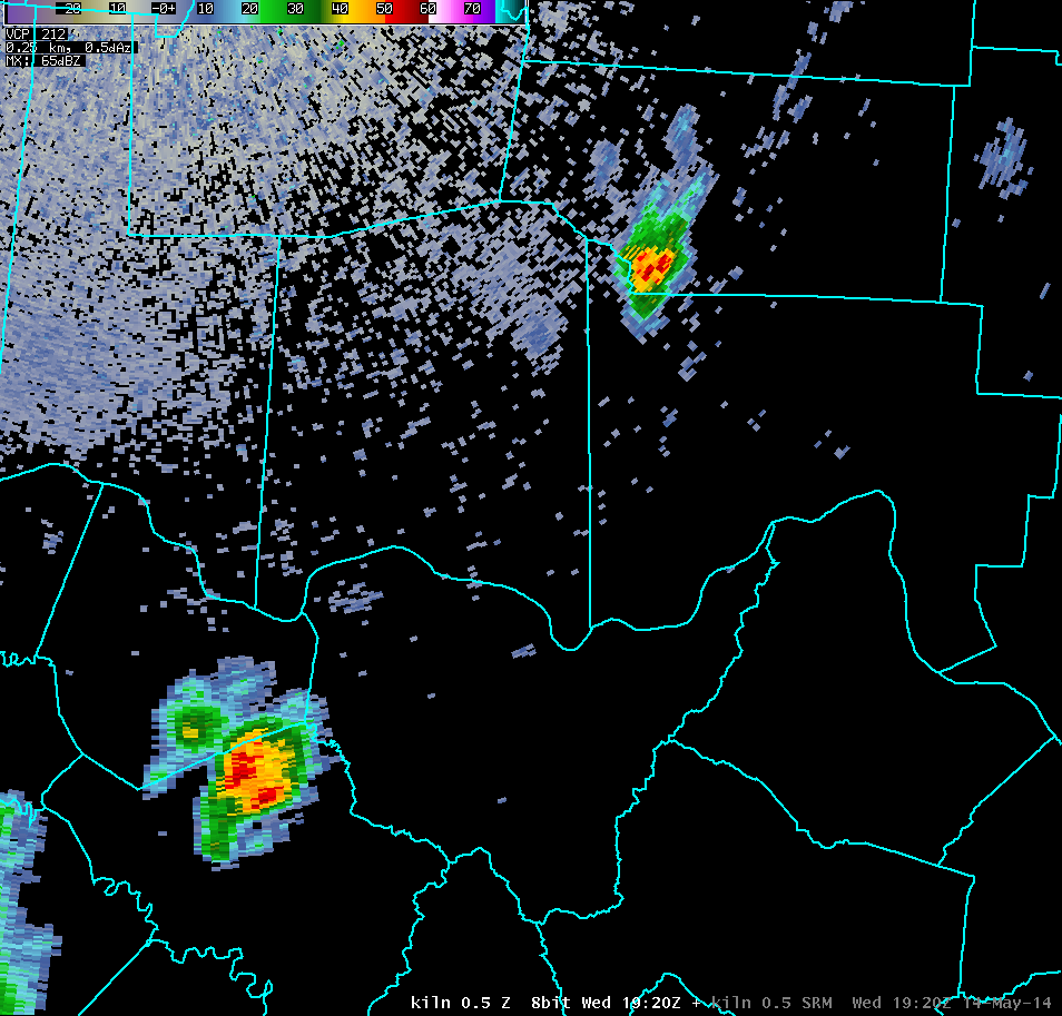
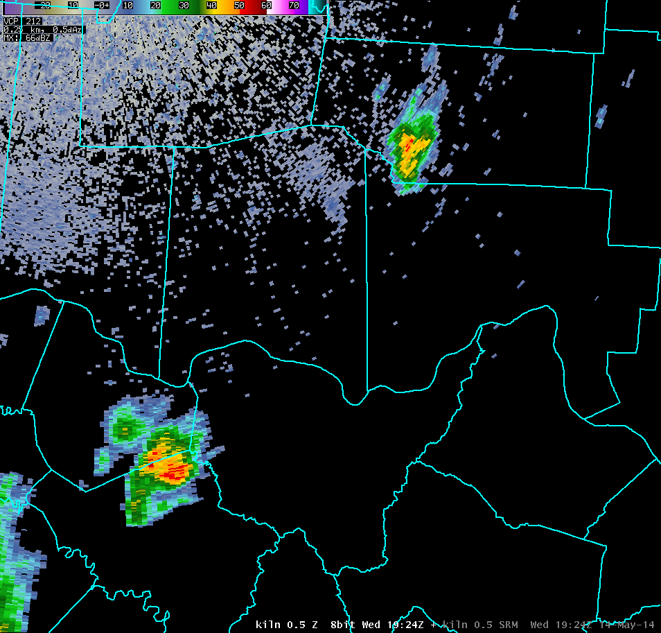
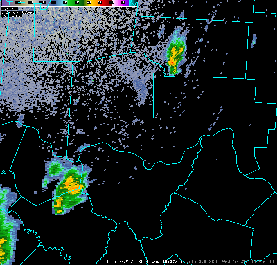
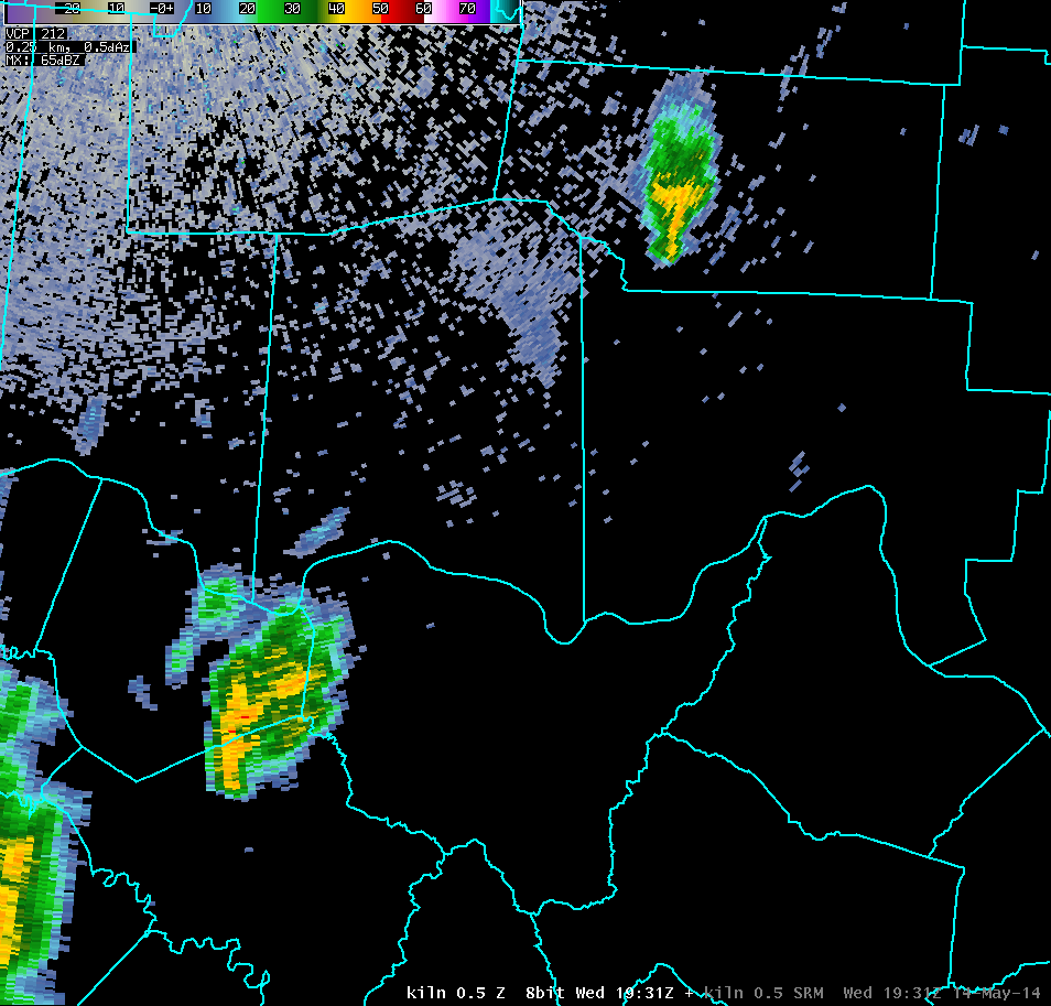
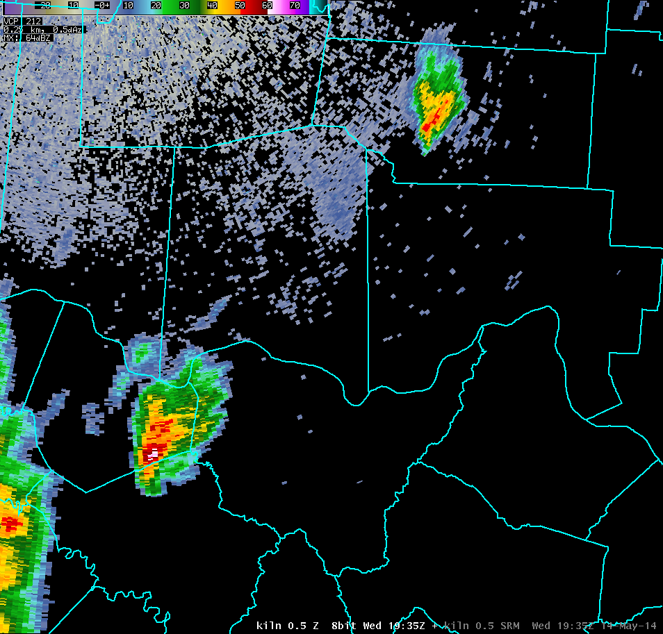
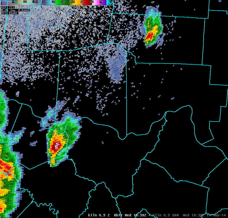
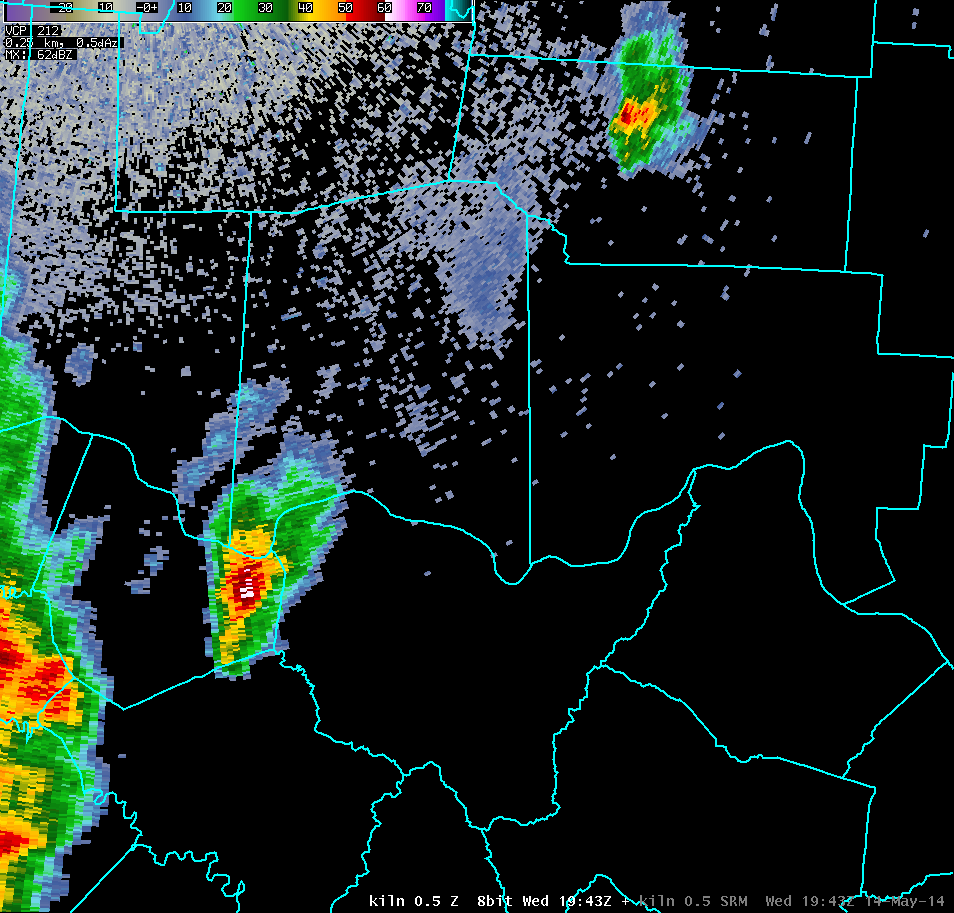
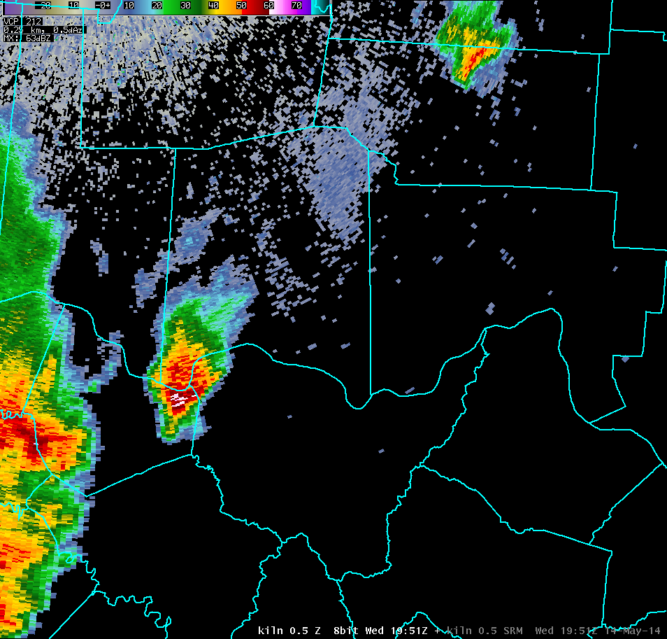
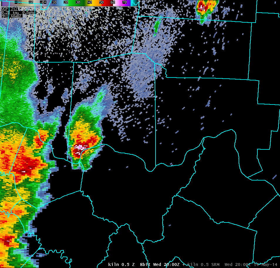
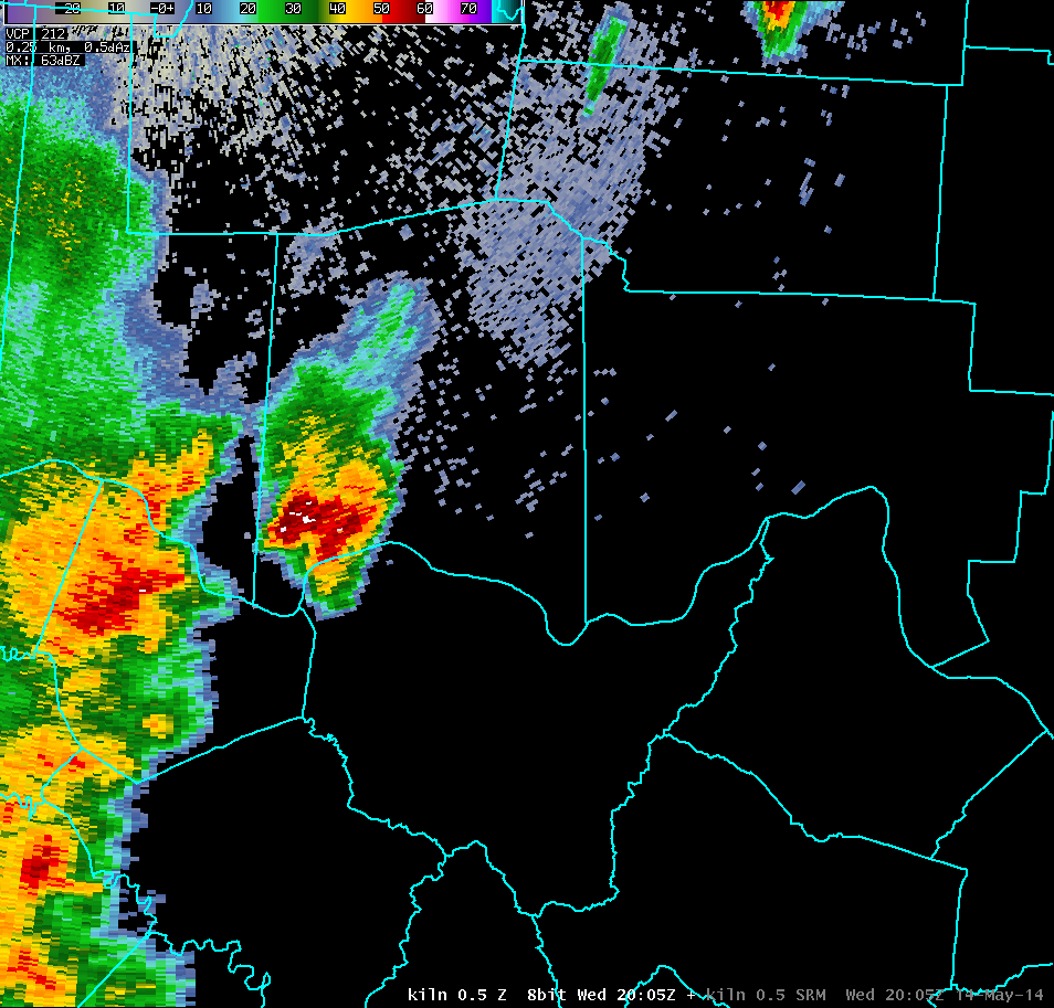
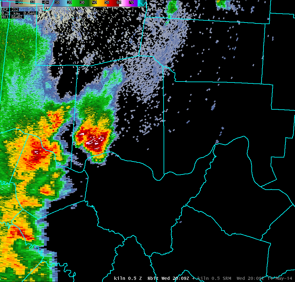
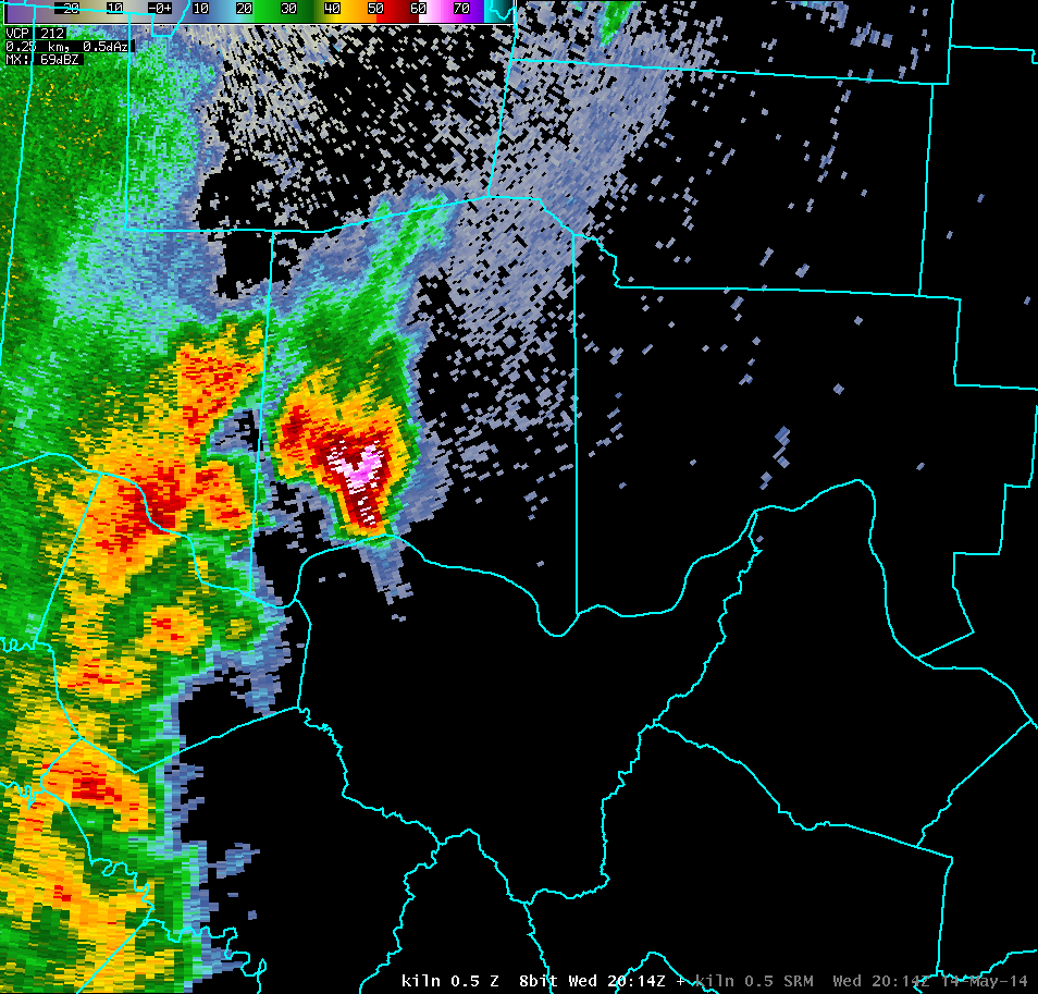
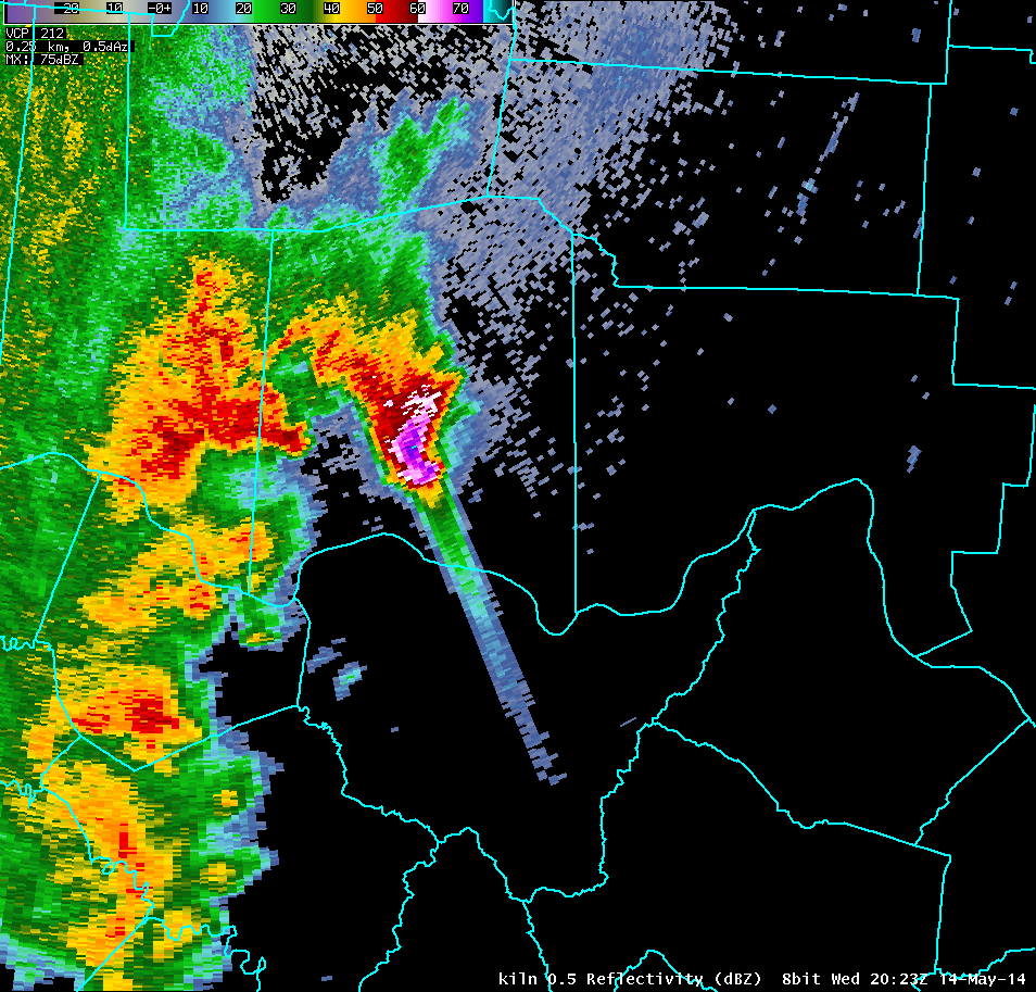
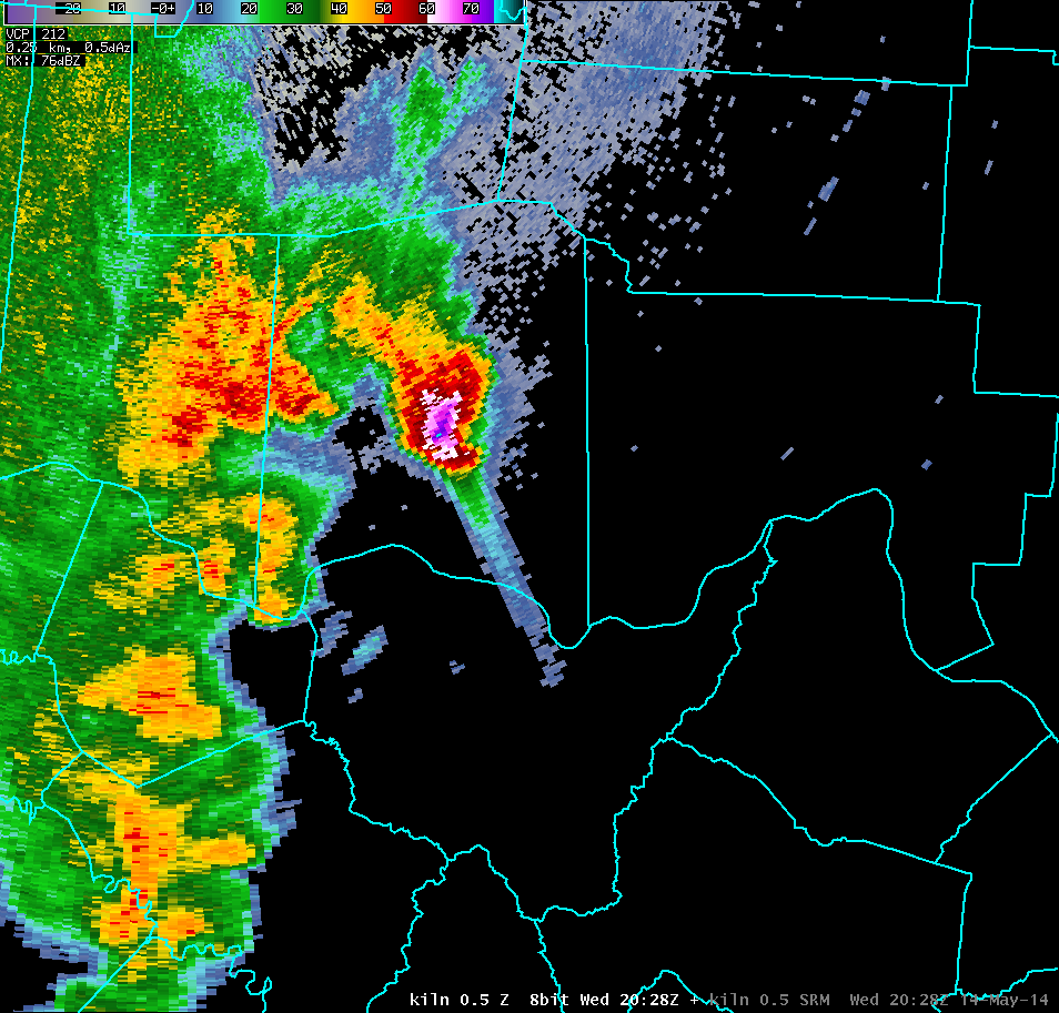
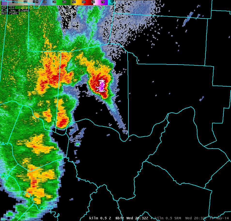
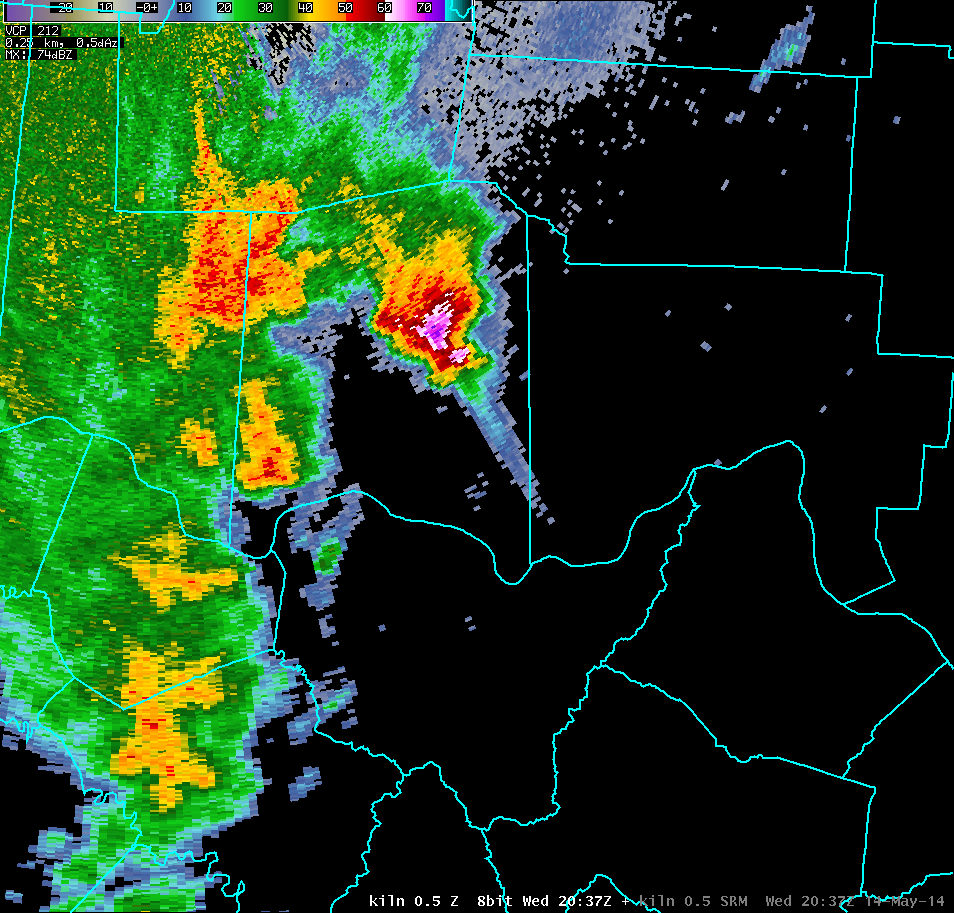
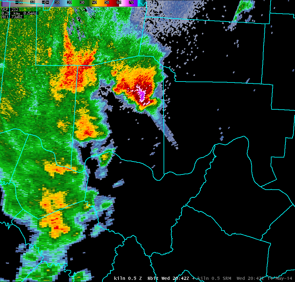
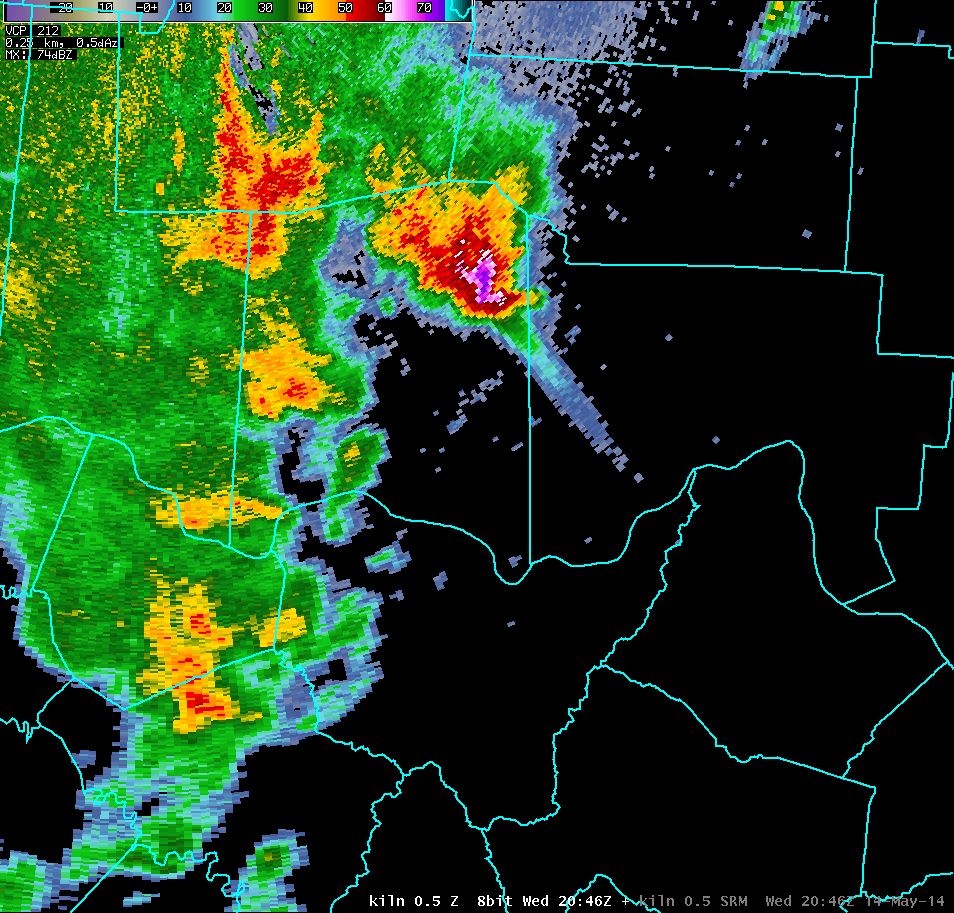
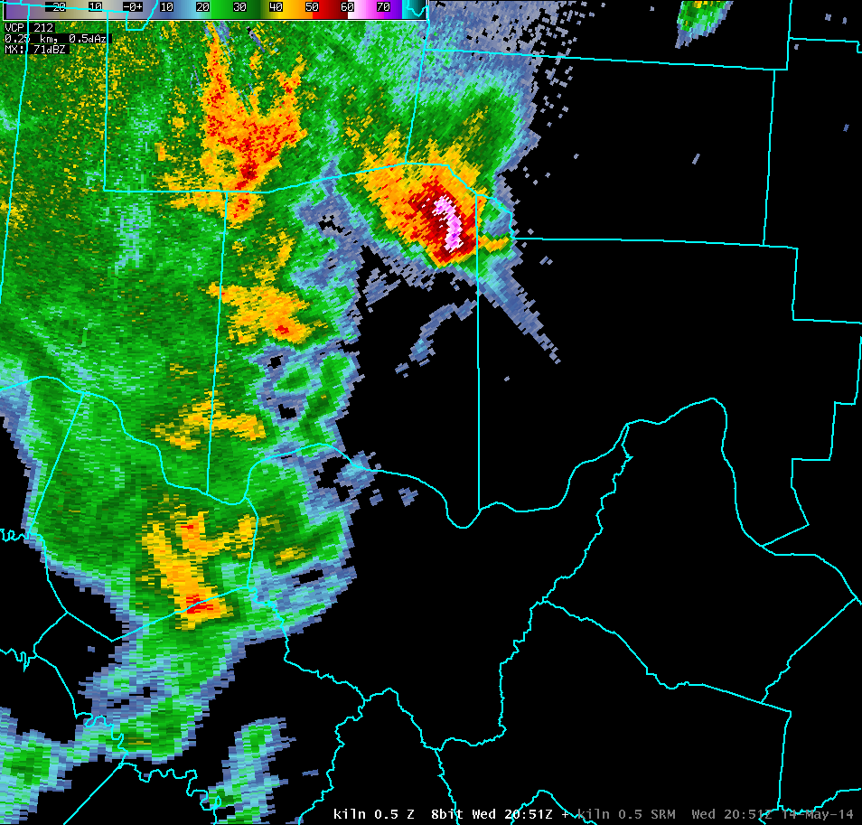
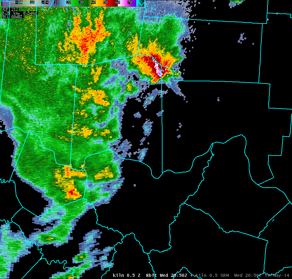
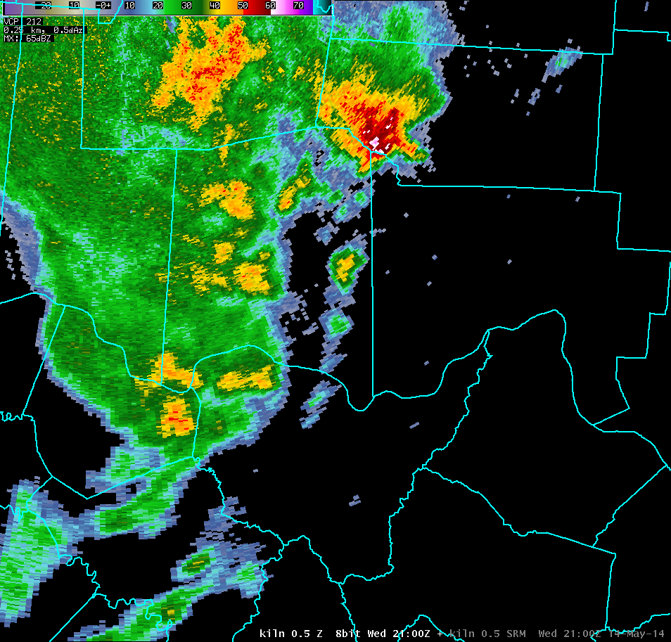
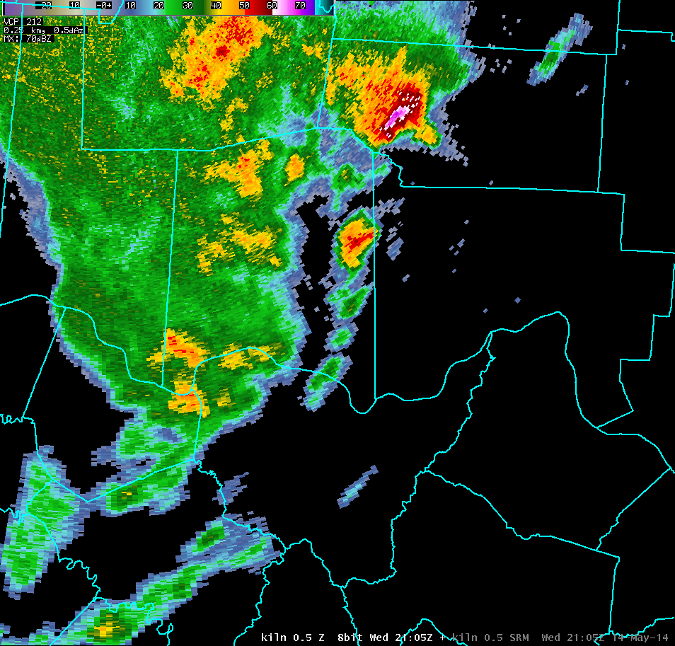
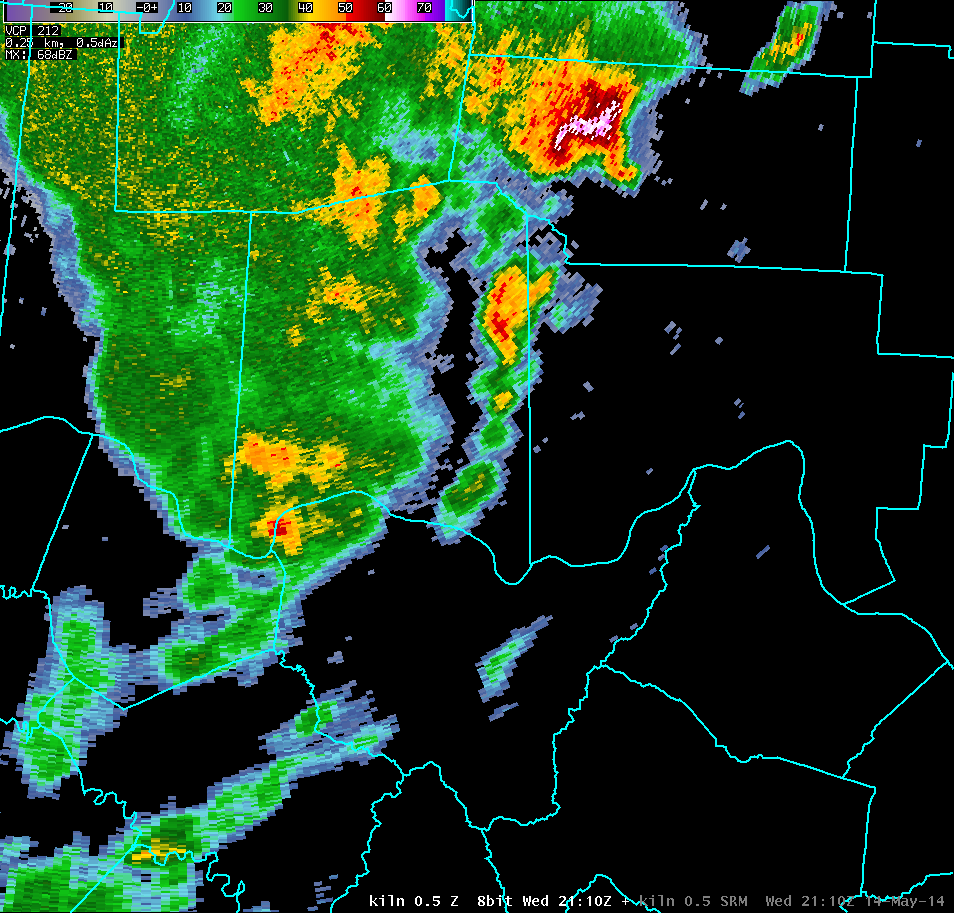
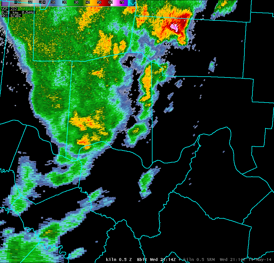
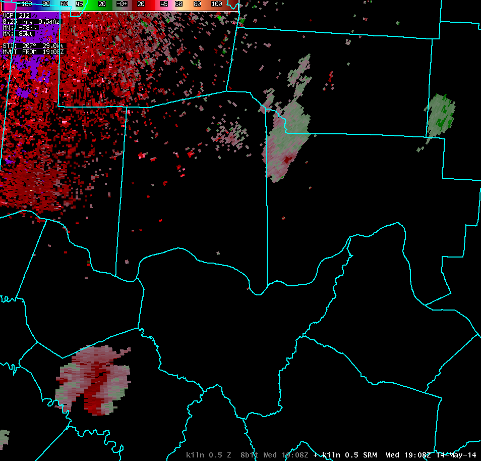
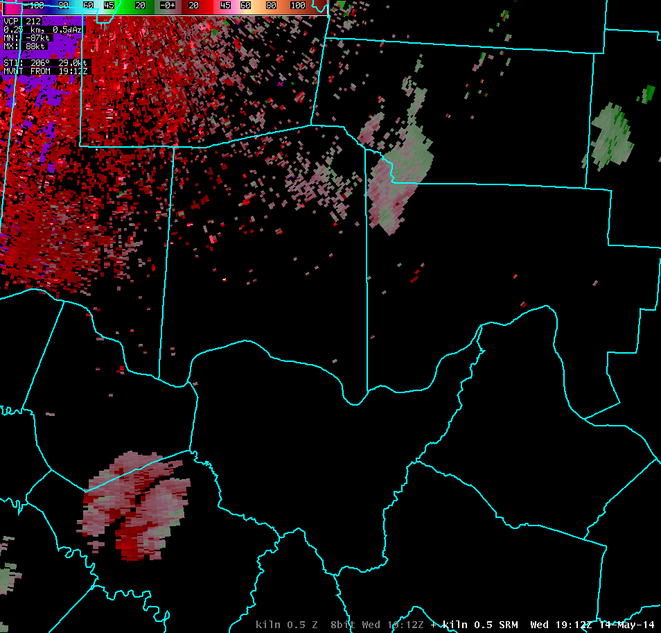
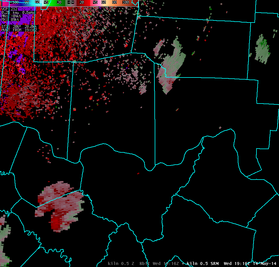
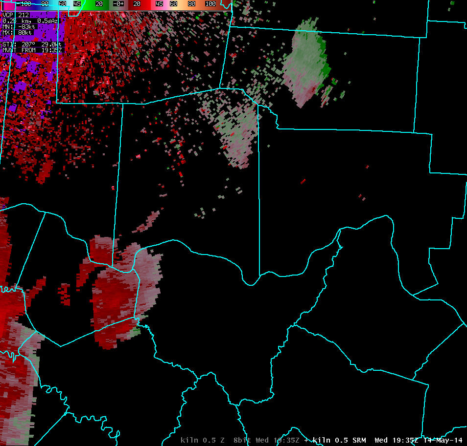
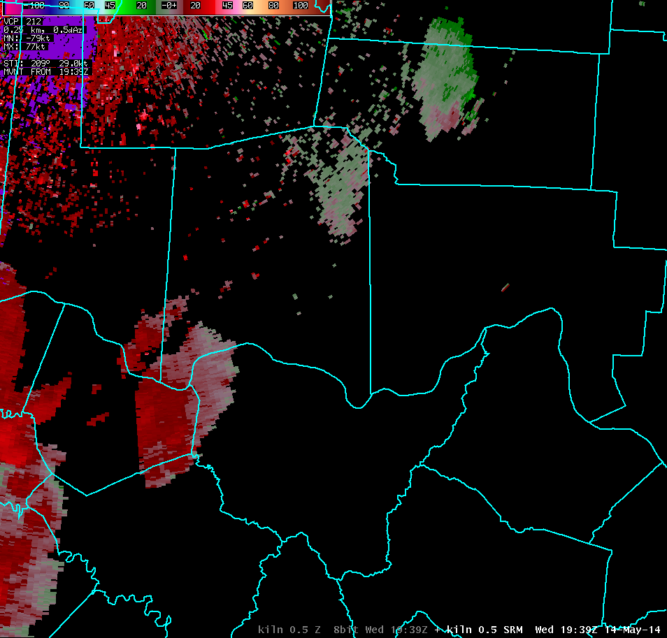
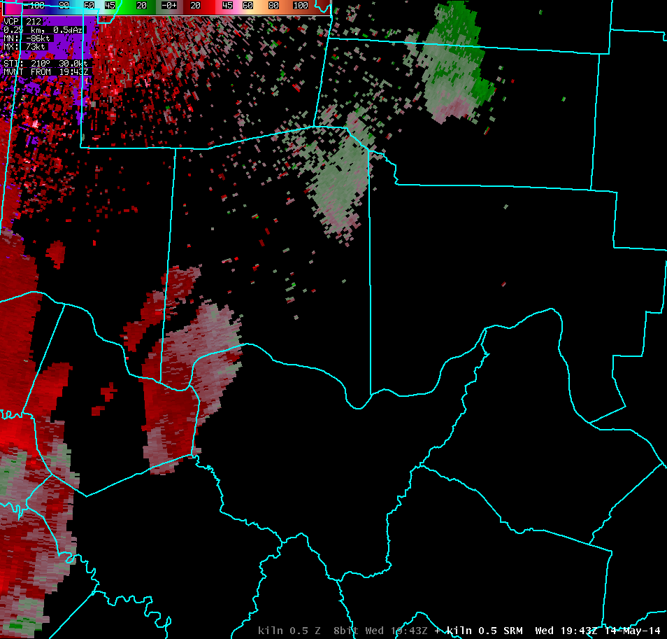
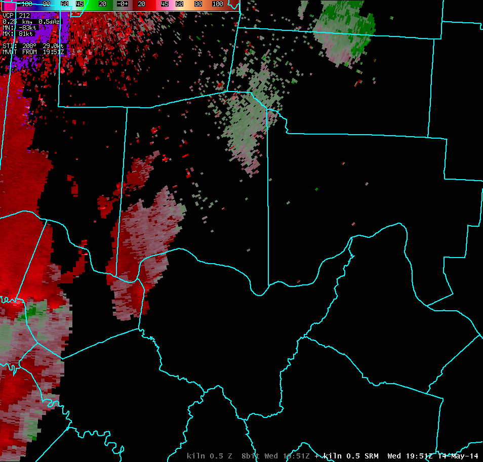
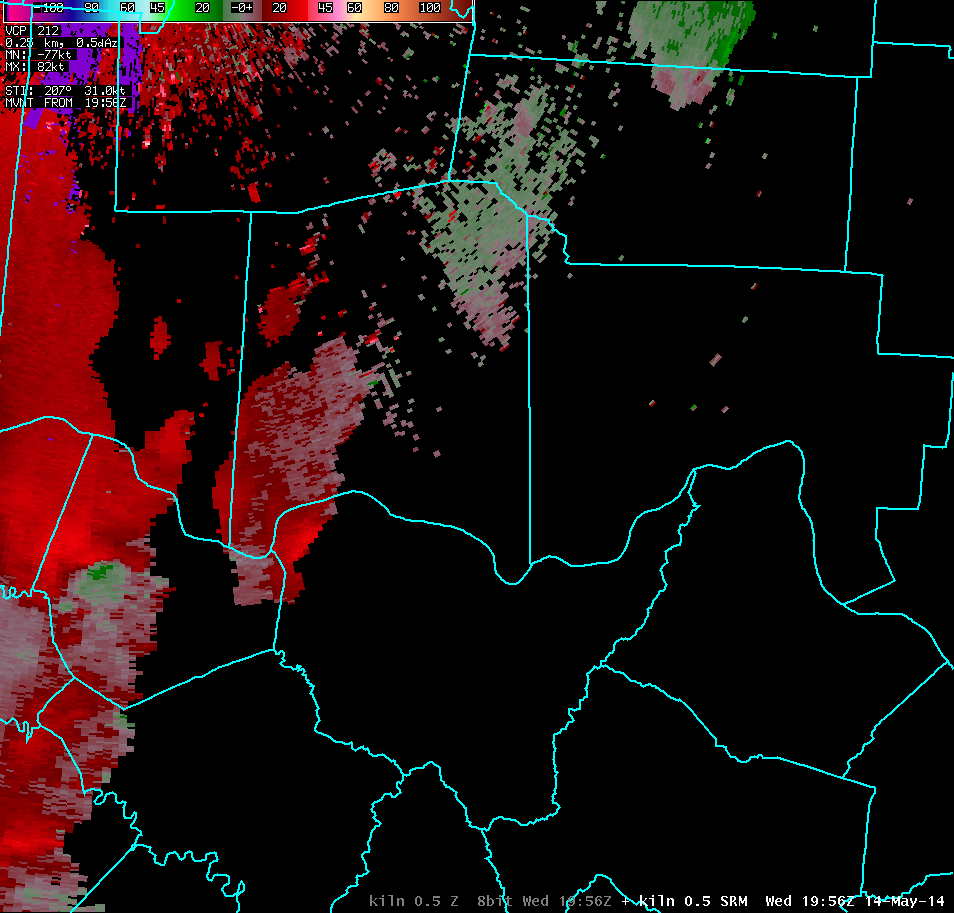
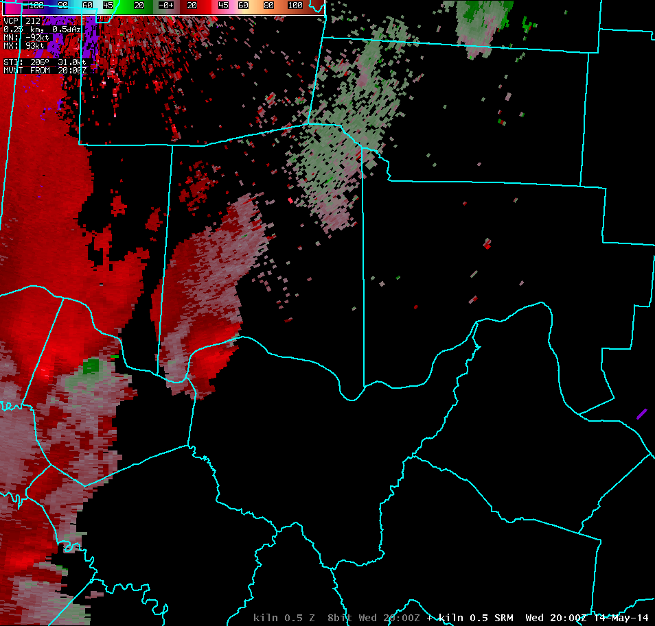
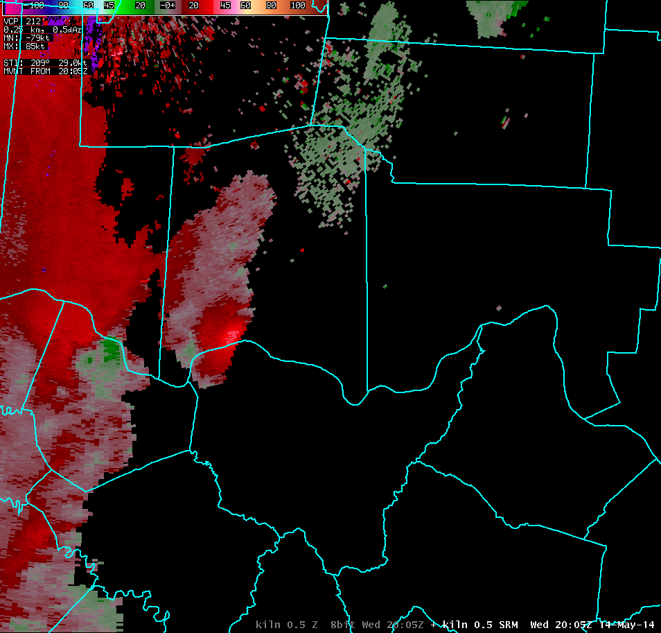
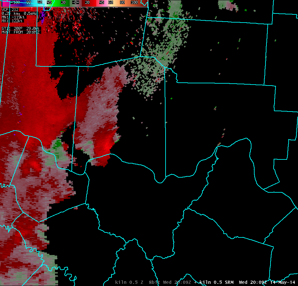
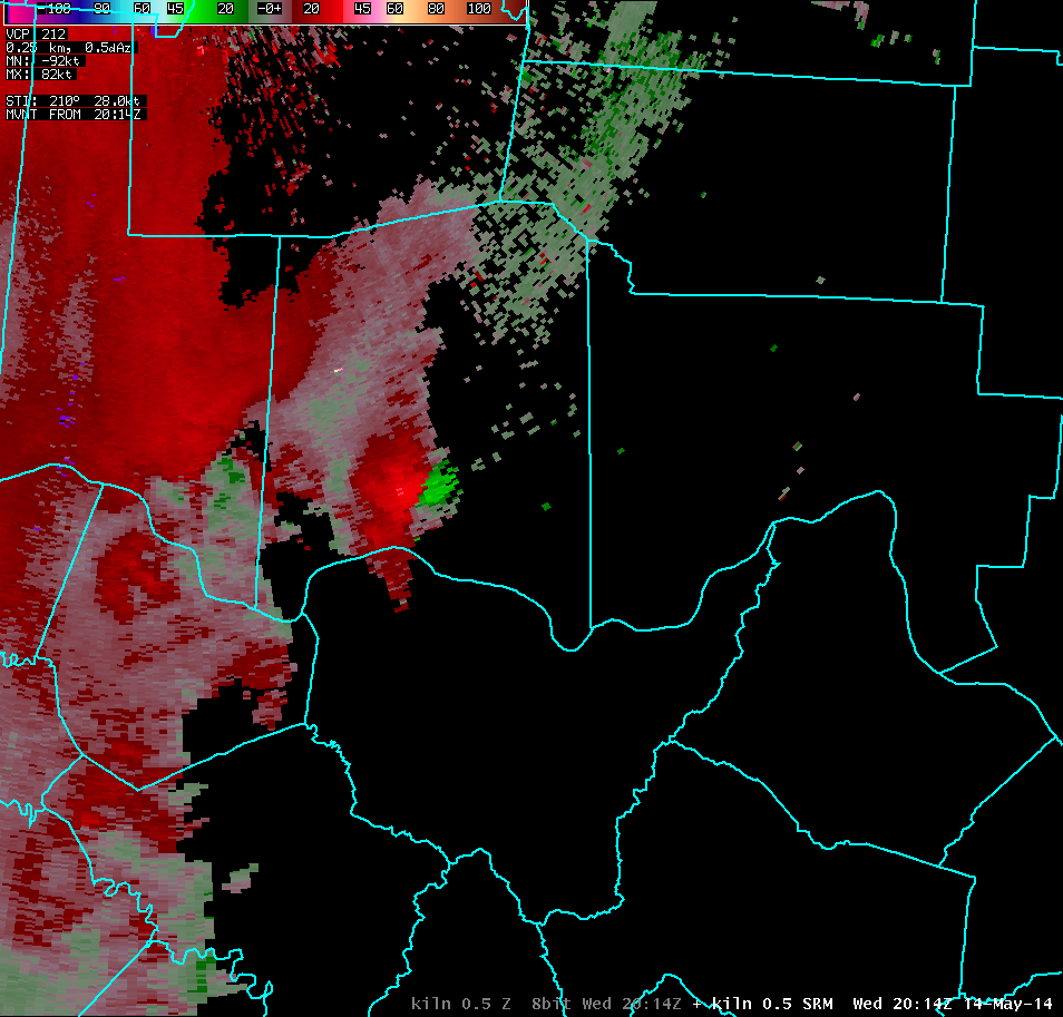
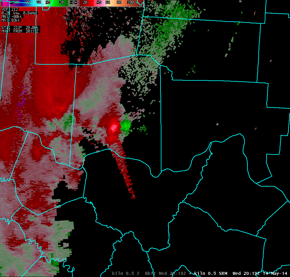
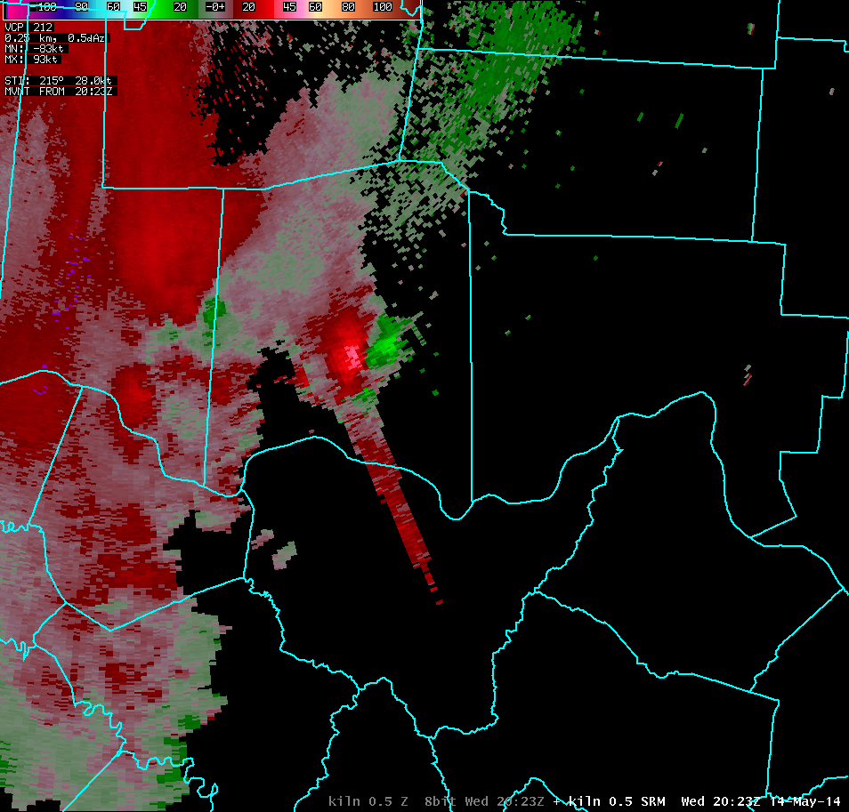
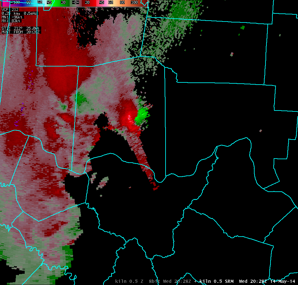
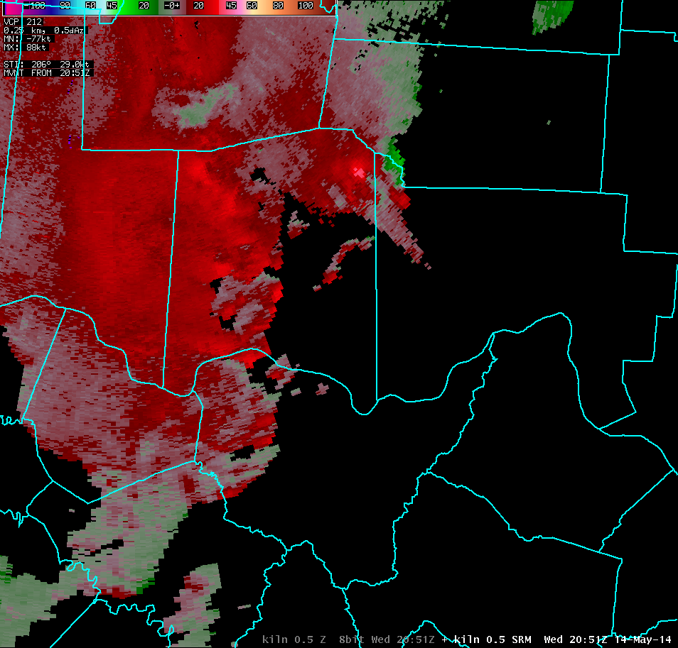
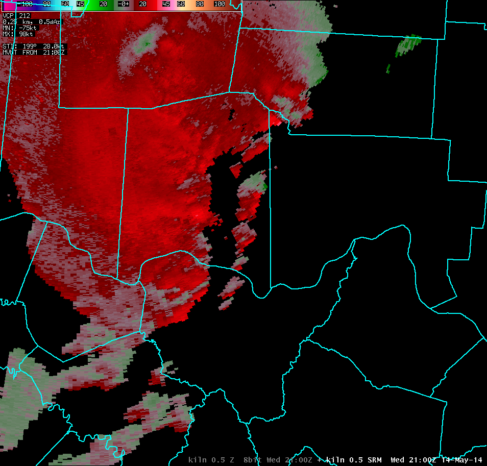
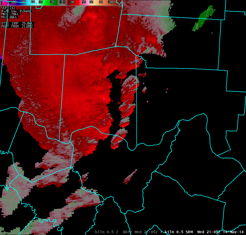
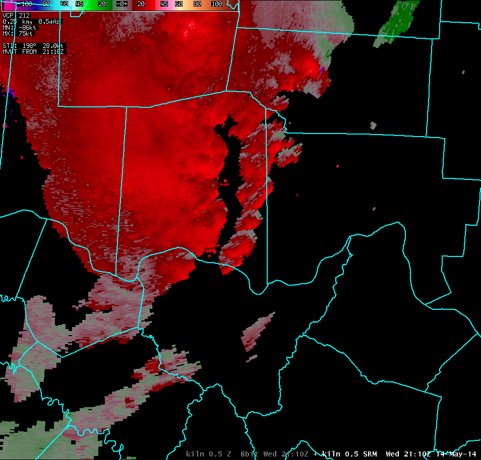
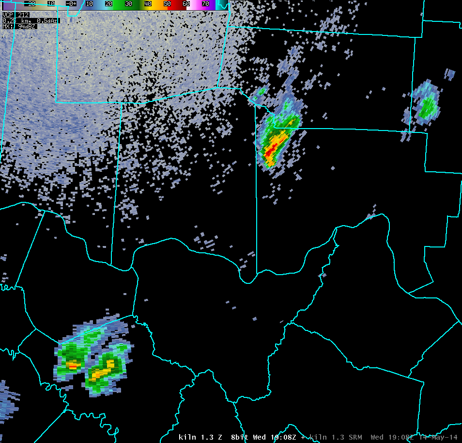
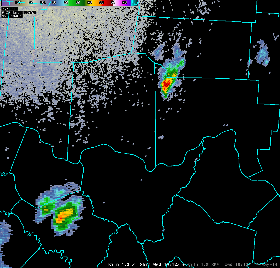
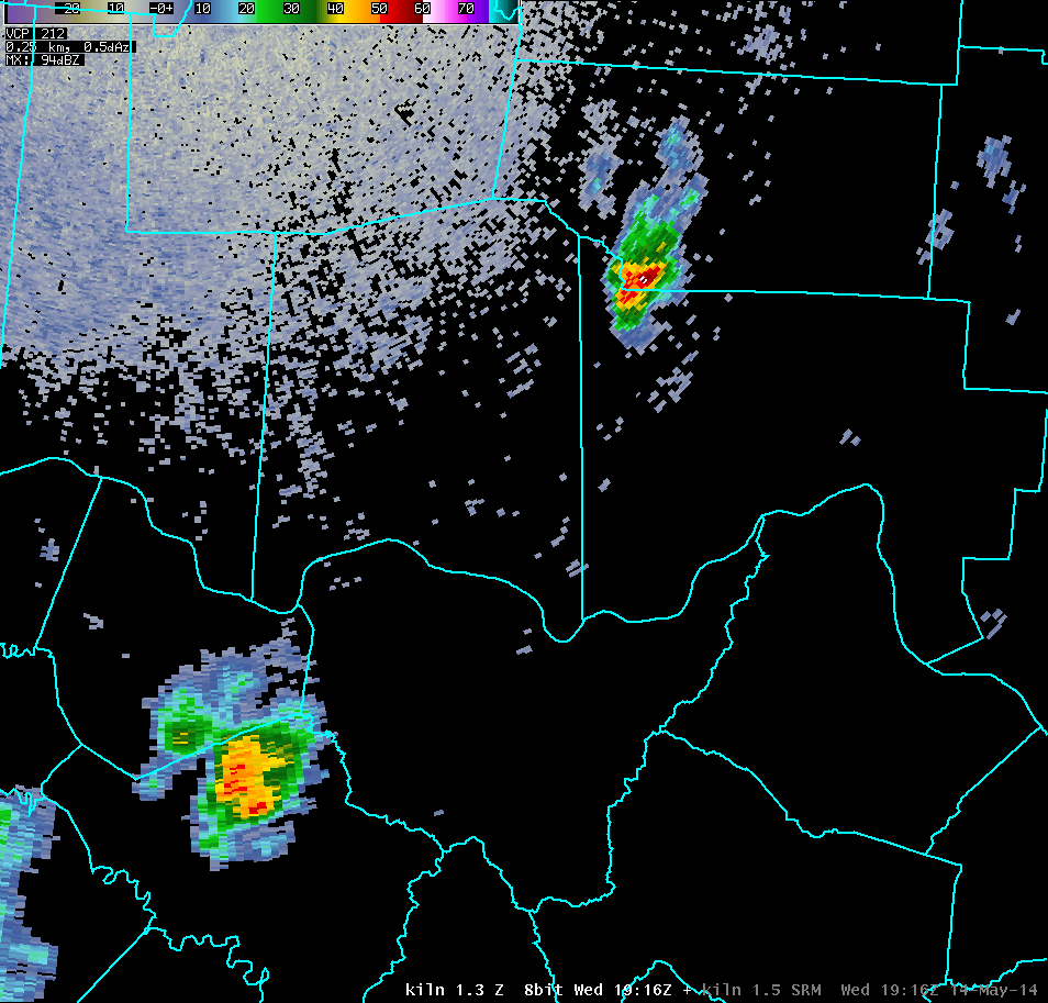
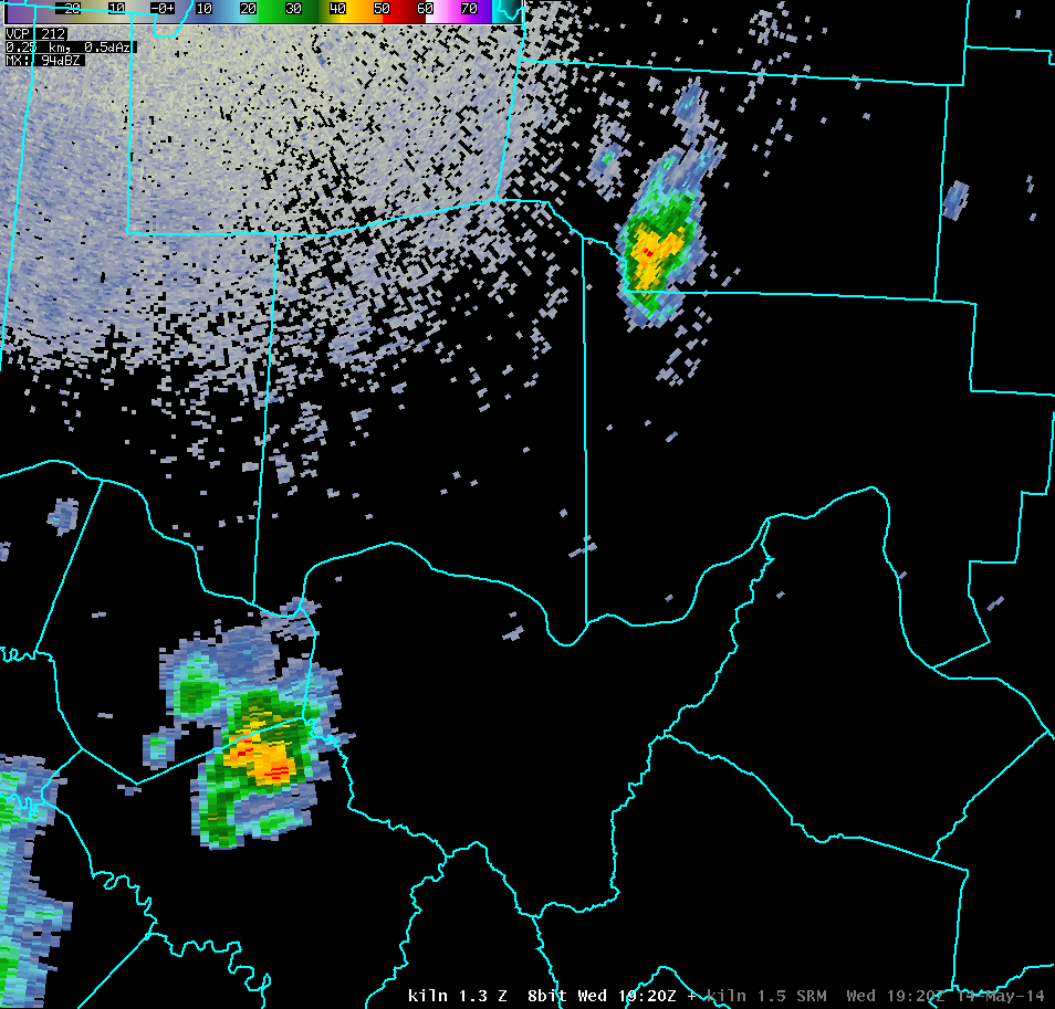
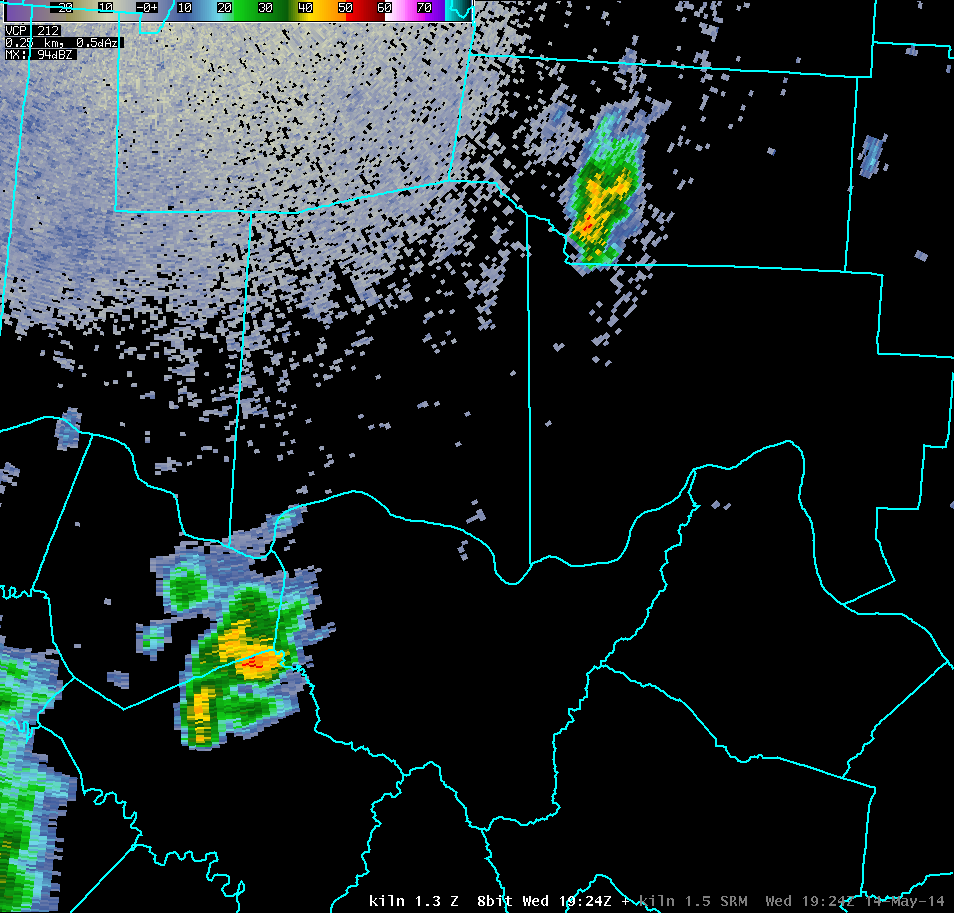
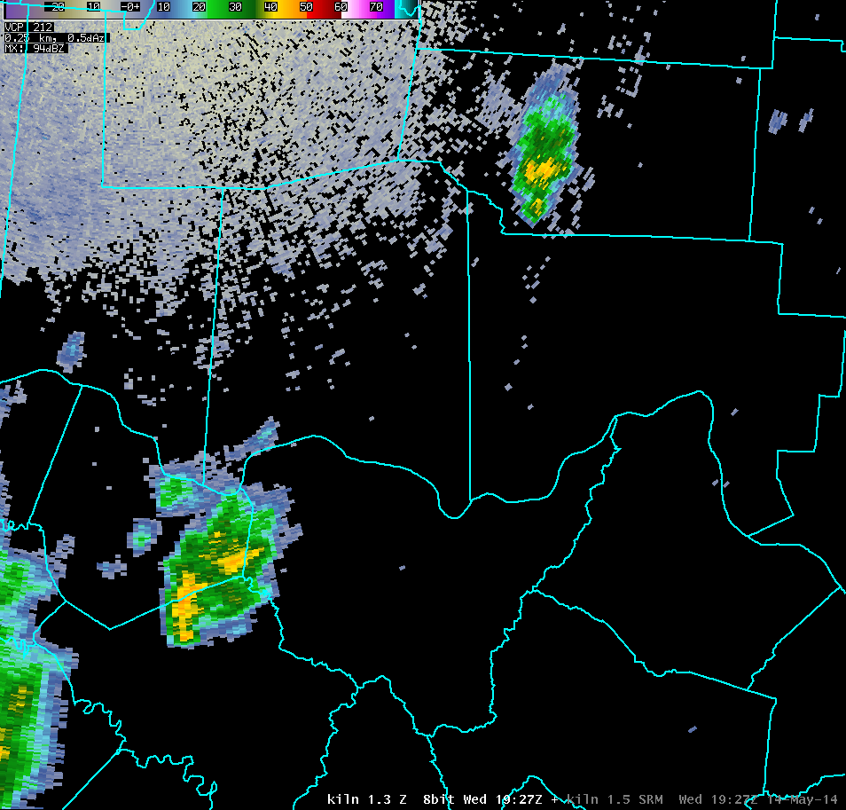
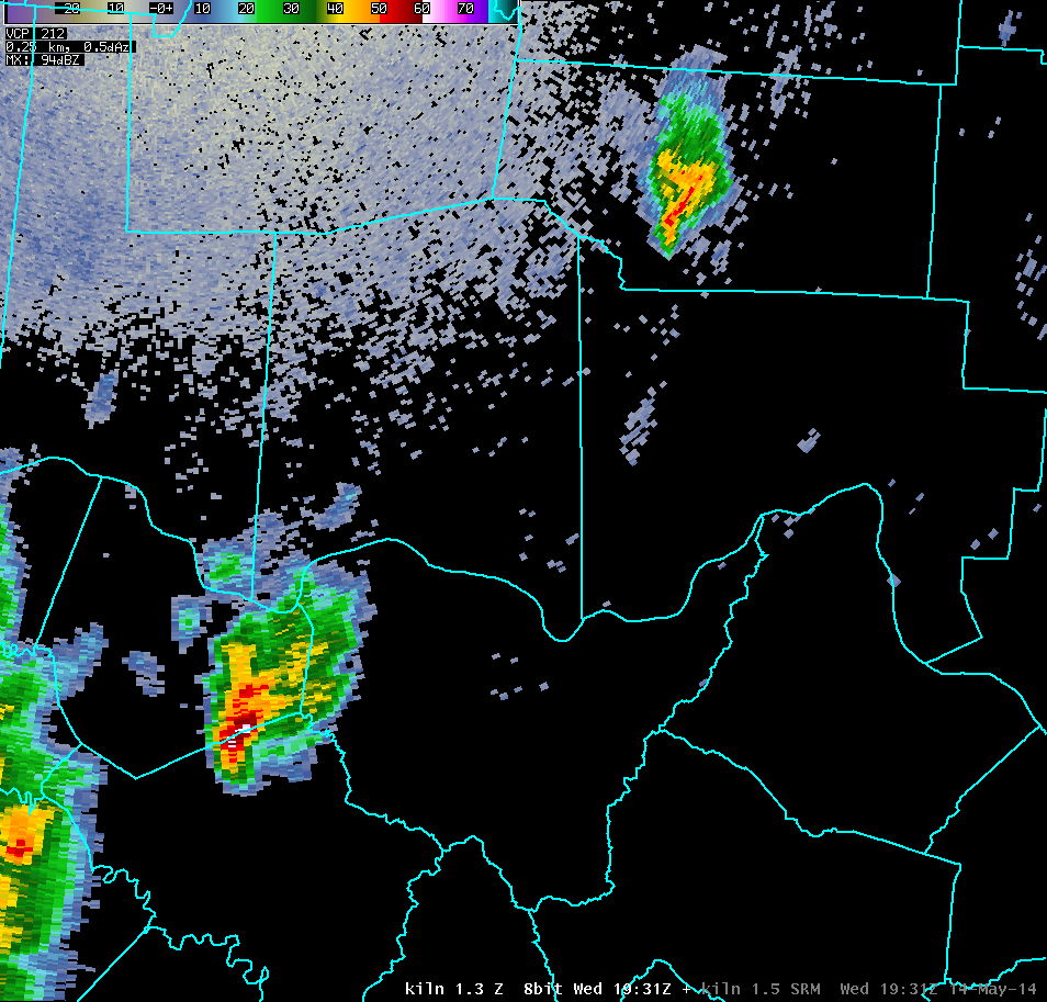
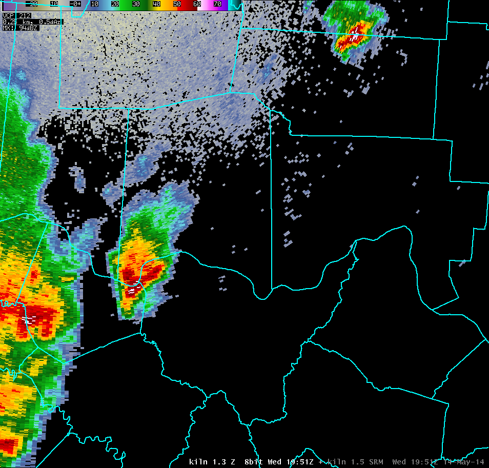
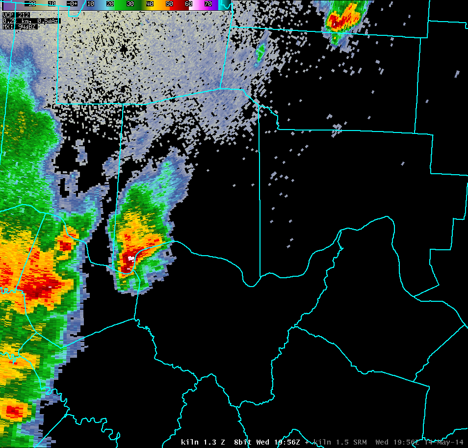
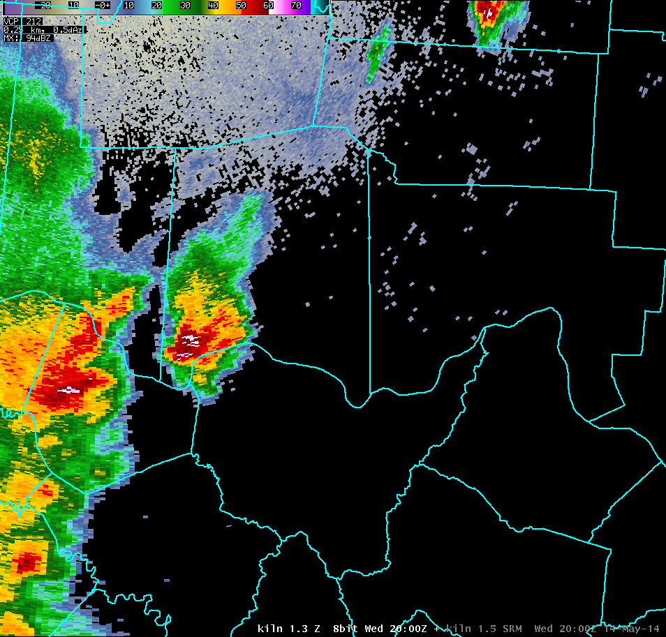
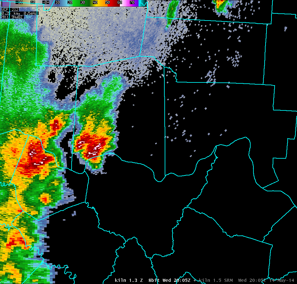
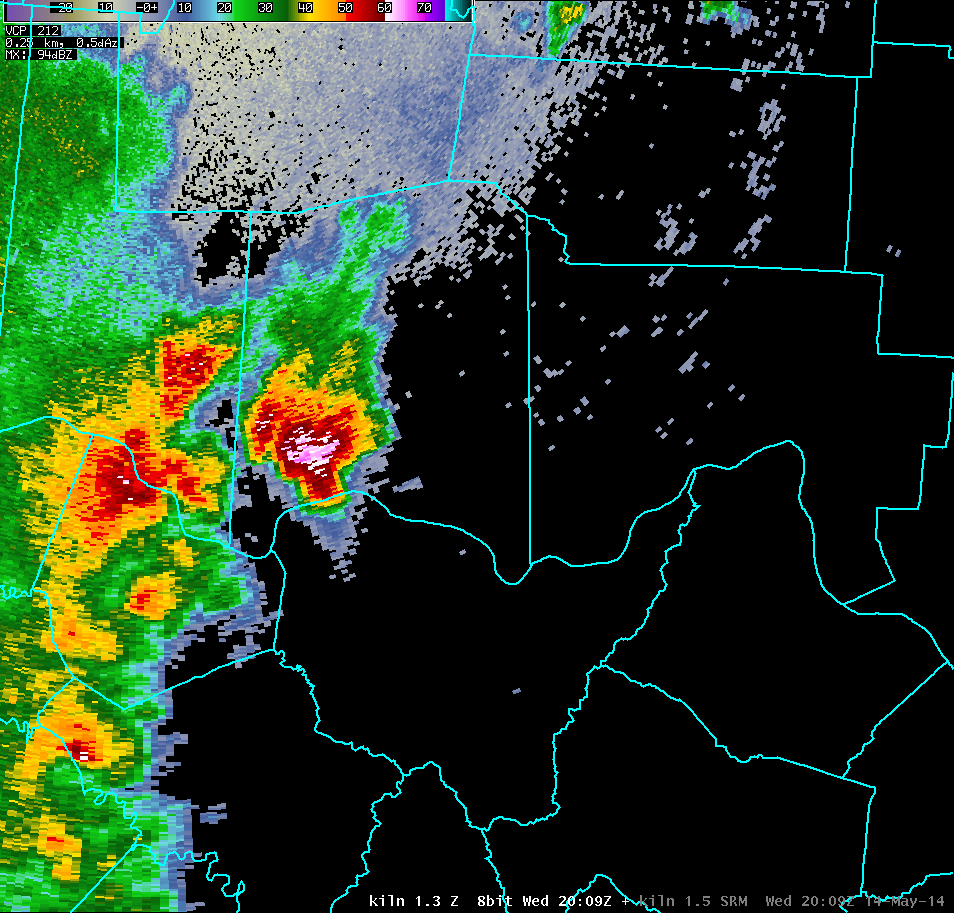
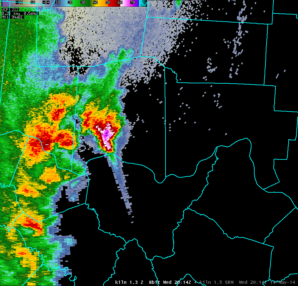
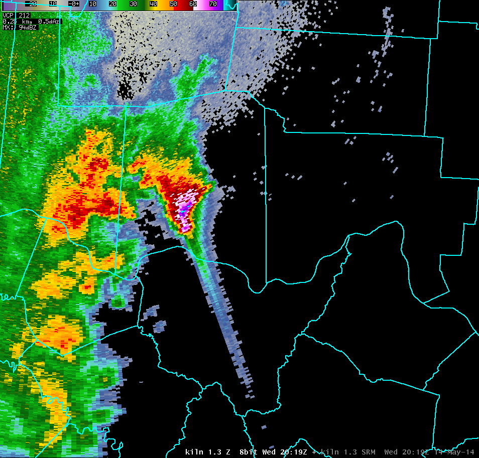
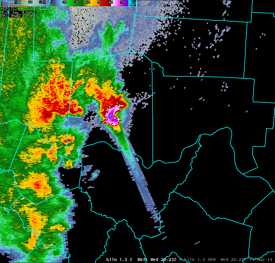
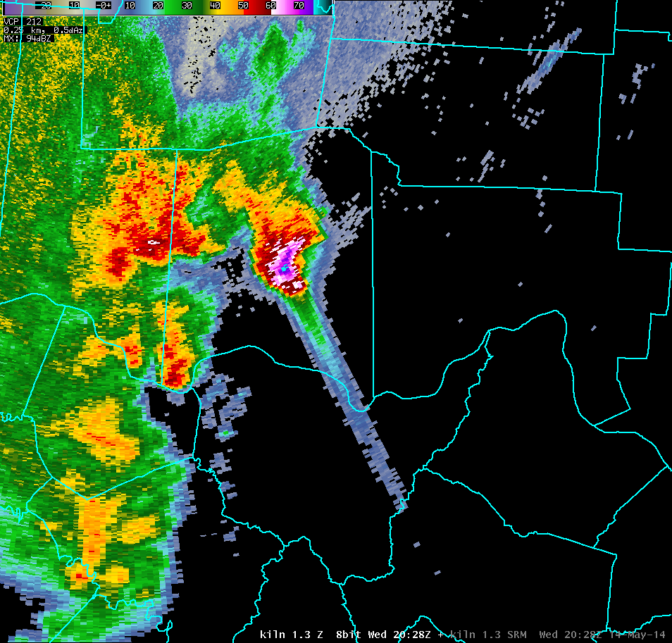
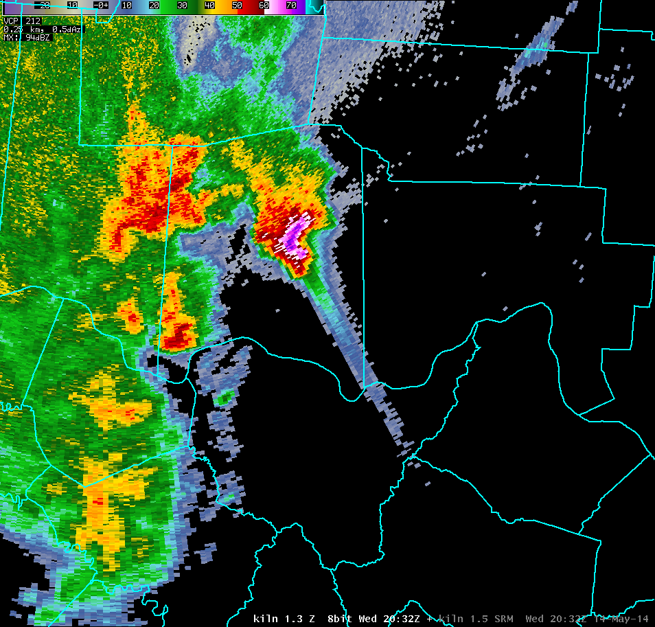
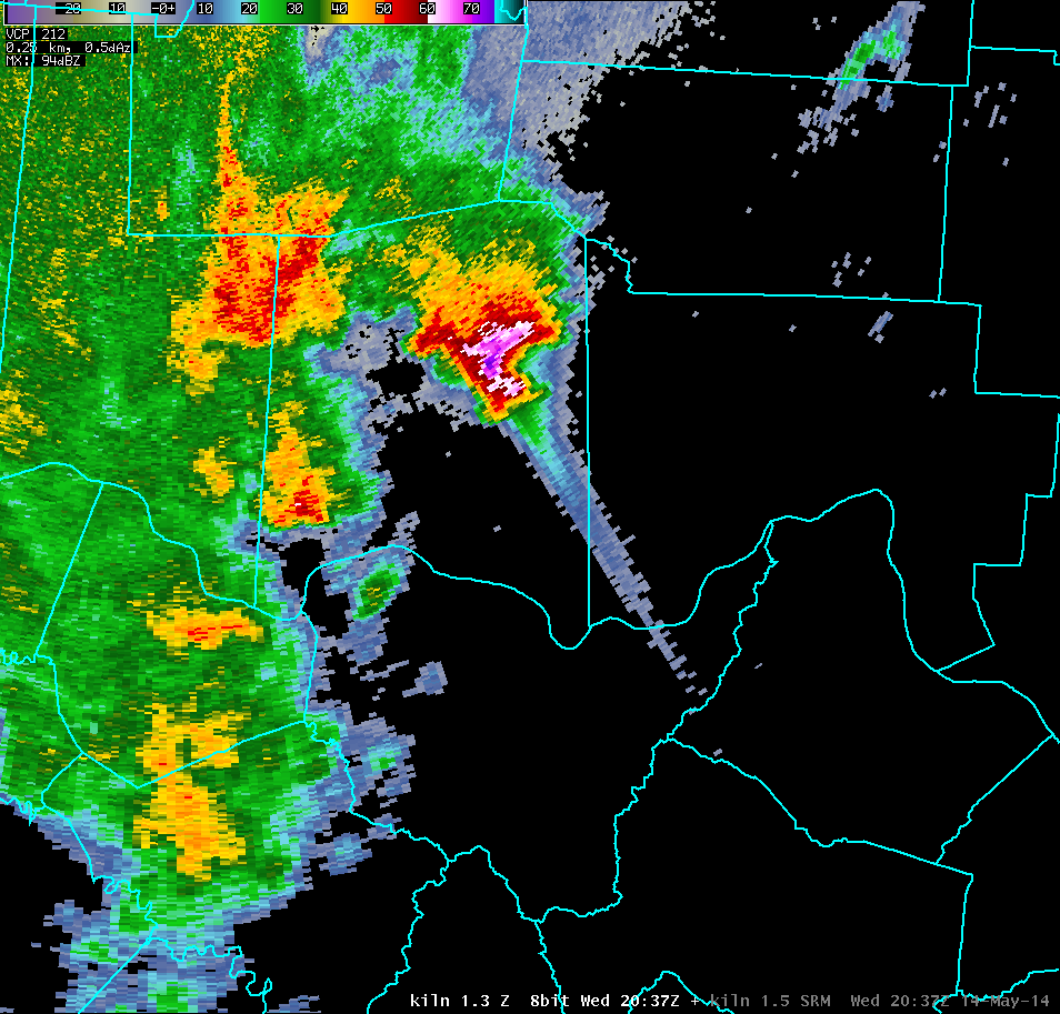
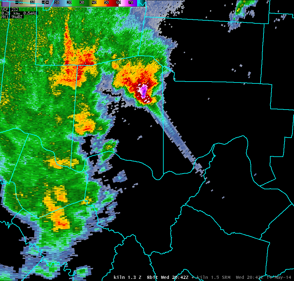
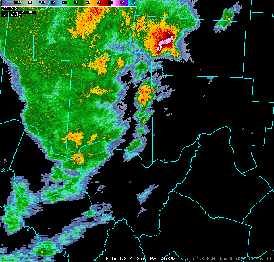
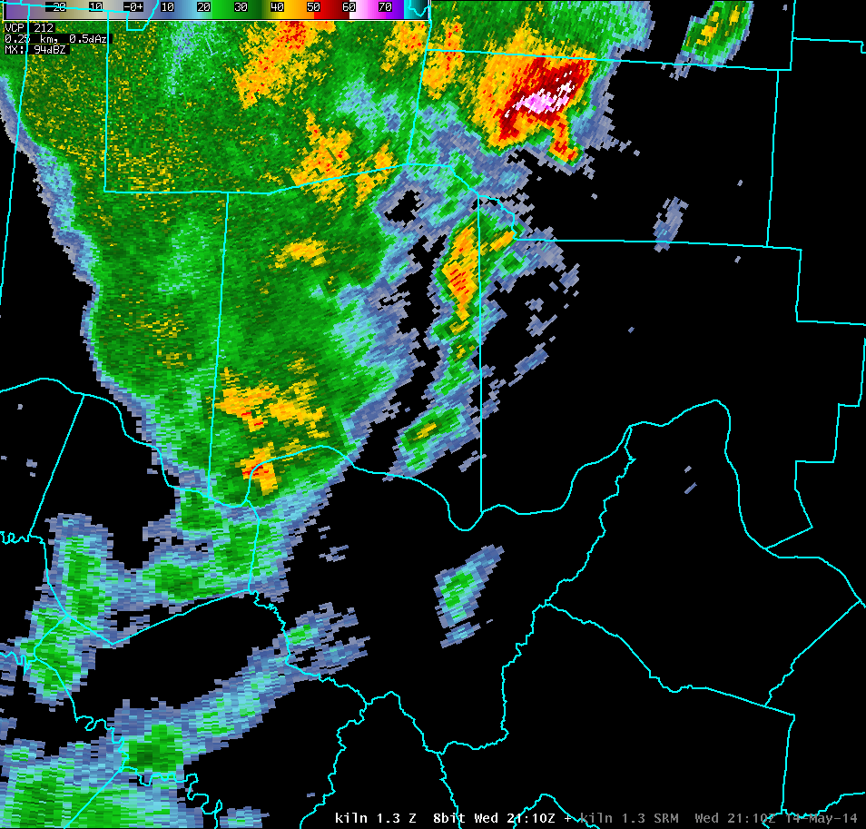
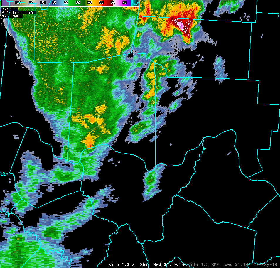
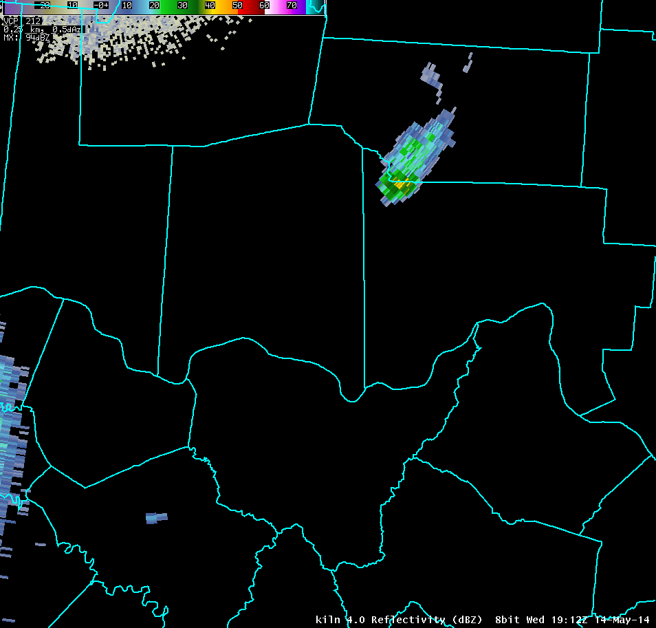
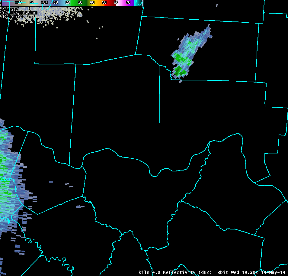
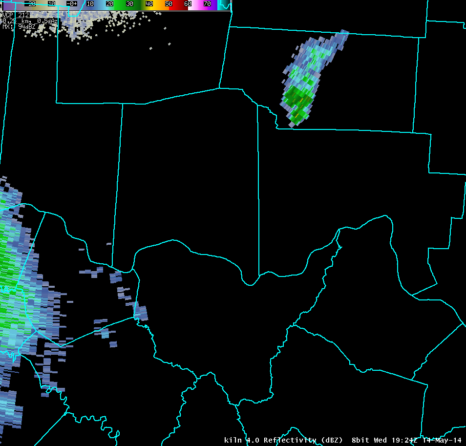
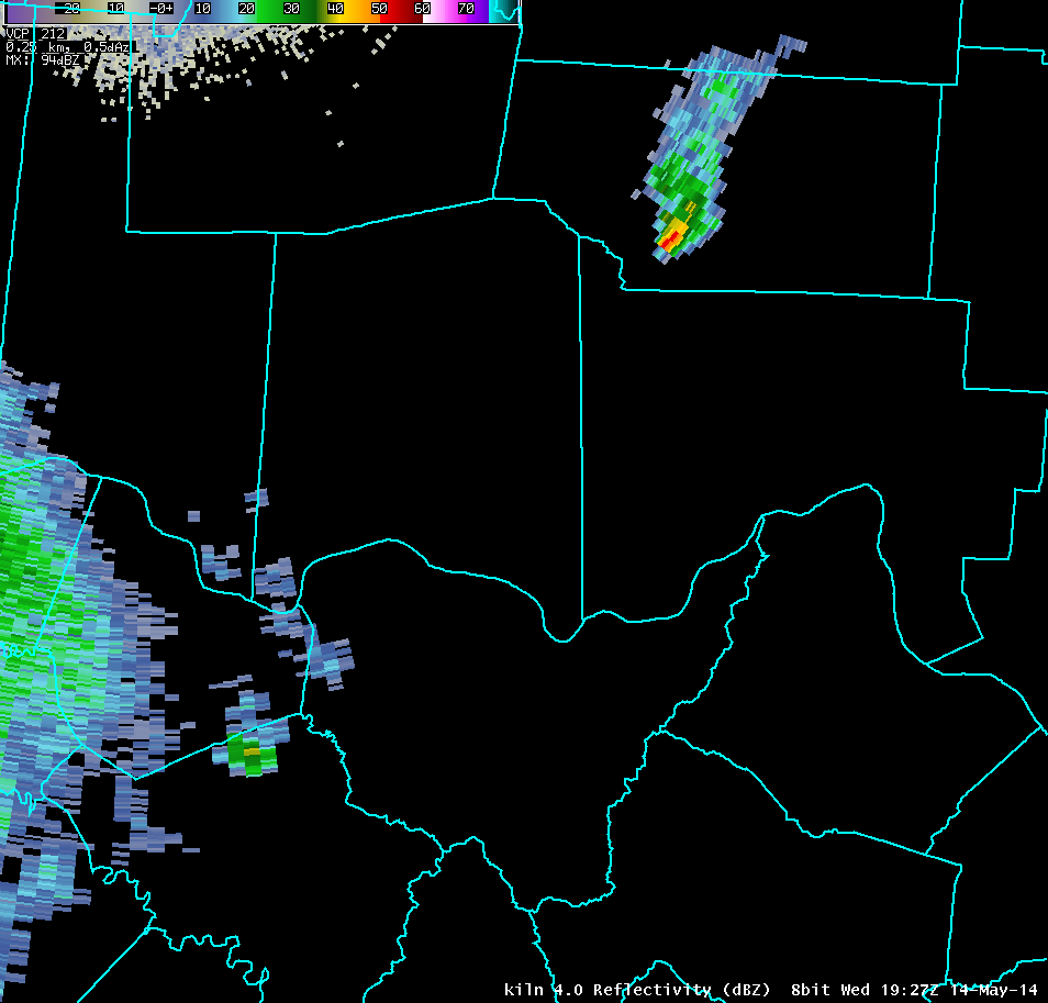
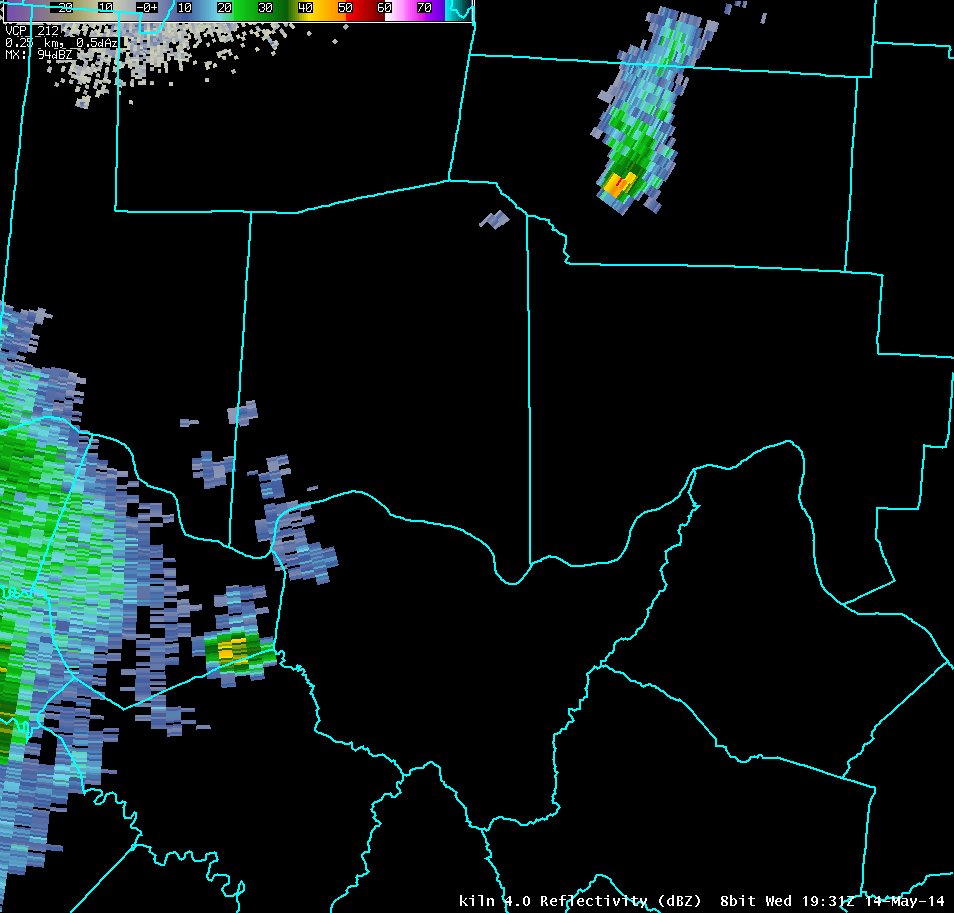
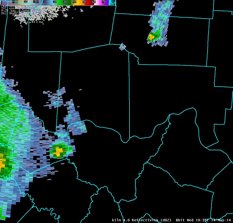
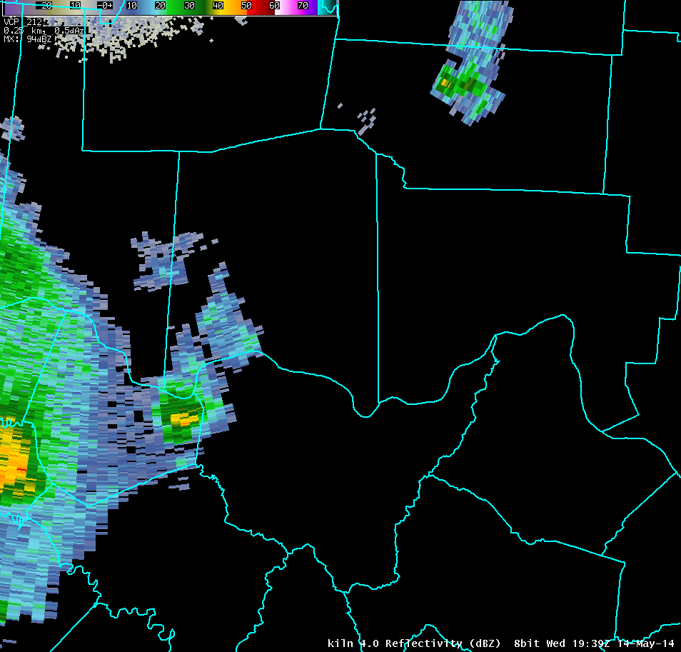
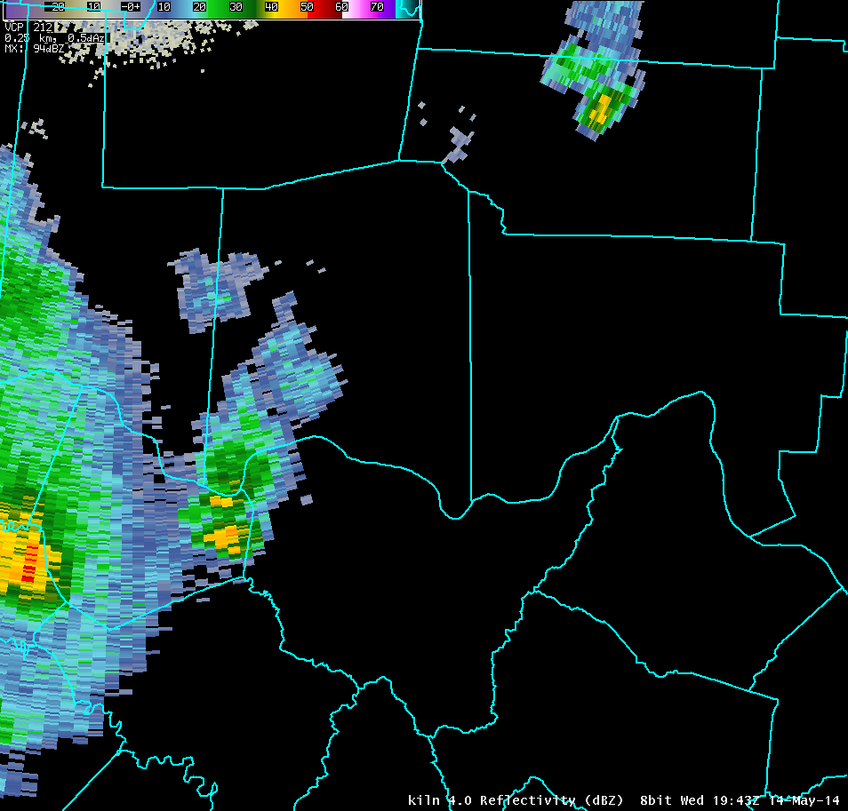
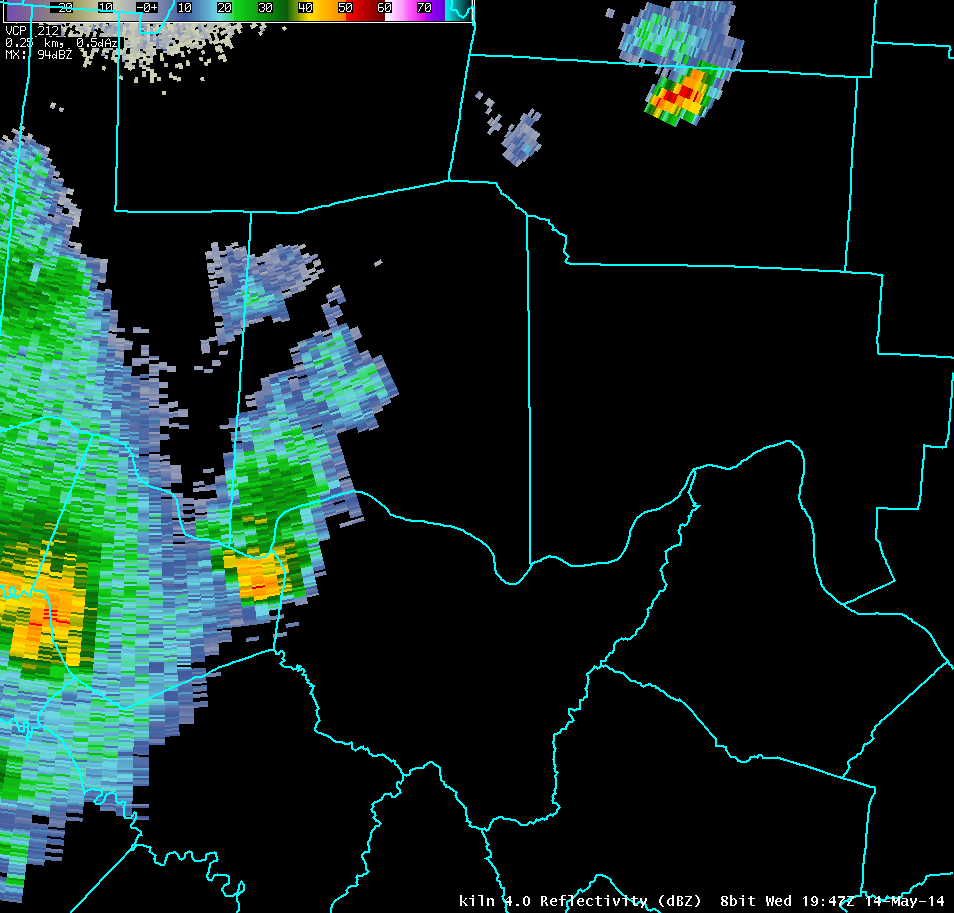
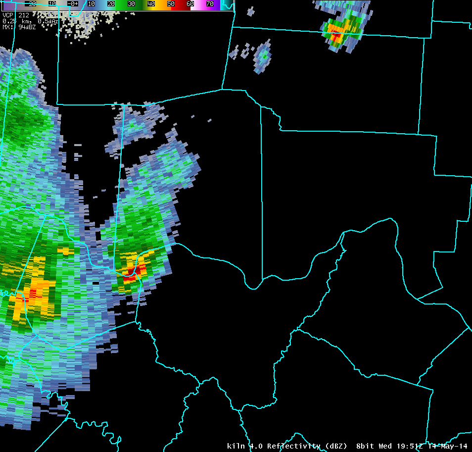
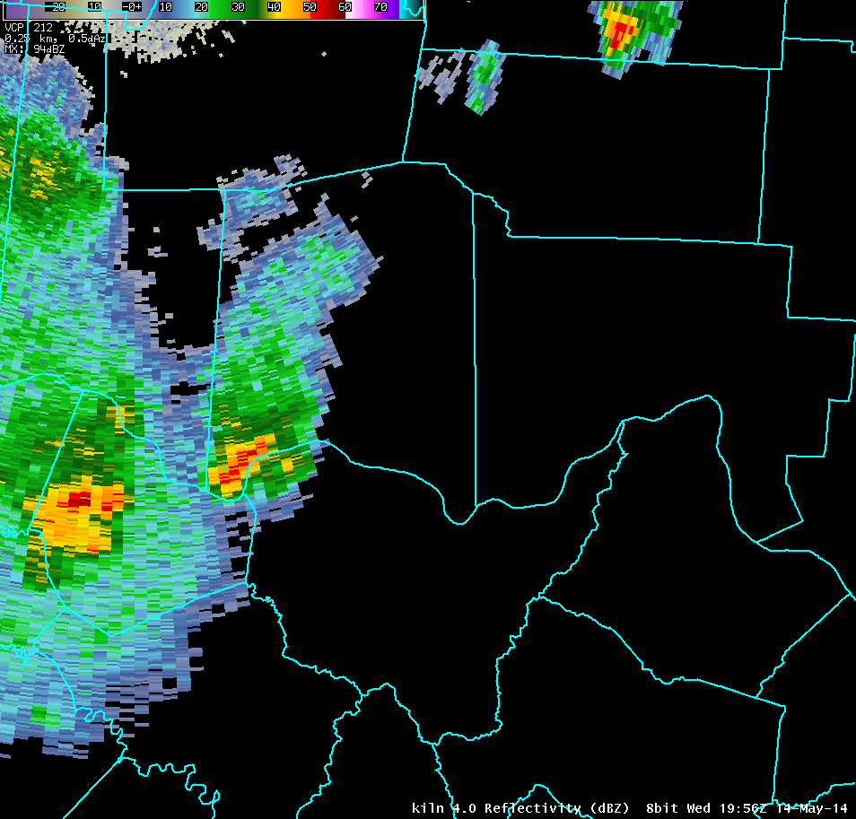
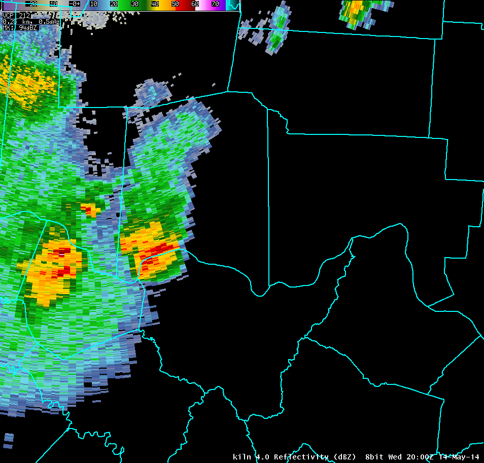
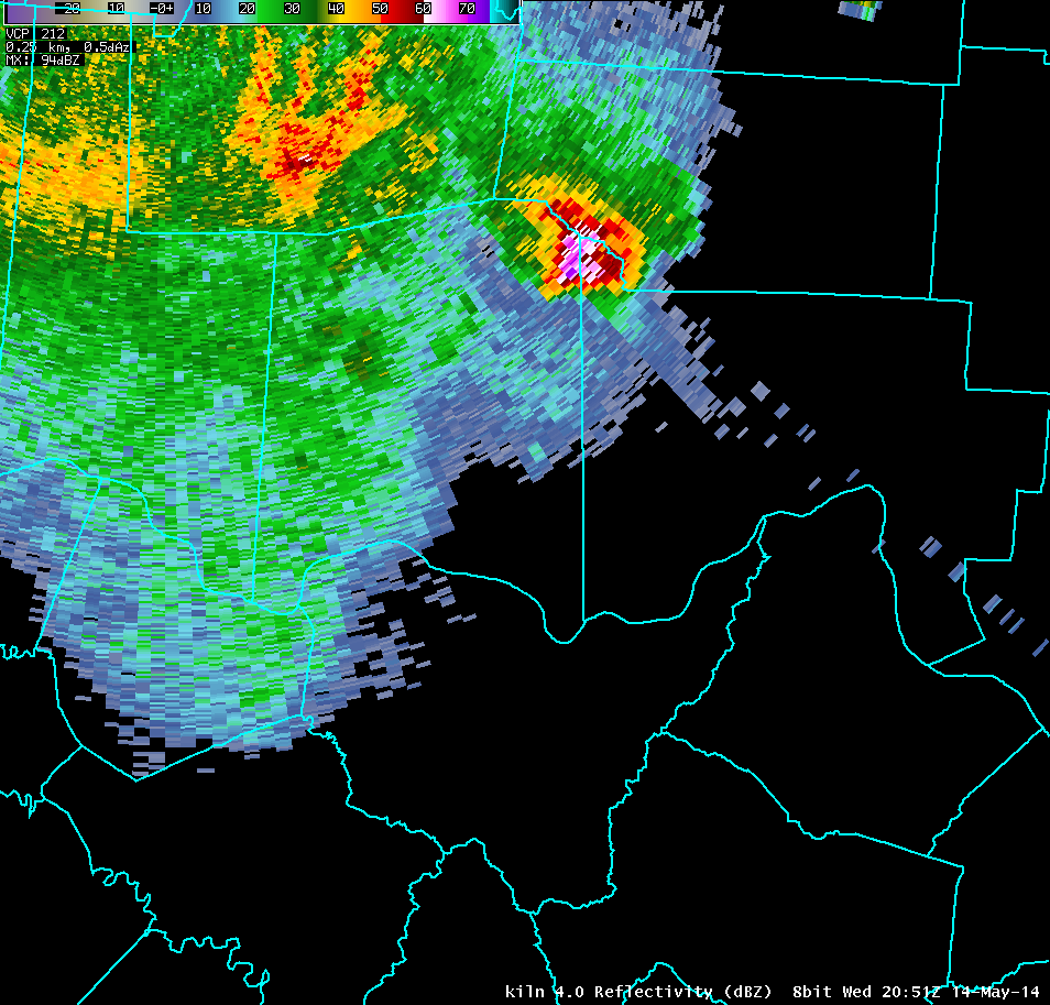
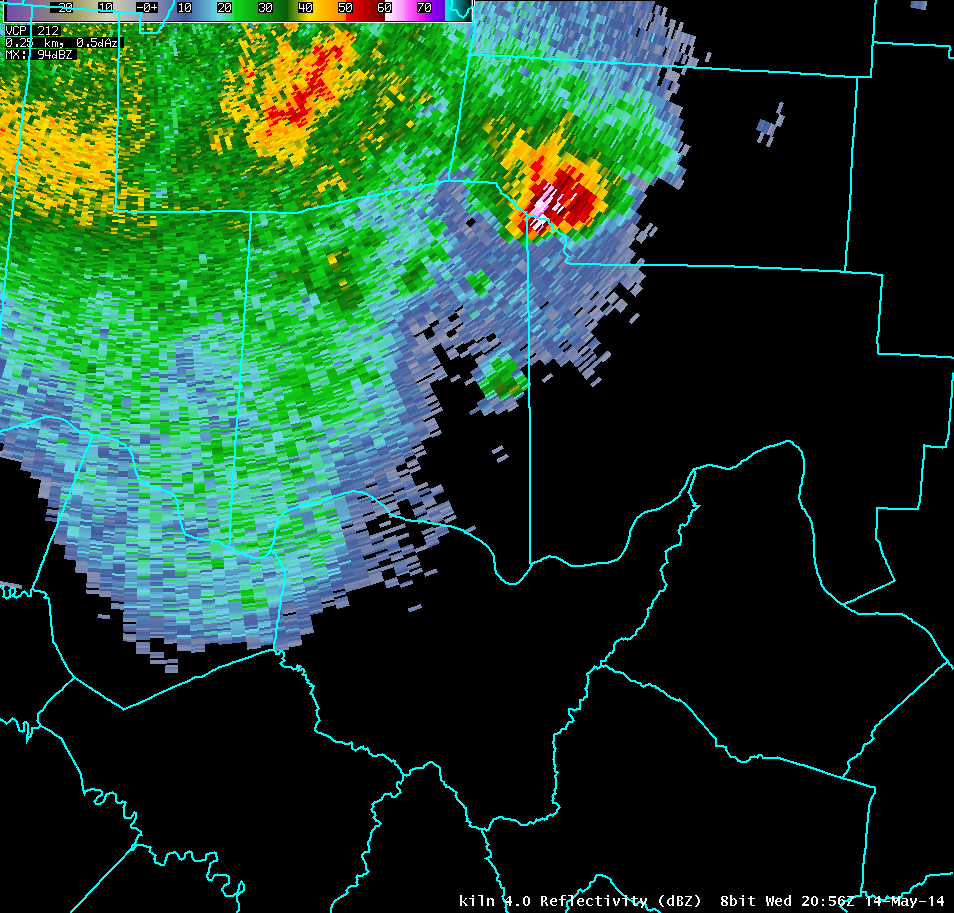
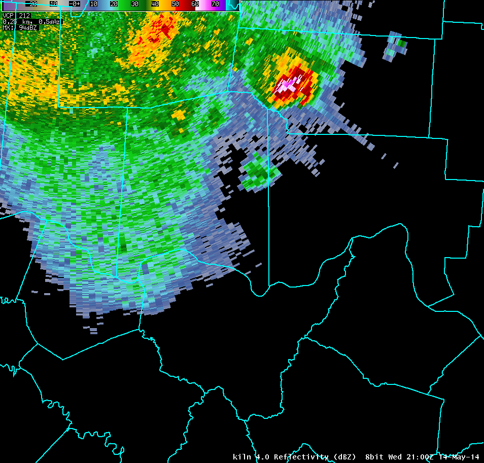
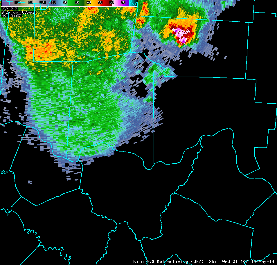
| Full Radar Loops from NWS Wilmington Ohio (3:08 PM - 5:14 PM) | Storm Statistics |
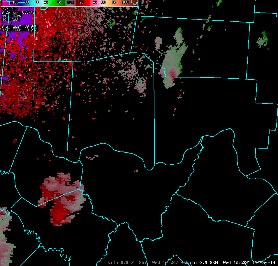
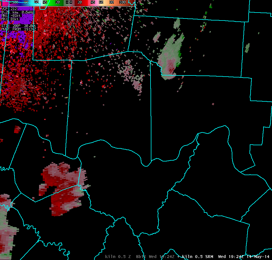
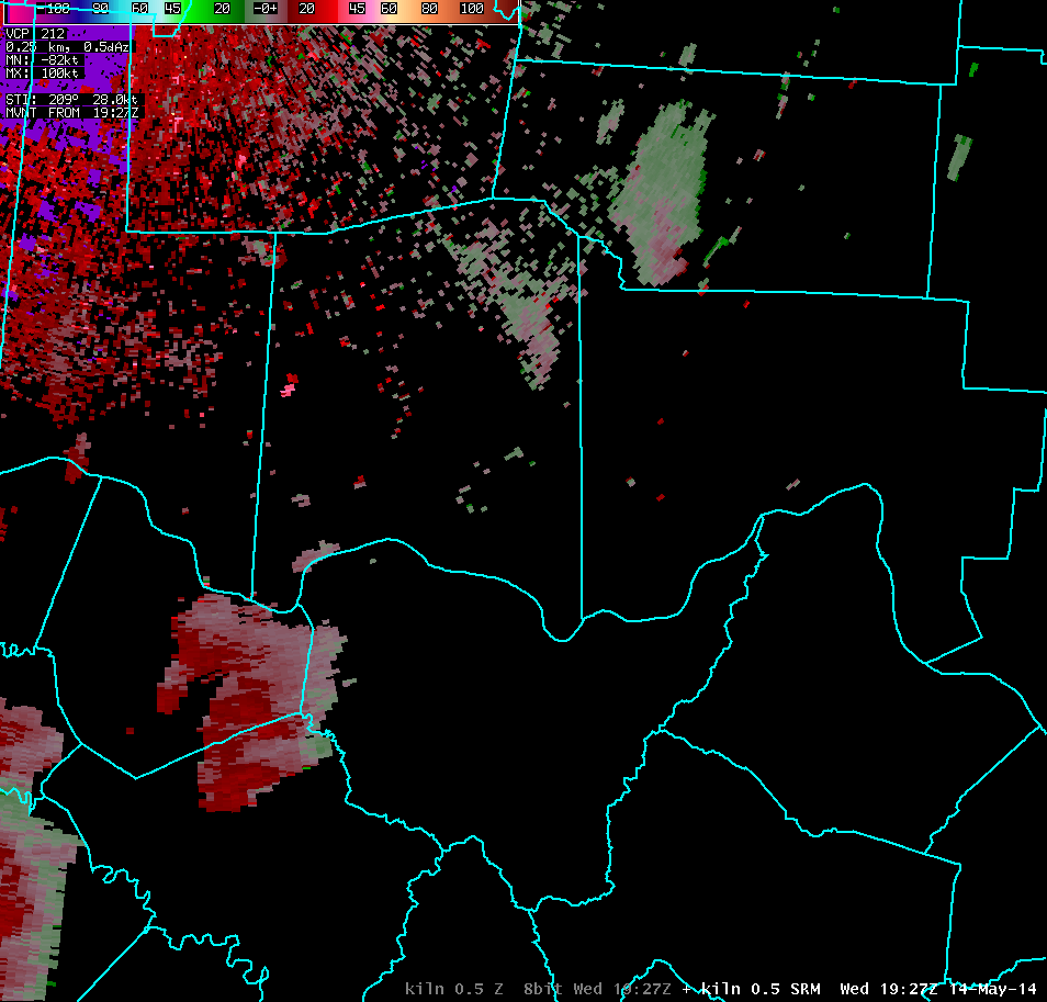
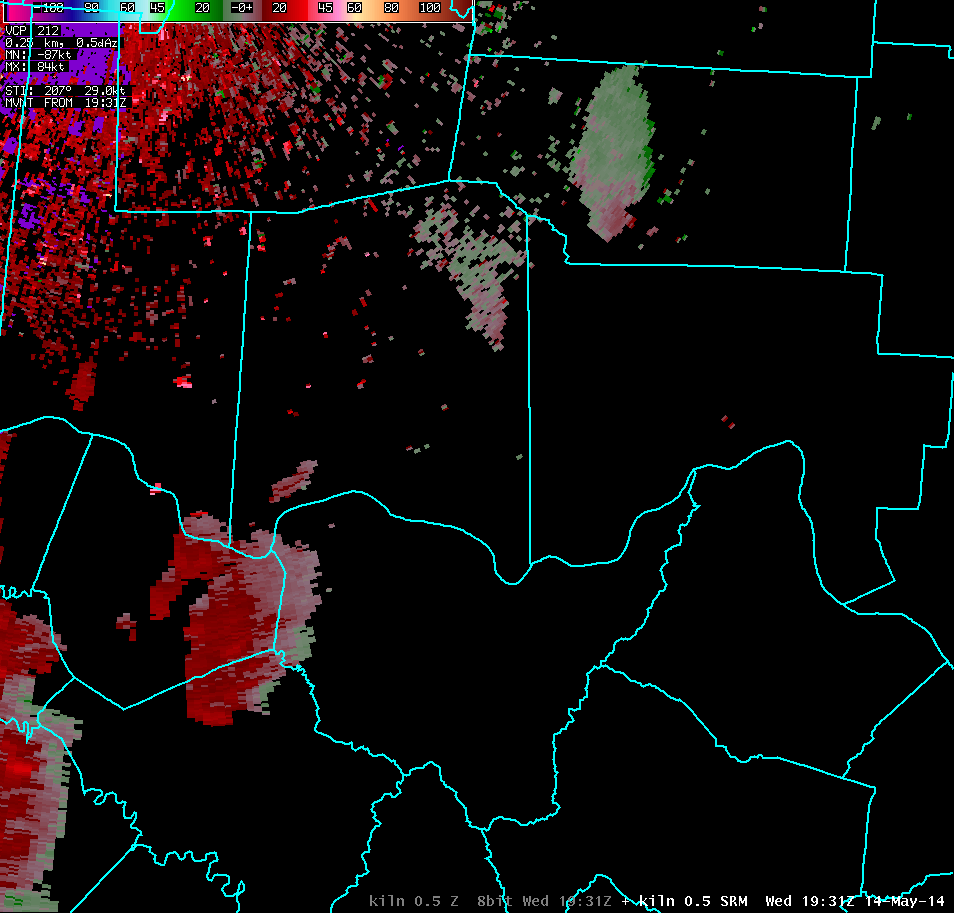
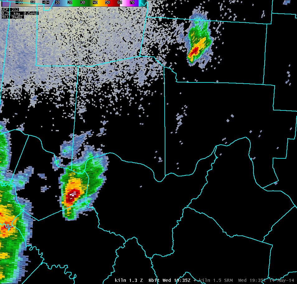
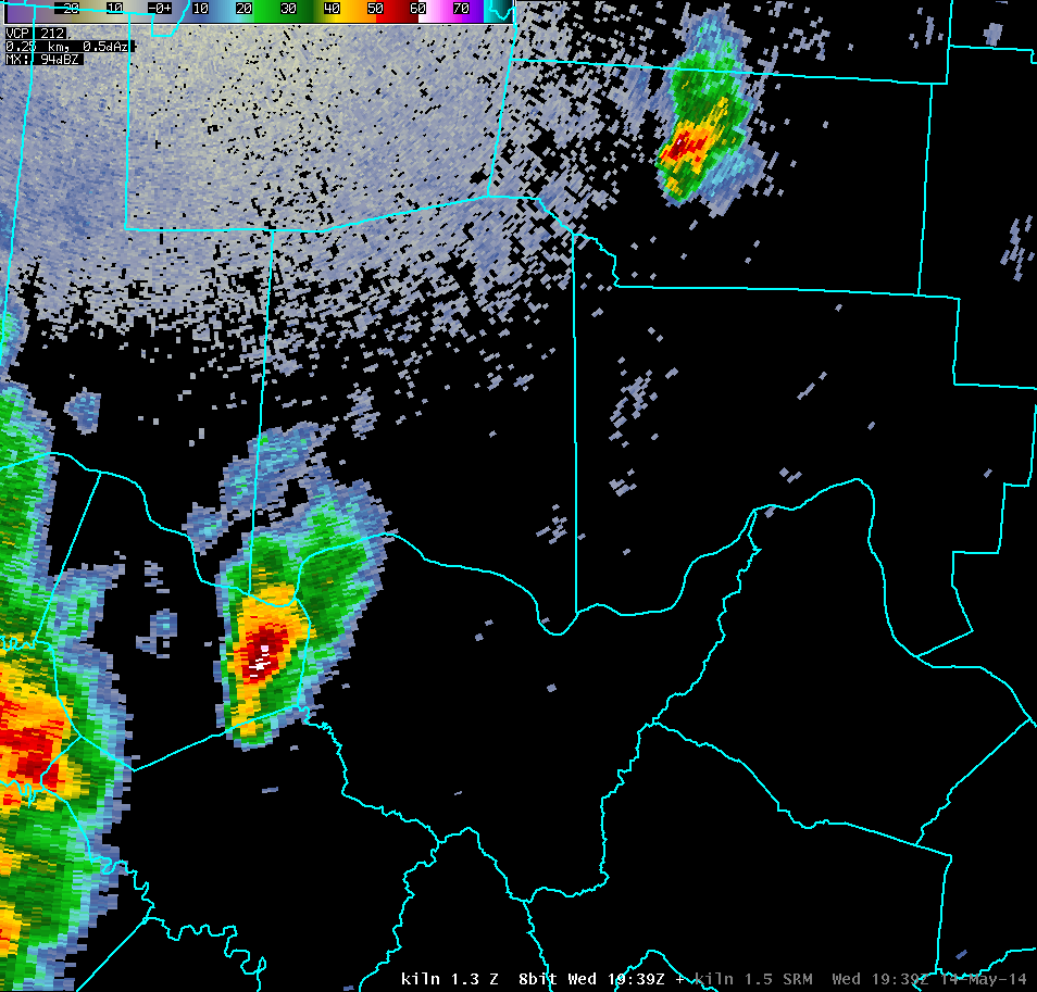
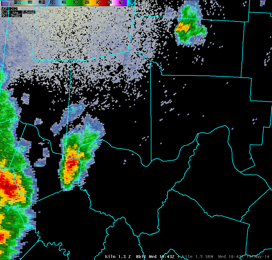
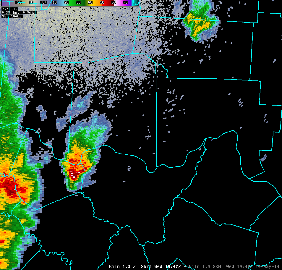
| KILN 0.5° Reflectivity (3000-4000 feet AGL) | Animation |
75 dBZ Height: ~24,000 feet 65 dBZ Height: ~30,000 feet 50 dBZ Height: ~36,000 feet Max Echo Top: ~48,000 feet |
| 1 2 3 4 5 6 7 8 9 10 11 12 13 14 15 16 17 18 19 20 21 22 23 24 25 26 27 28 29 30 | |
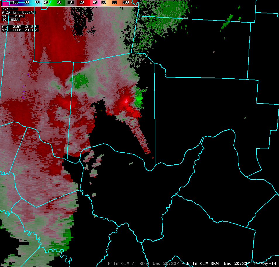
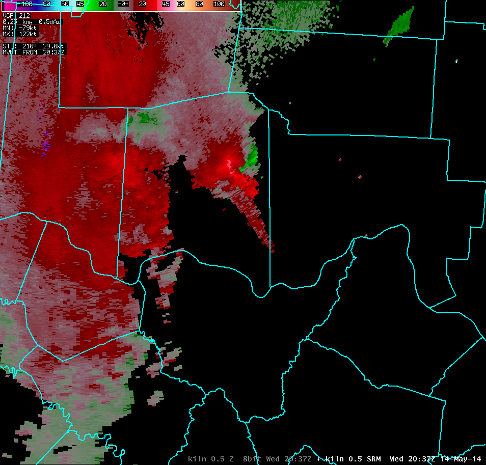
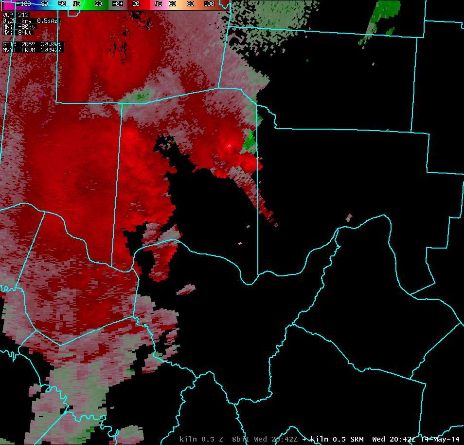
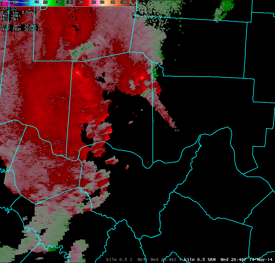
| KILN 0.5° Storm-Relative Motion (3000-4000 feet AGL) | |
| 1 2 3 4 5 6 7 8 9 10 11 12 13 14 15 16 17 18 19 20 21 22 23 24 25 26 27 28 29 30 | |
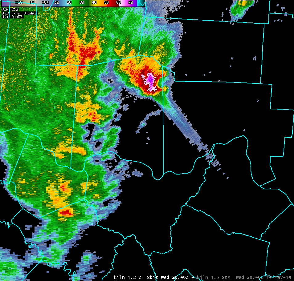
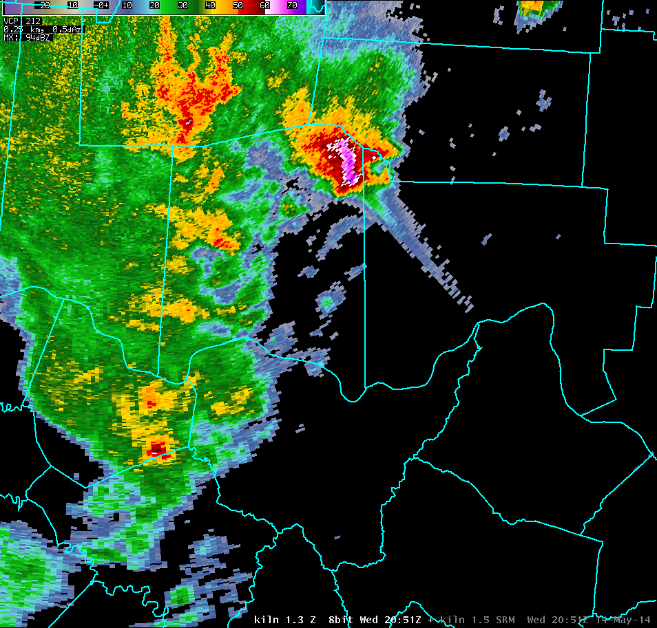
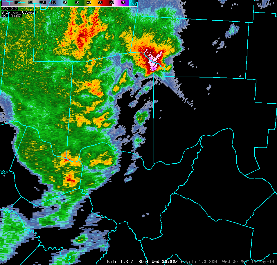
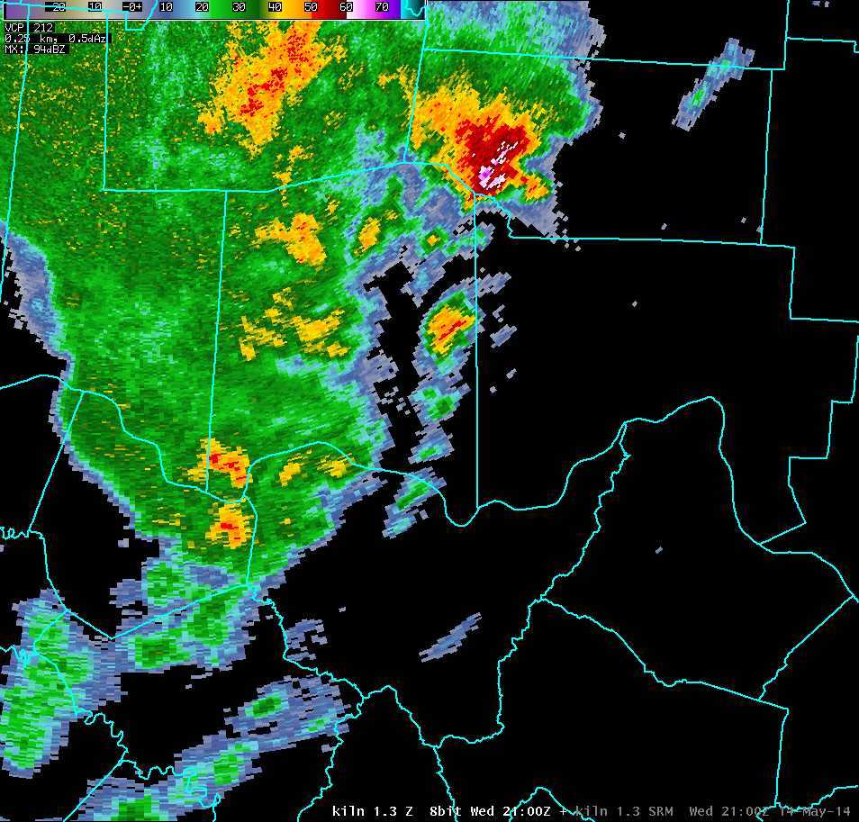
| KILN 1.3° Reflectivity (6000-8000 feet AGL) | |
| 1 2 3 4 5 6 7 8 9 10 11 12 13 14 15 16 17 18 19 20 21 22 23 24 25 26 27 28 29 30 | |
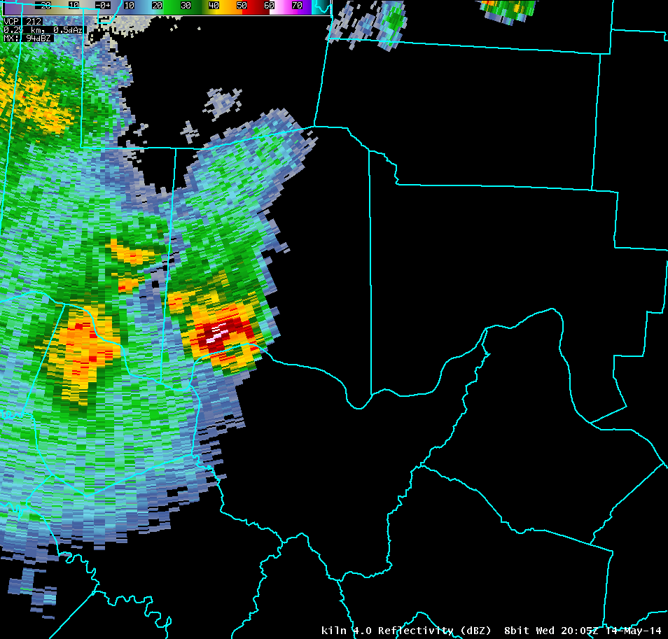
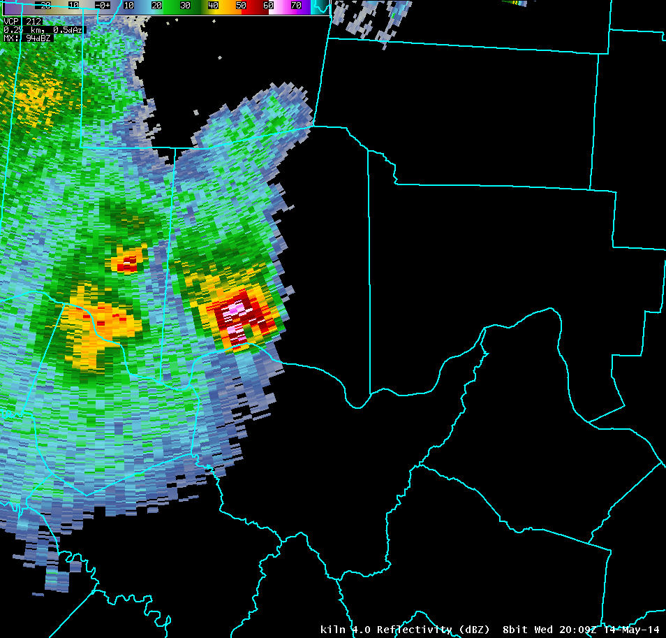
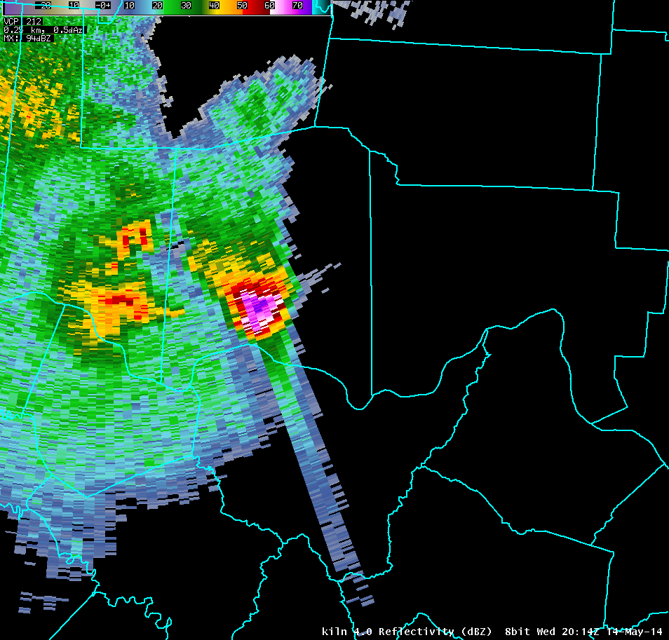
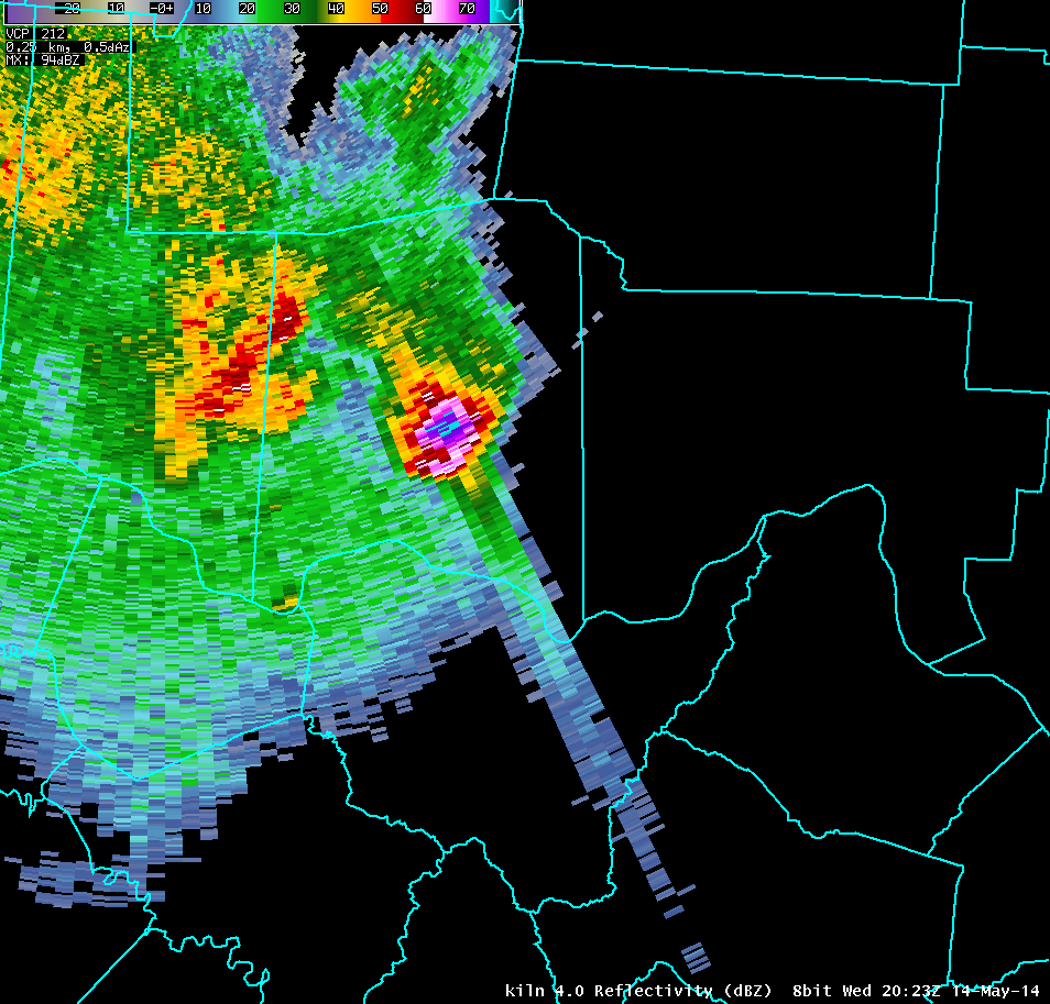
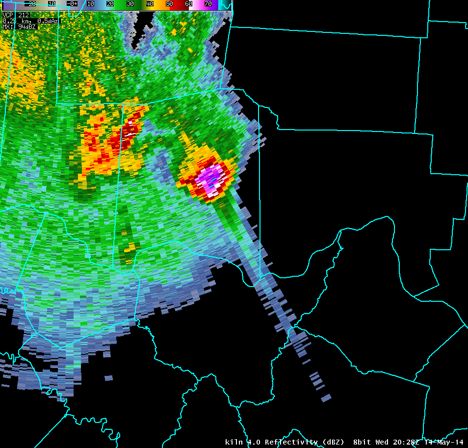
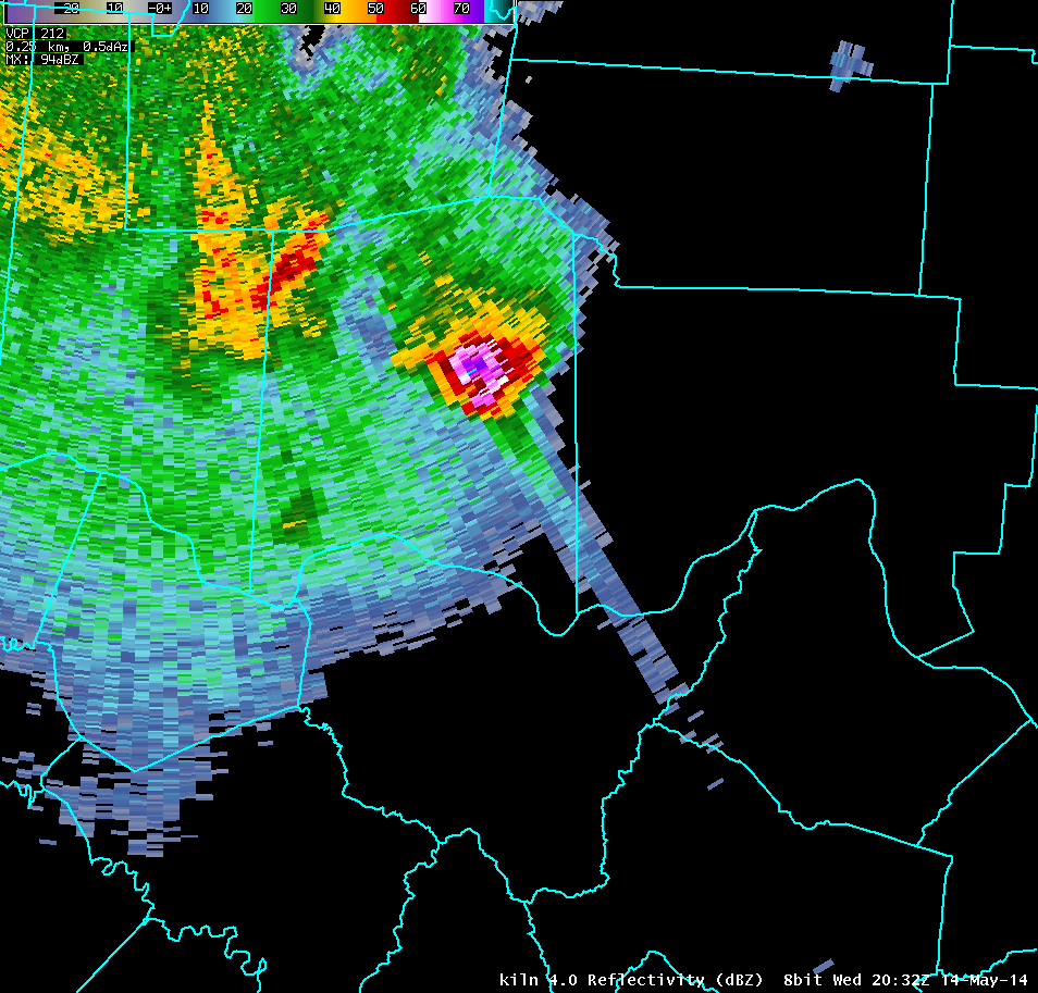
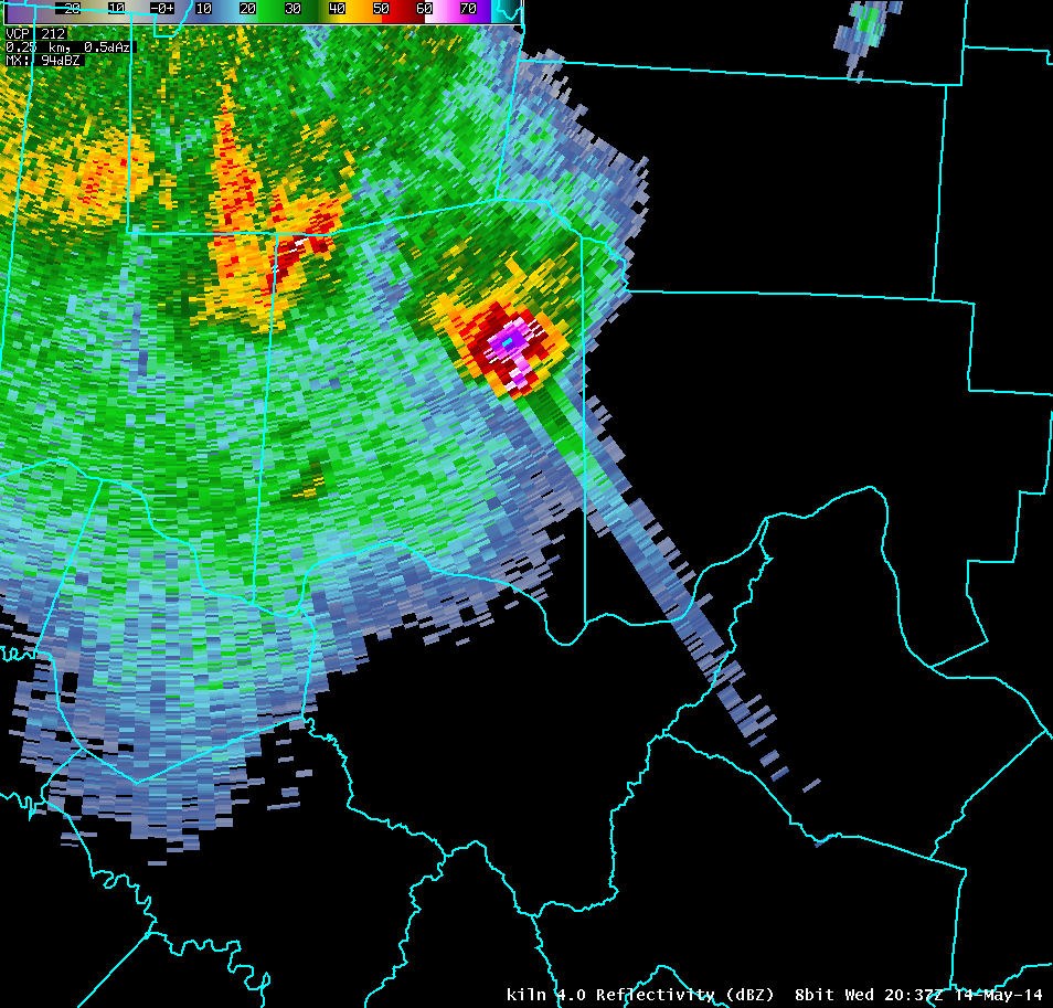
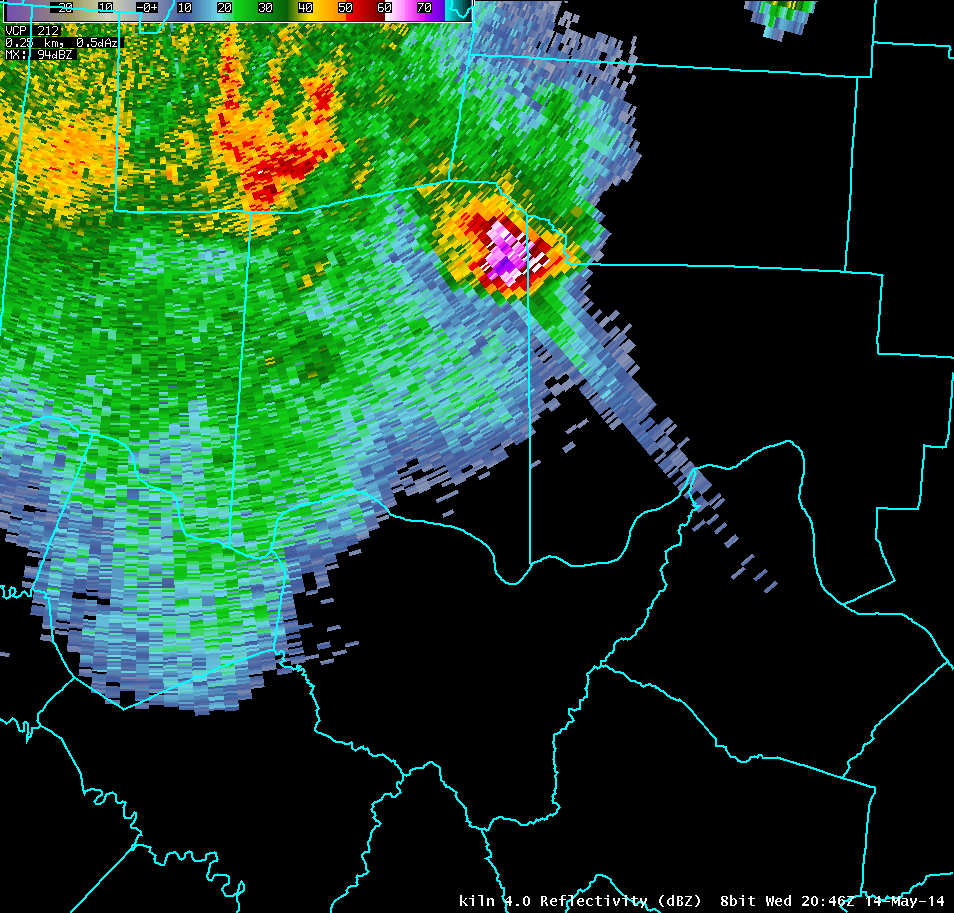
| KILN 4.0° Reflectivity (16000-20000 feet AGL) | |
| 1 2 3 4 5 6 7 8 9 10 11 12 13 14 15 16 17 18 19 20 21 22 23 24 25 26 27 28 29 30 |

