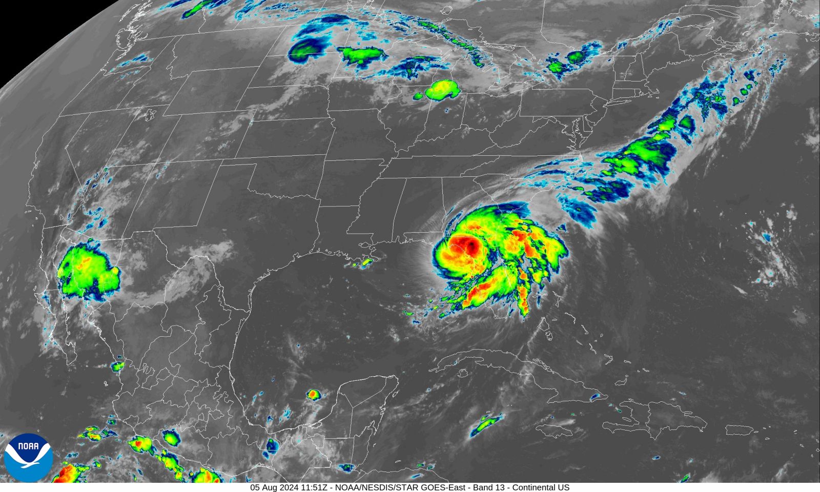
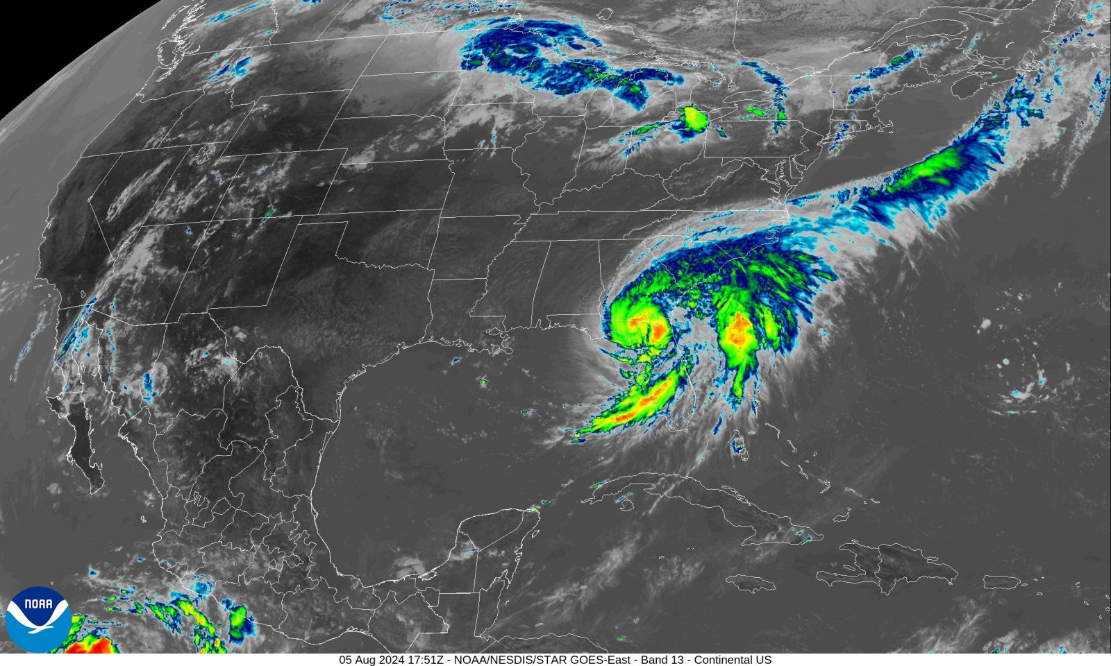
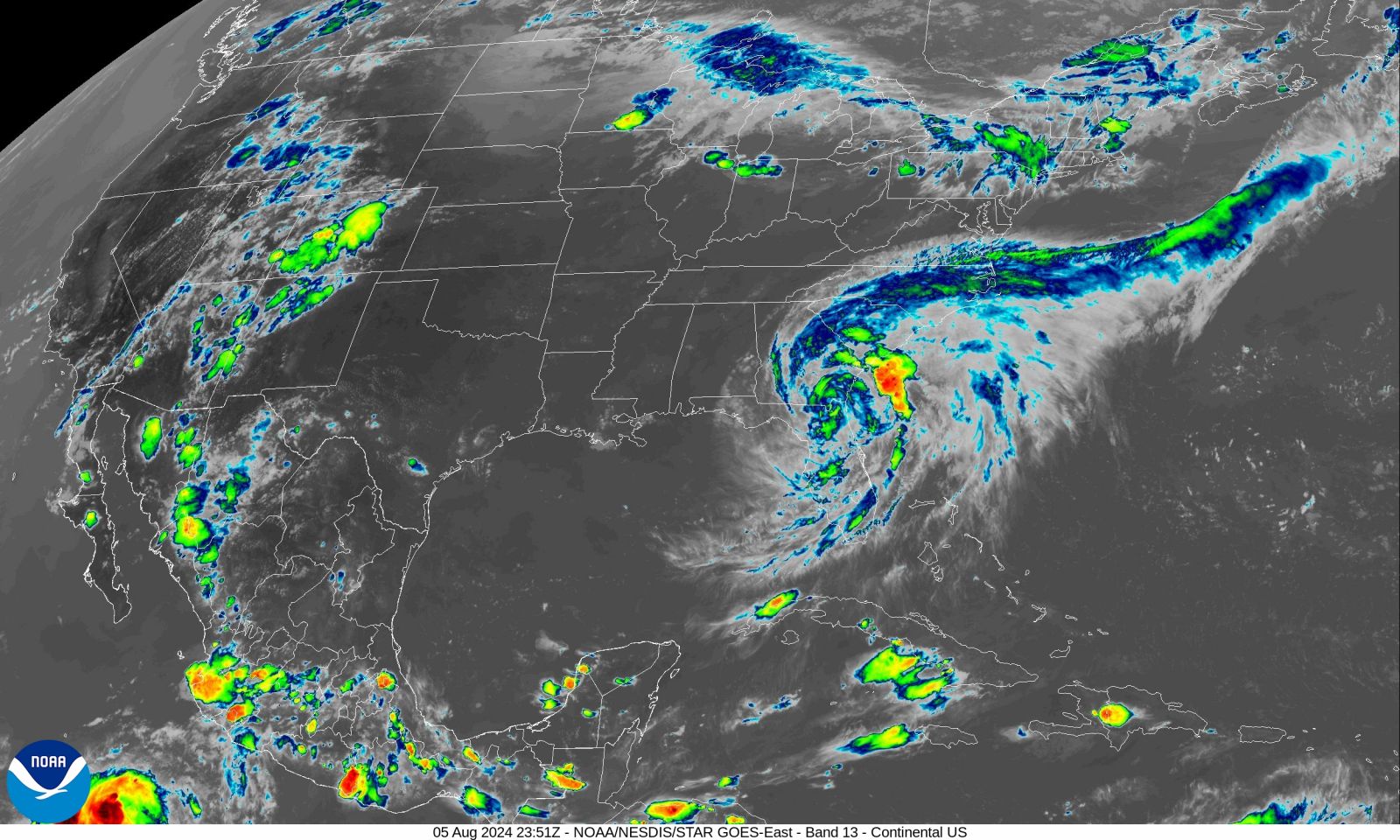
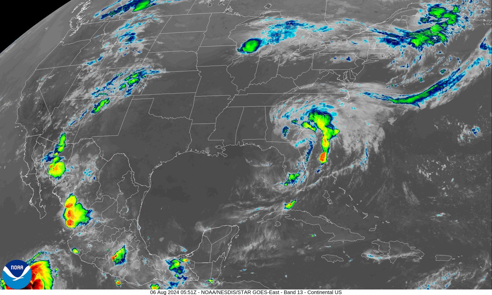
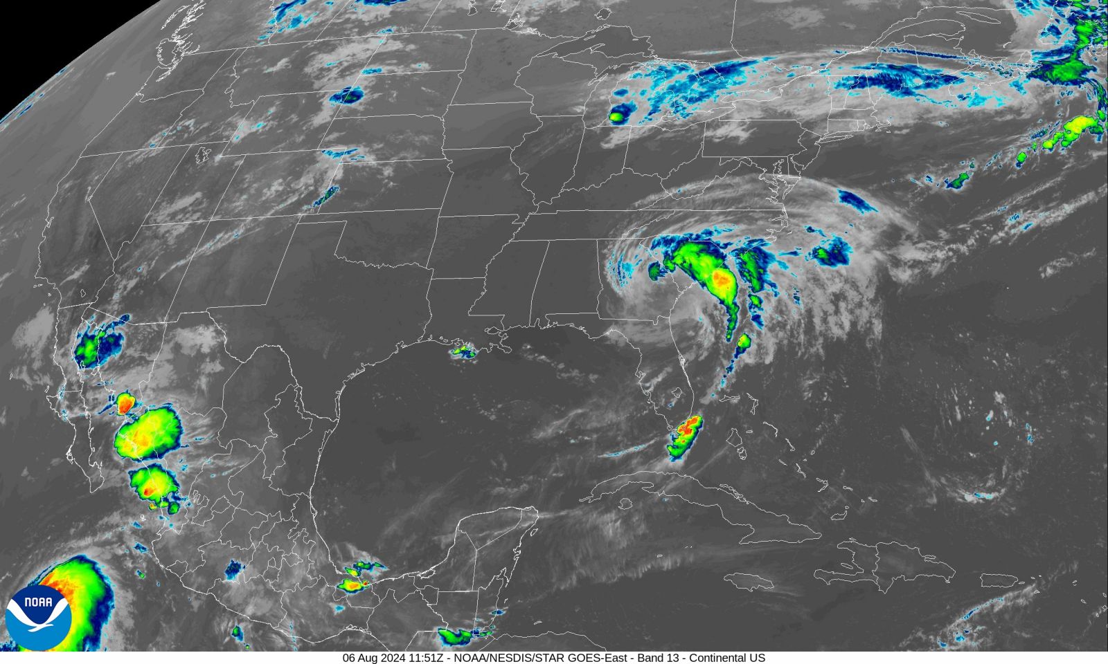
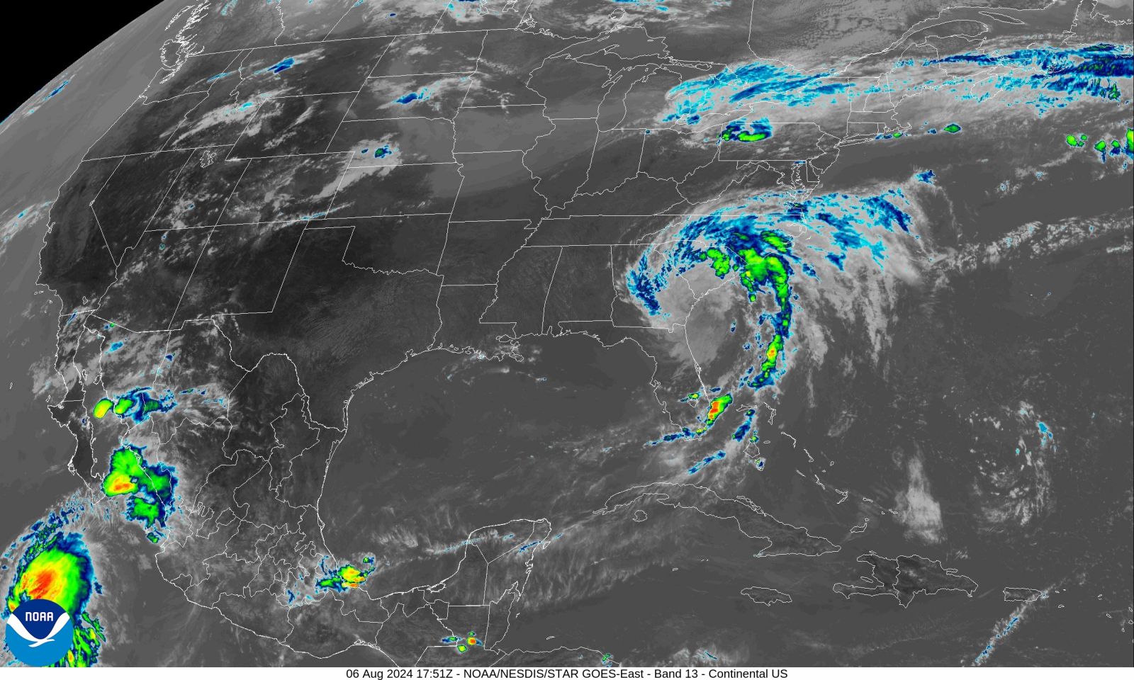
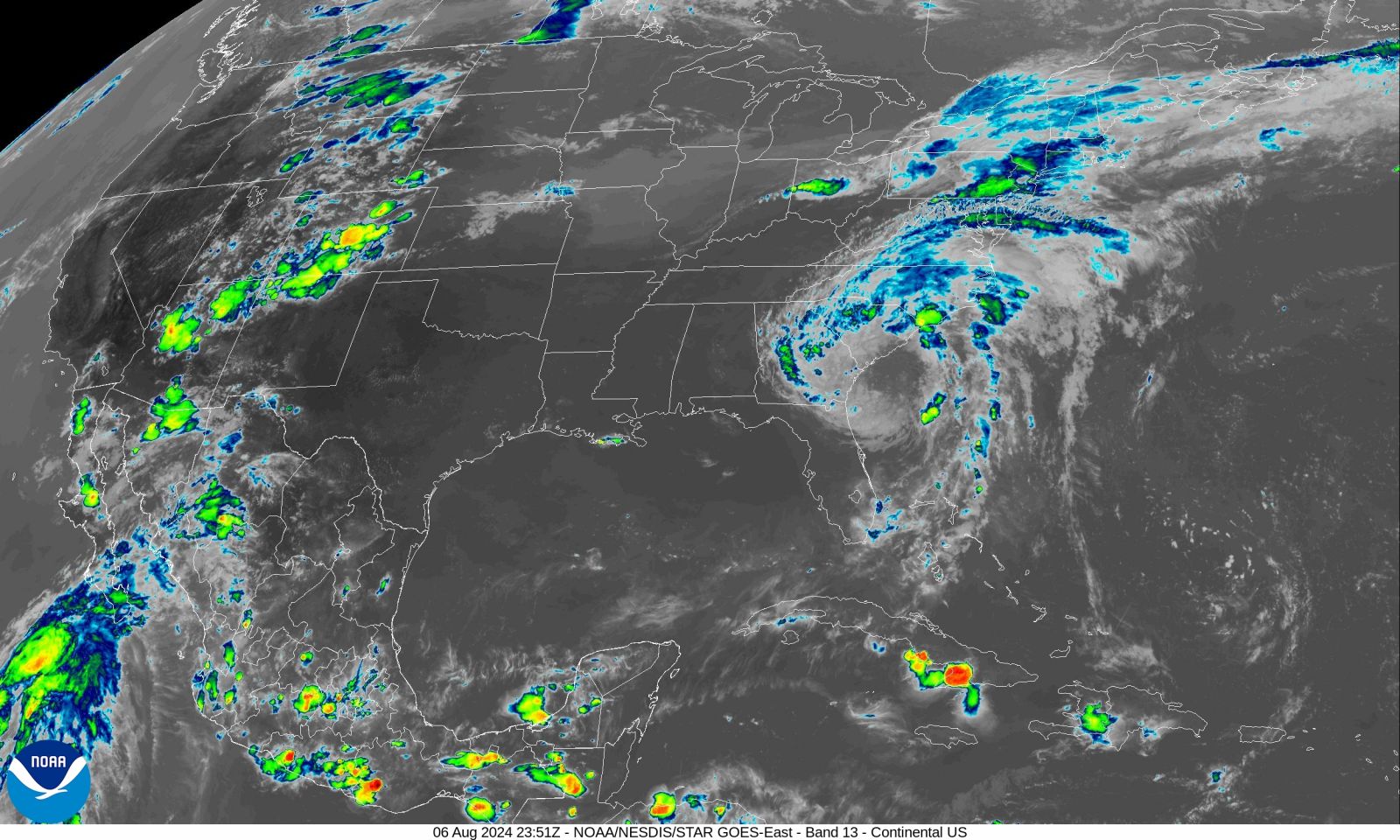
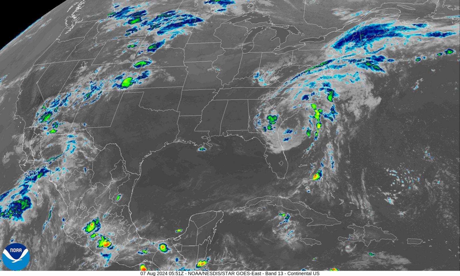
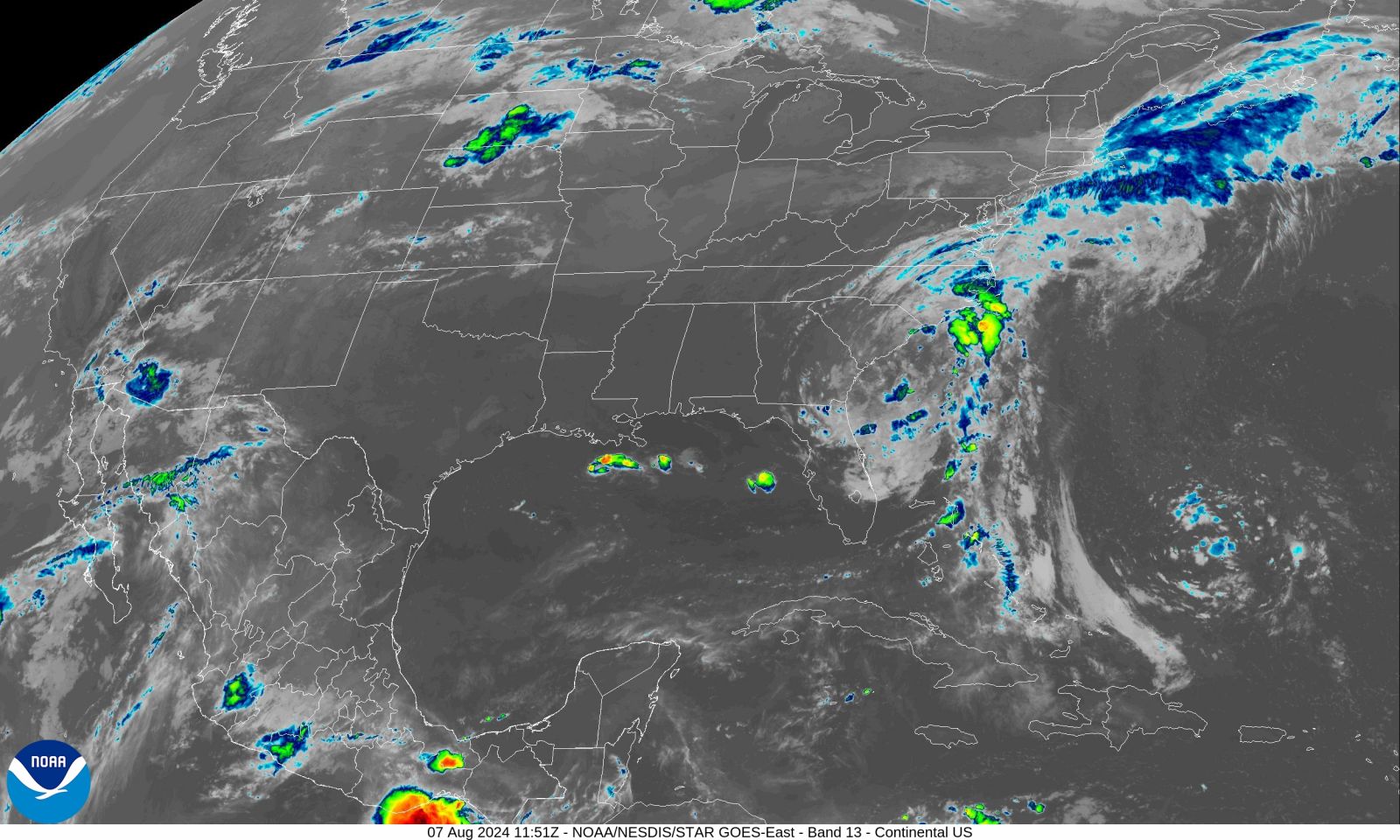
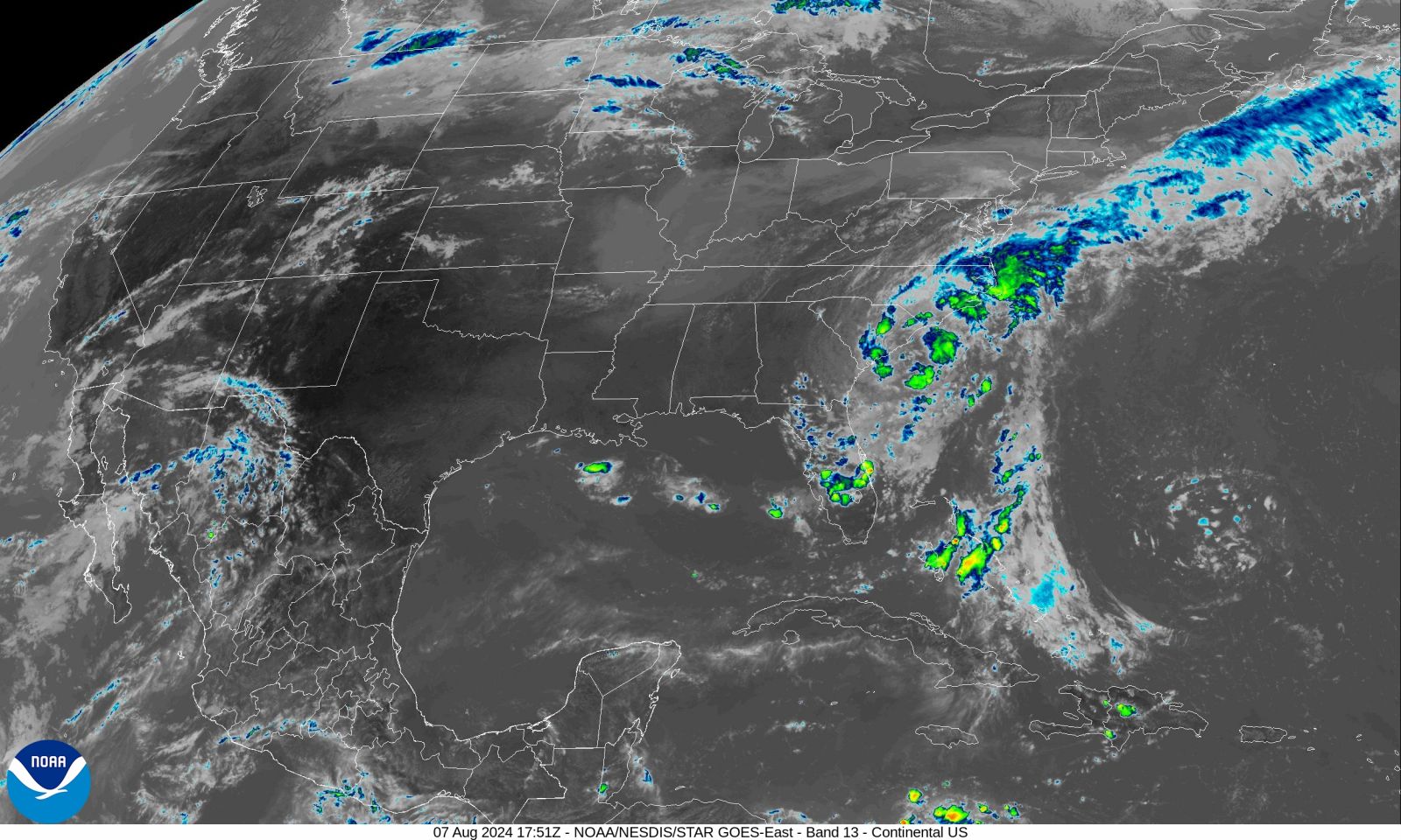
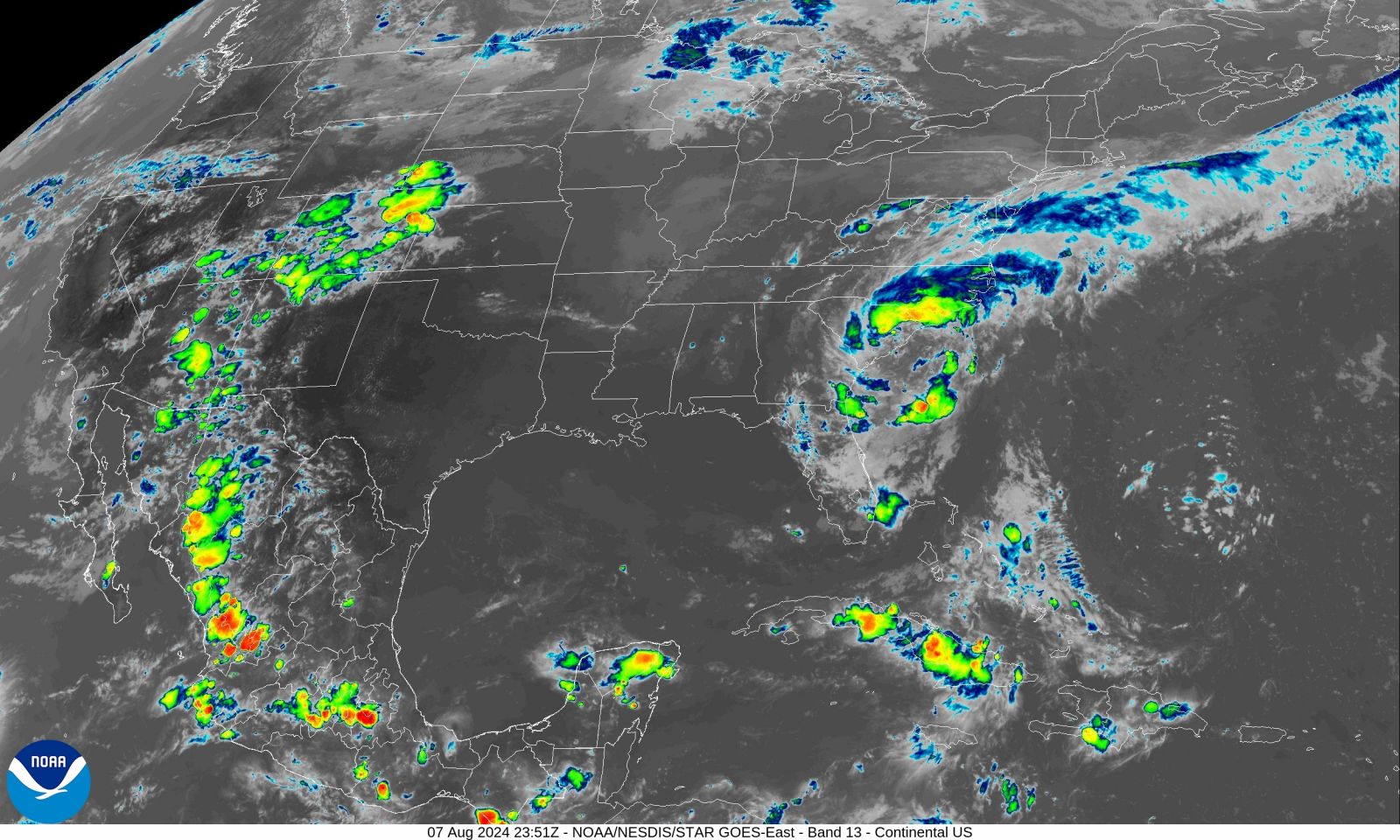
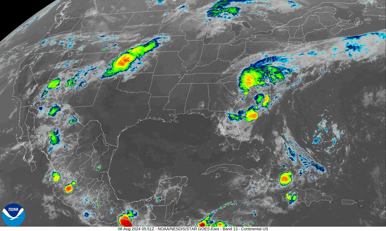
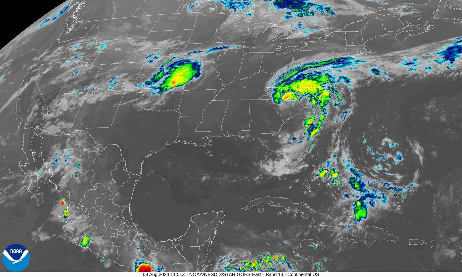
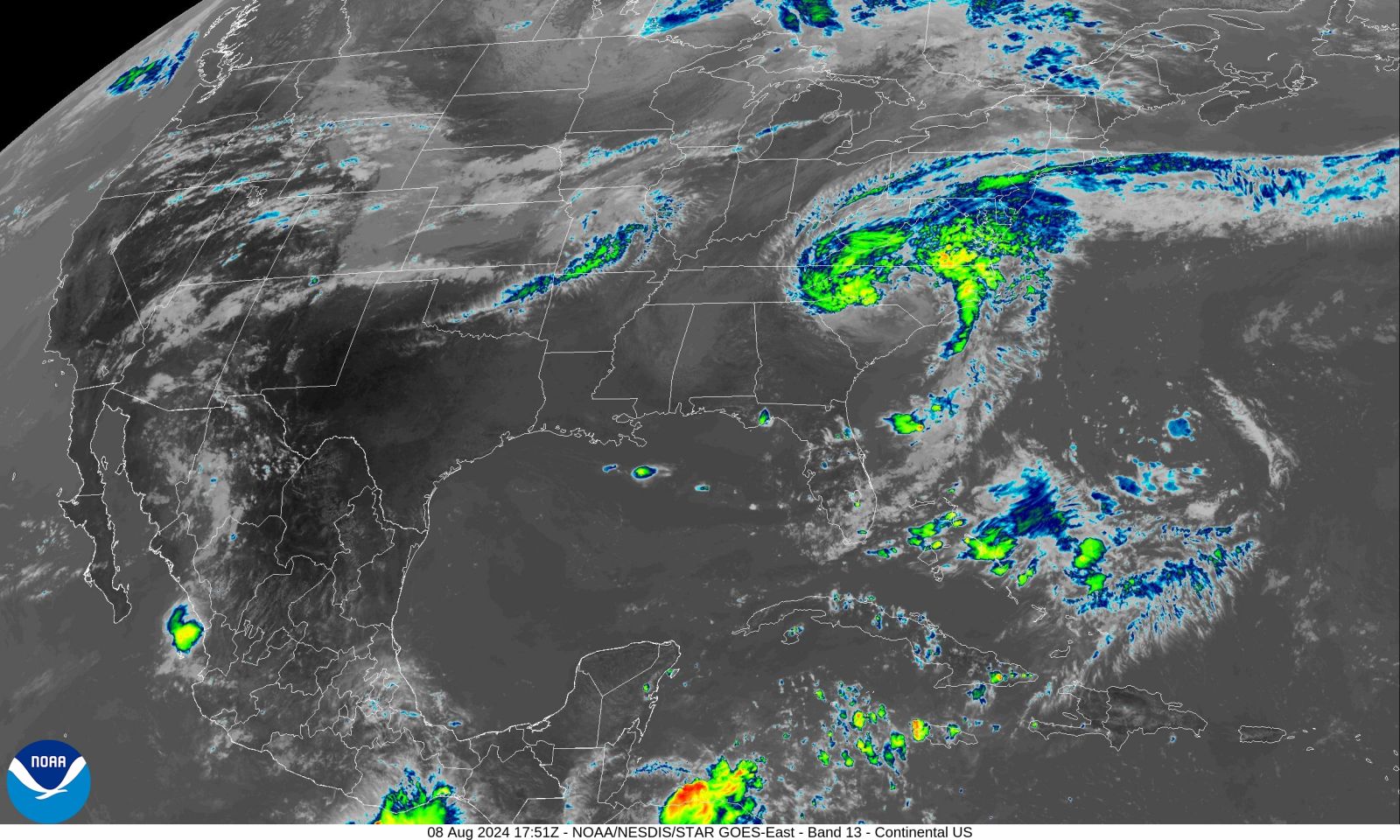
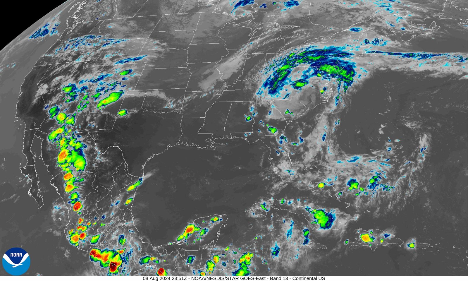
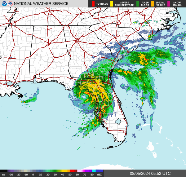
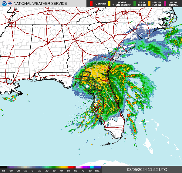
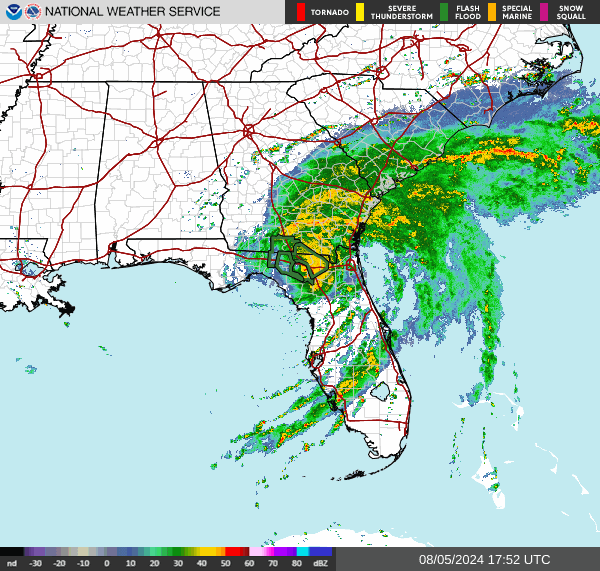
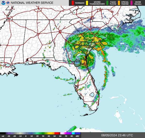
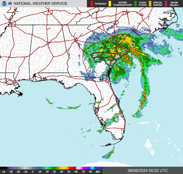
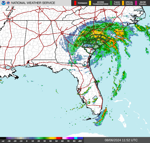
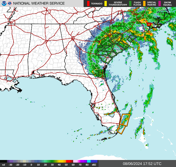
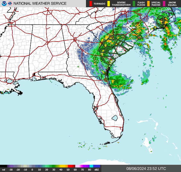
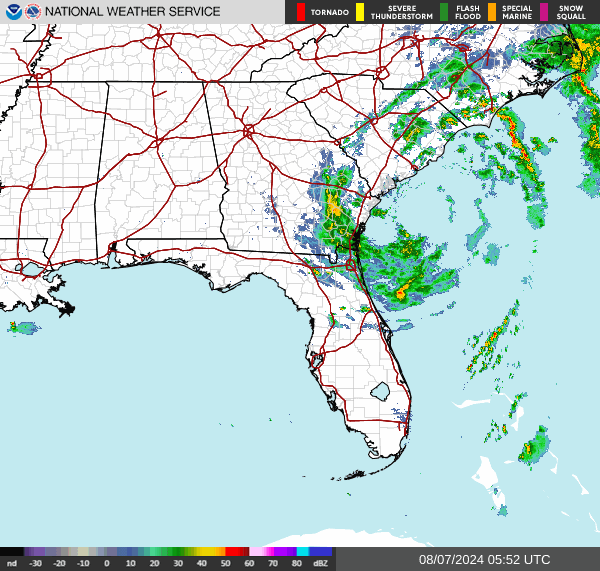
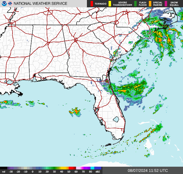
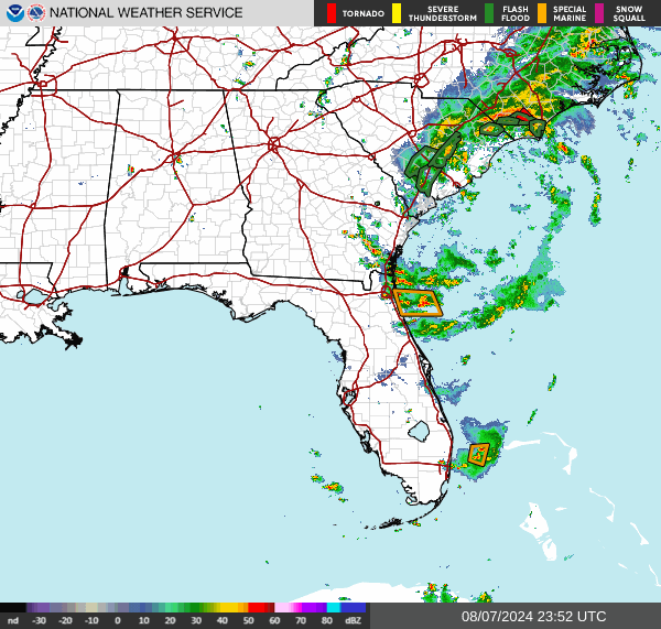
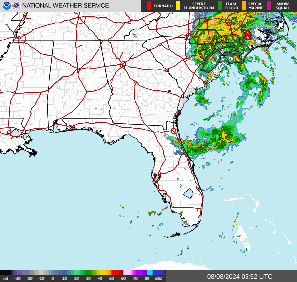
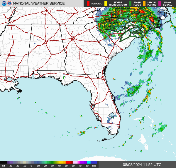
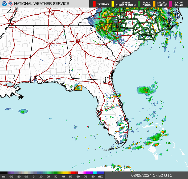
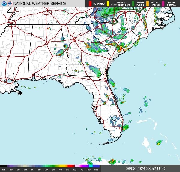
After making landfall in the Big Bend area of Florida as a Category 1 hurricane on August 5, Debby weakened to a tropical storm as it slowly moved across southeastern Georgia and offshore before transitioning to a subtropical storm and making another landfall along the central SC coast around Bulls Bay between Charleston and Georgetown early on August 8. The storm then moved northwest to near the SC/NC border before transitioning to a non-tropical low pressure system later on August 8. The storm's main impact across southeastern NC and northeastern SC was flash/river flooding from heavy rainfall but tropical storm force wind gusts, minor coastal flooding and 3 weak tornadoes also occurred.
Tropical storm force wind gusts up to near 55 mph occurred across the region. The combination of gusty winds and heavy rain led to some downed trees and power lines.
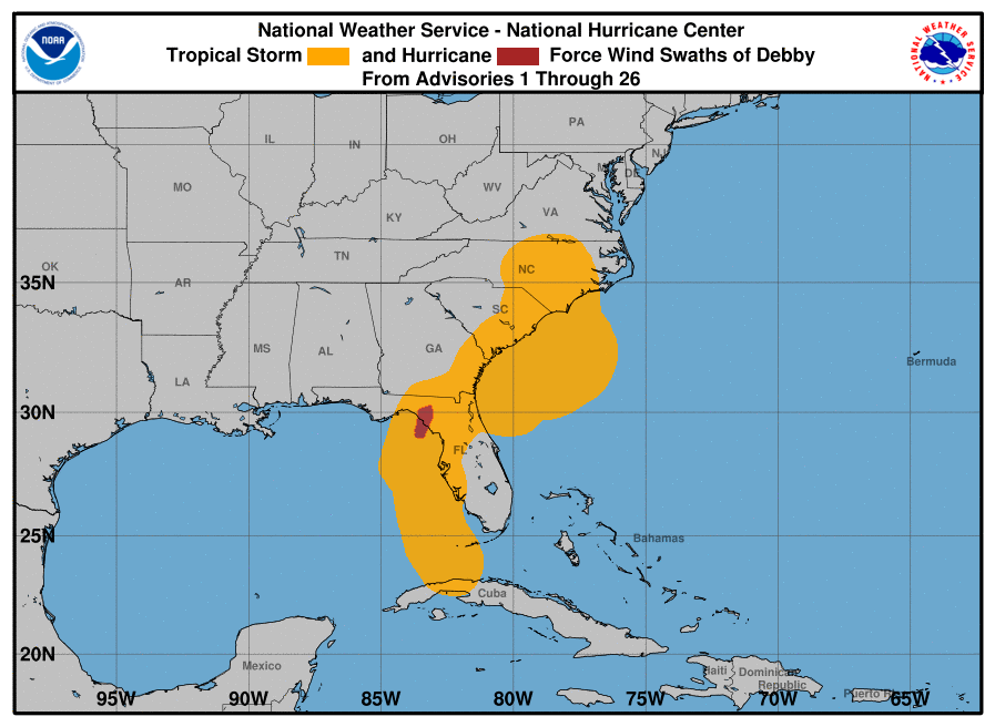 NHC Tropical Storm and Hurricane Force Wind Swaths of Debby |
|
|||||||||||||||||||||||||||||||||||||||||||||||||||||||||
Widespread heavy rain fell across southeastern NC and northeastern SC with totals generally ~5-10" inland and along the coast and a wide swath of 10-15+" between I-95 and the coast. As shown in the table below, the highest rainfall total observed from 8 AM August 5 to 8 AM August 9 was 19.03" along the Waccamaw River in Horry County, SC. The heavy rainfall caused significant flash flooding across much of the area as well as significant river flooding for several weeks after the storm with several locations reaching moderate to major flood levels. In fact, the Waccamaw River near Conway, SC crested at 14.9 ft (~1 foot above major flood stage) almost 2 weeks after the storm and didn't fall below minor flood stage (11 ft) until August 31.

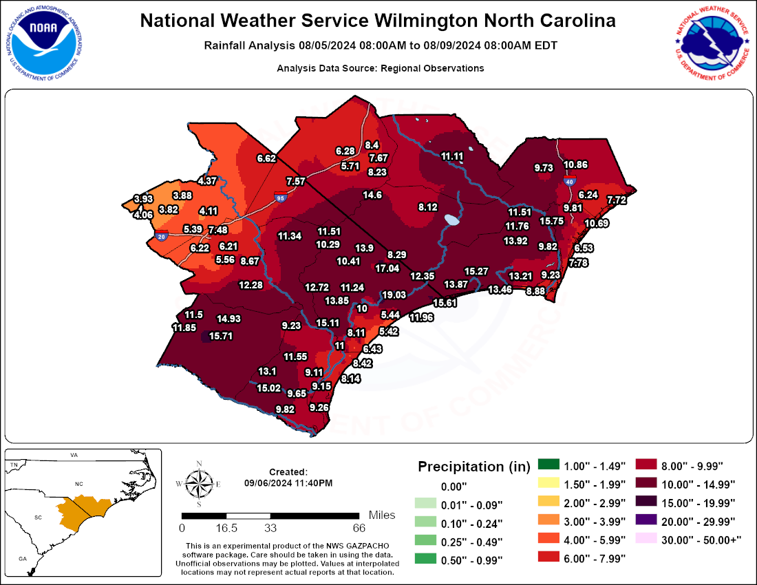 Rainfall Observations from 8 AM 8/5/24 to 8 AM 8/9/24 |
|
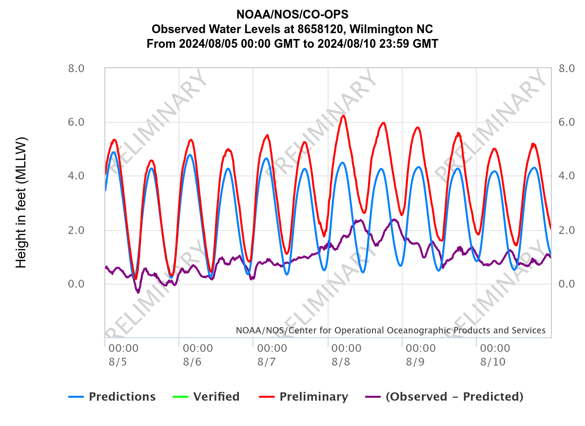
High storm tides led to several rounds of minor tidal flooding along the Cape Fear River around Wilmington, NC.
Three weak tornadoes were confirmed, including 2 EF-0 tornadoes in Pender County, NC and an EF-0 in Brunswick County, NC.
Page Author: Bob Bright
Last Updated: February 2, 2025


 Coastal Flood
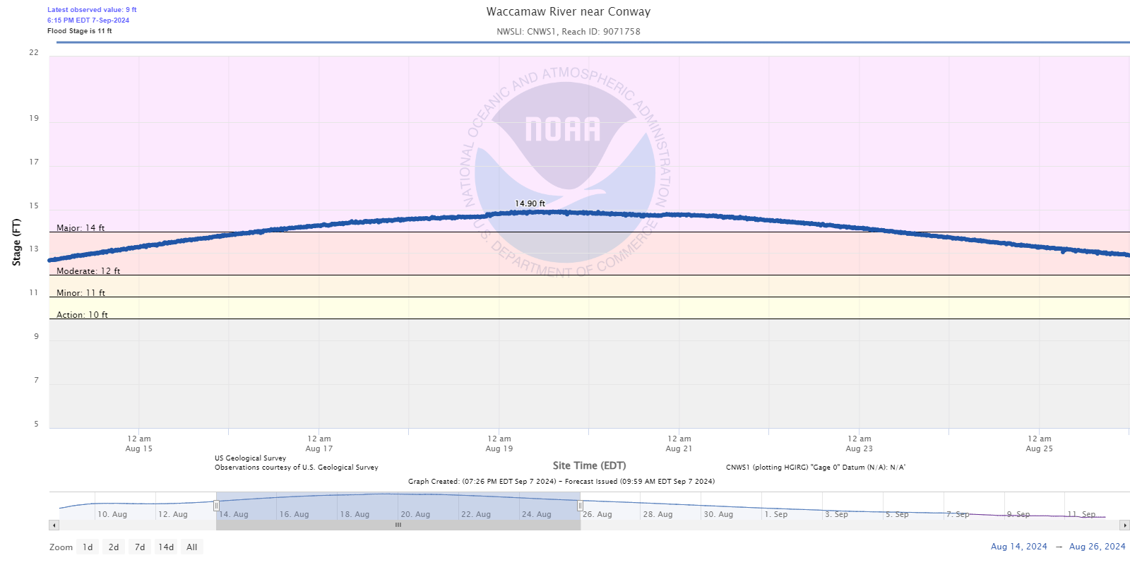