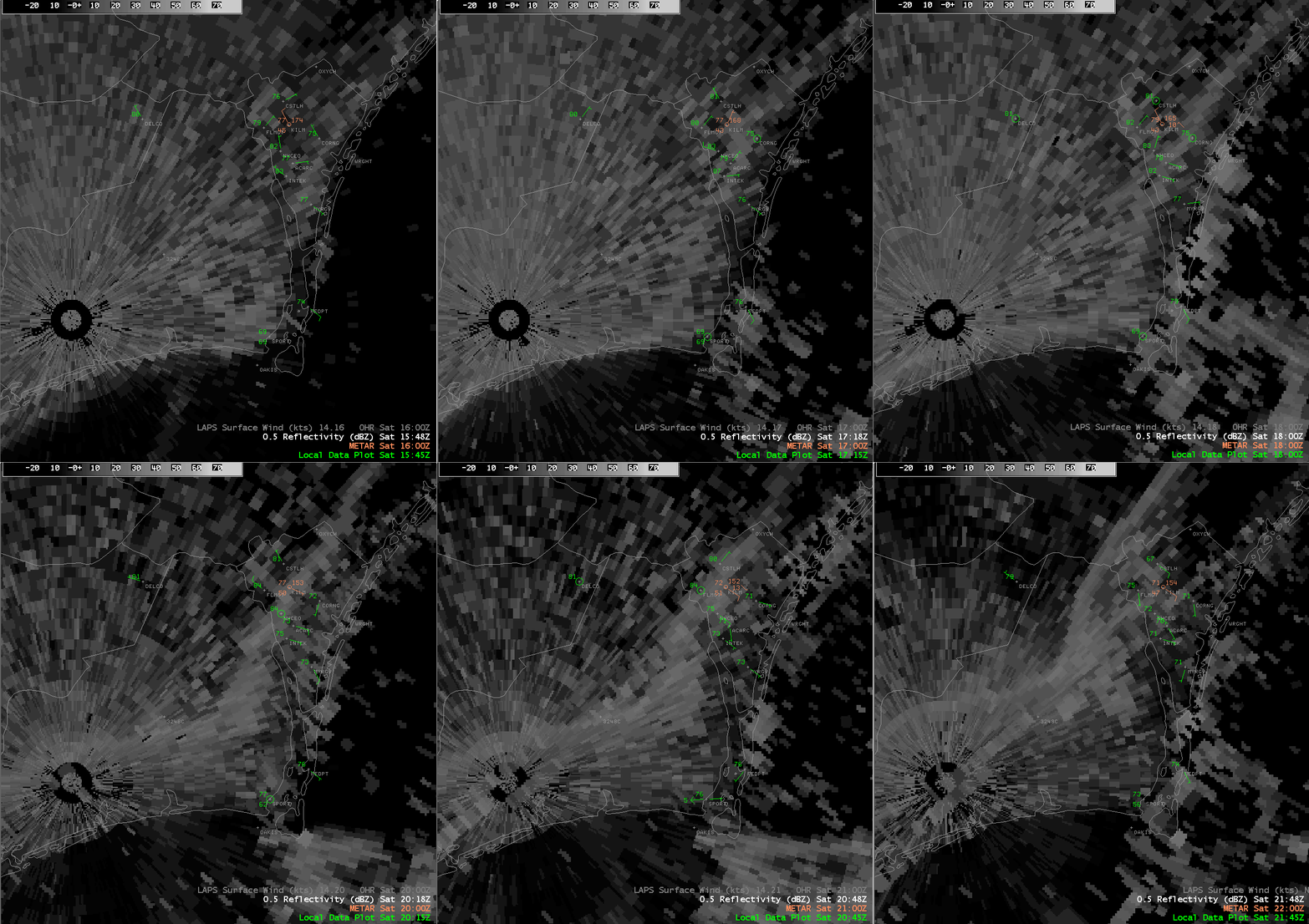
On April 14th, 2001, a well defined seabreeze boundary developed during the early afternoon hours and moved inland across Brunswick and New Hanover counties. Seabreezes form when the land warms during the day, but the ocean water remains cool. When the difference in temperature between the land and the water reaches a critical threshold, the cooler air over the water surges inland like a miniature cold front. Often during the summer months, this seabreeze boundary is the focus for afternoon showers and thunderstorms.
When there is a strong offshore (west or northwest) wind blowing, the seabreeze will not be able to move inland. On radar, the boundary will appear along the coast but remain stationary throughout the day. When there is an onshore wind, the seabreeze can make incredible progress inland. Radar has shown the seabreeze to make it as far as Fayetteville and Raleigh on rare occasions.
On this particular day, the seabreeze developed by noon (16Z) and was located approximately 2 miles inland from the New Hanover county coastline. This is shown on the image as a "fine line" of reflectivity running between Wrightsville Beach (WRGHT) and the Corning plant (CORNG), south to near Myrtle Grove (MYRGV). Notice the wind direction at Myrtle Grove is southeast. The seabreeze makes steady progress inland and passes through the Wilmington airport (KILM) by 4 PM (20Z). Notice how the temperature drops and the wind direction shifts to southeast as the boundary passes each station. This is how you can determine when the seabreeze has passed by your location - the temperature often drops 4 to 8 degrees and the wind direction will become more onshore.
Around sunset, the temperature contrasts which fueled the seabreeze begin to fade as the land cools. Once the temperature of the land and the water are the same, there is nothing to push the seabreeze any further inland, and the boundary quickly dissipates.
RADAR AND SURFACE OBSERVATION LOOP (NOON - 6 PM 4/14/2001)

NOTE! This loop may take 3 to 5 minutes to load completely on a phone line internet connection. Please be patient!
Page created 4/20/2001 by Tim Armstrong