NWS Wilmington, NC
Weather Forecast Office
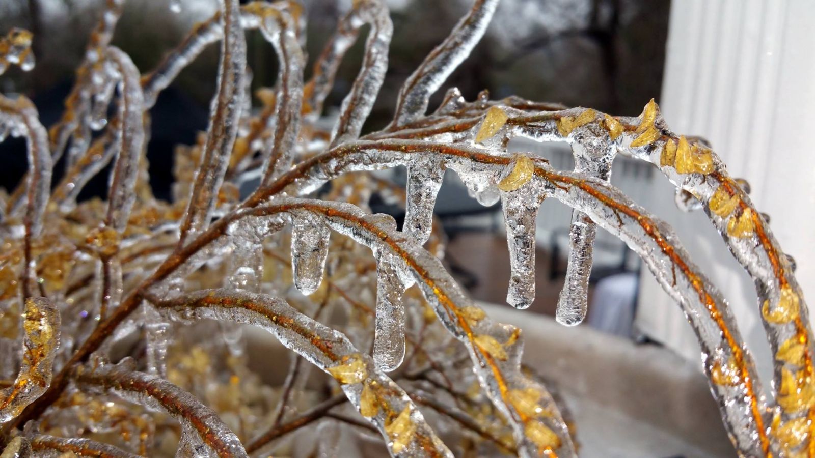
Arctic high pressure on February 16th brought a cold and very dry airmass into the Carolinas. As the high shifted offshore, warmer and more humid air off the Florida and Georgia coast returned northward over a warm front. Freezing rain developed where this moisture rode up and over the sub-freezing air at the surface.
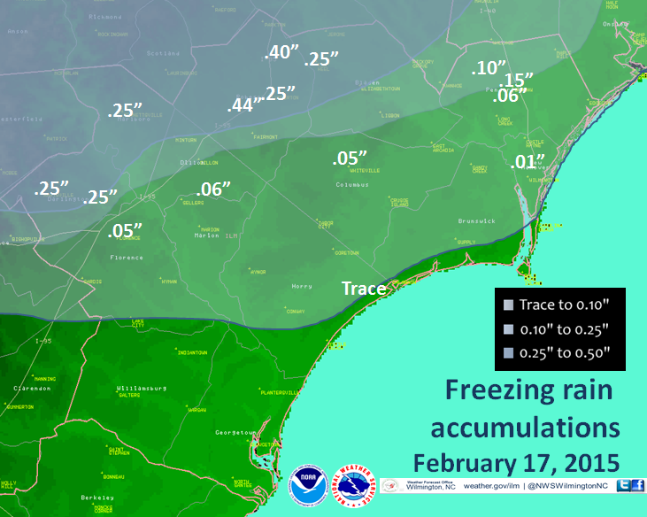
The most substantial accretion of freezing rain occurred from Darlington and Hartsville through Bennettsville, Lumberton, eastward into northern Pender County north of Burgaw. Two locations in Robeson County reported four-tenths of an inch or greater ice accretion. South of this area temperatures were above freezing during the bulk of the weather event. Around sunrise on February 17th low pressure off the coast dragged cold air southward which pushed the freezing line as far south of North Myrtle Beach and Wilmington. A small accretion of freezing rain occurred in these locations at the tail-end of the precipitation event.
Radar loop from 8 pm on February 16, 2015 through 10 am on February 17, 2015.
Some local photos...
 |
 |
 |
 |
Local news stories...
Power Cut For Thousands; Storm Brings Mostly Ice, Inconveniences. The Robesonian, February 17, 2015
County Awaits Thaw; Chilly Temps Remain in Forecast. The Robesonian, February 18, 2015
Page Author: Tim Armstrong
Page Created: February 25, 2015
Last Updated: March 14, 2015
Forecasts
Local Forecasts
Marine
Tropical
Graphical
Aviation
Rain and Rivers
Fire Weather
Discussion
Beach, Rip Current and Surf
Rip Current Risk
Surf Forecast
Coastal Flood
Weather Activity Planner
Forecast Graph/Tab/Text
Model Guidance
Hazards
Mobile Weather
Briefing Page
Local Hazards
Hazardous Weather Outlook
Latest Briefing
Social Media Feeds
EM Briefing
NOAA Weather Radio
Submit Storm Report
Current Conditions
Marine Obs (List)
Observations Map
Satellite
Marine Obs (Map)
Local Observations (List)
Regional Temps and Precipitation
Daily Temp and Precip Summary
Radar
NWS Wilmington Radar
Southeast Regional Radar
Enhanced National Radar
National Radar
Past Weather and Hydrology
Local Climate Records
Climate Plots
Local Hydro Information
Rainfall and Rivers
Past Significant Events
Weather History Calendar
US Dept of Commerce
National Oceanic and Atmospheric Administration
National Weather Service
NWS Wilmington, NC
2015 Gardner Drive
Wilmington, NC 28405
(910) 762-4289
Comments? Questions? Please Contact Us.


 Coastal Flood