National Weather Service United States Department of Commerce

Rain and Thunderstorms in the Southeast; A Wintry Mix in the Southern Mid-Atlantic

A frontal system is expected to bring showers and thunderstorms along the Gulf Coast and Southeast, and some snow and/or freezing rain/drizzle over the southern Mid-Atlantic into the morning. A series of Clipper systems will bring periods of snow to the Northern Plains and Great Lakes over the next couple of days. Read More >

Click a location below for detailed forecast.

Last Map Update: Thu, Feb 5, 2026 at 12:36:38 am PST

High to Very High Transportation Risk will continue through the week. Visibility will be near zero at times. Dangerous fog can move in quickly, before you have time to react, drive carefully or make other plans.
(Updated graphic 4:46 PM Wed, February , 2026) Very High Transportation Risk from 10 pm Wed until Noon PST Thursday. Visibility will be 250 feet to zero. Use caution while driving by slowing down, manually turning on head lights, and keeping distance from other vehicles.
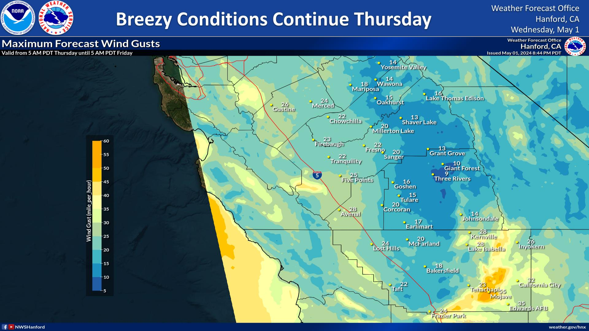
60%-70% Probability for Wind Gusts to 40 mph or greater. Caution for high profile vehicles traveling over Tejon Pass and through the Grapevine.


Text Product Selector (Selected product opens in current window)