
A strong earthquake in the Pacific Basin has generated a tsunami wave. Tsunami Warnings and Advisories have been issued for Hawaii, portions of Alaska, Guam, American Samoa, and the West Coast of the U.S. Read More >
Last Map Update: Wed, Jul 30, 2025 at 3:34:33 am PDT


|
Text Product Selector (Selected product opens in current window)
|
|


 Hanford Radar
 Edwards Radar
 Recent Temperatures
 Satellite
 Weather Map
 Central Valley and Sierra Nevada Smoke Forecast
 Experimental Fog Severity Index
 Social Media
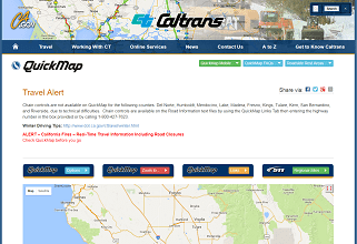 Caltrans QuickMap
 Drought